Bridle Bottoms Wood

Wood, Forest in Suffolk East Suffolk

England

Bridle Bottoms Wood

Tunstall bier A Victorian funeral cart in St Michael's Church
Tunstall bier Credit: Tiger

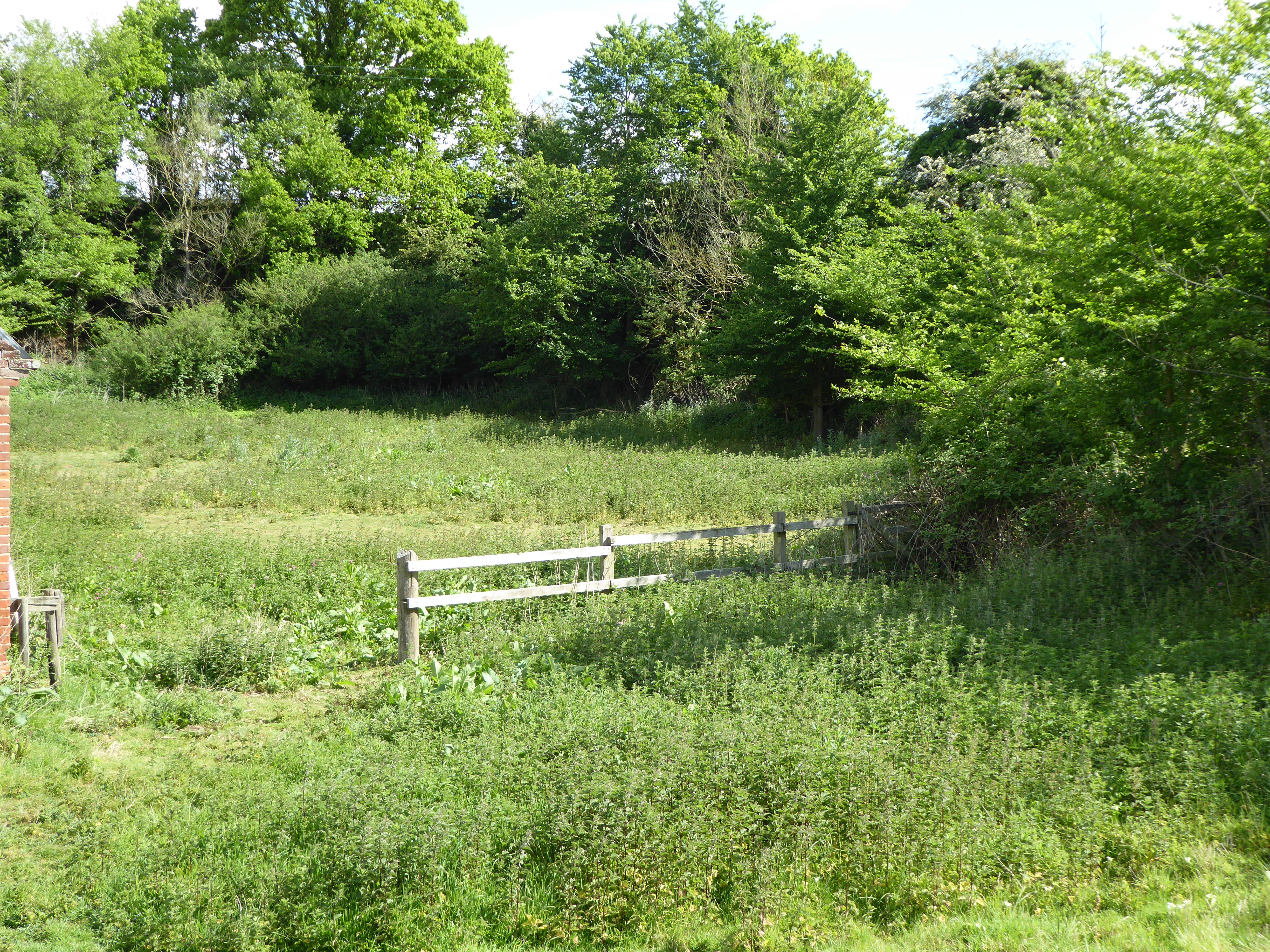
Bridle Bottoms Wood is a picturesque forest located in Suffolk, England. Covering an area of approximately 100 acres, this woodland is a haven for nature enthusiasts and walkers alike. The wood is primarily composed of deciduous trees such as oak, beech, and birch, which create a vibrant canopy during the summer months.

The forest is known for its diverse range of flora and fauna. Wildflowers such as bluebells, primroses, and wood anemones carpet the forest floor in spring, providing a stunning display of colors. Various species of birds, including woodpeckers, thrushes, and owls, can be spotted flitting through the trees, adding to the enchanting atmosphere.

Bridle Bottoms Wood is crisscrossed with well-maintained footpaths, making it an ideal destination for walkers and hikers. These paths wind through the forest, offering visitors the chance to explore the wood at their own pace. The forest is also popular with horse riders, as there are designated bridle paths that allow for enjoyable rides amidst the tranquil surroundings.

Throughout the year, the woodland hosts a range of events and activities for visitors of all ages. From guided nature walks to birdwatching sessions, there is something to suit everyone's interests. Additionally, there are picnic areas and benches scattered throughout the wood, providing the perfect spot to relax and take in the natural beauty.

Bridle Bottoms Wood is a true gem in the Suffolk countryside, offering a serene and peaceful escape from the hustle and bustle of everyday life. Its rich biodiversity and well-maintained trails make it a must-visit destination for nature lovers and outdoor enthusiasts.

If you have any feedback on the listing, please let us know in the comments section below.

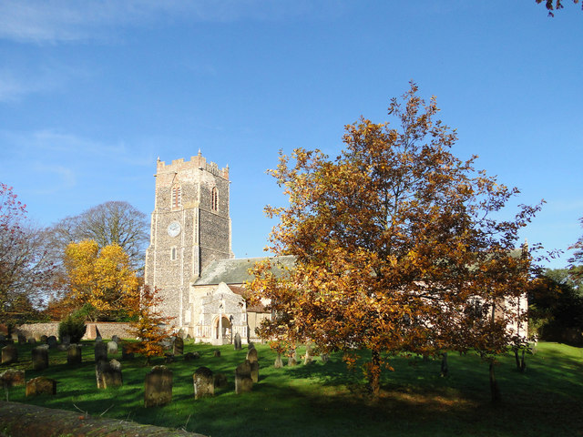
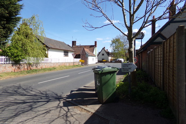
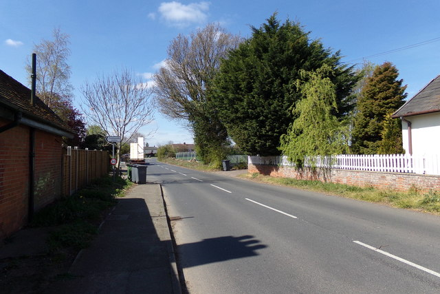
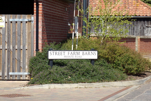
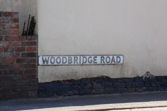
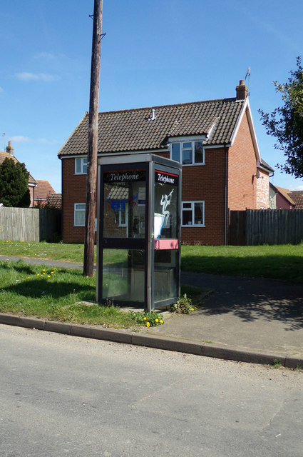
Bridle Bottoms Wood Images

Images are sourced within 2km of 52.129374/1.4563023 or Grid Reference TM3653. Thanks to Geograph Open Source API. All images are credited.

Tunstall bier A Victorian funeral cart in St Michael's Church
Tunstall bier
A Victorian funeral cart in St Michael's Church
Royal Arms of George III On the south wall of St Michael's Church and dated 1764, the quarterings show the arms of England and Scotland, France, Ireland and Hanover.
Royal Arms of George III
On the south wall of St Michael's Church and dated 1764, the quarterings show the arms of England and Scotland, France, Ireland and Hanover.
St Michael's pulpit The style of decoration, recalling cake icing, is unusual in an English church though it might be more common in central Europe.  But they are also conscious of health and safety issues here; one of the church's many colourful kneelers seems to be positioned to guard against the preacher tripping on the narrow stone step, and an extinguisher is at the ready in case the sermon contains anything too inflammatory!
St Michael's pulpit
The style of decoration, recalling cake icing, is unusual in an English church though it might be more common in central Europe. But they are also conscious of health and safety issues here; one of the church's many colourful kneelers seems to be positioned to guard against the preacher tripping on the narrow stone step, and an extinguisher is at the ready in case the sermon contains anything too inflammatory!
St Michael's Church The top of the tall west tower has been repaired in brick, and the south porch has flushwork decorations.
St Michael's Church
The top of the tall west tower has been repaired in brick, and the south porch has flushwork decorations.
St. Michael's church Tunstall <a title="https://www.geograph.org.uk/photo/2117915" href="https://www.geograph.org.uk/photo/2117915">Link</a>
St. Michael's church Tunstall
Cut Mark Rendlesham RAF Bentwaters Control Tower Cut Mark Rendlesham RAF Bentwaters Control Tower, W angle (building 61.)
Cut Mark Rendlesham RAF Bentwaters Control Tower
Cut Mark Rendlesham RAF Bentwaters Control Tower, W angle (building 61.)
B1078 Ash Road, Tunstall At the entrance to Tunstall Village Hall
B1078 Ash Road, Tunstall
At the entrance to Tunstall Village Hall
B1078 Ash Road, Tunstall Looking towards the entrance to Tunstall Village Hall
B1078 Ash Road, Tunstall
Looking towards the entrance to Tunstall Village Hall
Tunstall Defibrillator On The Green Man Public House off the B1069 Woodbridge Road at the junction with the B1078 Ash Road
Tunstall Defibrillator
On The Green Man Public House off the B1069 Woodbridge Road at the junction with the B1078 Ash Road
School Road, Tunstall At the junction with Street Farm Barns
School Road, Tunstall
At the junction with Street Farm Barns
B1078 Ash Road, Tunstall At the junction with B1069 Woodbridge Road near The Green Man Public House
B1078 Ash Road, Tunstall
At the junction with B1069 Woodbridge Road near The Green Man Public House
B1069 Woodbridge Road, Tunstall At the junction with the B1078 Ash Road near the Green Man Public House
B1069 Woodbridge Road, Tunstall
At the junction with the B1078 Ash Road near the Green Man Public House
St. Michael's Church, Tunstall Off the B1069 Orford Road
<span class="nowrap"><a title="http://www.suffolkchurches.co.uk/tunstall.html" rel="nofollow ugc noopener" href="http://www.suffolkchurches.co.uk/tunstall.html">Link</a><img style="margin-left:2px;" alt="External link" title="External link - shift click to open in new window" src="https://s1.geograph.org.uk/img/external.png" width="10" height="10"/></span>
St. Michael's Church, Tunstall
Off the B1069 Orford Road LinkExternal link
St. Michael's Church Path Looking towards the B1069 Orford Road
<span class="nowrap"><a title="http://www.suffolkchurches.co.uk/tunstall.html" rel="nofollow ugc noopener" href="http://www.suffolkchurches.co.uk/tunstall.html">Link</a><img style="margin-left:2px;" alt="External link" title="External link - shift click to open in new window" src="https://s1.geograph.org.uk/img/external.png" width="10" height="10"/></span>
St. Michael's Church Path
Looking towards the B1069 Orford Road LinkExternal link
Street Farm Barns sign On Street Farm Barns at the junction with School Road
Street Farm Barns sign
On Street Farm Barns at the junction with School Road
Woodbridge Road sign On the B1069 Woodbridge Road at the junction with Ash Road
Woodbridge Road sign
On the B1069 Woodbridge Road at the junction with Ash Road
Telephone Box on School Road At the junction with Street Farm Barns
Telephone Box on School Road
At the junction with Street Farm Barns
Walk Farm Road, Tunstall <span class="nowrap"><a title="https://en.wikipedia.org/wiki/Tunstall,_Suffolk" rel="nofollow ugc noopener" href="https://en.wikipedia.org/wiki/Tunstall,_Suffolk">Link</a><img style="margin-left:2px;" alt="External link" title="External link - shift click to open in new window" src="https://s1.geograph.org.uk/img/external.png" width="10" height="10"/></span>
Walk Farm Road, Tunstall
Show me another place!

Bridle Bottoms Wood is located at Grid Ref: TM3653 (Lat: 52.129374, Lng: 1.4563023)

Administrative County: Suffolk

District: East Suffolk

Police Authority: Suffolk

What 3 Words

///slumped.nervy.treatment. Near Rendlesham, Suffolk

Nearby Locations

Bridle Bottoms Wood

Related Wikis

RAF Bentwaters

Royal Air Force Bentwaters or more simply RAF Bentwaters, now known as Bentwaters Parks, is a former Royal Air Force station about 80 miles (130 km) northeast...

Tunstall, Suffolk

On an Ordnance Survey map of Suffolk, England, there are two settlements named Tunstall next to each other, 7.5 miles (12.1 km) north east of Woodbridge...

Tunstall Common

Tunstall Common is a 36.6 hectares (90 acres) biological Site of Special Scientific Interest east of Tunstall in Suffolk. It is part of the Sandlings Special...

Chillesford Church Pit

Chillesford Church Pit is a 1.1-hectare (2.7-acre) geological Site of Special Scientific Interest in Chillesford, south of Saxmundham in Suffolk. It is...

Wantisden

Wantisden is a small village and civil parish in the East Suffolk district of Suffolk in eastern England. Largely consisting of a single farm and ancient...

Sandlings Forest

Sandlings Forest is a 2,483.8 hectare biological Site of Special Scientific Interest in two large blocks, Rendlesham Forest and Tunstall Forest, and two...

Chillesford

Chillesford is a village and civil parish in the East Suffolk district, in the English county of Suffolk. It is located on the B1084 road which runs east...

Butley, Suffolk

Butley is a village and civil parish in the English county of Suffolk. Butley lies 7+1⁄2 miles (12 km) east of the town of Woodbridge on the B1084 (Orford...

Nearby Amenities

Located within 500m of 52.129374,1.4563023
The data included in this document is from www.openstreetmap.org. The data is made available under ODbL.

Have you been to Bridle Bottoms Wood?

Leave your review of Bridle Bottoms Wood below (or comments, questions and feedback).