Cottage Covert
Wood, Forest in Suffolk East Suffolk
England
Cottage Covert

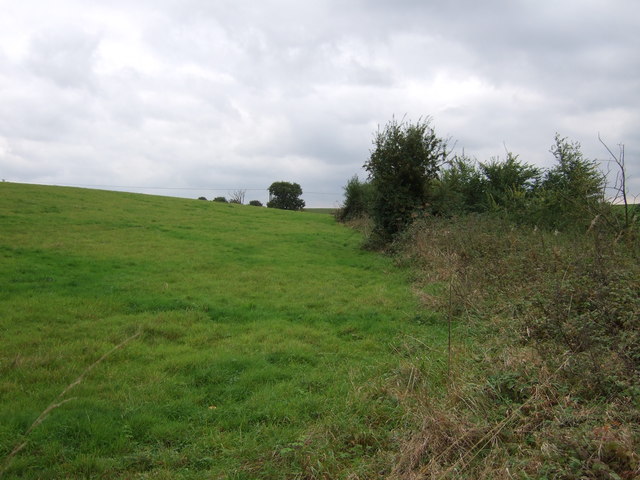
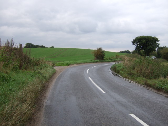
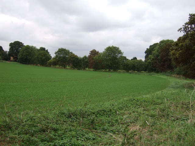
Cottage Covert is a picturesque woodland located in Suffolk, England. Situated within the larger forested area of Suffolk, this enchanting wood is known for its natural beauty and tranquil surroundings. The woodland covers a significant area and is home to a diverse range of flora and fauna, making it a haven for nature enthusiasts and wildlife lovers.
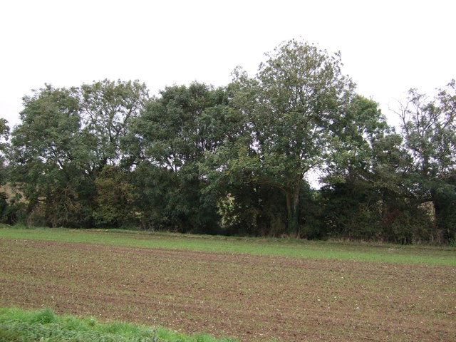
The trees in Cottage Covert predominantly consist of native species such as oak, beech, and birch, creating a dense canopy that provides shade and shelter. The forest floor is adorned with a variety of wildflowers, including bluebells, primroses, and wood anemones, which add bursts of color to the landscape during the spring months.
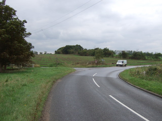
Numerous walking trails wind through the woods, offering visitors the opportunity to explore and appreciate the natural wonders of the area. The trails are well-maintained, making them accessible to both casual strollers and avid hikers. Along these paths, visitors may encounter woodland creatures such as deer, squirrels, and a variety of bird species.
Cottage Covert is a popular destination for outdoor activities such as picnicking, birdwatching, and photography. The peaceful atmosphere and serene surroundings make it an ideal spot for those seeking solace and relaxation in nature.
Overall, Cottage Covert in Suffolk is a captivating woodland that showcases the beauty of the English countryside. With its abundant wildlife, vibrant flora, and inviting trails, it is an excellent place for individuals of all ages to connect with nature and enjoy the tranquility of this charming forest.
If you have any feedback on the listing, please let us know in the comments section below.
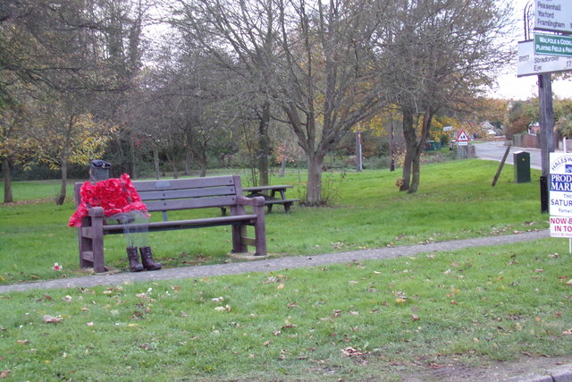
Cottage Covert Images
Images are sourced within 2km of 52.322725/1.4670936 or Grid Reference TM3675. Thanks to Geograph Open Source API. All images are credited.

Cottage Covert is located at Grid Ref: TM3675 (Lat: 52.322725, Lng: 1.4670936)
Administrative County: Suffolk
District: East Suffolk
Police Authority: Suffolk
What 3 Words
///vacancies.professes.chucks. Near Cookley, Suffolk
Nearby Locations
Related Wikis
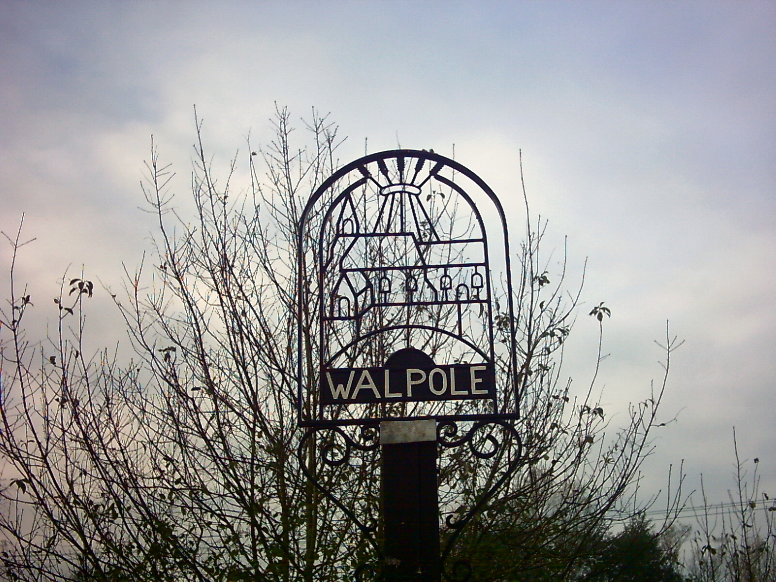
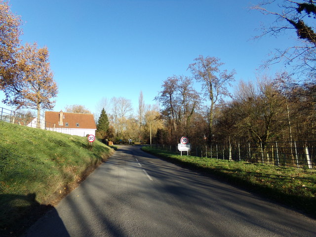
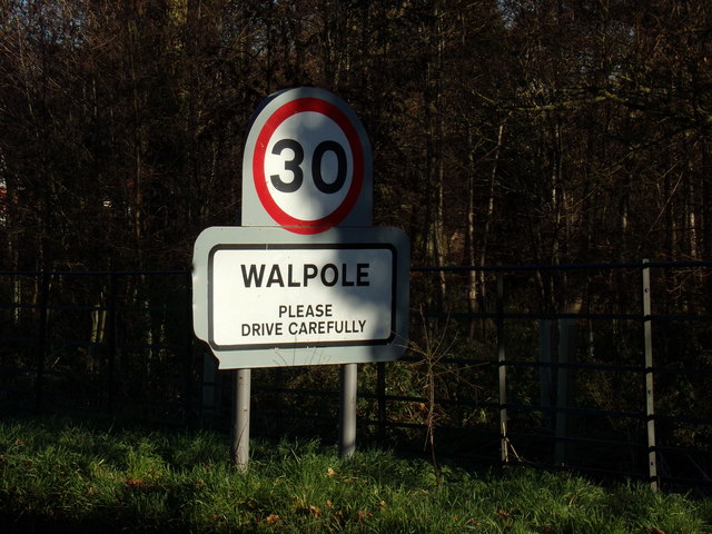
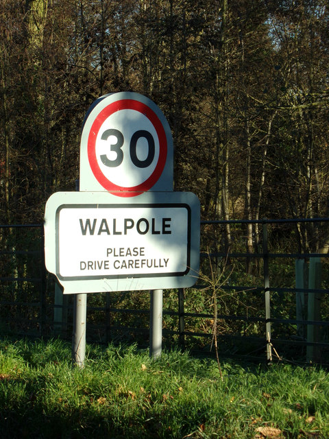
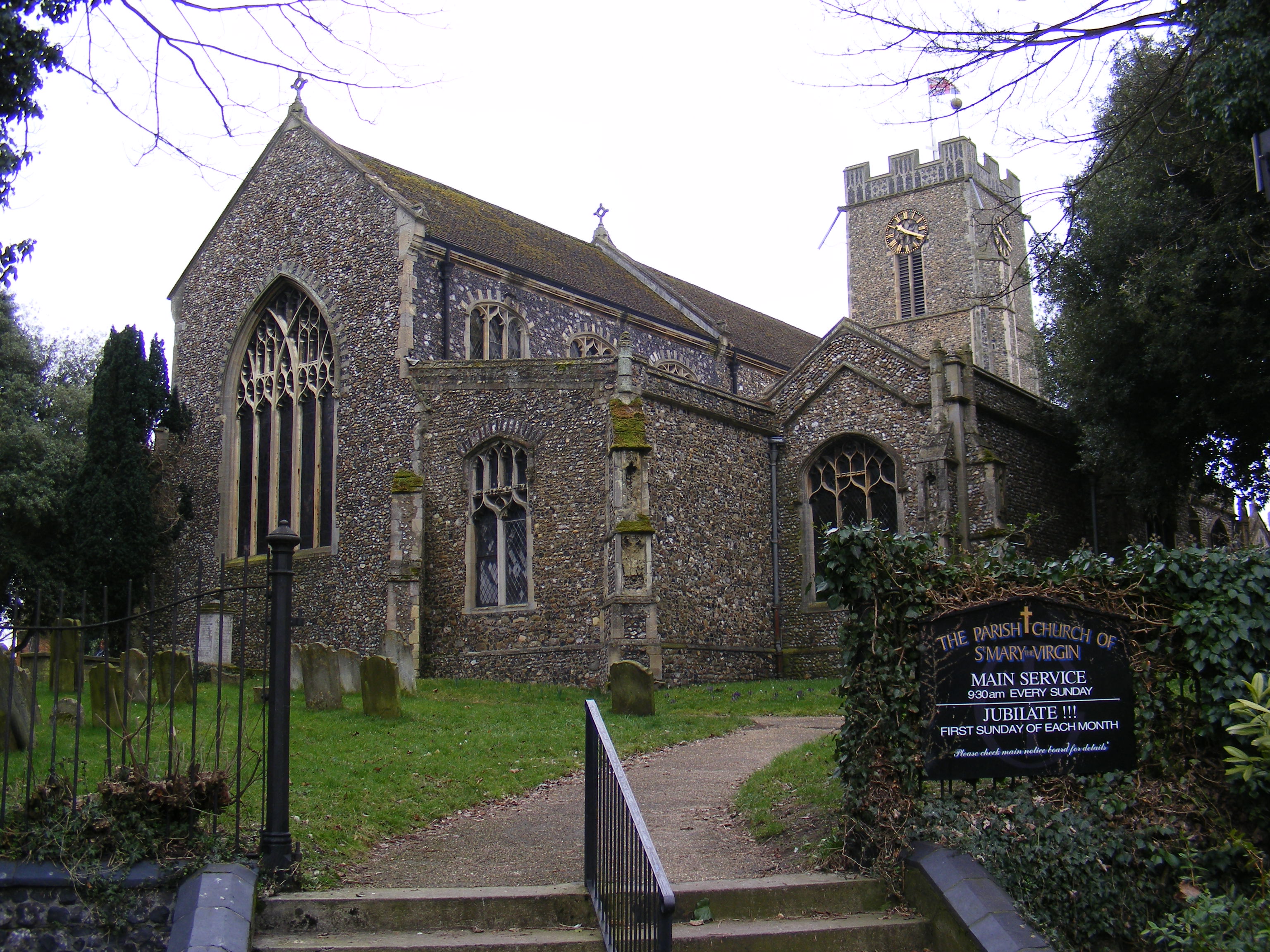
Walpole, Suffolk
Walpole is a small village and civil parish in the district of East Suffolk in Suffolk, England. Walpole has a parish church (dedicated to St Mary), a...

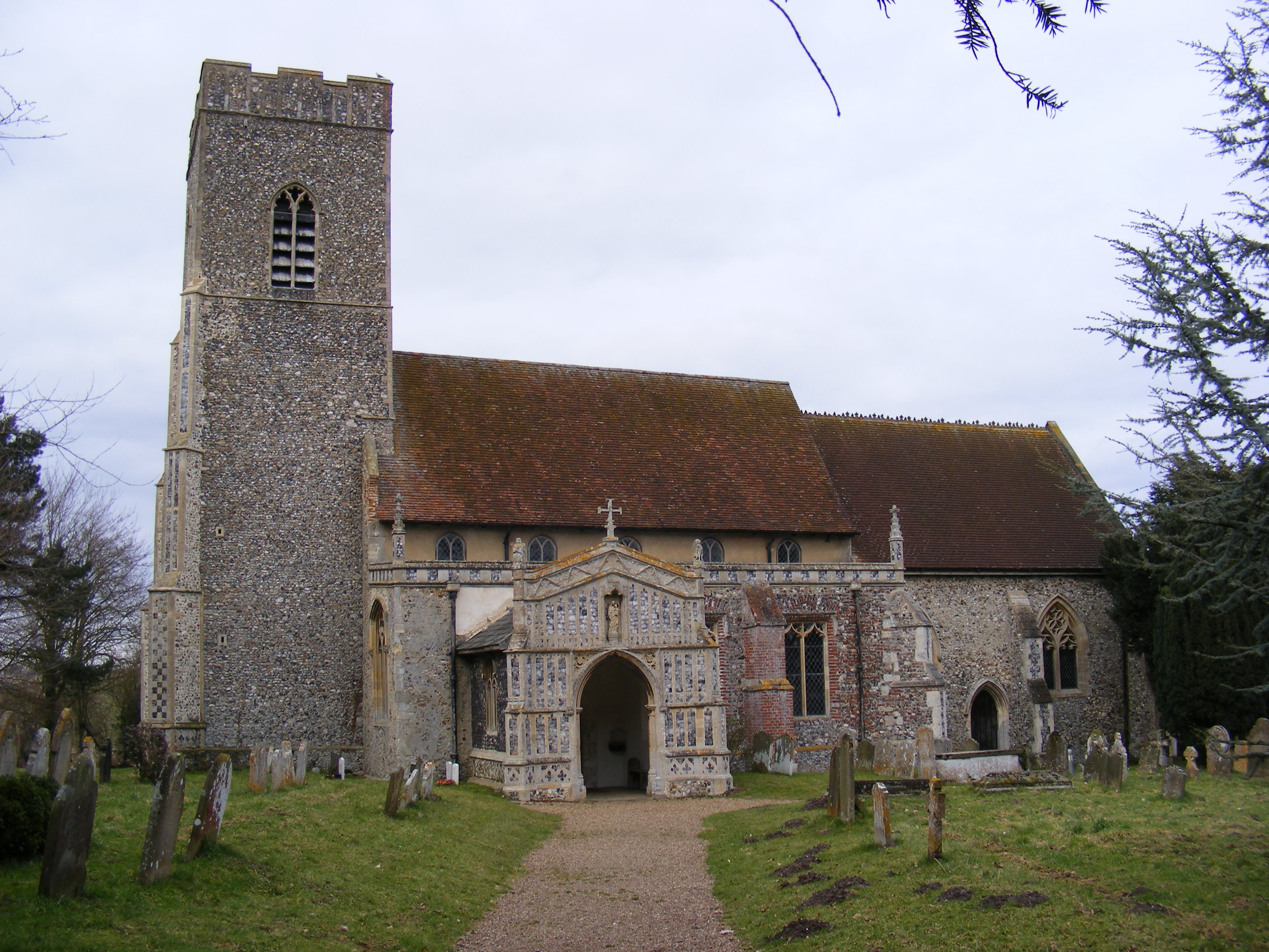
Walpole Old Chapel
Walpole Old Chapel is a redundant chapel in Halesworth Road, Walpole, Suffolk, England. Originally two farmhouses, it was converted into a chapel in the...

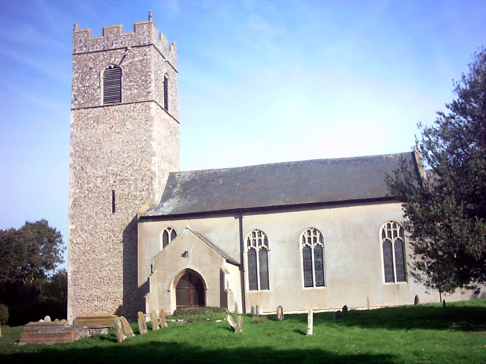
Cookley, Suffolk
Cookley is a small village and civil parish in the East Suffolk district, in the east of the county of Suffolk, England. Nearby settlements include the...
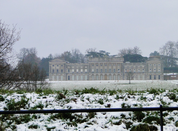
Heveningham Hall
Heveningham Hall is a Grade I listed building in Heveningham, Suffolk. The first house on the site was built for the politician and regicide William Heveningham...
Chediston
Chediston is a village and a civil parish on the B1123 road, in the East Suffolk district, in the English county of Suffolk. It is located 2 miles west...
Huntingfield, Suffolk
Huntingfield is a village near the B1117 road, in the East Suffolk district, in the county of Suffolk, England. The village is close to the source of the...
Halesworth
Halesworth is a market town, civil parish and electoral ward in north-eastern Suffolk, England. The population stood at 4,726 in the 2011 Census. It lies...
Blyth Navigation
The Blyth Navigation was a canal in Suffolk, England, running 7 miles (11 km) from Halesworth to the North Sea at Southwold. It opened in 1761, and was...
Nearby Amenities
Located within 500m of 52.322725,1.4670936Have you been to Cottage Covert?
Leave your review of Cottage Covert below (or comments, questions and feedback).