Bulham's Covert

Wood, Forest in Suffolk East Suffolk

England

Bulham's Covert

Crinkle-crankle wall at Rumburgh The wall faces onto The Street near Whyteway
Crinkle-crankle wall at Rumburgh Credit: Adrian S Pye

Bulham's Covert, located in Suffolk, England, is an enchanting woodland known for its dense forest and serene ambiance. Spread over a vast area, it captivates visitors with its natural beauty and diverse range of flora and fauna. The covert is situated in close proximity to the village of Bulham, hence its name.

Covered in a lush canopy of trees, Bulham's Covert is predominantly composed of oak, beech, and birch trees, which provide a rich habitat for various wildlife species. The forest floor is adorned with a carpet of vibrant wildflowers such as bluebells, primroses, and foxgloves during the spring months, creating a picturesque scene.

The woodland is home to a plethora of wildlife, including deer, foxes, badgers, and various species of birds. Birdwatchers often visit the covert to catch a glimpse of rare species such as tawny owls, woodpeckers, and red kites. The tranquil environment and abundance of natural resources also attract numerous insects, making the woodland a haven for butterflies and bees.

Walking trails wind through the covert, allowing visitors to explore and immerse themselves in the peaceful surroundings. Nature enthusiasts can enjoy birdwatching, wildlife photography, or simply find solace in the peaceful atmosphere. The woodland also provides an ideal setting for picnics, family outings, or leisurely walks, offering a refreshing escape from the hustle and bustle of everyday life.

Overall, Bulham's Covert in Suffolk offers a captivating natural retreat for those seeking tranquility and a chance to reconnect with nature.

If you have any feedback on the listing, please let us know in the comments section below.

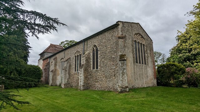
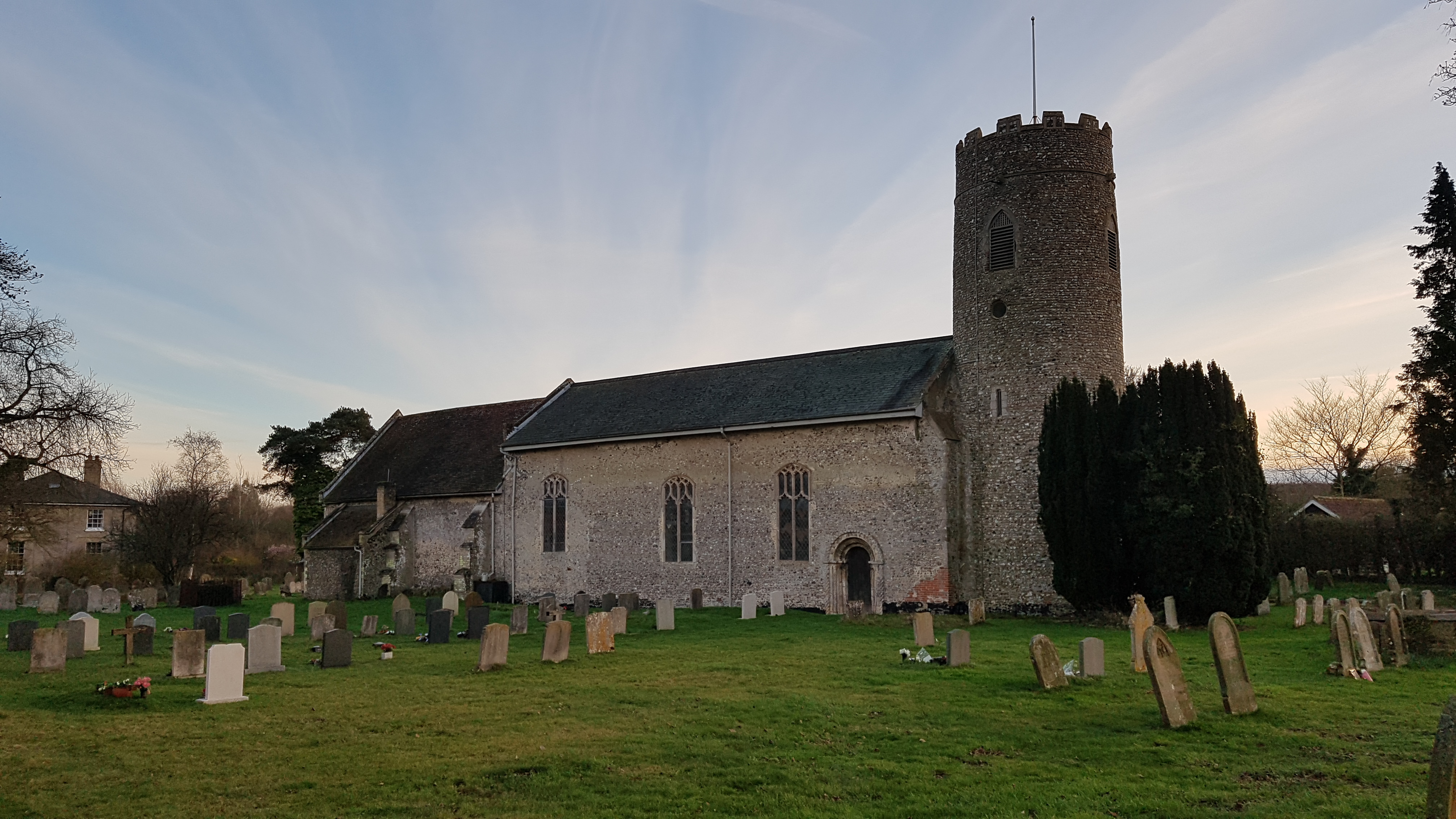
Bulham's Covert Images

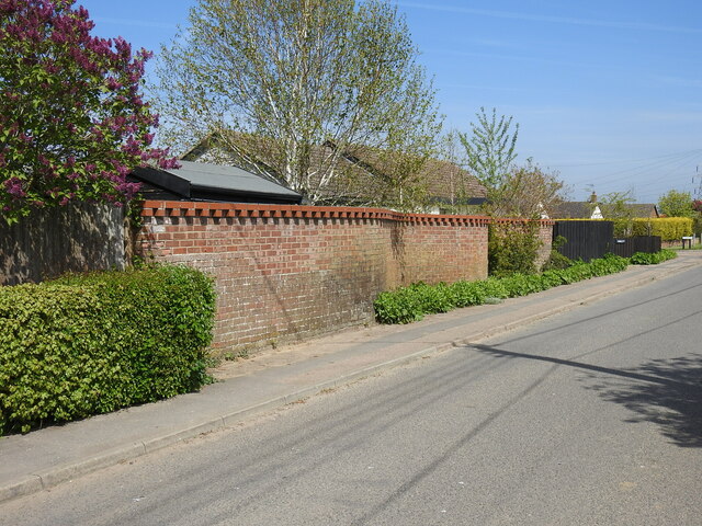
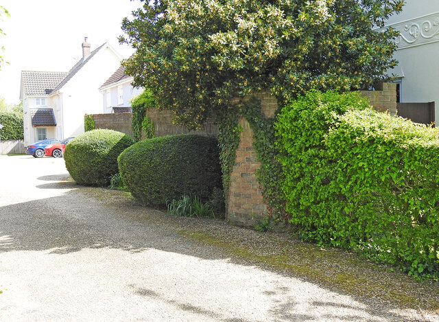
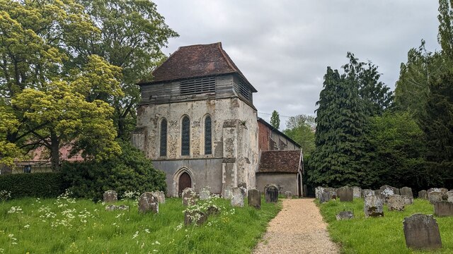
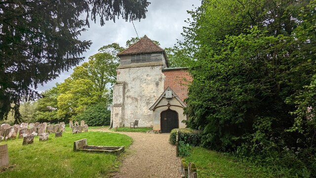
Images are sourced within 2km of 52.374707/1.470947 or Grid Reference TM3680. Thanks to Geograph Open Source API. All images are credited.

Crinkle-crankle wall at Rumburgh The wall faces onto The Street near Whyteway
Crinkle-crankle wall at Rumburgh
The wall faces onto The Street near Whyteway
The wall is partially obscured by hedges To be found in a small development called The Forge, not surprisingly where the Rumburgh Blacksmith, Robert Green, once used to ply his trade.
The wall is partially obscured by hedges
To be found in a small development called The Forge, not surprisingly where the Rumburgh Blacksmith, Robert Green, once used to ply his trade.
Church of St. Michael and St. Felix, Rumburgh <span class="nowrap"><a title="https://historicengland.org.uk/listing/the-list/list-entry/1283749?section=official-list-entry" rel="nofollow ugc noopener" href="https://historicengland.org.uk/listing/the-list/list-entry/1283749?section=official-list-entry">Link</a><img style="margin-left:2px;" alt="External link" title="External link - shift click to open in new window" src="https://s1.geograph.org.uk/img/external.png" width="10" height="10"/></span>
Church of St. Michael and St. Felix, Rumburgh
The Swan, Wissett Former public house. <span class="nowrap"><a title="https://historicengland.org.uk/listing/the-list/list-entry/1032026?section=official-list-entry" rel="nofollow ugc noopener" href="https://historicengland.org.uk/listing/the-list/list-entry/1032026?section=official-list-entry">Link</a><img style="margin-left:2px;" alt="External link" title="External link - shift click to open in new window" src="https://s1.geograph.org.uk/img/external.png" width="10" height="10"/></span>
The Swan, Wissett
Former public house. LinkExternal link
Church of St. Andrew, Wissett <span class="nowrap"><a title="https://historicengland.org.uk/listing/the-list/list-entry/1199160?section=official-list-entry" rel="nofollow ugc noopener" href="https://historicengland.org.uk/listing/the-list/list-entry/1199160?section=official-list-entry">Link</a><img style="margin-left:2px;" alt="External link" title="External link - shift click to open in new window" src="https://s1.geograph.org.uk/img/external.png" width="10" height="10"/></span>
Church of St. Andrew, Wissett
Arable land off Gavell Street, Rumburgh
Looking along The Street, Rumburgh
Moat at Moat Farm, Rumburgh
Rumburgh Lane Looking north along Rumburgh Lane near to Stone Street, Suffolk.
Rumburgh Lane
Looking north along Rumburgh Lane near to Stone Street, Suffolk.
To Brook Hall Driveway to Brook Hallnear to Spexhall, Suffolk.
To Brook Hall
Driveway to Brook Hallnear to Spexhall, Suffolk.
St Michael and St Felix Church, Rumburgh When approaching from the west and passing remains of a moat and seeing the dominating west tower, it is realised that this is not a normal church. Indeed the church was not built as a parish church but as the church of a small Benedictine Priory. Aethelmaer,Bishop of Elmham, and Thurstan, Abbot of St Benet at Holme, jointly founded the priory between 1047 and 1064. It was a cell of Holme Abbey in Norfolk. Brother Blakere was the first prior. In 1070 the Bishop fell out of favour. The property was transferred to Count Alan the Red of Brittany who was a follower of William the Conqueror. On Alan's death, his brother gave Rumburgh Priory to the Abbey of St Mary in York.

In the Domesday Book of 1086 it was recorded that 12 monks lived at the Priory. It was suppressed in 1528 and Cardinal Wolsey was granted the Priory's property and incomes.

The plan of the church is Saxon with the broad west tower instead of a Saxon porch (according to Pevsner), and a nave and chancel of the same width. There are no aisles and no chapels. The west tower does dominate - it is wider than it is deep. It dates in its present form from the mid-13th century. See <span class="nowrap"><a title="http://www.suffolkchurches.co.uk/rumburgh.htm" rel="nofollow ugc noopener" href="http://www.suffolkchurches.co.uk/rumburgh.htm">Link</a><img style="margin-left:2px;" alt="External link" title="External link - shift click to open in new window" src="https://s1.geograph.org.uk/img/external.png" width="10" height="10"/></span> for more detailed information and photographs and also <span class="nowrap"><a title="https://www.achurchnearyou.com/rumburgh-south-elham-all-saints-st-michael-st/" rel="nofollow ugc noopener" href="https://www.achurchnearyou.com/rumburgh-south-elham-all-saints-st-michael-st/">Link</a><img style="margin-left:2px;" alt="External link" title="External link - shift click to open in new window" src="https://s1.geograph.org.uk/img/external.png" width="10" height="10"/></span>   For an impression of how the priory looked at the time of its dissolution and how it related to the present church tower see <a title="https://www.geograph.org.uk/photo/5518785" href="https://www.geograph.org.uk/photo/5518785">Link</a>
St Michael and St Felix Church, Rumburgh
When approaching from the west and passing remains of a moat and seeing the dominating west tower, it is realised that this is not a normal church. Indeed the church was not built as a parish church but as the church of a small Benedictine Priory. Aethelmaer,Bishop of Elmham, and Thurstan, Abbot of St Benet at Holme, jointly founded the priory between 1047 and 1064. It was a cell of Holme Abbey in Norfolk. Brother Blakere was the first prior. In 1070 the Bishop fell out of favour. The property was transferred to Count Alan the Red of Brittany who was a follower of William the Conqueror. On Alan's death, his brother gave Rumburgh Priory to the Abbey of St Mary in York. In the Domesday Book of 1086 it was recorded that 12 monks lived at the Priory. It was suppressed in 1528 and Cardinal Wolsey was granted the Priory's property and incomes. The plan of the church is Saxon with the broad west tower instead of a Saxon porch (according to Pevsner), and a nave and chancel of the same width. There are no aisles and no chapels. The west tower does dominate - it is wider than it is deep. It dates in its present form from the mid-13th century. See LinkExternal link for more detailed information and photographs and also LinkExternal link For an impression of how the priory looked at the time of its dissolution and how it related to the present church tower see Link
St Michael and St Felix Church, Rumburgh When approaching from the west and passing remains of a moat and seeing the dominating west tower, it is realised that this is not a normal church. Indeed the church was not built as a parish church but as the church of a small Benedictine Priory. Aethelmaer,Bishop of Elmham, and Thurstan, Abbot of St Benet at Holme, jointly founded the priory between 1047 and 1064. It was a cell of Holme Abbey in Norfolk. Brother Blakere was the first prior. In 1070 the Bishop fell out of favour. The property was transferred to Count Alan the Red of Brittany who was a follower of William the Conqueror. On Alan's death, his brother gave Rumburgh Priory to the Abbey of St Mary in York.

In the Domesday Book of 1086 it was recorded that 12 monks lived at the Priory. It was suppressed in 1528 and Cardinal Wolsey was granted the Priory's property and incomes.

The plan of the church is Saxon with the broad west tower instead of a Saxon porch (according to Pevsner), and a nave and chancel of the same width. There are no aisles and no chapels. The west tower does dominate - it is wider than it is deep. It dates in its present form from the mid-13th century. See <span class="nowrap"><a title="http://www.suffolkchurches.co.uk/rumburgh.htm" rel="nofollow ugc noopener" href="http://www.suffolkchurches.co.uk/rumburgh.htm">Link</a><img style="margin-left:2px;" alt="External link" title="External link - shift click to open in new window" src="https://s1.geograph.org.uk/img/external.png" width="10" height="10"/></span> for more detailed information and photographs and also <span class="nowrap"><a title="https://www.achurchnearyou.com/rumburgh-south-elham-all-saints-st-michael-st/" rel="nofollow ugc noopener" href="https://www.achurchnearyou.com/rumburgh-south-elham-all-saints-st-michael-st/">Link</a><img style="margin-left:2px;" alt="External link" title="External link - shift click to open in new window" src="https://s1.geograph.org.uk/img/external.png" width="10" height="10"/></span>  For an impression of how the priory looked at the time of its dissolution and how it related to the present church tower see <a title="https://www.geograph.org.uk/photo/5518785" href="https://www.geograph.org.uk/photo/5518785">Link</a>
St Michael and St Felix Church, Rumburgh
When approaching from the west and passing remains of a moat and seeing the dominating west tower, it is realised that this is not a normal church. Indeed the church was not built as a parish church but as the church of a small Benedictine Priory. Aethelmaer,Bishop of Elmham, and Thurstan, Abbot of St Benet at Holme, jointly founded the priory between 1047 and 1064. It was a cell of Holme Abbey in Norfolk. Brother Blakere was the first prior. In 1070 the Bishop fell out of favour. The property was transferred to Count Alan the Red of Brittany who was a follower of William the Conqueror. On Alan's death, his brother gave Rumburgh Priory to the Abbey of St Mary in York. In the Domesday Book of 1086 it was recorded that 12 monks lived at the Priory. It was suppressed in 1528 and Cardinal Wolsey was granted the Priory's property and incomes. The plan of the church is Saxon with the broad west tower instead of a Saxon porch (according to Pevsner), and a nave and chancel of the same width. There are no aisles and no chapels. The west tower does dominate - it is wider than it is deep. It dates in its present form from the mid-13th century. See LinkExternal link for more detailed information and photographs and also LinkExternal link For an impression of how the priory looked at the time of its dissolution and how it related to the present church tower see Link
Approaching St Michael and St Felix Church, Rumburgh When approaching from the west and passing remains of a moat and seeing the dominating west tower, it is realised that this is not a normal church. Indeed the church was not built as a parish church but as the church of a small Benedictine Priory. Aethelmaer,Bishop of Elmham, and Thurstan, Abbot of St Benet at Holme, jointly founded the priory between 1047 and 1064. It was a cell of Holme Abbey in Norfolk. Brother Blakere was the first prior. In 1070 the Bishop fell out of favour. The property was transferred to Count Alan the Red of Brittany who was a follower of William the Conqueror. On Alan's death, his brother gave Rumburgh Priory to the Abbey of St Mary in York.

In the Domesday Book of 1086 it was recorded that 12 monks lived at the Priory. It was suppressed in 1528 and Cardinal Wolsey was granted the Priory's property and incomes.

The plan of the church is Saxon with the broad west tower instead of a Saxon porch (according to Pevsner), and a nave and chancel of the same width. There are no aisles and no chapels. The west tower does dominate - it is wider than it is deep. It dates in its present form from the mid-13th century. See <span class="nowrap"><a title="http://www.suffolkchurches.co.uk/rumburgh.htm" rel="nofollow ugc noopener" href="http://www.suffolkchurches.co.uk/rumburgh.htm">Link</a><img style="margin-left:2px;" alt="External link" title="External link - shift click to open in new window" src="https://s1.geograph.org.uk/img/external.png" width="10" height="10"/></span> for more detailed information and photographs and also <span class="nowrap"><a title="https://www.achurchnearyou.com/rumburgh-south-elham-all-saints-st-michael-st/" rel="nofollow ugc noopener" href="https://www.achurchnearyou.com/rumburgh-south-elham-all-saints-st-michael-st/">Link</a><img style="margin-left:2px;" alt="External link" title="External link - shift click to open in new window" src="https://s1.geograph.org.uk/img/external.png" width="10" height="10"/></span>  For an impression of how the priory looked at the time of its dissolution and how it related to the present church tower see <a title="https://www.geograph.org.uk/photo/5518785" href="https://www.geograph.org.uk/photo/5518785">Link</a>
Approaching St Michael and St Felix Church, Rumburgh
When approaching from the west and passing remains of a moat and seeing the dominating west tower, it is realised that this is not a normal church. Indeed the church was not built as a parish church but as the church of a small Benedictine Priory. Aethelmaer,Bishop of Elmham, and Thurstan, Abbot of St Benet at Holme, jointly founded the priory between 1047 and 1064. It was a cell of Holme Abbey in Norfolk. Brother Blakere was the first prior. In 1070 the Bishop fell out of favour. The property was transferred to Count Alan the Red of Brittany who was a follower of William the Conqueror. On Alan's death, his brother gave Rumburgh Priory to the Abbey of St Mary in York. In the Domesday Book of 1086 it was recorded that 12 monks lived at the Priory. It was suppressed in 1528 and Cardinal Wolsey was granted the Priory's property and incomes. The plan of the church is Saxon with the broad west tower instead of a Saxon porch (according to Pevsner), and a nave and chancel of the same width. There are no aisles and no chapels. The west tower does dominate - it is wider than it is deep. It dates in its present form from the mid-13th century. See LinkExternal link for more detailed information and photographs and also LinkExternal link For an impression of how the priory looked at the time of its dissolution and how it related to the present church tower see Link
Interior of St Michael and St Felix Church, Rumburgh When approaching from the west and passing remains of a moat and seeing the dominating west tower, it is realised that this is not a normal church. Indeed the church was not built as a parish church but as the church of a small Benedictine Priory. Aethelmaer,Bishop of Elmham, and Thurstan, Abbot of St Benet at Holme, jointly founded the priory between 1047 and 1064. It was a cell of Holme Abbey in Norfolk. Brother Blakere was the first prior. In 1070 the Bishop fell out of favour. The property was transferred to Count Alan the Red of Brittany who was a follower of William the Conqueror. On Alan's death, his brother gave Rumburgh Priory to the Abbey of St Mary in York.

In the Domesday Book of 1086 it was recorded that 12 monks lived at the Priory. It was suppressed in 1528 and Cardinal Wolsey was granted the Priory's property and incomes.

The plan of the church is Saxon with the broad west tower instead of a Saxon porch (according to Pevsner), and a nave and chancel of the same width. There are no aisles and no chapels. The west tower does dominate - it is wider than it is deep. It dates in its present form from the mid-13th century. See <span class="nowrap"><a title="http://www.suffolkchurches.co.uk/rumburgh.htm" rel="nofollow ugc noopener" href="http://www.suffolkchurches.co.uk/rumburgh.htm">Link</a><img style="margin-left:2px;" alt="External link" title="External link - shift click to open in new window" src="https://s1.geograph.org.uk/img/external.png" width="10" height="10"/></span> for more detailed information and photographs and also <span class="nowrap"><a title="https://www.achurchnearyou.com/rumburgh-south-elham-all-saints-st-michael-st/" rel="nofollow ugc noopener" href="https://www.achurchnearyou.com/rumburgh-south-elham-all-saints-st-michael-st/">Link</a><img style="margin-left:2px;" alt="External link" title="External link - shift click to open in new window" src="https://s1.geograph.org.uk/img/external.png" width="10" height="10"/></span>

This view looks from the west end along the nave towards the chancel.
Interior of St Michael and St Felix Church, Rumburgh
When approaching from the west and passing remains of a moat and seeing the dominating west tower, it is realised that this is not a normal church. Indeed the church was not built as a parish church but as the church of a small Benedictine Priory. Aethelmaer,Bishop of Elmham, and Thurstan, Abbot of St Benet at Holme, jointly founded the priory between 1047 and 1064. It was a cell of Holme Abbey in Norfolk. Brother Blakere was the first prior. In 1070 the Bishop fell out of favour. The property was transferred to Count Alan the Red of Brittany who was a follower of William the Conqueror. On Alan's death, his brother gave Rumburgh Priory to the Abbey of St Mary in York. In the Domesday Book of 1086 it was recorded that 12 monks lived at the Priory. It was suppressed in 1528 and Cardinal Wolsey was granted the Priory's property and incomes. The plan of the church is Saxon with the broad west tower instead of a Saxon porch (according to Pevsner), and a nave and chancel of the same width. There are no aisles and no chapels. The west tower does dominate - it is wider than it is deep. It dates in its present form from the mid-13th century. See LinkExternal link for more detailed information and photographs and also LinkExternal link This view looks from the west end along the nave towards the chancel.
Show me another place!

Bulham's Covert is located at Grid Ref: TM3680 (Lat: 52.374707, Lng: 1.470947)

Administrative County: Suffolk

District: East Suffolk

Police Authority: Suffolk

What 3 Words

///lifelong.playfully.straying. Near Halesworth, Suffolk

Related Wikis

Wissett

Wissett is a village and civil parish in the English county of Suffolk. It is 2 miles (3.2 km) north-east of the market town of Halesworth in the East...

Spexhall

Spexhall is a village and civil parish in the north-east of the English county of Suffolk. The village, which is dispersed in nature, is around 1.5 miles...

Rumburgh

Rumburgh is a village and civil parish in the English county of Suffolk. It is 3.5 miles (5.6 km) north-west of the market town of Halesworth in the East...

Rumburgh Priory

Rumburgh Priory was a Benedictine priory located in the village of Rumburgh in the English county of Suffolk. The priory was founded in about 1065 as a...

Have you been to Bulham's Covert?

Leave your review of Bulham's Covert below (or comments, questions and feedback).