Farm Carr
Wood, Forest in Norfolk Broadland
England
Farm Carr

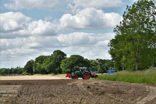
Farm Carr, located in Norfolk, England, is a picturesque wood and forested area that covers a vast expanse of land. It is a popular destination for nature enthusiasts and outdoor enthusiasts alike.
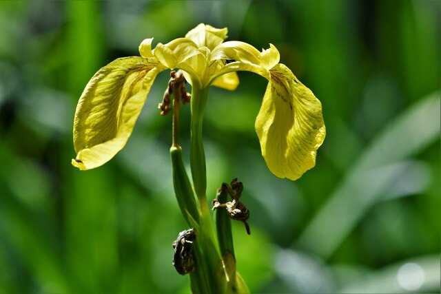
The landscape of Farm Carr is characterized by its dense woodland, with a variety of trees such as oak, beech, and birch dominating the area. The forest floor is covered with a diverse array of flora, including bluebells, foxgloves, and ferns, creating a vibrant and colorful atmosphere.
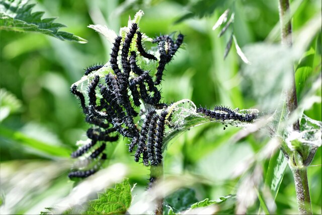
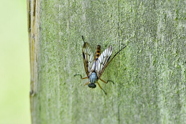
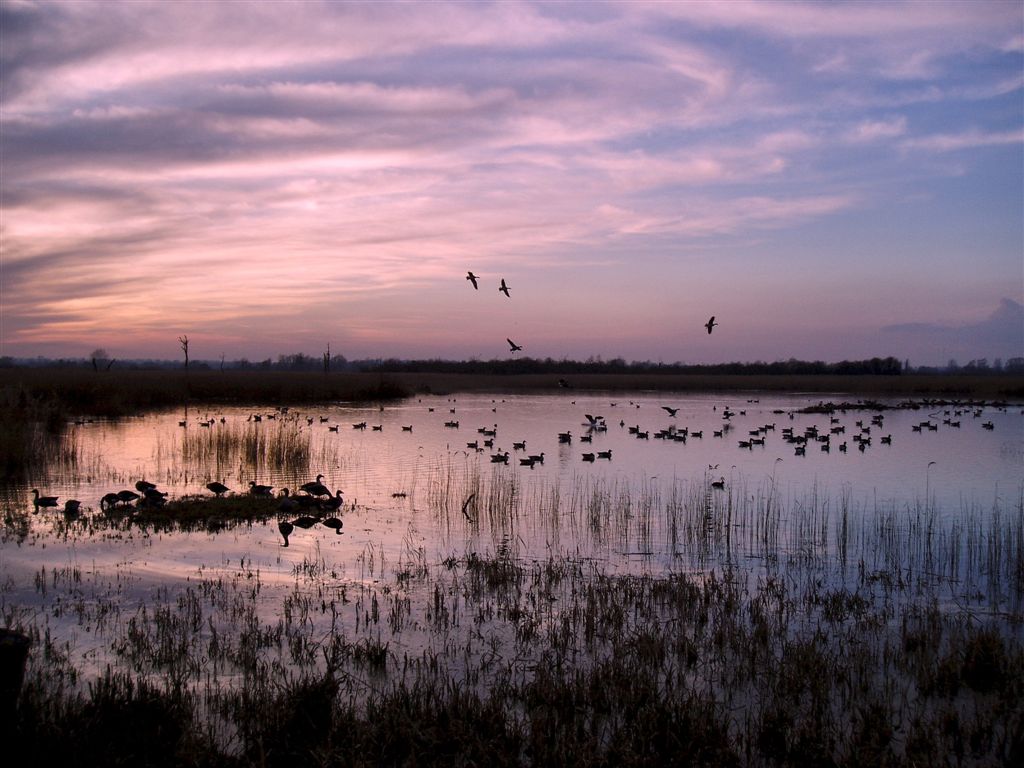
The forest is home to an abundance of wildlife, making it a haven for animal lovers and birdwatchers. Visitors may be lucky enough to spot deer, foxes, badgers, and a variety of bird species, including woodpeckers, owls, and kingfishers. The forest provides a perfect habitat for these animals, offering shelter, food, and protection from predators.
Farm Carr offers a range of recreational activities for visitors to enjoy. There are several well-maintained trails that wind through the forest, providing opportunities for hiking, walking, and cycling. These trails offer stunning views of the surrounding countryside and provide a chance to immerse oneself in the natural beauty of the area.
The forest also features picnic areas and designated camping spots, allowing visitors to fully experience the tranquility and serenity of Farm Carr. Additionally, there are educational programs and workshops available to learn about the local flora and fauna, making it an ideal destination for families and school groups.
Overall, Farm Carr in Norfolk is a captivating wood and forest that offers a wealth of natural beauty, wildlife, and recreational activities for visitors to enjoy.
If you have any feedback on the listing, please let us know in the comments section below.
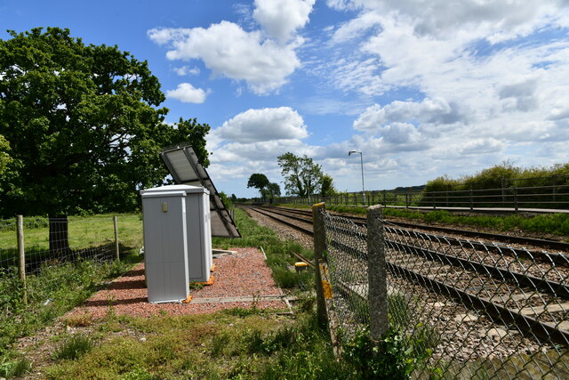
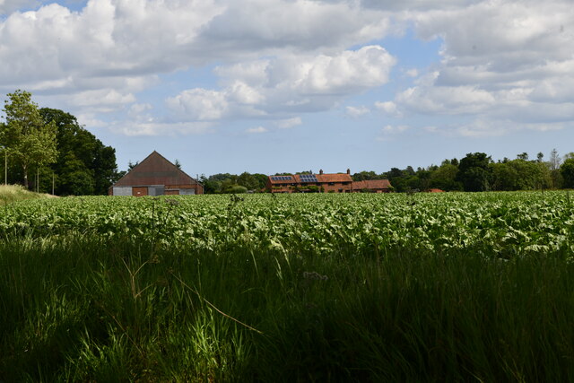
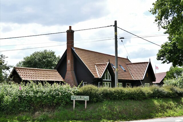
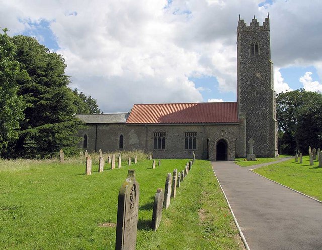
Farm Carr Images
Images are sourced within 2km of 52.607777/1.4591677 or Grid Reference TG3406. Thanks to Geograph Open Source API. All images are credited.


Farm Carr is located at Grid Ref: TG3406 (Lat: 52.607777, Lng: 1.4591677)
Administrative County: Norfolk
District: Broadland
Police Authority: Norfolk
What 3 Words
///mattress.hero.showcases. Near Lingwood, Norfolk
Nearby Locations
Related Wikis
Strumpshaw Fen RSPB reserve
Strumpshaw Fen is a nature reserve managed by the Royal Society for the Protection of Birds (RSPB). It is situated at Strumpshaw on the River Yare in the...

Strumpshaw Hall Steam Museum
The Strumpshaw Hall Steam Museum in Strumpshaw, Norfolk, is home to a collection of traction engines, steam rollers, a showman's engine and a steam wagon...

Yare Broads and Marshes
Yare Broads and Marshes is a 744.5-hectare (1,840-acre) biological Site of Special Scientific Interest east of Norwich in Norfolk, England. Part of the...
Strumpshaw
Strumpshaw is a village and civil parish in the English county of Norfolk. It is located on the northern bank of the River Yare around 6 miles (9.7 km...
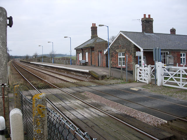
Buckenham railway station
Buckenham railway station is on the Wherry Lines in the east of England, serving the village of Buckenham in Norfolk. It is 7 miles 62 chains (12.5 km...
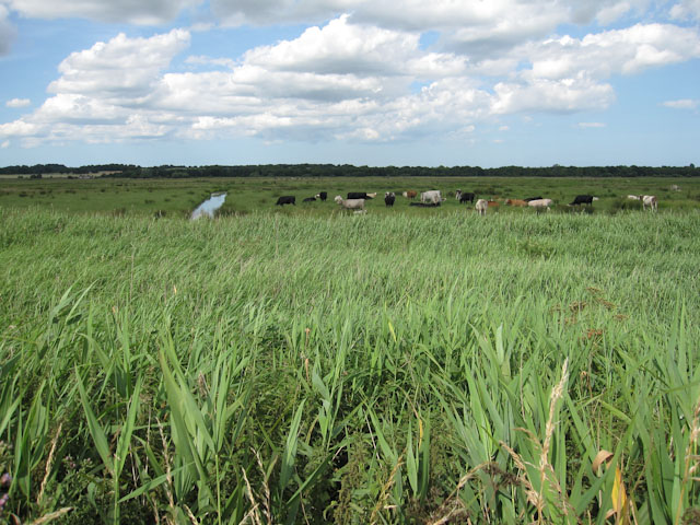
Buckenham Marshes RSPB reserve
Buckenham Marshes RSPB reserve is a nature reserve located on the northern bank of the River Yare in the English county of Norfolk. The reserve is located...
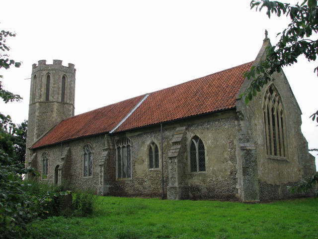
St Nicholas Church, Buckenham
St Nicholas Church is a redundant Anglican church in the village of Buckenham, Norfolk, England. It is recorded in the National Heritage List for England...
Buckenham
Buckenham is a small village in the English county of Norfolk situated on the northern bank of the River Yare around 7 miles (11 km) south-east of Norwich...
Nearby Amenities
Located within 500m of 52.607777,1.4591677Have you been to Farm Carr?
Leave your review of Farm Carr below (or comments, questions and feedback).