Hannan's Carr
Wood, Forest in Norfolk Broadland
England
Hannan's Carr

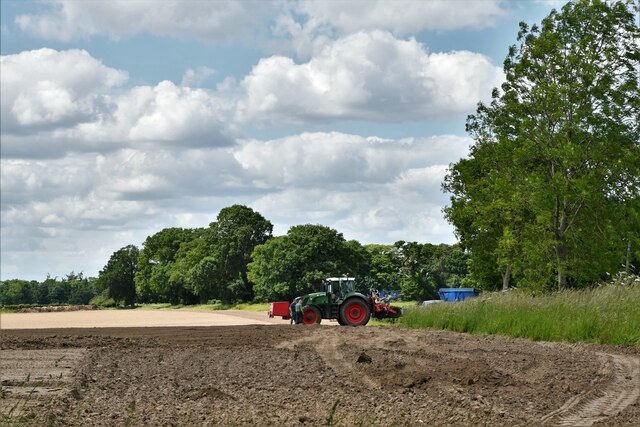
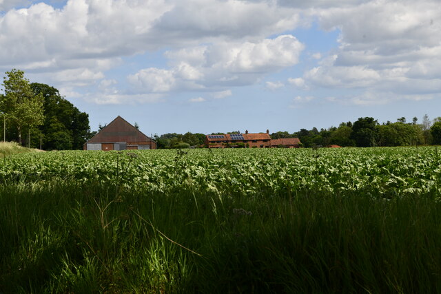
Hannan's Carr, located in Norfolk, England, is a beautiful and serene woodland area known for its picturesque landscapes and diverse flora and fauna. It is part of Norfolk's vast forest region, which stretches across the county and is renowned for its natural beauty.
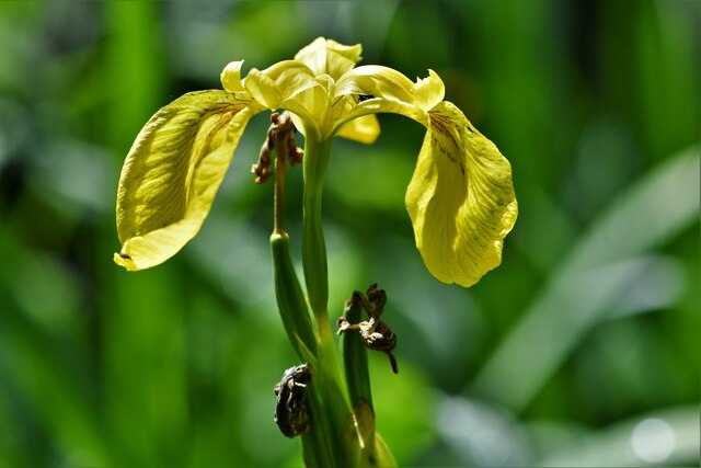
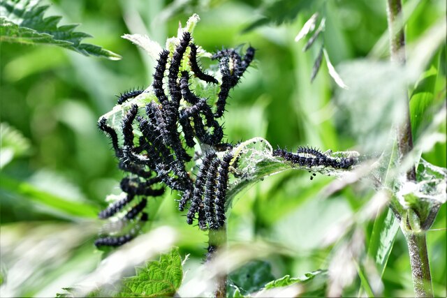
Covering an area of approximately 200 hectares, Hannan's Carr is characterized by its dense woodland, consisting mainly of oak and beech trees. These trees create a lush canopy that provides shade and shelter for a wide range of wildlife. Nature enthusiasts and birdwatchers flock to the area to catch a glimpse of some of the 150 bird species that call Hannan's Carr home, including woodpeckers, owls, and various songbirds.
The forest floor is carpeted with a rich variety of wildflowers, ferns, and mosses, creating a vibrant and colorful undergrowth. Walking trails meander through the woods, offering visitors the opportunity to explore the area's natural wonders at their own pace. The peacefulness and tranquility of Hannan's Carr make it a popular destination for those seeking a break from the hustle and bustle of everyday life.
Moreover, the woodland ecosystem is carefully managed by conservationists to ensure the preservation of its biodiversity. Sustainable forestry practices are implemented, balancing the needs of the local community with the protection of the forest's natural resources.
Overall, Hannan's Carr is a haven for nature lovers, offering a unique opportunity to immerse oneself in the beauty of Norfolk's woodlands and experience the wonders of its diverse ecosystem.
If you have any feedback on the listing, please let us know in the comments section below.
Hannan's Carr Images
Images are sourced within 2km of 52.601309/1.4586132 or Grid Reference TG3406. Thanks to Geograph Open Source API. All images are credited.


Hannan's Carr is located at Grid Ref: TG3406 (Lat: 52.601309, Lng: 1.4586132)
Administrative County: Norfolk
District: Broadland
Police Authority: Norfolk
What 3 Words
///equipment.scores.seaweed. Near Lingwood, Norfolk
Nearby Locations
Related Wikis

Strumpshaw Hall Steam Museum
The Strumpshaw Hall Steam Museum in Strumpshaw, Norfolk, is home to a collection of traction engines, steam rollers, a showman's engine and a steam wagon...
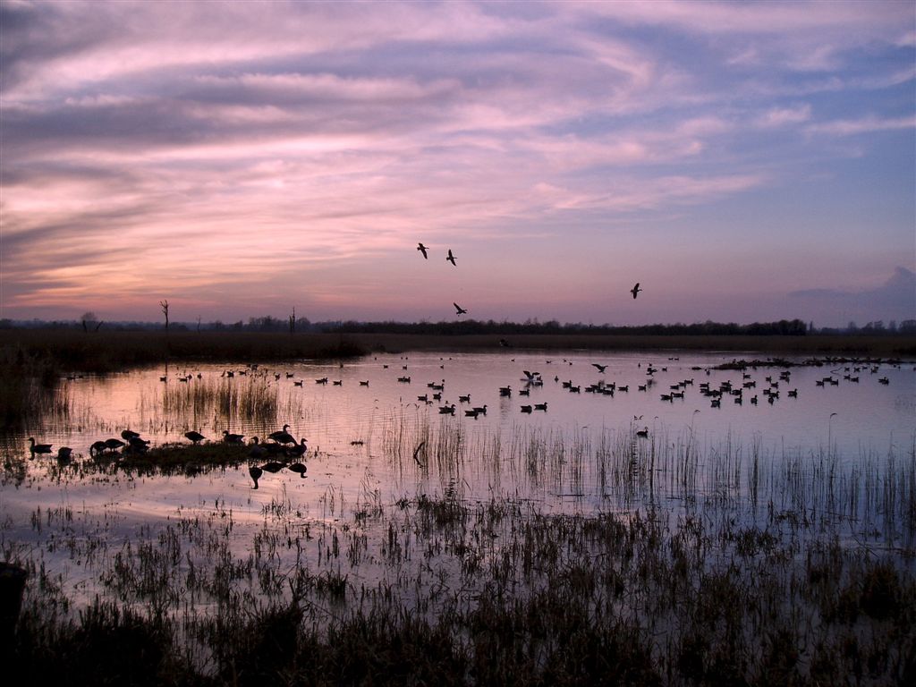
Strumpshaw Fen RSPB reserve
Strumpshaw Fen is a nature reserve managed by the Royal Society for the Protection of Birds (RSPB). It is situated at Strumpshaw on the River Yare in the...

Yare Broads and Marshes
Yare Broads and Marshes is a 744.5-hectare (1,840-acre) biological Site of Special Scientific Interest east of Norwich in Norfolk, England. Part of the...
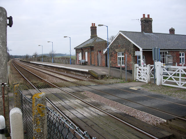
Buckenham railway station
Buckenham railway station is on the Wherry Lines in the east of England, serving the village of Buckenham in Norfolk. It is 7 miles 62 chains (12.5 km...
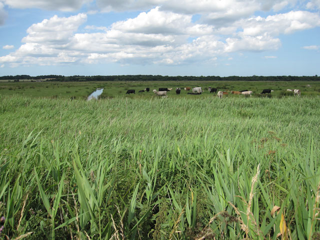
Buckenham Marshes RSPB reserve
Buckenham Marshes RSPB reserve is a nature reserve located on the northern bank of the River Yare in the English county of Norfolk. The reserve is located...
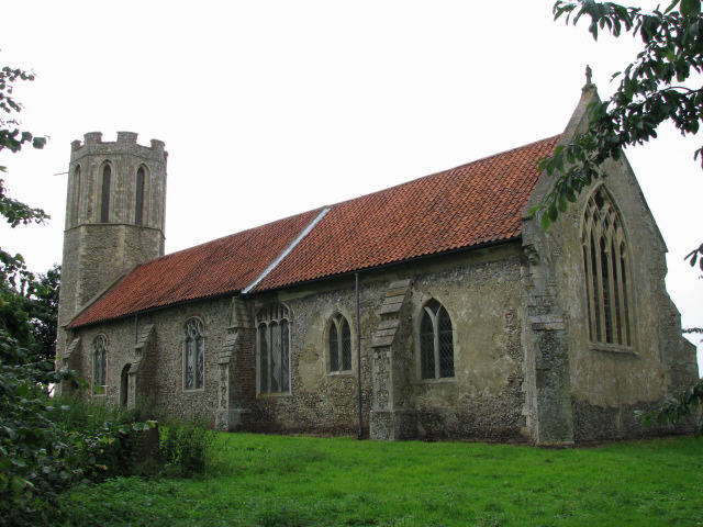
St Nicholas Church, Buckenham
St Nicholas Church is a redundant Anglican church in the village of Buckenham, Norfolk, England. It is recorded in the National Heritage List for England...
Buckenham
Buckenham is a small village in the English county of Norfolk situated on the northern bank of the River Yare around 7 miles (11 km) south-east of Norwich...
Mid-Yare National Nature Reserve
Mid-Yare NNR is a national nature reserve in Norfolk, east of Norwich, established by English Nature and managed by the Royal Society for the Protection...
Nearby Amenities
Located within 500m of 52.601309,1.4586132Have you been to Hannan's Carr?
Leave your review of Hannan's Carr below (or comments, questions and feedback).