Firebrass Covert
Wood, Forest in Suffolk East Suffolk
England
Firebrass Covert
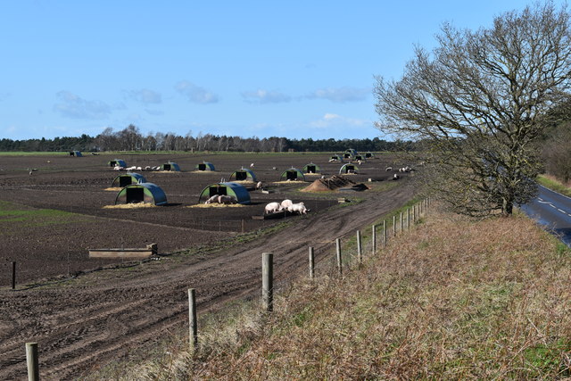
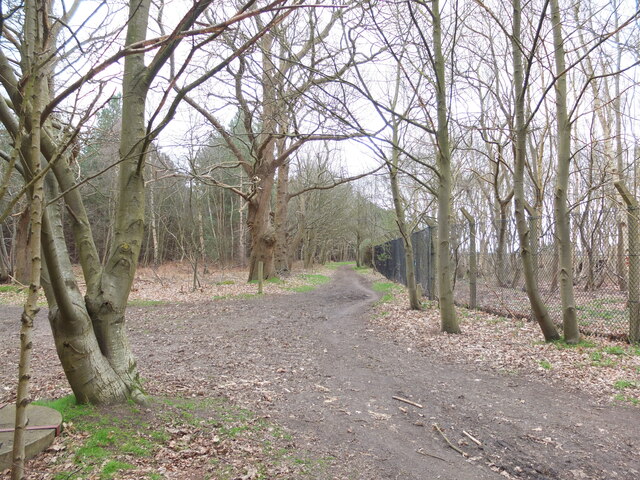
Firebrass Covert is a woodland area located in Suffolk, England. Situated in the county's countryside, this covert is known for its dense forest and varied wildlife. The woodland consists mainly of deciduous trees, such as oak, beech, and birch, which create a lush and vibrant canopy.
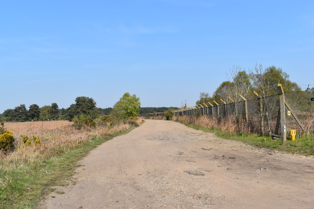
Covering an area of approximately 50 acres, Firebrass Covert provides a peaceful and serene environment for visitors to enjoy. The woodland is crisscrossed by well-maintained footpaths, allowing for easy exploration and access to the surrounding nature. These paths lead visitors through a diverse landscape, including open clearings, babbling brooks, and shaded groves.
The woodland is home to a range of wildlife species, making it a popular spot for nature enthusiasts and birdwatchers. Commonly spotted creatures include deer, foxes, rabbits, badgers, and a variety of bird species, including woodpeckers and owls. The diverse ecosystem of Firebrass Covert also supports a rich array of flora, including bluebells, wild garlic, and ferns.
Firebrass Covert is a haven for outdoor activities such as walking, hiking, and picnicking. Visitors can take advantage of the well-equipped picnic areas and enjoy the tranquil surroundings. The woodland also offers opportunities for photography and nature study, as well as a chance to escape the hustle and bustle of everyday life and immerse oneself in the beauty of nature.
Overall, Firebrass Covert in Suffolk is a picturesque and biodiverse woodland, offering a peaceful retreat for nature lovers and outdoor enthusiasts alike.
If you have any feedback on the listing, please let us know in the comments section below.
Firebrass Covert Images
Images are sourced within 2km of 52.0902/1.3907901 or Grid Reference TM3248. Thanks to Geograph Open Source API. All images are credited.


Firebrass Covert is located at Grid Ref: TM3248 (Lat: 52.0902, Lng: 1.3907901)
Administrative County: Suffolk
District: East Suffolk
Police Authority: Suffolk
What 3 Words
///study.chef.increment. Near Rendlesham, Suffolk
Nearby Locations
Related Wikis
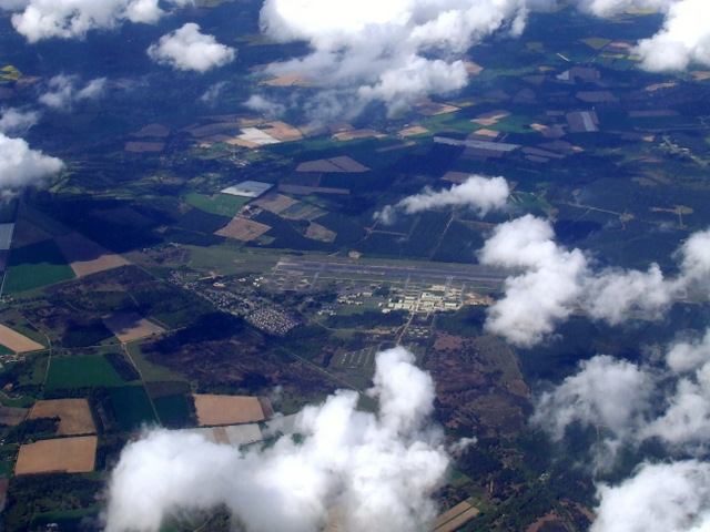
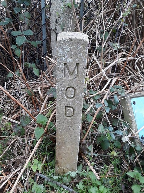
MoD Woodbridge
Ministry of Defence Woodbridge or MoD Woodbridge is a military installation located near the town of Woodbridge, in Suffolk, England. The site opened in...
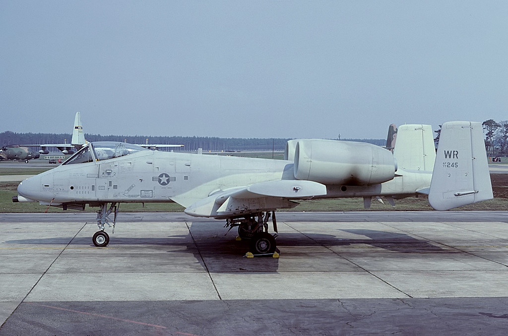
RAF Woodbridge
Royal Air Force Woodbridge, or more simply RAF Woodbridge, is a former Royal Air Force station located east of Woodbridge in the county of Suffolk, England...

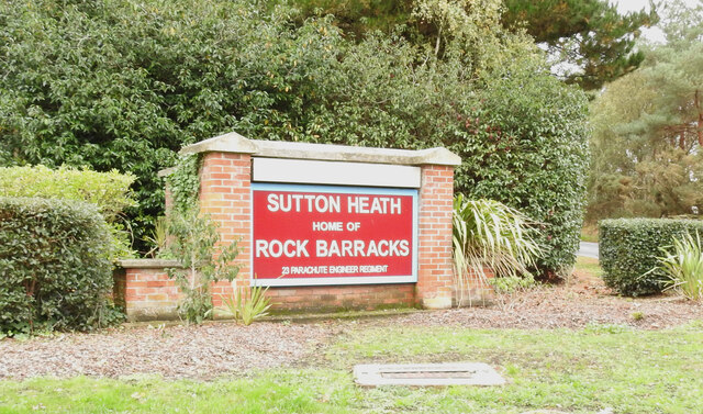
Sutton Heath
Sutton Heath is a civil parish on the former site of RAF Woodbridge, in the East Suffolk district, in the county of Suffolk, England. The parish was formed...
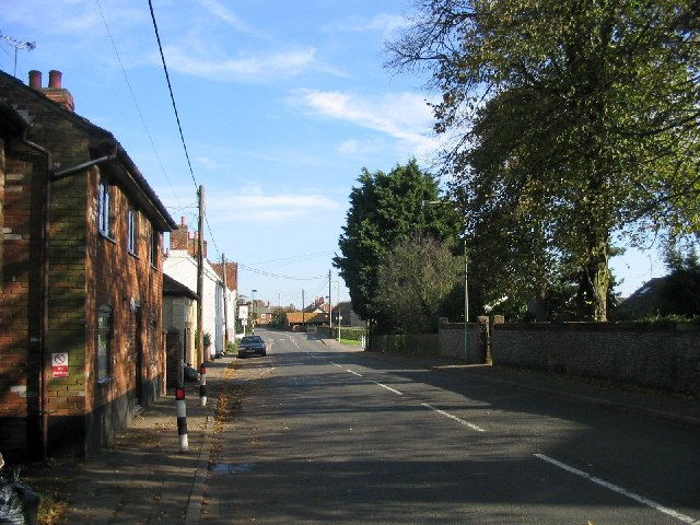
Eyke
Eyke is a village and a civil parish in the East Suffolk district, in the English county of Suffolk. It is located on the A1152 road near the town of Woodbridge...
Nearby Amenities
Located within 500m of 52.0902,1.3907901Have you been to Firebrass Covert?
Leave your review of Firebrass Covert below (or comments, questions and feedback).