Frogmore
Settlement in Hertfordshire St. Albans
England
Frogmore
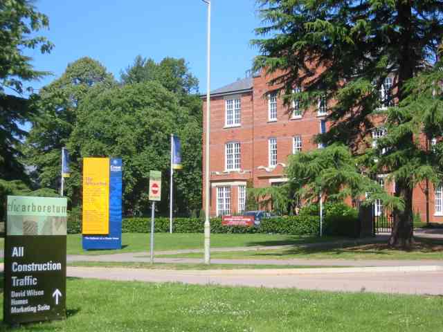
Frogmore is a small village located in the county of Hertfordshire, England. Situated approximately 30 miles north of London, it falls within the administrative district of Dacorum. With a population of around 1,000 residents, Frogmore is known for its peaceful and rural setting.
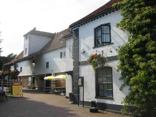
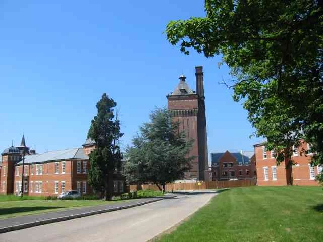
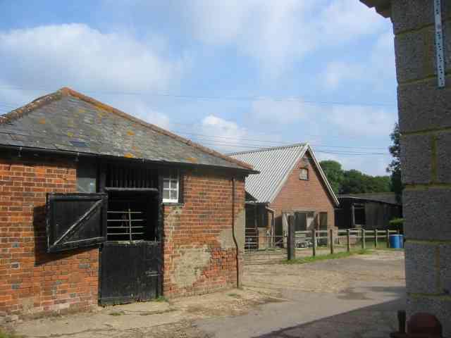
The village is surrounded by picturesque countryside, characterized by rolling hills and lush green fields. It is nestled in close proximity to the Grand Union Canal, providing residents with scenic walking and cycling routes. Frogmore benefits from its rural location, offering a tranquil atmosphere and a sense of community.
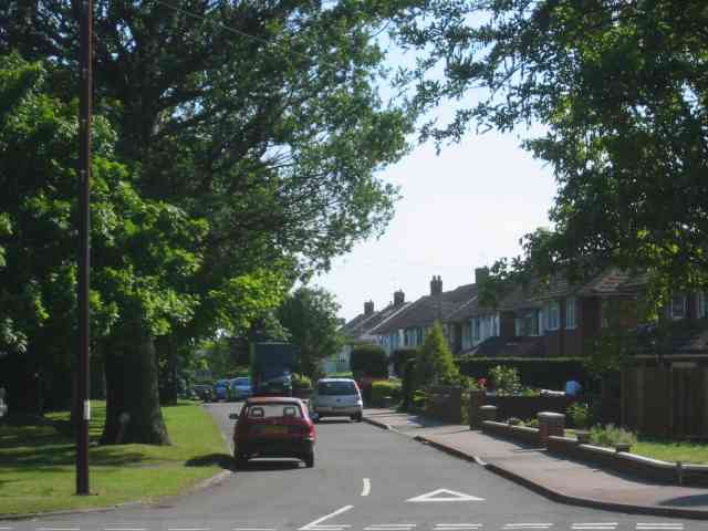
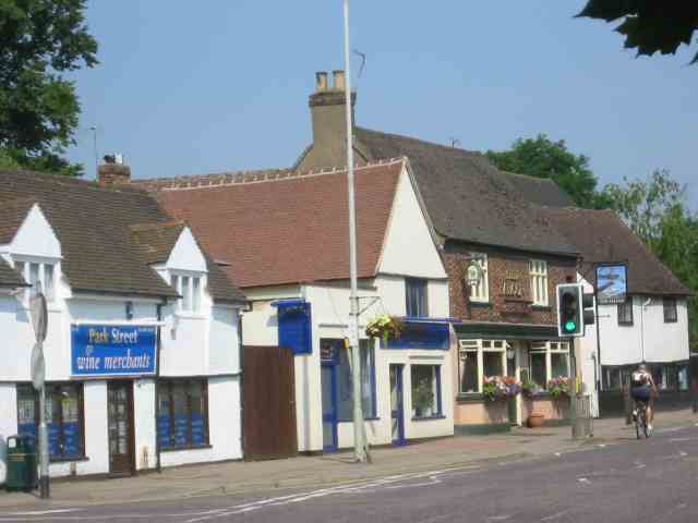
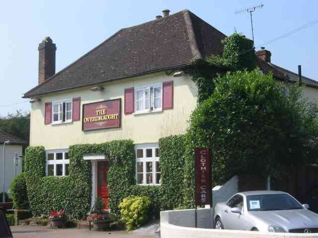
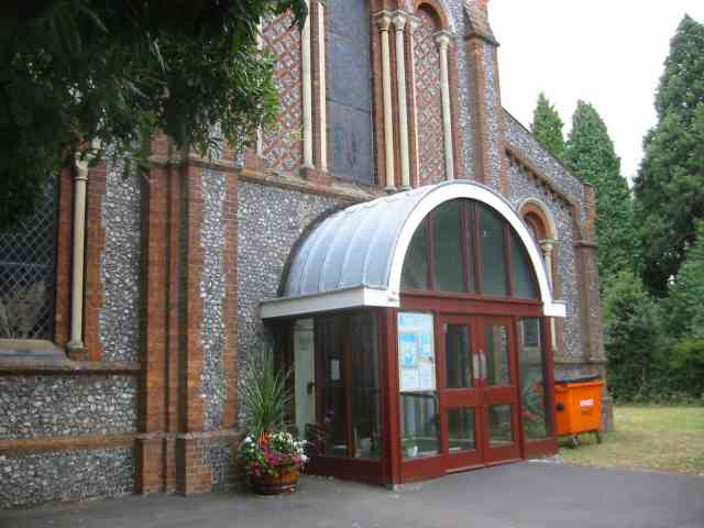
The village is primarily residential, with a mix of traditional cottages and more modern houses. Facilities include a local pub, the Frogmore Community Centre, and a primary school, which caters to the educational needs of the village and surrounding areas.
Frogmore has a rich history, with evidence of human settlement dating back to the Roman era. The village's name is believed to be derived from the Old English words "frog" and "mere," indicating a marshy area inhabited by frogs. This historical connection is reflected in the village sign, which features a depiction of a frog.
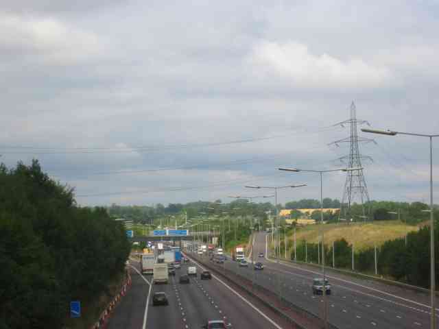
Transport links to Frogmore are convenient, with nearby access to the A41 and M1 motorway. The village is also served by regular bus services, connecting residents to nearby towns and cities.
Overall, Frogmore offers a charming and idyllic rural lifestyle, making it an attractive place to live for those seeking a peaceful retreat within easy reach of urban amenities.
If you have any feedback on the listing, please let us know in the comments section below.
Frogmore Images
Images are sourced within 2km of 51.718015/-0.33484519 or Grid Reference TL1503. Thanks to Geograph Open Source API. All images are credited.


Frogmore is located at Grid Ref: TL1503 (Lat: 51.718015, Lng: -0.33484519)
Administrative County: Hertfordshire
District: St. Albans
Police Authority: Hertfordshire
What 3 Words
///digit.shiny.intelligible. Near St Albans, Hertfordshire
Nearby Locations
Related Wikis
Frogmore, Hertfordshire
Frogmore is a village 3 miles (4.8 km) north of Radlett in Hertfordshire, and 2 miles (3.2 km) south of St Albans city centre (though in said city's contiguous...

Park Street, Hertfordshire
Park Street is a small Hertfordshire village on the southern outskirts of, and around 2 miles (3.2 km) south of the city centre of St Albans in England...
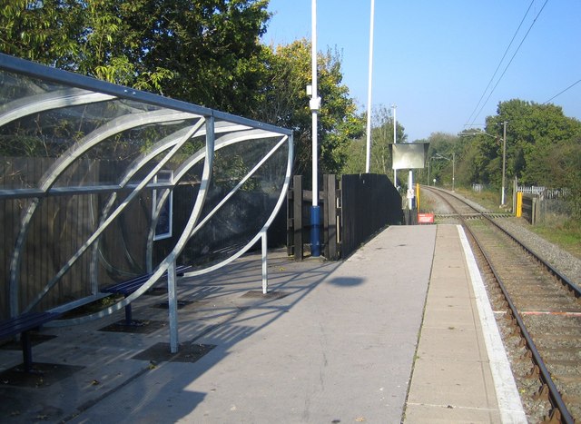
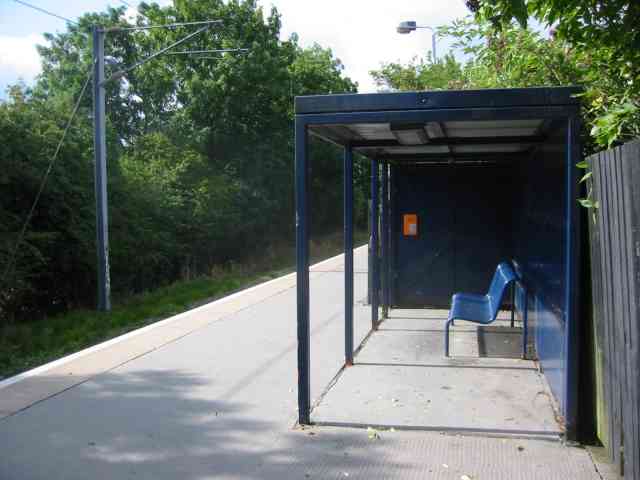
How Wood railway station
How Wood railway station is in the village of How Wood, Hertfordshire, England. It is the fourth station on the Abbey Line, 4+1⁄2 miles (7.2 km) from Watford...
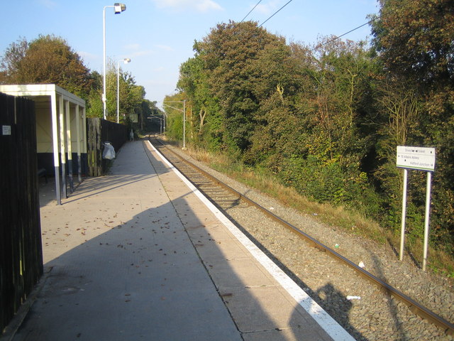
Park Street railway station (England)
Park Street railway station serves the village of Park Street, Hertfordshire, England. It is the penultimate station on the Abbey Line. The station and...
Nearby Amenities
Located within 500m of 51.718015,-0.33484519Have you been to Frogmore?
Leave your review of Frogmore below (or comments, questions and feedback).