Buck Hills

Wood, Forest in Norfolk South Norfolk

England

Buck Hills

Site of the Denton Wash level crossing #58 The road was realigned into an 'Z' bend for the crossing as it was almost parallel with the planned alignment of the track. The layout of the new road has blocked access to the road on the other side and constructed a new access to Waveney Farm 120 yards further up the road.
Site of the Denton Wash level crossing #58 Credit: Adrian S Pye

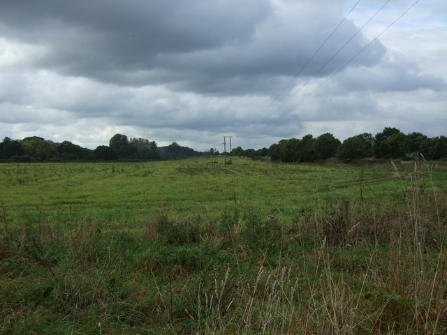
Buck Hills, located in Norfolk, is a picturesque wood and forest area that covers a sprawling expanse of land. Nestled amidst the scenic beauty of the Norfolk countryside, Buck Hills is a haven for nature lovers and outdoor enthusiasts alike. The woodland is characterized by its dense and diverse vegetation, comprising mainly of oak, beech, and chestnut trees, which create a rich and vibrant canopy.

The forest floor is carpeted with a variety of wildflowers, ferns, and moss, adding to its enchanting charm. Buck Hills is home to a diverse range of wildlife, including deer, rabbits, squirrels, and a myriad of bird species, making it an ideal destination for wildlife spotting and birdwatching.

Traversing through the woodlands, visitors will find a network of well-maintained trails, providing opportunities for leisurely strolls, peaceful hikes, and energizing runs. These trails wind through the forest, offering breathtaking views of the surrounding landscape and allowing visitors to immerse themselves in the tranquility of nature. Additionally, Buck Hills features several picnic spots, where families and friends can enjoy a meal amidst the serene and idyllic setting.

The forest is also a popular destination for educational visits and school trips, as it offers a unique learning experience about the local flora and fauna. Educational programs and guided tours are organized throughout the year, enabling visitors to gain a deeper understanding of the woodland ecosystem and its conservation efforts.

Overall, Buck Hills in Norfolk is a captivating wood and forest area, providing a sanctuary for both nature enthusiasts and those seeking solace in the serenity of the outdoors.

If you have any feedback on the listing, please let us know in the comments section below.
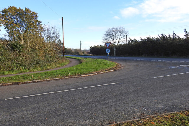
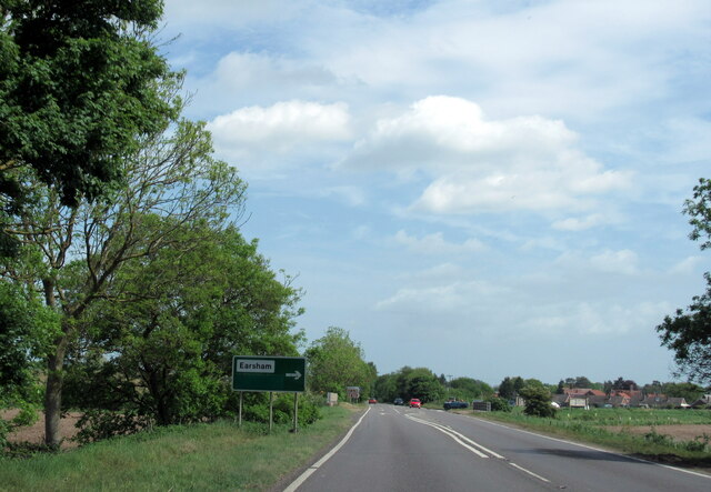
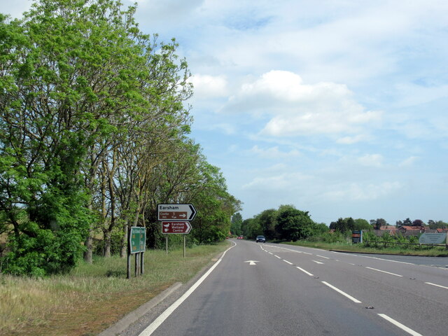
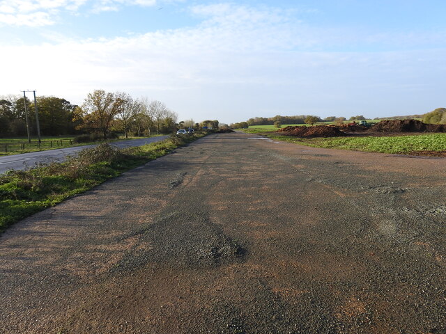
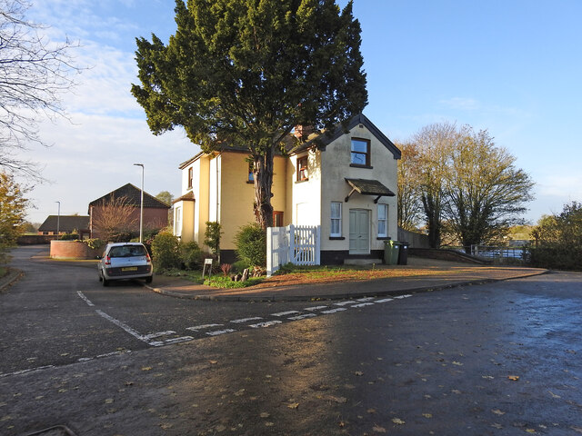
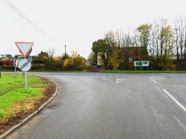
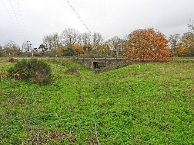
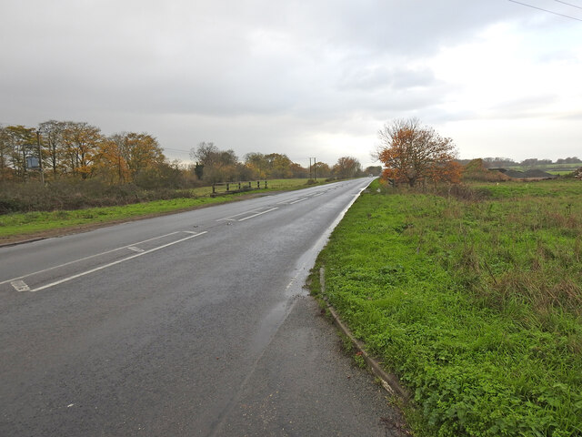
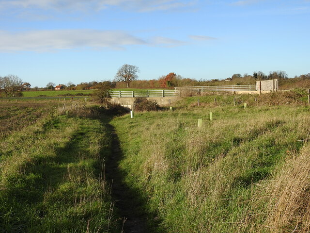
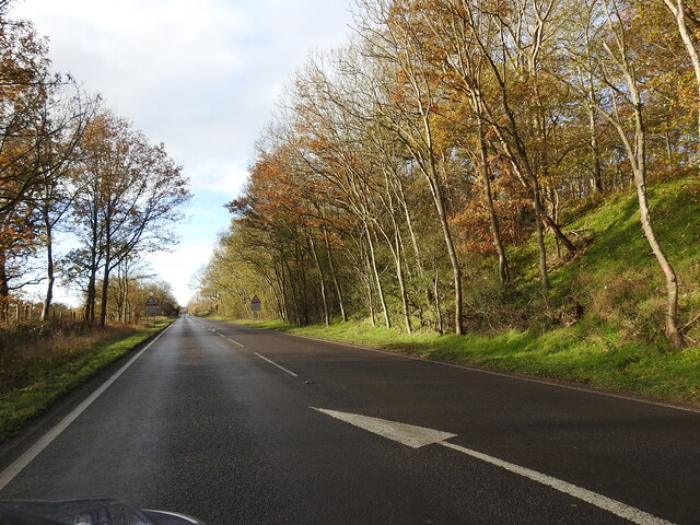
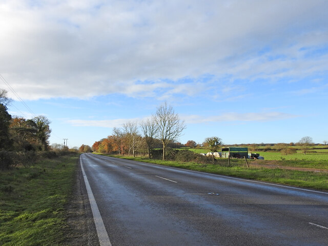
Buck Hills Images

Images are sourced within 2km of 52.439669/1.3955656 or Grid Reference TM3087. Thanks to Geograph Open Source API. All images are credited.

Site of the Denton Wash level crossing #58 The road was realigned into an 'Z' bend for the crossing as it was almost parallel with the planned alignment of the track. The layout of the new road has blocked access to the road on the other side and constructed a new access to Waveney Farm 120 yards further up the road.
Site of the Denton Wash level crossing #58
The road was realigned into an 'Z' bend for the crossing as it was almost parallel with the planned alignment of the track. The layout of the new road has blocked access to the road on the other side and constructed a new access to Waveney Farm 120 yards further up the road.
A143 east at turning for Earsham
Earsham turning on A143 east
Site of the WW2 munitions siding at Earsham This was the access road and the siding ran alongside, to the left of the concrete roadway. It was here that, during WW2, a siding of about 437 yards (400 metres) was constructed north of the track for munitions and other materials to be off-loaded onto trucks for delivery to the local airfields.  In the meantime many of the bombs were stored alongside roads nearby including Whitehouse and Hogg Lane and Denton Road. <a href="https://www.geograph.org.uk/photo/7354966">TM2990 : One of the eight similar hard-standings </a> It was a dispersed USAAF bomb storage facility that had its headquarters at Earsham Hall, which was requisitioned for the purpose. Many of the roadside hard standings remain extant to this day. During the time the siding was in existence more than 200,000 tons of freight, mainly bombs were delivered by 625 special trains.
Site of the WW2 munitions siding at Earsham
This was the access road and the siding ran alongside, to the left of the concrete roadway. It was here that, during WW2, a siding of about 437 yards (400 metres) was constructed north of the track for munitions and other materials to be off-loaded onto trucks for delivery to the local airfields. In the meantime many of the bombs were stored alongside roads nearby including Whitehouse and Hogg Lane and Denton Road. TM2990 : One of the eight similar hard-standings It was a dispersed USAAF bomb storage facility that had its headquarters at Earsham Hall, which was requisitioned for the purpose. Many of the roadside hard standings remain extant to this day. During the time the siding was in existence more than 200,000 tons of freight, mainly bombs were delivered by 625 special trains.
The former Earsham railway station house The old platform is still extant and the sloping end can be seen just in front of the trees.
From the outset Earsham Station was a passenger station and had no goods facilities. The single 310 feet long platform and a signal box were its only other assets, being only a mile west of Bungay additional works were deemed unwarranted. The station bisected Hall Road, the village end of which was thereafter known as Station Road with a level crossing on the Bungay side.
The former Earsham railway station house
The old platform is still extant and the sloping end can be seen just in front of the trees. From the outset Earsham Station was a passenger station and had no goods facilities. The single 310 feet long platform and a signal box were its only other assets, being only a mile west of Bungay additional works were deemed unwarranted. The station bisected Hall Road, the village end of which was thereafter known as Station Road with a level crossing on the Bungay side.
Site of the former level crossing at Earsham This side of the Hall Road has been realigned and widened, but the position of the gates were to the left of the former station between it and the telegraph pole.
The other side of what was Hall Road before it was bisected by the railway was renamed Station Road.
Site of the former level crossing at Earsham
This side of the Hall Road has been realigned and widened, but the position of the gates were to the left of the former station between it and the telegraph pole. The other side of what was Hall Road before it was bisected by the railway was renamed Station Road.
Remains of the 310 feet long station platform at Earsham This picture was taken as if standing on the former level crossing of the railway  which ran this side of the platform with the signal box out from the right side of the picture
Remains of the 310 feet long station platform at Earsham
This picture was taken as if standing on the former level crossing of the railway which ran this side of the platform with the signal box out from the right side of the picture
Underpass on the site of a former level crossing The Waveney Valley line had a level crossing (#61) where this road now passes over an underpass created for the farmer to access the land on the opposite side of the road.
Underpass on the site of a former level crossing
The Waveney Valley line had a level crossing (#61) where this road now passes over an underpass created for the farmer to access the land on the opposite side of the road.
A143 Old Railway Road past the munitions siding West (right) of the road was a loop siding which was installed in 1944 for materials and munitions to be offloaded for storage and onward delivery to the American Bomb Groups at the airfields in the vicinity for final delivery to Germany. A concrete roadway <a href="https://www.geograph.org.uk/photo/7355018">TM3087 : Site of the WW2 munitions siding at Earsham</a> stretched the length of the siding which was about 450 yards (411 metres).
The railings are the site of an underpass which was the location of the level crossing (#61) at Drakes Lane crossing.
A143 Old Railway Road past the munitions siding
West (right) of the road was a loop siding which was installed in 1944 for materials and munitions to be offloaded for storage and onward delivery to the American Bomb Groups at the airfields in the vicinity for final delivery to Germany. A concrete roadway TM3087 : Site of the WW2 munitions siding at Earsham stretched the length of the siding which was about 450 yards (411 metres). The railings are the site of an underpass which was the location of the level crossing (#61) at Drakes Lane crossing.
Underpass, the site of a former level crossing #63 The road alignment has been much altered but this was the site of the Five Acre Lane crossing. There is no sign of a gatekeepers cottage so it was the train crew who would have operated the gates. The gates were removed in 1954 while trains still ran on the line.
The old lane is now a footpath which follows the follows the same route as far as Pheasant's Walk.
Underpass, the site of a former level crossing #63
The road alignment has been much altered but this was the site of the Five Acre Lane crossing. There is no sign of a gatekeepers cottage so it was the train crew who would have operated the gates. The gates were removed in 1954 while trains still ran on the line. The old lane is now a footpath which follows the follows the same route as far as Pheasant's Walk.
The deep cutting at Buck Hills Plantation This was the deepest cutting on the line as it passed by the plantation. It was about 200 yards long, gradually petering out at each end.
The deep cutting at Buck Hills Plantation
This was the deepest cutting on the line as it passed by the plantation. It was about 200 yards long, gradually petering out at each end.
The location of the turnout into Earsham munitions siding The siding a turnout from the down-line was installed early in 1944 for offloading and further distribution of bombs and other munitions and materials to local airfields. In it's short history it received 625 special trains delivering 21,000 wagons, carrying a total of 200,000 tons of bombs and other freight. After unloading bombs were stored at various specified "dumps" beside local roads and in cleared woodland before distribution. see <a href="https://www.geograph.org.uk/photo/1899246">TM3089 : Concrete platform</a> Contemporary maps show it as a siding and not a loop as it is sometimes referred to.  I leave the question open for positive confirmation.
The location of the turnout into Earsham munitions siding
The siding a turnout from the down-line was installed early in 1944 for offloading and further distribution of bombs and other munitions and materials to local airfields. In it's short history it received 625 special trains delivering 21,000 wagons, carrying a total of 200,000 tons of bombs and other freight. After unloading bombs were stored at various specified "dumps" beside local roads and in cleared woodland before distribution. see TM3089 : Concrete platform Contemporary maps show it as a siding and not a loop as it is sometimes referred to. I leave the question open for positive confirmation.
The Queens Head, Earsham
Sign for the Queens Head, Earsham
Minor road, Earsham Looking south west.
Minor road, Earsham
Looking south west.
Farmland beside the A143 near Earsham
Minor road junction with the A143 near Earsham
A143 towards Harleston Looking south west near Earsham.
A143 towards Harleston
Looking south west near Earsham.
Show me another place!

Buck Hills is located at Grid Ref: TM3087 (Lat: 52.439669, Lng: 1.3955656)

Administrative County: Norfolk

District: South Norfolk

Police Authority: Norfolk

What 3 Words

///condiment.stun.revamped. Near Bungay, Suffolk

Related Wikis

Flixton, The Saints

Flixton is a village and civil parish located in the north of the English county of Suffolk. It is around 2 miles (3.2 km) south-west of Bungay in the...

RAF Bungay

Royal Air Force Bungay or more simply RAF Bungay (known locally as Flixton) is a former Royal Air Force station located 3 miles (4.8 km) south-west of...

Flixton Priory

Flixton Priory was a nunnery under a prioress following the Augustinian rule, which formerly stood in the parish of Flixton in the north of the English...

Earsham railway station

Earsham was a railway station in Earsham, Norfolk, England. It was located on the Waveney Valley Line which connected Beccles with the Great Eastern Main...

Nearby Amenities

Located within 500m of 52.439669,1.3955656
Power: pole
Lat/Long: 52.4406902/1.3958337
Power: pole
Lat/Long: 52.4413589/1.3973196
Power: pole
Lat/Long: 52.4421184/1.3958348
Power: pole
Lat/Long: 52.441775/1.3966142
Power: pole
Lat/Long: 52.4417244/1.3980304
Power: pole
Transformer: distribution
Lat/Long: 52.4417072/1.3978386
Power: pole
Lat/Long: 52.4420538/1.3996839
Power: pole
Lat/Long: 52.4425247/1.4007971
Power: pole
Lat/Long: 52.4426333/1.3945539
Power: pole
Lat/Long: 52.4431346/1.3932932
The data included in this document is from www.openstreetmap.org. The data is made available under ODbL.

Have you been to Buck Hills?

Leave your review of Buck Hills below (or comments, questions and feedback).