Cartwright's Plantation

Wood, Forest in Suffolk East Suffolk

England

Cartwright's Plantation

A143 east at turning for Alburgh
A143 east at turning for Alburgh Credit: Roy Hughes

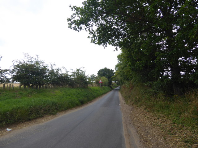
Cartwright's Plantation, located in Suffolk, is a sprawling woodland area that encompasses a vast expanse of lush greenery and diverse flora. The plantation spans over several acres, providing a haven for nature enthusiasts and outdoor enthusiasts alike. It is a well-preserved woodland, with a significant portion of it designated as a forest reserve.

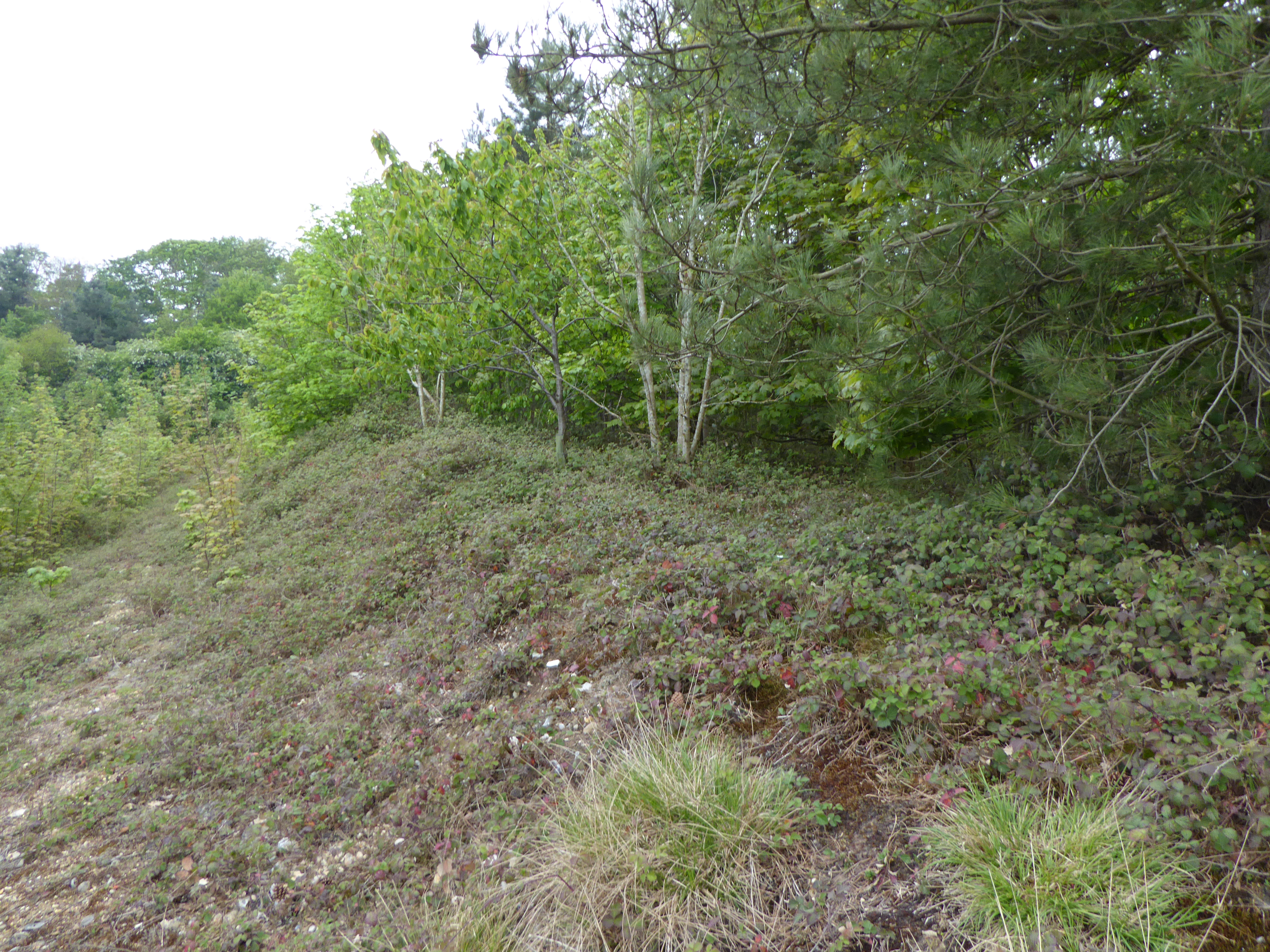
The plantation is known for its picturesque beauty, offering a peaceful retreat from the bustling city life. Tall, majestic trees dominate the landscape, creating a dense canopy that provides shade and shelter to various species of birds and animals. The woodland is home to a wide range of plant species, including oak, ash, maple, and pine trees, which contribute to the plantation's unique ecosystem.

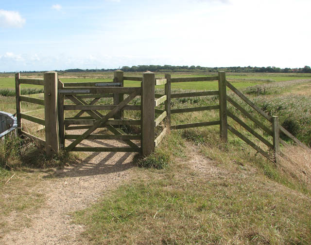
Visitors to Cartwright's Plantation can explore its numerous trails and footpaths, which offer an opportunity to immerse oneself in the serene surroundings. These paths wind through the woodland, offering breathtaking views of the flora and fauna that thrive within. The plantation also features picnic areas and designated camping spots, allowing visitors to fully enjoy the tranquil atmosphere and make the most of their outdoor experience.

The plantation is also an ideal spot for wildlife enthusiasts, as it is home to various animal species. Deer, rabbits, and squirrels are commonly spotted, while rarer sightings of foxes and badgers have been reported. Birdwatchers can delight in the diverse avian population, including woodpeckers, owls, and finches.

Cartwright's Plantation is not only a natural haven but also serves as an important habitat for a variety of species. Its preservation and maintenance ensure the continued existence of this beautiful woodland, providing a vital ecosystem for both flora and fauna.

If you have any feedback on the listing, please let us know in the comments section below.

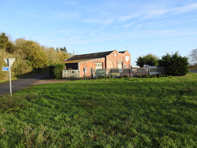
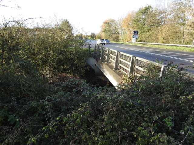
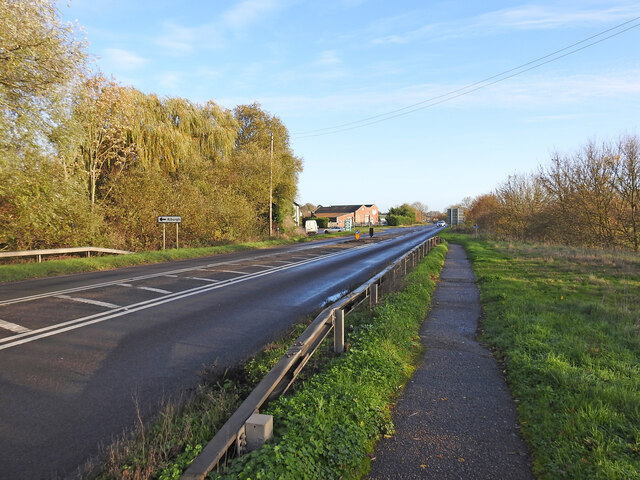
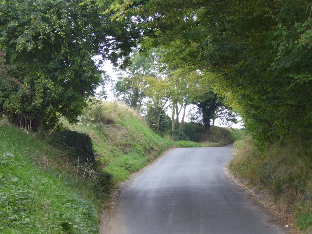
Cartwright's Plantation Images

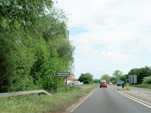
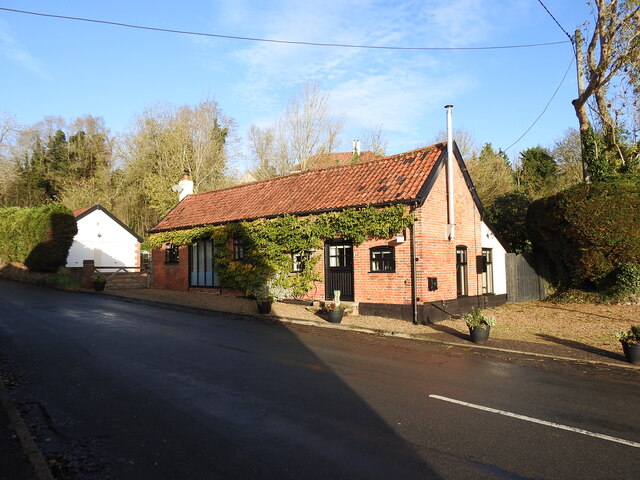
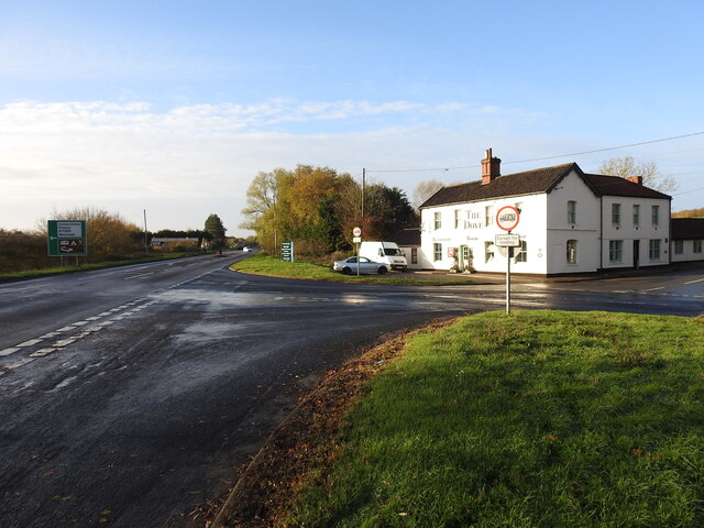
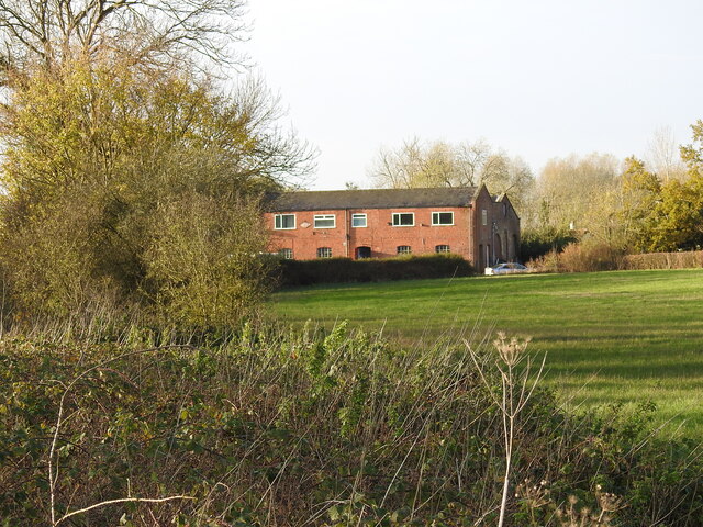
Images are sourced within 2km of 52.416127/1.3775307 or Grid Reference TM2985. Thanks to Geograph Open Source API. All images are credited.

A143 east at turning for Alburgh
The Old Armoury This is probably the Armoury belonging to Flixton Hall before the demise of the Hall.
((Adair of Ballymena Castle and Flixton Hall, baronets)
"During the Second World War he sold the contents of the armoury at Flixton Hall to support the war effort; they are now in the Powder Magazine and the Governor’s Palace at Colonial Williamsburg (USA).")
<span class="nowrap"><a title="https://www.facebook.com/ArtMuseumsofCWF/posts/we-love-to-share-collection-connections-this-magnificent-fan-of-21-infantry-swor/1358477954307042/" rel="nofollow ugc noopener" href="https://www.facebook.com/ArtMuseumsofCWF/posts/we-love-to-share-collection-connections-this-magnificent-fan-of-21-infantry-swor/1358477954307042/">Link</a><img style="margin-left:2px;" alt="External link" title="External link - shift click to open in new window" src="https://s1.geograph.org.uk/img/external.png" width="10" height="10"/></span>
The Old Armoury
This is probably the Armoury belonging to Flixton Hall before the demise of the Hall. ((Adair of Ballymena Castle and Flixton Hall, baronets) "During the Second World War he sold the contents of the armoury at Flixton Hall to support the war effort; they are now in the Powder Magazine and the Governor’s Palace at Colonial Williamsburg (USA).") LinkExternal link
The site of the former Station House at Homersfield Homersfield station was just under 9 miles from Tivetshall and 10 from Beccles, about midway. The platform was rebuilt in 1912 after serious flooding caused much damage. The station had all the usual facilities, with the station master's accommodation on the upper floor. The goods yard has two sidings to a cattle pen and a turntable with three short spur sidings with a connection to a large goods shed and adjoining grain store, which remains extant and in use as a vehicle repair facility.
During WW2 the station served as the rail-link for the nearby USAAF Hardwick airfield.
The site of the former Station House at Homersfield
Homersfield station was just under 9 miles from Tivetshall and 10 from Beccles, about midway. The platform was rebuilt in 1912 after serious flooding caused much damage. The station had all the usual facilities, with the station master's accommodation on the upper floor. The goods yard has two sidings to a cattle pen and a turntable with three short spur sidings with a connection to a large goods shed and adjoining grain store, which remains extant and in use as a vehicle repair facility. During WW2 the station served as the rail-link for the nearby USAAF Hardwick airfield.
Homersfield goods shed from the former track Homersfield goods shed had an adjoining grain store attached in 1898 and the building is still in use today as a vehicle repair facility.
Homersfield goods shed from the former track
Homersfield goods shed had an adjoining grain store attached in 1898 and the building is still in use today as a vehicle repair facility.
The site of the former goods yard at Homersfield The goods yard has two sidings to a cattle pen and a turntable (centre - right of the picture near the tree) with three short spur sidings with a connection to a large goods shed and adjoining grain store added in 1898. The building remains extant and in use as a vehicle repair facility.
The site of the former goods yard at Homersfield
The goods yard has two sidings to a cattle pen and a turntable (centre - right of the picture near the tree) with three short spur sidings with a connection to a large goods shed and adjoining grain store added in 1898. The building remains extant and in use as a vehicle repair facility.
The modern bridge over The Beck This modern bridge replaced the earlier 19th century railway bridge built for the Waveney Valley Railway.
The modern bridge over The Beck
This modern bridge replaced the earlier 19th century railway bridge built for the Waveney Valley Railway.
Site of Homersfield level crossing The crossing #48 was necessarily very wide as the line crossed the road diagonally, centred on where the bollards are located in the road. The crossing was encountered about 90 yards after leaving Homersfield station. and just another 40 yards from the bridge over The Beck.
Site of Homersfield level crossing
The crossing #48 was necessarily very wide as the line crossed the road diagonally, centred on where the bollards are located in the road. The crossing was encountered about 90 yards after leaving Homersfield station. and just another 40 yards from the bridge over The Beck.
Homersfield, St Mary
Bridleway at St Cross Farm
Cottages at Homersfield These are right opposite the triangular green at the centre of the village.
Cottages at Homersfield
These are right opposite the triangular green at the centre of the village.
The village green at Homersfield The triangular green is right at the centre of the village.
The village green at Homersfield
The triangular green is right at the centre of the village.
Cottages at Homersfield These are seen from the triangular green at the centre of the village.
Cottages at Homersfield
These are seen from the triangular green at the centre of the village.
The village green at Homersfield The triangular green is right at the centre of the village.
The village green at Homersfield
The triangular green is right at the centre of the village.
Homersfield Village Sign Apparently, this fellow, his boat, and the fish beneath him are all carved from the trunk of a cedar from Blickling Hall, in North Norfolk.

The sculptor is Mark Goldsworthy, from nearby Bungay.
Homersfield Village Sign
Apparently, this fellow, his boat, and the fish beneath him are all carved from the trunk of a cedar from Blickling Hall, in North Norfolk. The sculptor is Mark Goldsworthy, from nearby Bungay.
Snowdrops - Homersfield Community Wood Early March walk - snowdrops in this community woodland, near the church
Snowdrops - Homersfield Community Wood
Early March walk - snowdrops in this community woodland, near the church
Rainbow over Waveney Valley meadows
St Cross Road St Cross Road leads from Homersfield to St Cross South Elmham.
St Cross Road
St Cross Road leads from Homersfield to St Cross South Elmham.
St Cross Road St Cross Road leads from Homersfield to St Cross South Elmham. This is just past the junction with Back Lane.
St Cross Road
St Cross Road leads from Homersfield to St Cross South Elmham. This is just past the junction with Back Lane.
Show me another place!

Cartwright's Plantation is located at Grid Ref: TM2985 (Lat: 52.416127, Lng: 1.3775307)

Administrative County: Suffolk

District: East Suffolk

Police Authority: Suffolk

What 3 Words

///slung.firewall.textiles. Near Harleston, Norfolk

Related Wikis

Angles Way

The Angles Way is a long-distance footpath in England, close to the River Waveney and River Little Ouse and thus close to the Norfolk/Suffolk border between...

Flixton Quarry

Flixton Quarry is a 0.7 hectares (1.7 acres) geological Site of Special Scientific Interest 3.75 miles (6.04 km) south-west of Bungay in the English county...

St Cross South Elmham

St Cross South Elmham is a village and civil parish in the north of the English county of Suffolk. It is in the East Suffolk district, close to the border...

Homersfield

Homersfield, also known as St Mary, South Elmham, is a village and civil parish in the north of the English county of Suffolk. It is in the East Suffolk...

Related Videos

Riding Solo 59 - The highs and the lows around East Anglia Aviation Heritage Museum

The day starts on a high but as I visit the aviation museum my mood comes tumbling down. This too shall pass #grief ...

Sherwood Kub takes the long way home from Shipmeadow PT2

The flexwing microlights and I fly to Priory Farm and then I return to Cromer but with a fair amount of ATC radio work. In this video, I ...

A visit to 446th Bomb Group USAAF Museum - Flixton 2023 [4K]

446th Bomb Group USAAF Museum at the Norfolk & Suffolk Aviation Museum, Flixton including footage from Pima air museum in ...

Ride into the danger zone, lol

Celebrating the New Top Gun movie out now #optionaldaveuk #topgun #dangerzone #vids #maverick #films #tribute ...

Nearby Amenities

Located within 500m of 52.416127,1.3775307
Home Farm
Place: farm
Source: NLS-OS-1st_Series
Lat/Long: 52.4198279/1.3811853
The data included in this document is from www.openstreetmap.org. The data is made available under ODbL.

Have you been to Cartwright's Plantation?

Leave your review of Cartwright's Plantation below (or comments, questions and feedback).