Cartwright's Covert

Wood, Forest in Suffolk East Suffolk

England

Cartwright's Covert

A143 east at turning for Alburgh
A143 east at turning for Alburgh Credit: Roy Hughes

Cartwright's Covert is a charming woodland located in Suffolk, England. Situated in the heart of the countryside, the covert is a captivating haven for nature enthusiasts and those seeking a tranquil retreat. Covering an area of approximately 50 acres, the woodland is renowned for its diverse ecosystem and captivating beauty.

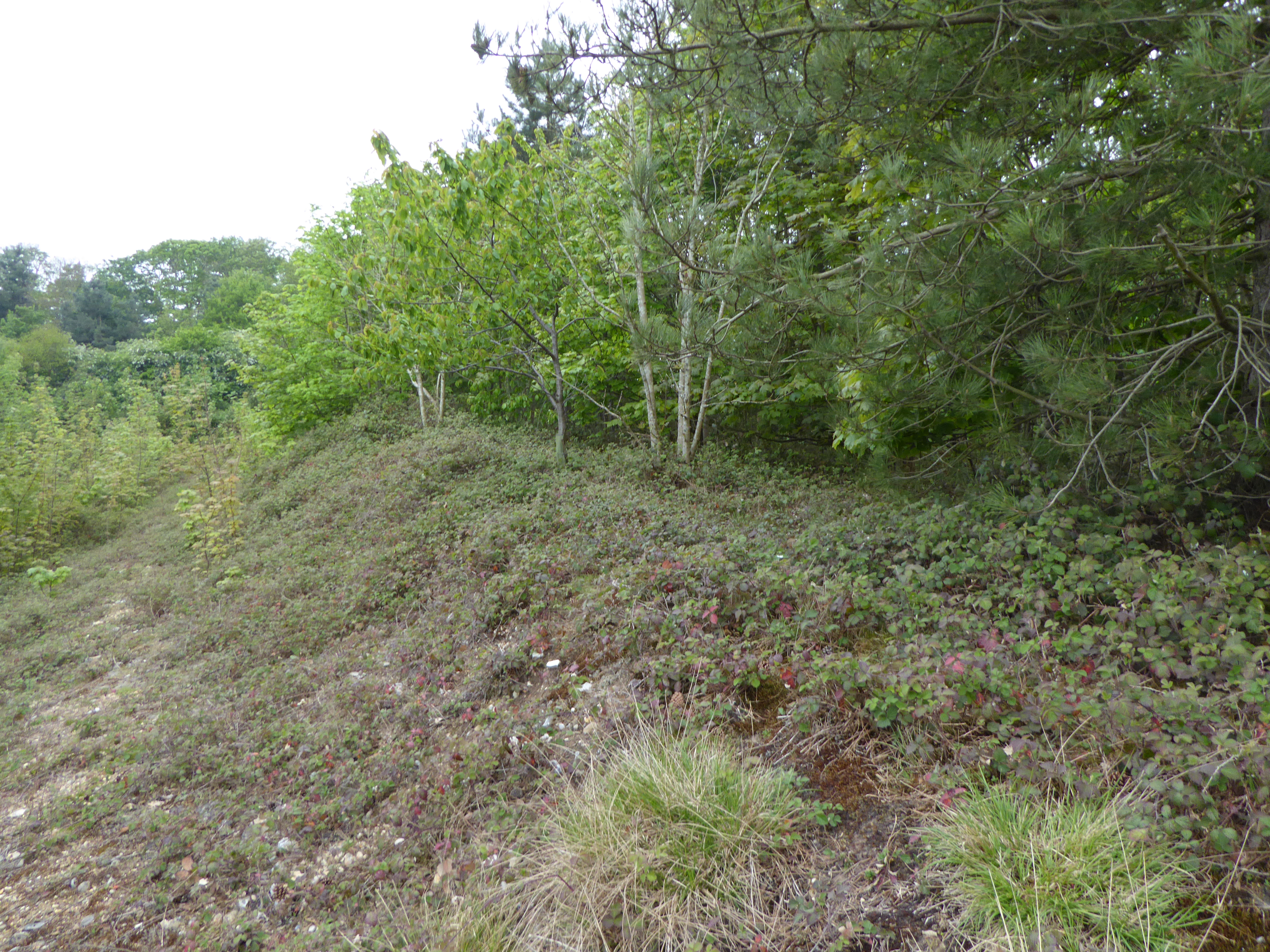
As visitors explore Cartwright's Covert, they are greeted by a dense canopy of ancient oak and beech trees, creating a picturesque landscape. The forest floor is adorned with a vibrant carpet of bluebells, wildflowers, and ferns, adding to the enchanting ambiance of the covert. The air is filled with the sweet fragrance of the surrounding flora, creating a sensory experience like no other.

The woodland is home to an array of wildlife, making it a haven for nature lovers and birdwatchers. Visitors may catch glimpses of red squirrels, deer, foxes, and a variety of bird species, including woodpeckers and owls. The diverse range of habitats within the covert provides a sanctuary for these creatures, ensuring their protection and survival.

Cartwright's Covert offers a range of recreational opportunities for visitors. Well-maintained walking trails wind through the woodland, allowing visitors to immerse themselves in the natural splendor and explore the area at their leisure. Picnic areas are scattered throughout the covert, providing the perfect spot to relax and enjoy the serenity of the surroundings.

Overall, Cartwright's Covert is a captivating woodland retreat in Suffolk, offering a unique blend of natural beauty, diverse wildlife, and recreational activities. Whether visitors seek solitude, adventure, or simply a connection with nature, this enchanting woodland provides an unforgettable experience for all who venture within its boundaries.

If you have any feedback on the listing, please let us know in the comments section below.

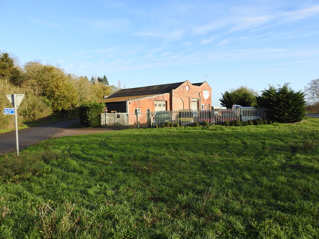
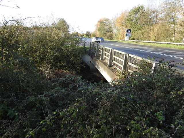
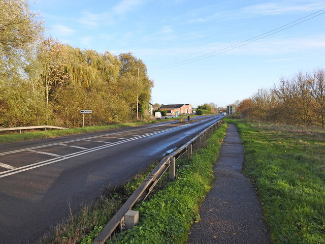
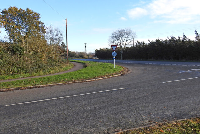
Cartwright's Covert Images

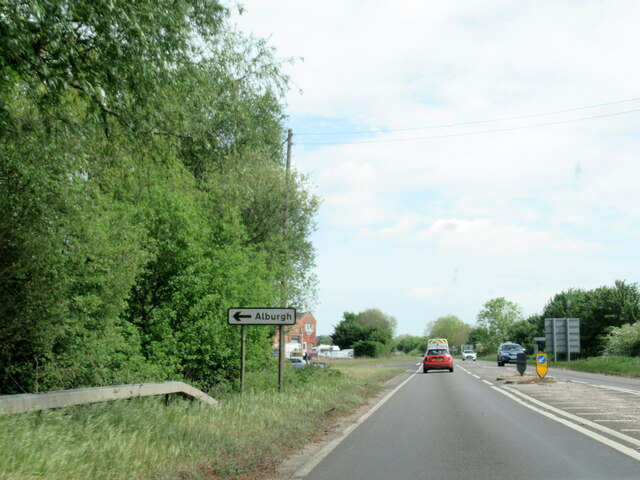
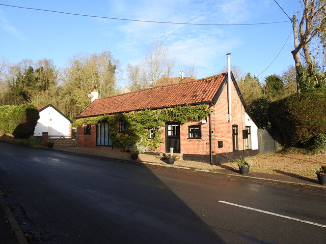
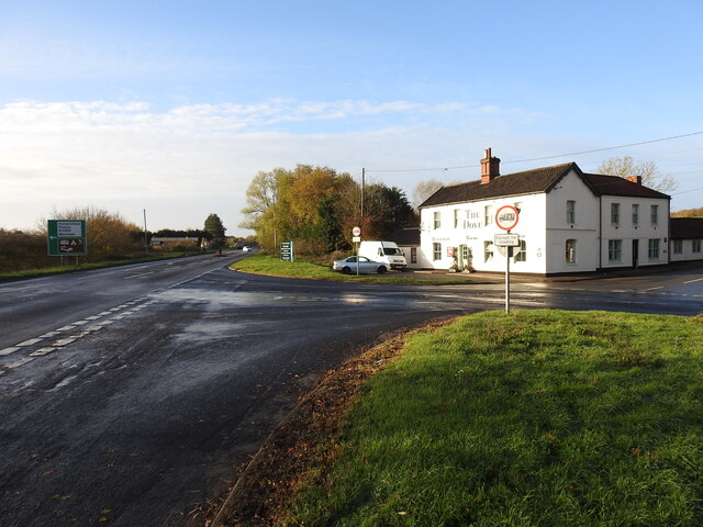
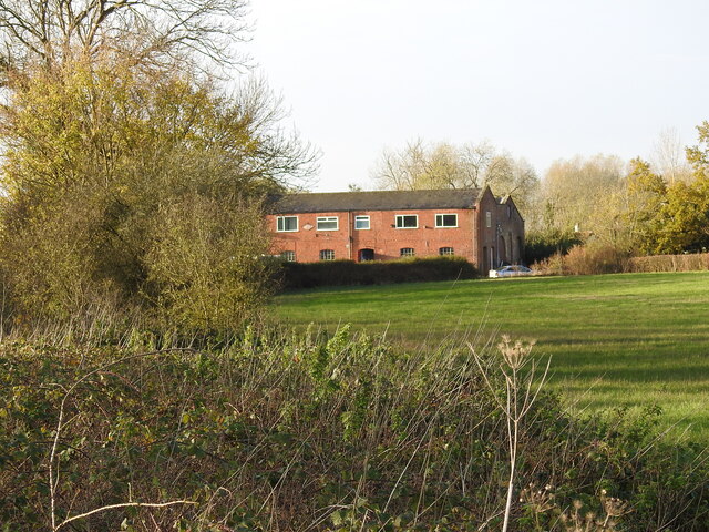
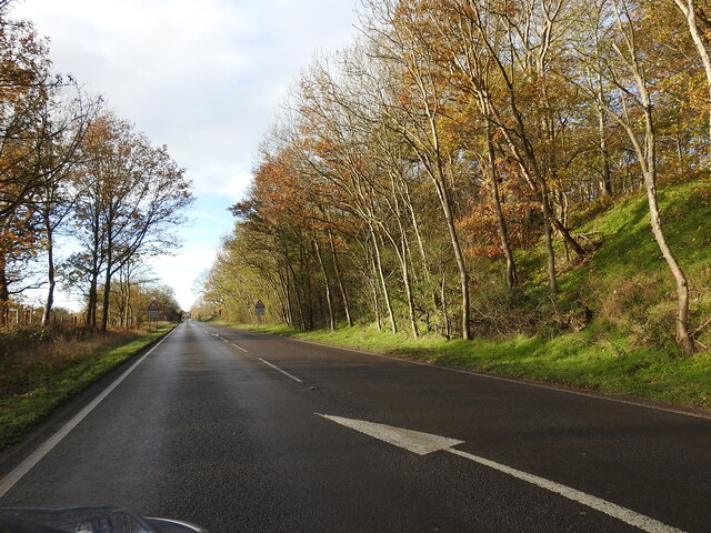
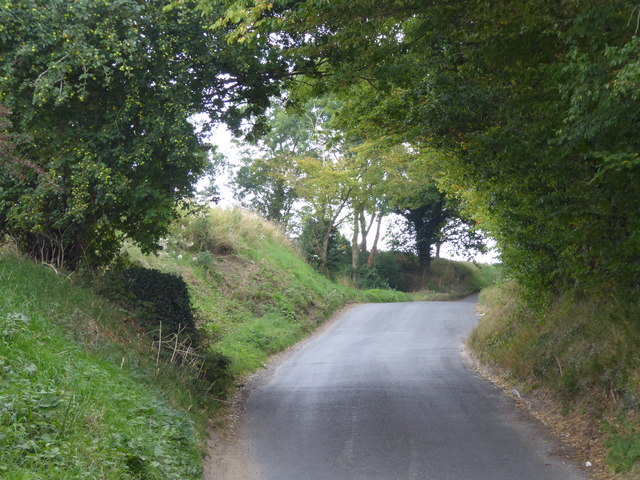
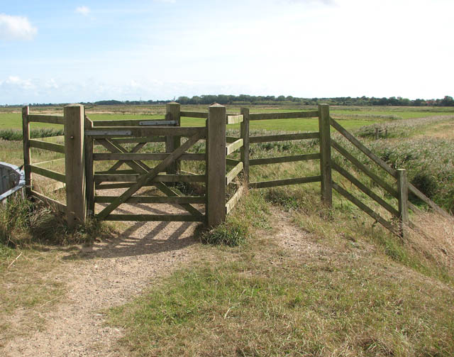
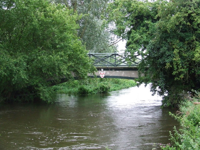
Images are sourced within 2km of 52.420857/1.3775688 or Grid Reference TM2985. Thanks to Geograph Open Source API. All images are credited.

A143 east at turning for Alburgh
The Old Armoury This is probably the Armoury belonging to Flixton Hall before the demise of the Hall.
((Adair of Ballymena Castle and Flixton Hall, baronets)
"During the Second World War he sold the contents of the armoury at Flixton Hall to support the war effort; they are now in the Powder Magazine and the Governor’s Palace at Colonial Williamsburg (USA).")
<span class="nowrap"><a title="https://www.facebook.com/ArtMuseumsofCWF/posts/we-love-to-share-collection-connections-this-magnificent-fan-of-21-infantry-swor/1358477954307042/" rel="nofollow ugc noopener" href="https://www.facebook.com/ArtMuseumsofCWF/posts/we-love-to-share-collection-connections-this-magnificent-fan-of-21-infantry-swor/1358477954307042/">Link</a><img style="margin-left:2px;" alt="External link" title="External link - shift click to open in new window" src="https://s1.geograph.org.uk/img/external.png" width="10" height="10"/></span>
The Old Armoury
This is probably the Armoury belonging to Flixton Hall before the demise of the Hall. ((Adair of Ballymena Castle and Flixton Hall, baronets) "During the Second World War he sold the contents of the armoury at Flixton Hall to support the war effort; they are now in the Powder Magazine and the Governor’s Palace at Colonial Williamsburg (USA).") LinkExternal link
The site of the former Station House at Homersfield Homersfield station was just under 9 miles from Tivetshall and 10 from Beccles, about midway. The platform was rebuilt in 1912 after serious flooding caused much damage. The station had all the usual facilities, with the station master's accommodation on the upper floor. The goods yard has two sidings to a cattle pen and a turntable with three short spur sidings with a connection to a large goods shed and adjoining grain store, which remains extant and in use as a vehicle repair facility.
During WW2 the station served as the rail-link for the nearby USAAF Hardwick airfield.
The site of the former Station House at Homersfield
Homersfield station was just under 9 miles from Tivetshall and 10 from Beccles, about midway. The platform was rebuilt in 1912 after serious flooding caused much damage. The station had all the usual facilities, with the station master's accommodation on the upper floor. The goods yard has two sidings to a cattle pen and a turntable with three short spur sidings with a connection to a large goods shed and adjoining grain store, which remains extant and in use as a vehicle repair facility. During WW2 the station served as the rail-link for the nearby USAAF Hardwick airfield.
Homersfield goods shed from the former track Homersfield goods shed had an adjoining grain store attached in 1898 and the building is still in use today as a vehicle repair facility.
Homersfield goods shed from the former track
Homersfield goods shed had an adjoining grain store attached in 1898 and the building is still in use today as a vehicle repair facility.
The site of the former goods yard at Homersfield The goods yard has two sidings to a cattle pen and a turntable (centre - right of the picture near the tree) with three short spur sidings with a connection to a large goods shed and adjoining grain store added in 1898. The building remains extant and in use as a vehicle repair facility.
The site of the former goods yard at Homersfield
The goods yard has two sidings to a cattle pen and a turntable (centre - right of the picture near the tree) with three short spur sidings with a connection to a large goods shed and adjoining grain store added in 1898. The building remains extant and in use as a vehicle repair facility.
The modern bridge over The Beck This modern bridge replaced the earlier 19th century railway bridge built for the Waveney Valley Railway.
The modern bridge over The Beck
This modern bridge replaced the earlier 19th century railway bridge built for the Waveney Valley Railway.
Site of Homersfield level crossing The crossing #48 was necessarily very wide as the line crossed the road diagonally, centred on where the bollards are located in the road. The crossing was encountered about 90 yards after leaving Homersfield station. and just another 40 yards from the bridge over The Beck.
Site of Homersfield level crossing
The crossing #48 was necessarily very wide as the line crossed the road diagonally, centred on where the bollards are located in the road. The crossing was encountered about 90 yards after leaving Homersfield station. and just another 40 yards from the bridge over The Beck.
Site of the Denton Wash level crossing #58 The road was realigned into an 'Z' bend for the crossing as it was almost parallel with the planned alignment of the track. The layout of the new road has blocked access to the road on the other side and constructed a new access to Waveney Farm 120 yards further up the road.
Site of the Denton Wash level crossing #58
The road was realigned into an 'Z' bend for the crossing as it was almost parallel with the planned alignment of the track. The layout of the new road has blocked access to the road on the other side and constructed a new access to Waveney Farm 120 yards further up the road.
Homersfield, St Mary
The deep cutting at Buck Hills Plantation This was the deepest cutting on the line as it passed by the plantation. It was about 200 yards long, gradually petering out at each end.
The deep cutting at Buck Hills Plantation
This was the deepest cutting on the line as it passed by the plantation. It was about 200 yards long, gradually petering out at each end.
Cottages at Homersfield These are right opposite the triangular green at the centre of the village.
Cottages at Homersfield
These are right opposite the triangular green at the centre of the village.
The village green at Homersfield The triangular green is right at the centre of the village.
The village green at Homersfield
The triangular green is right at the centre of the village.
Cottages at Homersfield These are seen from the triangular green at the centre of the village.
Cottages at Homersfield
These are seen from the triangular green at the centre of the village.
The village green at Homersfield The triangular green is right at the centre of the village.
The village green at Homersfield
The triangular green is right at the centre of the village.
Homersfield Village Sign Apparently, this fellow, his boat, and the fish beneath him are all carved from the trunk of a cedar from Blickling Hall, in North Norfolk.

The sculptor is Mark Goldsworthy, from nearby Bungay.
Homersfield Village Sign
Apparently, this fellow, his boat, and the fish beneath him are all carved from the trunk of a cedar from Blickling Hall, in North Norfolk. The sculptor is Mark Goldsworthy, from nearby Bungay.
Snowdrops - Homersfield Community Wood Early March walk - snowdrops in this community woodland, near the church
Snowdrops - Homersfield Community Wood
Early March walk - snowdrops in this community woodland, near the church
Rainbow over Waveney Valley meadows
St Cross Road St Cross Road leads from Homersfield to St Cross South Elmham.
St Cross Road
St Cross Road leads from Homersfield to St Cross South Elmham.
Show me another place!

Cartwright's Covert is located at Grid Ref: TM2985 (Lat: 52.420857, Lng: 1.3775688)

Administrative County: Suffolk

District: East Suffolk

Police Authority: Suffolk

What 3 Words

///paper.barn.stag. Near Bungay, Suffolk

Related Wikis

Angles Way

The Angles Way is a long-distance footpath in England, close to the River Waveney and River Little Ouse and thus close to the Norfolk/Suffolk border between...

Flixton Quarry

Flixton Quarry is a 0.7 hectares (1.7 acres) geological Site of Special Scientific Interest 3.75 miles (6.04 km) south-west of Bungay in the English county...

Homersfield

Homersfield, also known as St Mary, South Elmham, is a village and civil parish in the north of the English county of Suffolk. It is in the East Suffolk...

Homersfield Bridge

Homersfield Bridge is a road bridge across the River Waveney between Norfolk and Suffolk, and stands partly in the civil parishes of Alburgh and Wortwell...

Nearby Amenities

Located within 500m of 52.420857,1.3775688
Home Farm
Place: farm
Source: NLS-OS-1st_Series
Lat/Long: 52.4198279/1.3811853
The data included in this document is from www.openstreetmap.org. The data is made available under ODbL.

Have you been to Cartwright's Covert?

Leave your review of Cartwright's Covert below (or comments, questions and feedback).