The Grove
Wood, Forest in Norfolk North Norfolk
England
The Grove
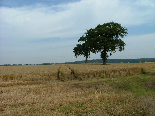
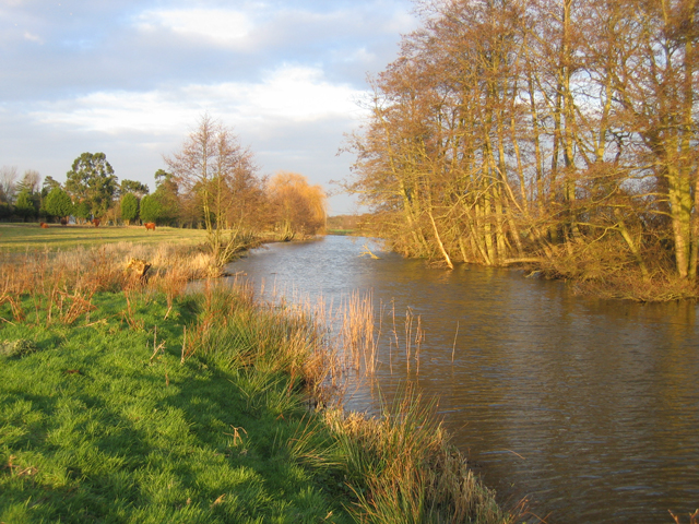
The Grove, Norfolk, located in the eastern part of England, is a picturesque woodland area known for its natural beauty and tranquil surroundings. Spread across a vast expanse, The Grove is a haven for nature enthusiasts, hikers, and those seeking solace in the midst of lush greenery.
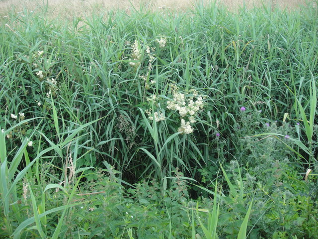
This woodland paradise is characterized by its diverse range of trees, including oak, beech, and pine, which create a dense canopy overhead, providing shade and shelter for a multitude of flora and fauna. The forest floor is adorned with a carpet of wildflowers, adding a splash of color to the landscape throughout the seasons.
The Grove offers a myriad of recreational activities for visitors to enjoy. Its extensive network of well-marked trails allows for hiking and walking, with options for all levels of fitness. The more adventurous can explore off the beaten path and discover hidden gems within the forest.
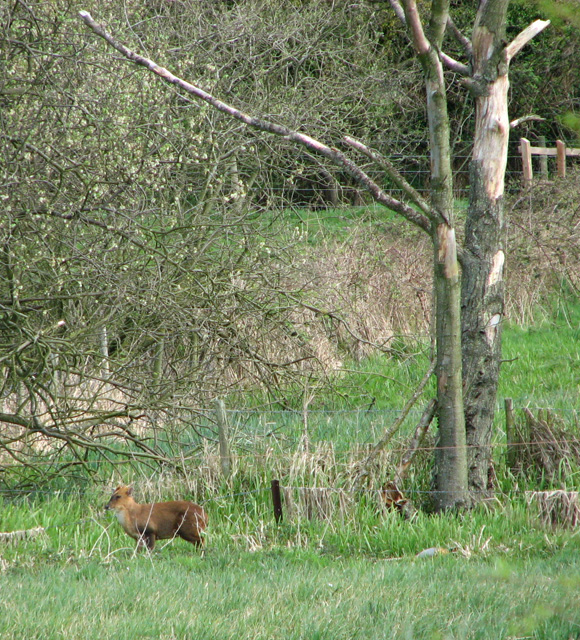
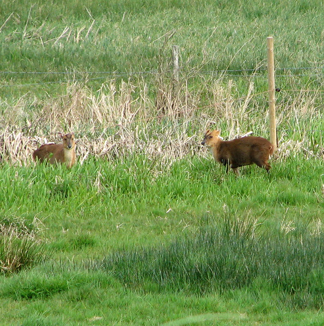
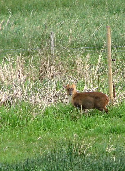
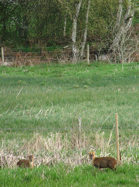
Wildlife enthusiasts will be delighted by the abundance of animals that call The Grove home. Deer, squirrels, and rabbits can often be spotted darting through the undergrowth, while a variety of bird species soar above the treetops, including woodpeckers and owls. It is not uncommon for birdwatchers to catch a glimpse of rare and migratory species.
For those seeking a peaceful escape from the hustle and bustle of everyday life, The Grove offers several secluded picnic spots and camping areas, allowing visitors to immerse themselves in the serenity of nature. The sounds of rustling leaves and the gentle trickling of nearby streams create a soothing ambiance that is perfect for relaxation and contemplation.
In conclusion, The Grove in Norfolk is a magnificent woodland destination that offers a harmonious blend of natural beauty, recreational opportunities, and a respite from the chaos of urban life. Whether it's a leisurely walk, wildlife observation, or simply basking in the tranquility of the forest, The Grove provides an enchanting experience for all who venture into its depths.
If you have any feedback on the listing, please let us know in the comments section below.
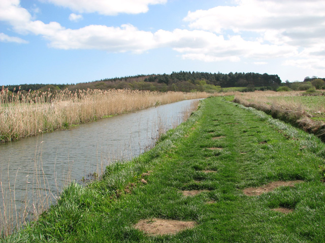
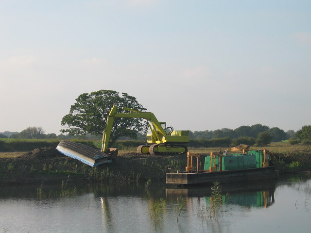
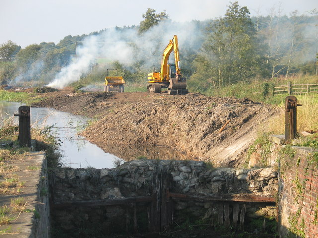
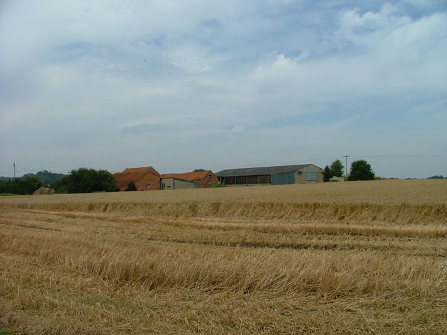
The Grove Images
Images are sourced within 2km of 52.815877/1.406123 or Grid Reference TG2929. Thanks to Geograph Open Source API. All images are credited.


The Grove is located at Grid Ref: TG2929 (Lat: 52.815877, Lng: 1.406123)
Administrative County: Norfolk
District: North Norfolk
Police Authority: Norfolk
What 3 Words
///pairings.activates.etchings. Near North Walsham, Norfolk
Nearby Locations
Related Wikis
North Walsham High School
North Walsham High School is a co-educational secondary school located in North Walsham in the English county of Norfolk. On the same site there is the...
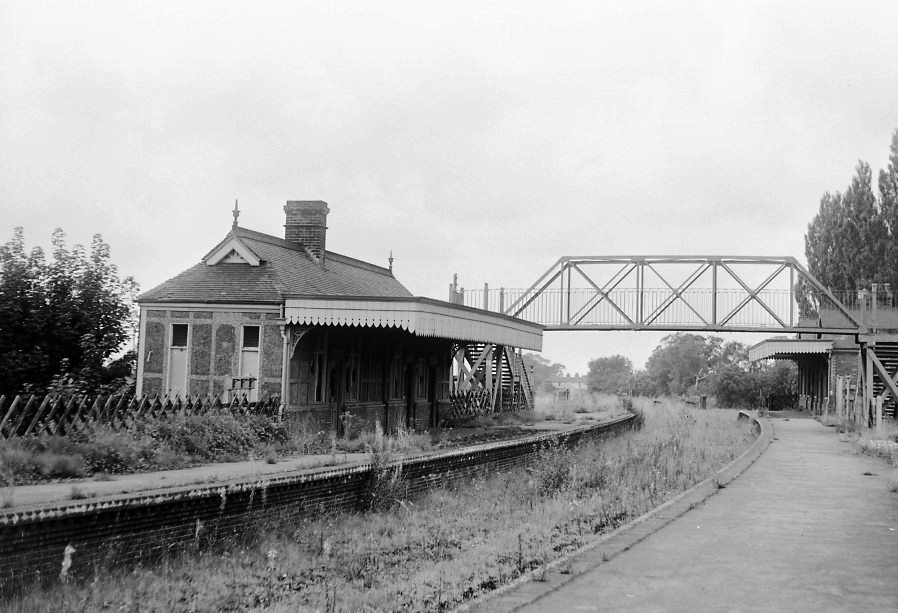
North Walsham Town railway station
North Walsham Town railway station was a station in North Walsham, Norfolk. It served the now closed Midland and Great Northern Joint Railway lines to...

St Nicholas Church, North Walsham
St Nicholas Church is a parish church in the Church of England in the centre of the Norfolk town of North Walsham. The building is a well known landmark...

Paston College
Paston College (previously Paston Sixth Form College) is a sixth form college located in the town of North Walsham, Norfolk. The college has been part...

North Walsham railway station
North Walsham railway station (formerly known as North Walsham Main) is on the Bittern Line in Norfolk, England, serving the town of North Walsham. It...

North Walsham
North Walsham is a market town and civil parish in Norfolk, England, within the North Norfolk district. The town is located 8 mi (13 km) south of Cromer...
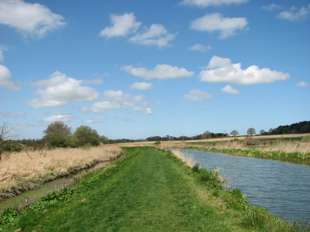
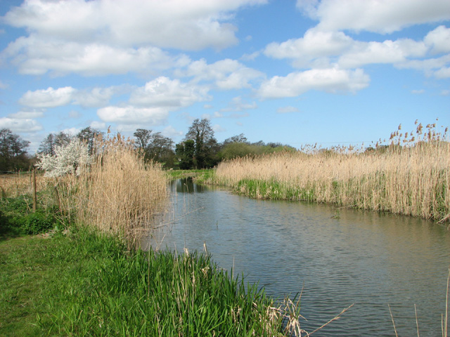
North Walsham & Dilham Canal
The North Walsham and Dilham Canal is a waterway in the English county of Norfolk. It was authorised by Parliament in 1812, but work on the construction...

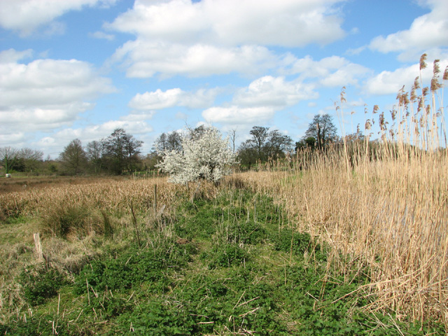
Pigneys Wood
Pigneys Wood or Pigney's Wood is a 20.9-hectare (52-acre) Local Nature Reserve north of North Walsham in Norfolk. It was formerly owned by the North Norfolk...
Nearby Amenities
Located within 500m of 52.815877,1.406123Have you been to The Grove?
Leave your review of The Grove below (or comments, questions and feedback).