Frizzeler's Green
Settlement in Suffolk West Suffolk
England
Frizzeler's Green
Frizzeler's Green is a charming village located in the county of Suffolk, England. Situated amidst picturesque countryside, this small and idyllic settlement is known for its serene and peaceful atmosphere. With a population of around 300 residents, Frizzeler's Green offers a tight-knit community feel where locals take pride in their close relationships and sense of belonging.
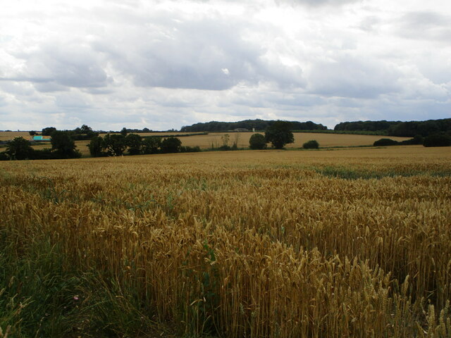
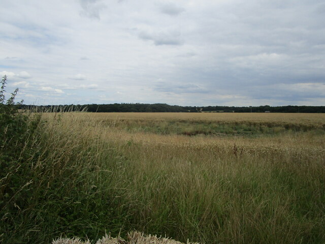
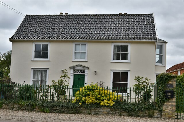
The village features a traditional rural English landscape, characterized by rolling hills, lush green fields, and meandering streams. The area is dotted with quaint cottages and historic buildings, providing a glimpse into the region's rich heritage. The architecture reflects a blend of traditional Suffolk styles, with timber-framed houses and thatched roofs that add to the village's old-world charm.
Frizzeler's Green is also renowned for its natural beauty, serving as a gateway to several outdoor recreational activities. Surrounding the village, there are numerous walking and cycling trails that allow visitors to explore the stunning countryside. The nearby Frizzeler's Green Nature Reserve offers a haven for wildlife enthusiasts, with its diverse range of flora and fauna.
Despite its small size, Frizzeler's Green boasts a strong community spirit, evident through various local events and gatherings. The village pub serves as a central meeting point, where residents and visitors can come together to enjoy hearty meals and engage in friendly conversations.
Overall, Frizzeler's Green is a quintessential English village that offers a peaceful retreat from the hustle and bustle of city life. Its scenic beauty, historic charm, and close-knit community make it a hidden gem in the Suffolk countryside.
If you have any feedback on the listing, please let us know in the comments section below.
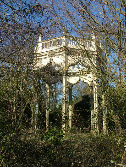
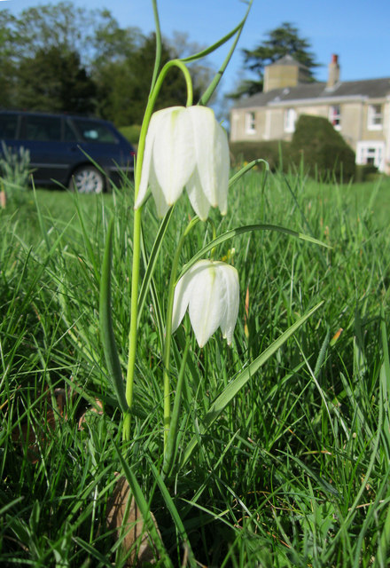
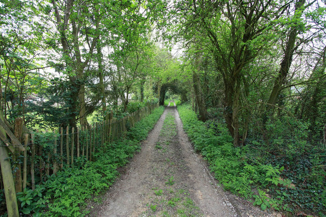
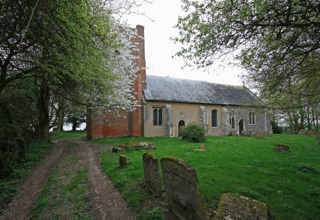
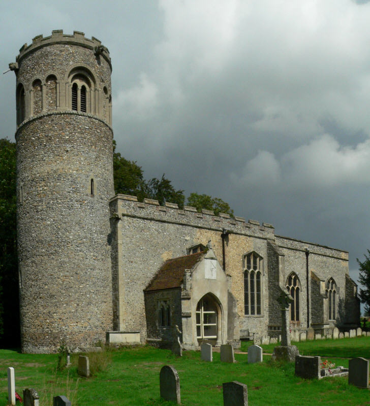
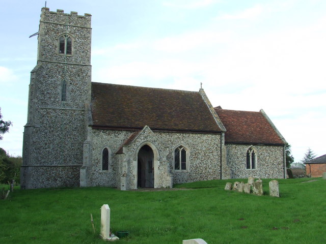
Frizzeler's Green Images
Images are sourced within 2km of 52.227431/0.60479665 or Grid Reference TL7862. Thanks to Geograph Open Source API. All images are credited.


Frizzeler's Green is located at Grid Ref: TL7862 (Lat: 52.227431, Lng: 0.60479665)
Administrative County: Suffolk
District: West Suffolk
Police Authority: Suffolk
What 3 Words
///overhear.helpless.insist. Near Bury St Edmunds, Suffolk
Nearby Locations
Related Wikis

Great Saxham
Great Saxham is a village and former civil parish, now in the parish of The Saxhams, in the West Suffolk district, in the county of Suffolk, England. The...

Saxham Hall
Great Saxham Hall is a two-storey Palladian house situated at Great Saxham, just outside Bury St Edmunds in Suffolk, England. It is a Grade II* listed...
Little Saxham
Little Saxham is a village and former civil parish, now in the parish of The Saxhams, in the West Suffolk district, in the county of Suffolk, England....

Barrow, Suffolk
Barrow is a village and civil parish in the West Suffolk district of Suffolk, England, about eight miles west of Bury St Edmunds. According to Eilert Ekwall...

Thingoe Rural District
Thingoe Rural District was a rural district in the county of West Suffolk, England between 1894 and 1974. It was named after the ancient Hundred of Thingoe...
The Saxhams
The Saxhams is a civil parish in the West Suffolk district of Suffolk in eastern England. Located around two miles west of Bury St Edmunds, the parish...
Denham, West Suffolk
Denham is a village and civil parish in the West Suffolk district of Suffolk in eastern England. Located around five miles west of Bury St Edmunds, in...

Chevington, Suffolk
Chevington is a village and civil parish in the West Suffolk district of Suffolk in East Anglia, England. Located around 10 km south-west of Bury St Edmunds...
Nearby Amenities
Located within 500m of 52.227431,0.60479665Have you been to Frizzeler's Green?
Leave your review of Frizzeler's Green below (or comments, questions and feedback).