Egypt Wood

Wood, Forest in Suffolk East Suffolk

England

Egypt Wood

Cottages on Gulpher Road
Cottages on Gulpher Road Credit: Simon Mortimer

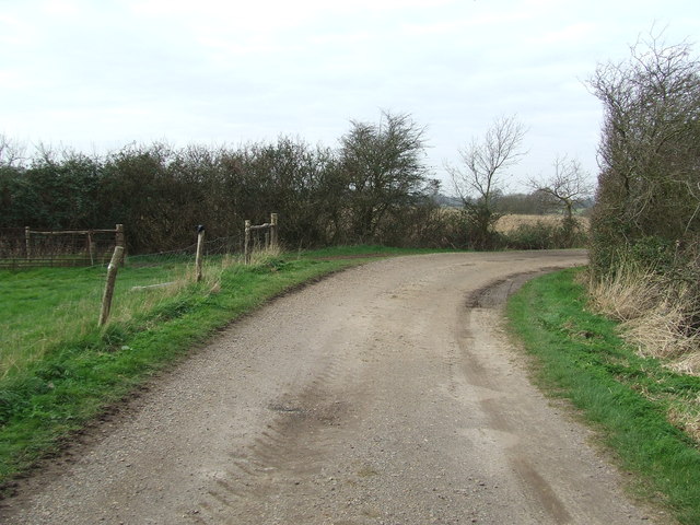
Egypt Wood, Suffolk, also known as Wood or Forest, is a picturesque woodland located in the county of Suffolk, England. Covering an area of approximately 200 acres, it is known for its natural beauty, diverse wildlife, and rich history.

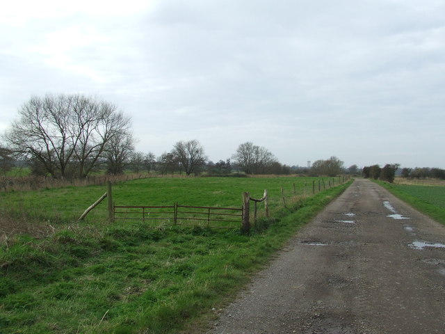
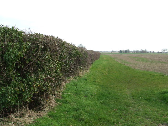
The woodland is characterized by a mix of ancient and plantation woodland, with a variety of tree species such as oak, beech, birch, and pine. The dense canopy of trees provides a serene and peaceful atmosphere, making it a popular destination for nature lovers and outdoor enthusiasts.

Wildlife thrives in Egypt Wood, with an abundance of bird species, including woodpeckers, owls, and various songbirds. Mammals such as deer, foxes, and squirrels can also be spotted within the woodland, making it an ideal location for wildlife enthusiasts and photographers.

The history of Egypt Wood dates back centuries, with evidence of human habitation found in the form of ancient earthworks and burial mounds. The woodland was historically used for timber production and grazing, and remnants of old boundaries and paths can still be seen today.

Visitors to Egypt Wood can enjoy a range of activities, including walking, birdwatching, and picnicking. The woodland is crisscrossed with well-maintained paths, allowing visitors to explore its natural beauty at their leisure.

In summary, Egypt Wood in Suffolk is a captivating woodland that offers a tranquil escape from the hustle and bustle of everyday life. With its stunning scenery, diverse wildlife, and rich history, it is a must-visit destination for nature enthusiasts and those seeking a peaceful retreat.

If you have any feedback on the listing, please let us know in the comments section below.
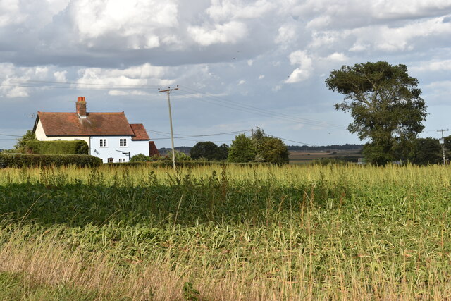
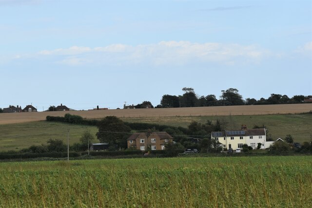
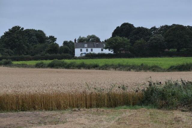
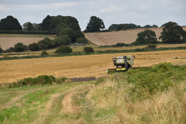
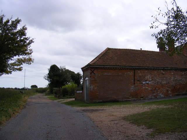
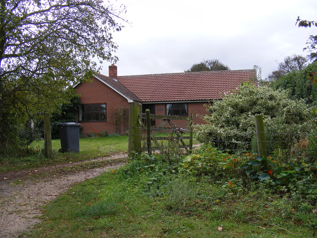
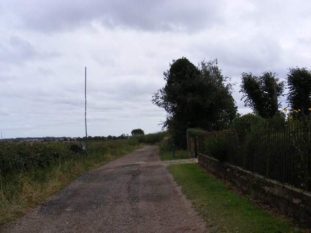
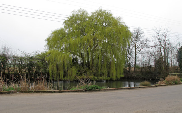
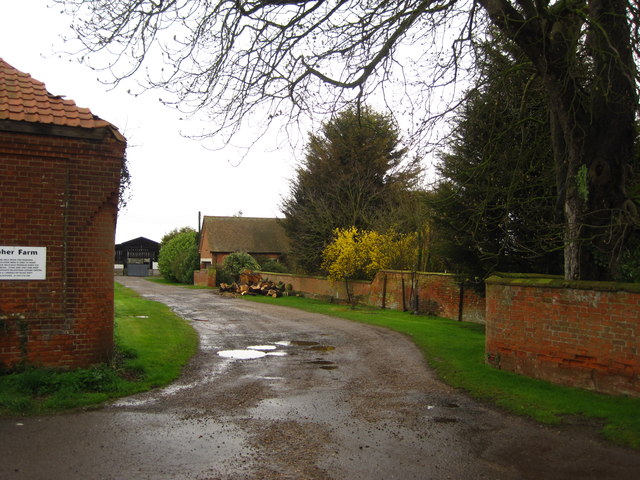
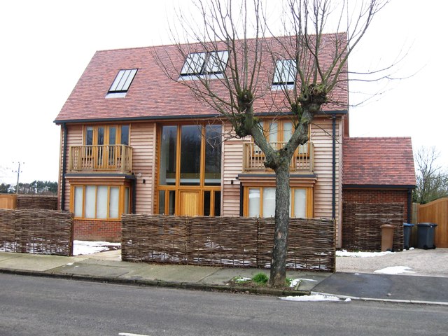
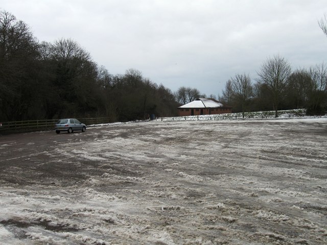
Egypt Wood Images

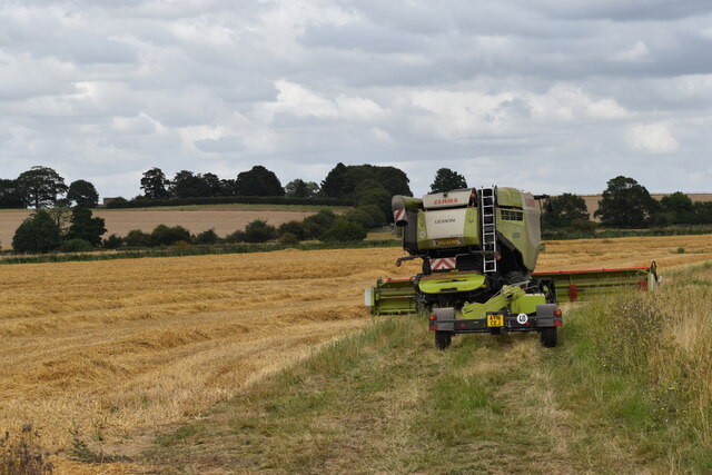
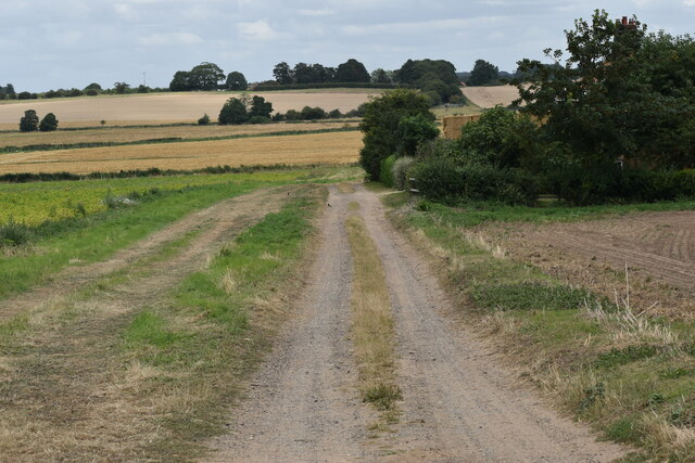
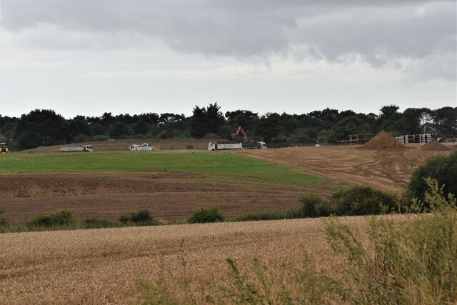
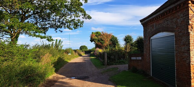
Images are sourced within 2km of 51.983707/1.3312258 or Grid Reference TM2836. Thanks to Geograph Open Source API. All images are credited.

Cottages on Gulpher Road
Houses on Gulpher Road, Felixstowe Looking east from the road near Hill House Farm.
Houses on Gulpher Road, Felixstowe
Looking east from the road near Hill House Farm.
Deben Lodge, Falkenham Deben Lodge is a late 18th Century farmhouse and Grade II Listed Building. It looks out over Falkenham Marshes.
Deben Lodge, Falkenham
Deben Lodge is a late 18th Century farmhouse and Grade II Listed Building. It looks out over Falkenham Marshes.
Harvest time on Rosier Marshes Looking north along the footpath to Falkenham.  Deben Lodge Farm is behind the trees on the horizon.
Harvest time on Rosier Marshes
Looking north along the footpath to Falkenham. Deben Lodge Farm is behind the trees on the horizon.
Combine harvester, Rosier Marshes
The lane below Brick Kiln Cottages Looking north towards Rosier Marshes.  The area of scrub on the right was a brick works in Victorian times.
The lane below Brick Kiln Cottages
Looking north towards Rosier Marshes. The area of scrub on the right was a brick works in Victorian times.
Land cleared for housing development, Felixstowe Looking south from Gulpher Road towards the development of "Trelawny Place".
Land cleared for housing development, Felixstowe
Looking south from Gulpher Road towards the development of "Trelawny Place".
Lane heading east at Deben Lodge
Back Lane & Deben Lodge Farm <span class="nowrap"><a title="https://en.wikipedia.org/wiki/Falkenham" rel="nofollow ugc noopener" href="https://en.wikipedia.org/wiki/Falkenham">Link</a><img style="margin-left:2px;" alt="External link" title="External link - shift click to open in new window" src="https://s1.geograph.org.uk/img/external.png" width="10" height="10"/></span>
Back Lane & Deben Lodge Farm
Deben View at Deben Lodge Farm <span class="nowrap"><a title="https://en.wikipedia.org/wiki/Falkenham" rel="nofollow ugc noopener" href="https://en.wikipedia.org/wiki/Falkenham">Link</a><img style="margin-left:2px;" alt="External link" title="External link - shift click to open in new window" src="https://s1.geograph.org.uk/img/external.png" width="10" height="10"/></span>
Deben View at Deben Lodge Farm
Footpath to Falkenham Creek Near to Deben Lodge Farm
Footpath to Falkenham Creek
Near to Deben Lodge Farm
Gulpher pond Sign nearby reads:
Gulpher pond restored by The Felixstowe Society in co-operation with the Landowner P. Adnams & Sons
Gulpher pond
Sign nearby reads: Gulpher pond restored by The Felixstowe Society in co-operation with the Landowner P. Adnams & Sons
Gulpher Farm entrance
New house, 1 Links Avenue
Icy car park
Icy car park
Footpath Footpath leading to Deben Lodge Farm near to Falkenham, Suffolk.
Footpath
Footpath leading to Deben Lodge Farm near to Falkenham, Suffolk.
Bend In Track Bend in the footpath and track leading to Deben Lodge Farm near to Falkenham, Suffolk.
Bend In Track
Bend in the footpath and track leading to Deben Lodge Farm near to Falkenham, Suffolk.
Hedge Hedge and field boundary near to Falkenham, Suffolk.
Hedge
Hedge and field boundary near to Falkenham, Suffolk.
Show me another place!

Egypt Wood is located at Grid Ref: TM2836 (Lat: 51.983707, Lng: 1.3312258)

Administrative County: Suffolk

District: East Suffolk

Police Authority: Suffolk

What 3 Words

///jobs.sling.fidgeting. Near Felixstowe, Suffolk

Nearby Locations

Egypt Wood

Related Wikis

Trimley St Mary

Trimley St. Mary is a parish and village on the outskirts of Felixstowe, on a low-lying peninsula between Harwich Harbour and the River Deben, in Suffolk...

Upper Mill, Walton

Upper Mill or Walton Mill is a Grade II listed smock mill at Walton, Suffolk, England, which has been conserved. == History == Upper Mill was built in...

Trimley railway station

Trimley railway station is on the Felixstowe Branch Line in the east of England, serving the village of Trimley St. Mary, Suffolk. It is 14 miles 5 chains...

Trimley St Martin

Trimley St. Martin is a parish and village that lies between the rivers Orwell and the Deben, on the long narrow tongue of land from Ipswich to Felixstowe...

Nearby Amenities

Located within 500m of 51.983707,1.3312258
Traffic Signals
Traffic Signals: signal
Lat/Long: 51.9792531/1.3312866
Power: pole
Lat/Long: 51.9822688/1.3377116
Power: pole
Lat/Long: 51.9824567/1.3366198
Power: pole
Lat/Long: 51.9840607/1.3354074
Power: pole
Lat/Long: 51.9875049/1.330963
Power: pole
Lat/Long: 51.983281/1.3360028
Power: pole
Lat/Long: 51.9858497/1.3329451
Power: pole
Lat/Long: 51.9864147/1.3323577
Power: pole
Lat/Long: 51.9869856/1.331721
Power: pole
Lat/Long: 51.9853079/1.3335781
Power: pole
Lat/Long: 51.9846317/1.334332
Motorway Junction
Dockspur
Ref: 60
Lat/Long: 51.9792302/1.331684
Crossing
Crossing: traffic_signals
Tactile Paving: yes
Lat/Long: 51.979241/1.3313427
Waste Basket
Waste: dog_excrement
Lat/Long: 51.9820544/1.324996
Waste Basket
Lat/Long: 51.982042/1.3250135
Waste Basket
Waste: dog_excrement
Lat/Long: 51.9802938/1.3276851
The data included in this document is from www.openstreetmap.org. The data is made available under ODbL.

Have you been to Egypt Wood?

Leave your review of Egypt Wood below (or comments, questions and feedback).