Waterloo Plantation

Wood, Forest in Suffolk East Suffolk

England

Waterloo Plantation

Direction Sign – Signpost on Danacre Road, Denton Located on the northeast side of the crossroads of Denton Road, Danacre Road and Alburgh Road in Denton parish. 5 arms and annulus finial. See also <a title="https://www.geograph.org.uk/photo/4167419" href="https://www.geograph.org.uk/photo/4167419">Link</a>.

Milestone Society National ID: NO_TM2887
Direction Sign – Signpost on Danacre Road, Denton Credit: A Farthing

Waterloo Plantation, located in Suffolk County, is a picturesque woodland area known for its rich history and natural beauty. Situated in the heart of Suffolk, this plantation covers a vast expanse of land, making it an ideal destination for nature enthusiasts and history buffs alike.

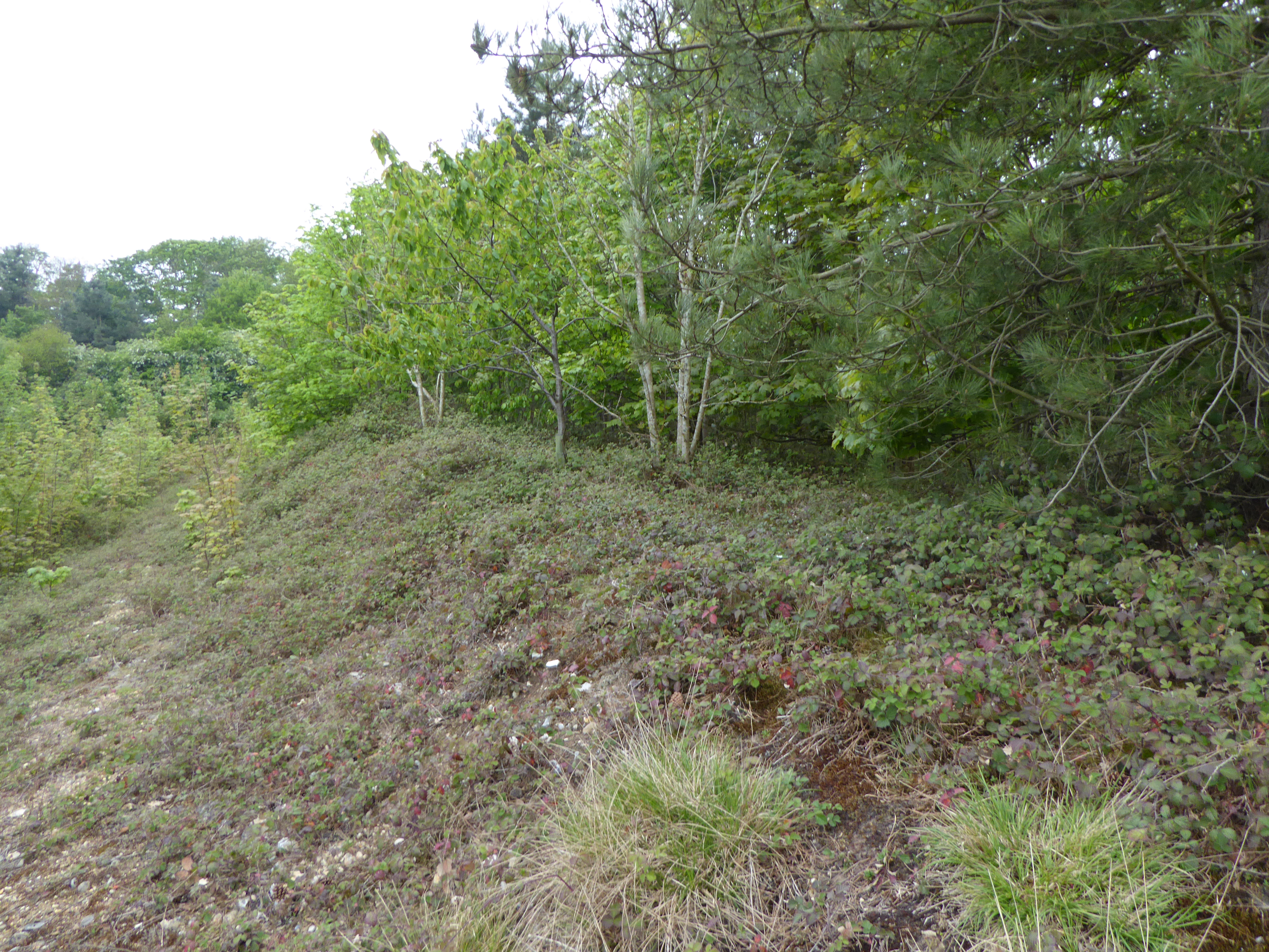
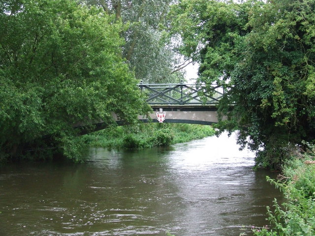
The plantation is primarily known for its dense forest, which is home to a diverse range of plant and animal species. Towering oak trees, vibrant wildflowers, and winding trails offer visitors a chance to immerse themselves in the beauty of nature. The forest provides a habitat for several species of wildlife, including deer, foxes, and a variety of bird species, making it a popular spot for birdwatchers and wildlife photographers.

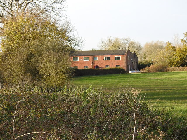
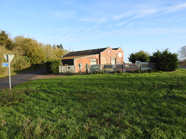
In addition to its natural wonders, Waterloo Plantation holds great historical significance. The plantation dates back to the 18th century, when it was established as a working plantation. It played a crucial role in Suffolk's agricultural development, primarily focusing on the production of tobacco and other crops.

Today, remnants of the plantation's history can still be seen, including the preserved ruins of the original plantation house and several outbuildings. These historical structures serve as a reminder of the area's past and offer visitors a glimpse into the lives of the people who once called Waterloo Plantation home.

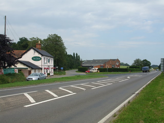
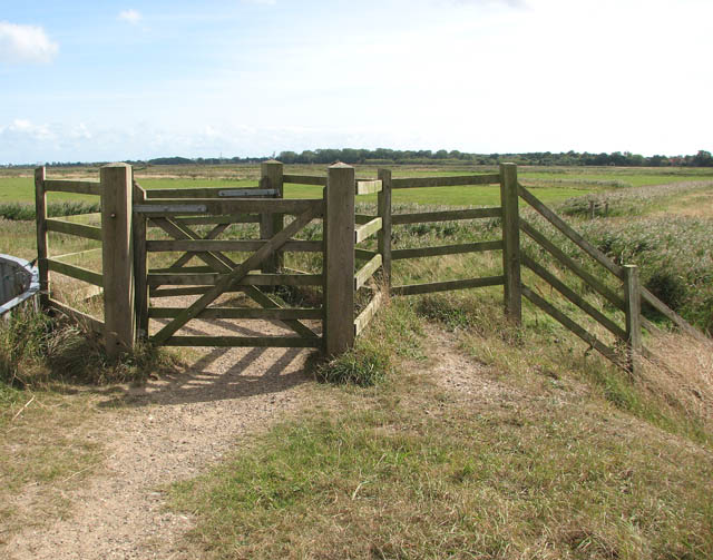
Waterloo Plantation is not only a place of natural and historical significance but also a popular recreational spot. The plantation boasts well-maintained trails, picnic areas, and camping facilities, providing visitors with ample opportunities to explore and enjoy the outdoors.

Overall, Waterloo Plantation is a treasure trove of natural beauty and historical significance, making it a must-visit destination for anyone seeking to experience the charm of Suffolk County.

If you have any feedback on the listing, please let us know in the comments section below.

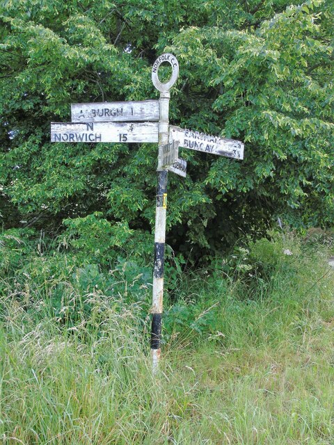
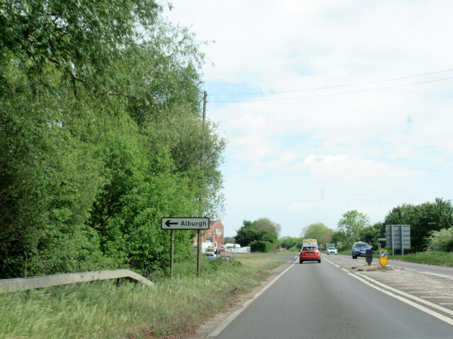
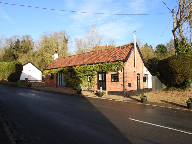
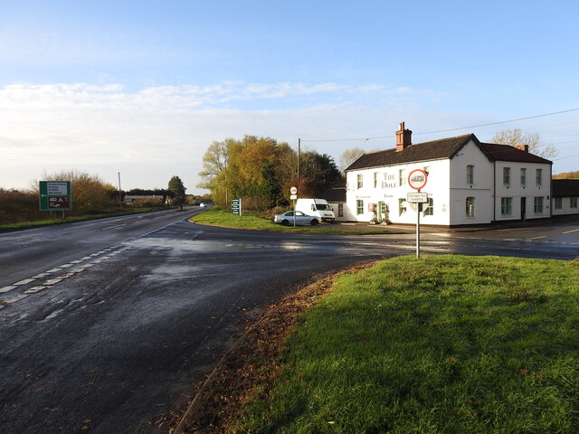
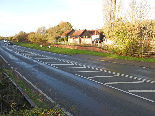
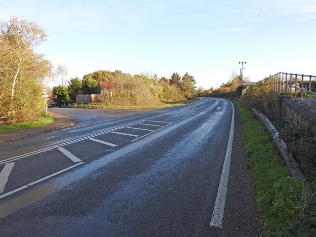
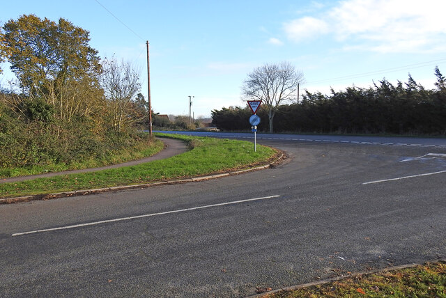
Waterloo Plantation Images

Images are sourced within 2km of 52.42416/1.3642571 or Grid Reference TM2886. Thanks to Geograph Open Source API. All images are credited.

Direction Sign – Signpost on Danacre Road, Denton Located on the northeast side of the crossroads of Denton Road, Danacre Road and Alburgh Road in Denton parish. 5 arms and annulus finial. See also <a title="https://www.geograph.org.uk/photo/4167419" href="https://www.geograph.org.uk/photo/4167419">Link</a>.

Milestone Society National ID: NO_TM2887
Direction Sign – Signpost on Danacre Road, Denton
Located on the northeast side of the crossroads of Denton Road, Danacre Road and Alburgh Road in Denton parish. 5 arms and annulus finial. See also Link. Milestone Society National ID: NO_TM2887
A143 east at turning for Alburgh
The Old Armoury This is probably the Armoury belonging to Flixton Hall before the demise of the Hall.
((Adair of Ballymena Castle and Flixton Hall, baronets)
"During the Second World War he sold the contents of the armoury at Flixton Hall to support the war effort; they are now in the Powder Magazine and the Governor’s Palace at Colonial Williamsburg (USA).")
<span class="nowrap"><a title="https://www.facebook.com/ArtMuseumsofCWF/posts/we-love-to-share-collection-connections-this-magnificent-fan-of-21-infantry-swor/1358477954307042/" rel="nofollow ugc noopener" href="https://www.facebook.com/ArtMuseumsofCWF/posts/we-love-to-share-collection-connections-this-magnificent-fan-of-21-infantry-swor/1358477954307042/">Link</a><img style="margin-left:2px;" alt="External link" title="External link - shift click to open in new window" src="https://s1.geograph.org.uk/img/external.png" width="10" height="10"/></span>
The Old Armoury
This is probably the Armoury belonging to Flixton Hall before the demise of the Hall. ((Adair of Ballymena Castle and Flixton Hall, baronets) "During the Second World War he sold the contents of the armoury at Flixton Hall to support the war effort; they are now in the Powder Magazine and the Governor’s Palace at Colonial Williamsburg (USA).") LinkExternal link
The site of the former Station House at Homersfield Homersfield station was just under 9 miles from Tivetshall and 10 from Beccles, about midway. The platform was rebuilt in 1912 after serious flooding caused much damage. The station had all the usual facilities, with the station master's accommodation on the upper floor. The goods yard has two sidings to a cattle pen and a turntable with three short spur sidings with a connection to a large goods shed and adjoining grain store, which remains extant and in use as a vehicle repair facility.
During WW2 the station served as the rail-link for the nearby USAAF Hardwick airfield.
The site of the former Station House at Homersfield
Homersfield station was just under 9 miles from Tivetshall and 10 from Beccles, about midway. The platform was rebuilt in 1912 after serious flooding caused much damage. The station had all the usual facilities, with the station master's accommodation on the upper floor. The goods yard has two sidings to a cattle pen and a turntable with three short spur sidings with a connection to a large goods shed and adjoining grain store, which remains extant and in use as a vehicle repair facility. During WW2 the station served as the rail-link for the nearby USAAF Hardwick airfield.
Homersfield goods shed from the former track Homersfield goods shed had an adjoining grain store attached in 1898 and the building is still in use today as a vehicle repair facility.
Homersfield goods shed from the former track
Homersfield goods shed had an adjoining grain store attached in 1898 and the building is still in use today as a vehicle repair facility.
The site of the former goods yard at Homersfield The goods yard has two sidings to a cattle pen and a turntable (centre - right of the picture near the tree) with three short spur sidings with a connection to a large goods shed and adjoining grain store added in 1898. The building remains extant and in use as a vehicle repair facility.
The site of the former goods yard at Homersfield
The goods yard has two sidings to a cattle pen and a turntable (centre - right of the picture near the tree) with three short spur sidings with a connection to a large goods shed and adjoining grain store added in 1898. The building remains extant and in use as a vehicle repair facility.
The modern bridge over The Beck This modern bridge replaced the earlier 19th century railway bridge built for the Waveney Valley Railway.
The modern bridge over The Beck
This modern bridge replaced the earlier 19th century railway bridge built for the Waveney Valley Railway.
Site of Homersfield level crossing The crossing #48 was necessarily very wide as the line crossed the road diagonally, centred on where the bollards are located in the road. The crossing was encountered about 90 yards after leaving Homersfield station. and just another 40 yards from the bridge over The Beck.
Site of Homersfield level crossing
The crossing #48 was necessarily very wide as the line crossed the road diagonally, centred on where the bollards are located in the road. The crossing was encountered about 90 yards after leaving Homersfield station. and just another 40 yards from the bridge over The Beck.
The location of the former Wortwell Station The station house and 180 feet platform was situated roughly where the path terminates. The 'platform' in the background is in the original location but has been rebuilt on a smaller scale.
Wortwell Station was built in the second phase, Harleston to Bungay and opened in January 1861, and was closed in January 1878, as an economy measure. The station house became the gatekeeper's house. The Tunbeck Road level crossing #44 was just to the right of the scene.
The location of the former Wortwell Station
The station house and 180 feet platform was situated roughly where the path terminates. The 'platform' in the background is in the original location but has been rebuilt on a smaller scale. Wortwell Station was built in the second phase, Harleston to Bungay and opened in January 1861, and was closed in January 1878, as an economy measure. The station house became the gatekeeper's house. The Tunbeck Road level crossing #44 was just to the right of the scene.
The location of the Tunbeck Road level crossing Wortwell Station closed in 1878, 17 years after it opened. The station building remained until the Old Railway Road was built.
The location of the Tunbeck Road level crossing
Wortwell Station closed in 1878, 17 years after it opened. The station building remained until the Old Railway Road was built.
Site of a former occupation crossing #45 The road has been straightened here and diverted slightly from line of the railway track which ran along the high ground on the opposite side of the road. The crossing was in line with the remains of the road left of the banner. 
The other end of the former roadway remains extant in Wortwell High Road.
Site of a former occupation crossing #45
The road has been straightened here and diverted slightly from line of the railway track which ran along the high ground on the opposite side of the road. The crossing was in line with the remains of the road left of the banner. The other end of the former roadway remains extant in Wortwell High Road.
Site of the Denton Wash level crossing #58 The road was realigned into an 'Z' bend for the crossing as it was almost parallel with the planned alignment of the track. The layout of the new road has blocked access to the road on the other side and constructed a new access to Waveney Farm 120 yards further up the road.
Site of the Denton Wash level crossing #58
The road was realigned into an 'Z' bend for the crossing as it was almost parallel with the planned alignment of the track. The layout of the new road has blocked access to the road on the other side and constructed a new access to Waveney Farm 120 yards further up the road.
Cottages at Homersfield These are right opposite the triangular green at the centre of the village.
Cottages at Homersfield
These are right opposite the triangular green at the centre of the village.
The village green at Homersfield The triangular green is right at the centre of the village.
The village green at Homersfield
The triangular green is right at the centre of the village.
Cottages at Homersfield These are seen from the triangular green at the centre of the village.
Cottages at Homersfield
These are seen from the triangular green at the centre of the village.
The village green at Homersfield The triangular green is right at the centre of the village.
The village green at Homersfield
The triangular green is right at the centre of the village.
Former Ford at Broadwash Farm The ford was overgrown at the time of our visit and Broadwash Farm with 25 acres of woodland and grazing land was up for sale.
Former Ford at Broadwash Farm
The ford was overgrown at the time of our visit and Broadwash Farm with 25 acres of woodland and grazing land was up for sale.
Homersfield Village Sign Apparently, this fellow, his boat, and the fish beneath him are all carved from the trunk of a cedar from Blickling Hall, in North Norfolk.

The sculptor is Mark Goldsworthy, from nearby Bungay.
Homersfield Village Sign
Apparently, this fellow, his boat, and the fish beneath him are all carved from the trunk of a cedar from Blickling Hall, in North Norfolk. The sculptor is Mark Goldsworthy, from nearby Bungay.
Show me another place!

Waterloo Plantation is located at Grid Ref: TM2886 (Lat: 52.42416, Lng: 1.3642571)

Administrative County: Suffolk

District: East Suffolk

Police Authority: Suffolk

What 3 Words

///lizards.growth.scrubbing. Near Harleston, Norfolk

Nearby Locations

Waterloo Plantation

Related Wikis

Flixton Quarry

Flixton Quarry is a 0.7 hectares (1.7 acres) geological Site of Special Scientific Interest 3.75 miles (6.04 km) south-west of Bungay in the English county...

Homersfield

Homersfield, also known as St Mary, South Elmham, is a village and civil parish in the north of the English county of Suffolk. It is in the East Suffolk...

Homersfield Bridge

Homersfield Bridge is a road bridge across the River Waveney between Norfolk and Suffolk, and stands partly in the civil parishes of Alburgh and Wortwell...

Homersfield railway station

Homersfield was a railway station which served the village of Homersfield in Suffolk, England, although the station was located in Alburgh, across the...

Angles Way

The Angles Way is a long-distance footpath in England, close to the River Waveney and River Little Ouse and thus close to the Norfolk/Suffolk border between...

Wortwell railway station

Wortwell was a station in the small hamlet of Wortwell, Norfolk. It was opened in 1855, as part of the Waveney Valley Line between Tivetshall and Beccles...

Wortwell

Wortwell is a village and civil parish in the English county of Norfolk and adjoining the county of Suffolk. It is located on both the River Waveney (which...

St Cross South Elmham

St Cross South Elmham is a village and civil parish in the north of the English county of Suffolk. It is in the East Suffolk district, close to the border...

Have you been to Waterloo Plantation?

Leave your review of Waterloo Plantation below (or comments, questions and feedback).