Dorothy Vernon Wood
Wood, Forest in Suffolk East Suffolk
England
Dorothy Vernon Wood

Dorothy Vernon Wood is a charming forest located in Suffolk, England. Covering an area of approximately 200 acres, this woodland is known for its natural beauty and diverse ecosystem. It is situated near the village of Suffolk, attracting locals and tourists alike who seek tranquility and a connection with nature.
The woodland is mainly composed of broadleaf trees, including oak, beech, and ash, which create a dense canopy and provide a habitat for a variety of wildlife. Walking through Dorothy Vernon Wood, visitors can spot an array of bird species such as woodpeckers, owls, and warblers, making it a popular spot for birdwatching enthusiasts.
The forest also features a network of well-maintained footpaths, allowing visitors to explore its beauty at their own pace. These paths lead to scenic viewpoints, which offer breathtaking views of the surrounding countryside.
Additionally, Dorothy Vernon Wood is home to an abundance of wildflowers, transforming the forest into a vibrant tapestry during the spring and summer months. Bluebells, primroses, and foxgloves are just a few of the colorful blooms that carpet the forest floor.
To ensure its preservation and promote sustainable practices, the woodland is managed by Suffolk County Council. Regular maintenance and conservation efforts are carried out to protect the delicate balance of flora and fauna within Dorothy Vernon Wood.
In conclusion, Dorothy Vernon Wood is a picturesque forest in Suffolk, offering visitors a chance to immerse themselves in the tranquility of nature and explore its diverse ecosystem.
If you have any feedback on the listing, please let us know in the comments section below.
Dorothy Vernon Wood Images
Images are sourced within 2km of 52.078207/1.3256214 or Grid Reference TM2747. Thanks to Geograph Open Source API. All images are credited.


Dorothy Vernon Wood is located at Grid Ref: TM2747 (Lat: 52.078207, Lng: 1.3256214)
Administrative County: Suffolk
District: East Suffolk
Police Authority: Suffolk
What 3 Words
///interviewer.withdraw.comical. Near Woodbridge, Suffolk
Nearby Locations
Related Wikis

Ferry Cliff, Sutton
Ferry Cliff, Sutton is a 2.8-hectare (6.9-acre) geological Site of Special Scientific Interest Suffolk. It is a Geological Conservation Review site, and...
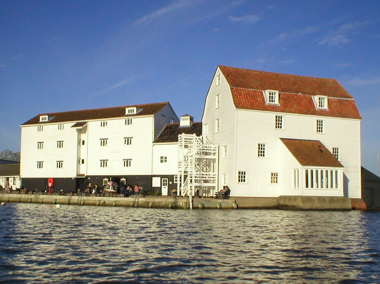
Woodbridge Tide Mill
Woodbridge Tide Mill in Woodbridge, Suffolk, England is a rare example of a tide mill whose water wheel still turns and is capable of grinding a wholemeal...
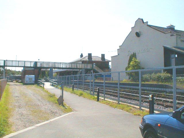
Woodbridge railway station
Woodbridge railway station is on the East Suffolk Line in the east of England, serving the town of Woodbridge, Suffolk. It is 10 miles 19 chains (16.5...

Sutton Hoo
Sutton Hoo is the site of two Anglo-Saxon cemeteries dating from the 6th to 7th centuries near Woodbridge, Suffolk, England. Archaeologists have been excavating...
Nearby Amenities
Located within 500m of 52.078207,1.3256214Have you been to Dorothy Vernon Wood?
Leave your review of Dorothy Vernon Wood below (or comments, questions and feedback).