Shaftesbury Clump
Wood, Forest in Suffolk East Suffolk
England
Shaftesbury Clump
Shaftesbury Clump is a picturesque woodland area located in Suffolk, England. Situated near the town of Woodbridge, it covers an area of approximately 20 acres and is part of the larger Sutton Heath nature reserve. The clump is named after the nearby village of Sutton, which was historically known as Shaftesbury.
The woodland is characterized by a variety of tree species, including oak, birch, beech, and pine. These trees create a dense canopy that provides shade and shelter for numerous wildlife species, making it a popular spot for nature enthusiasts and birdwatchers. The clump is particularly known for its diverse bird population, with species such as woodpeckers, owls, and warblers frequently spotted among the branches.
Aside from its natural beauty, Shaftesbury Clump also holds historical significance. It is believed that the woodland has been present for hundreds of years, serving as a hunting ground for ancient civilizations and later as a source of timber for the local community. Today, the clump is protected as a Site of Special Scientific Interest (SSSI) and is managed by a local conservation group.
Visitors to Shaftesbury Clump can enjoy leisurely walks through the woodland, following a network of well-maintained paths. The tranquil atmosphere and stunning views make it an ideal location for relaxation and reconnecting with nature.
If you have any feedback on the listing, please let us know in the comments section below.
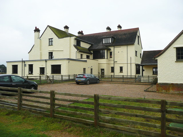
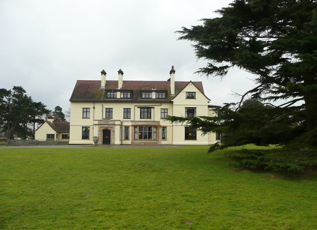
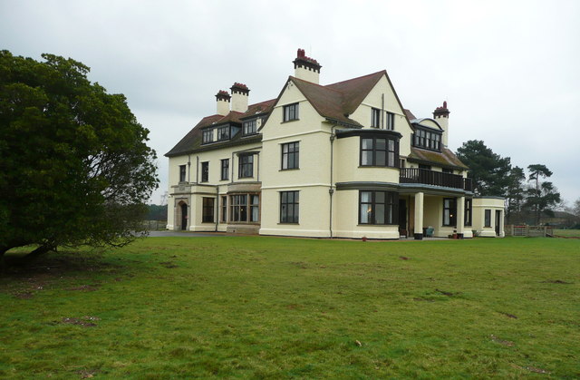
Shaftesbury Clump Images
Images are sourced within 2km of 52.080894/1.3257045 or Grid Reference TM2747. Thanks to Geograph Open Source API. All images are credited.


Shaftesbury Clump is located at Grid Ref: TM2747 (Lat: 52.080894, Lng: 1.3257045)
Administrative County: Suffolk
District: East Suffolk
Police Authority: Suffolk
What 3 Words
///humid.dial.clubbing. Near Woodbridge, Suffolk
Nearby Locations
Related Wikis

Ferry Cliff, Sutton
Ferry Cliff, Sutton is a 2.8-hectare (6.9-acre) geological Site of Special Scientific Interest Suffolk. It is a Geological Conservation Review site, and...
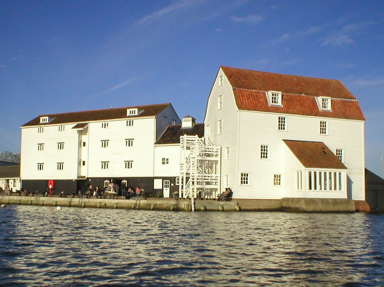
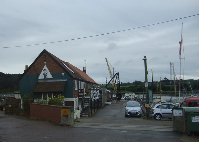
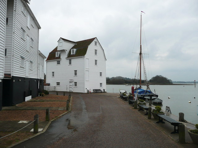
Woodbridge Tide Mill
Woodbridge Tide Mill in Woodbridge, Suffolk, England is a rare example of a tide mill whose water wheel still turns and is capable of grinding a wholemeal...
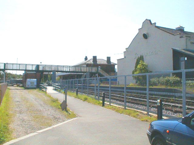
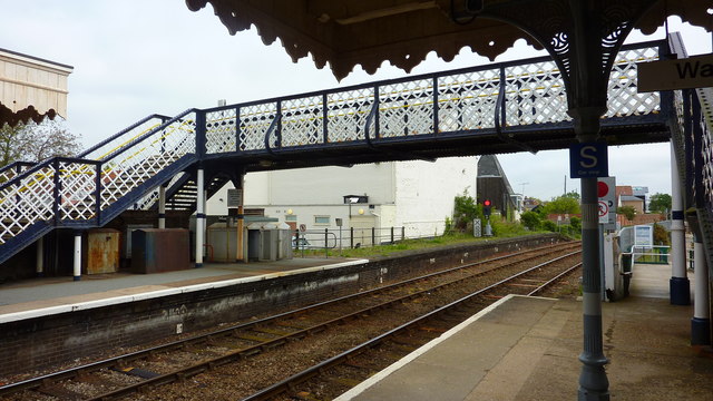
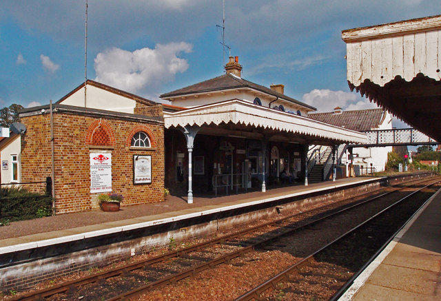
Woodbridge railway station
Woodbridge railway station is on the East Suffolk Line in the east of England, serving the town of Woodbridge, Suffolk. It is 10 miles 19 chains (16.5...

Sutton Hoo
Sutton Hoo is the site of two Anglo-Saxon cemeteries dating from the 6th to 7th centuries near Woodbridge, Suffolk, England. Archaeologists have been excavating...
Nearby Amenities
Located within 500m of 52.080894,1.3257045Have you been to Shaftesbury Clump?
Leave your review of Shaftesbury Clump below (or comments, questions and feedback).