Limekiln Hole
Wood, Forest in Norfolk Broadland
England
Limekiln Hole

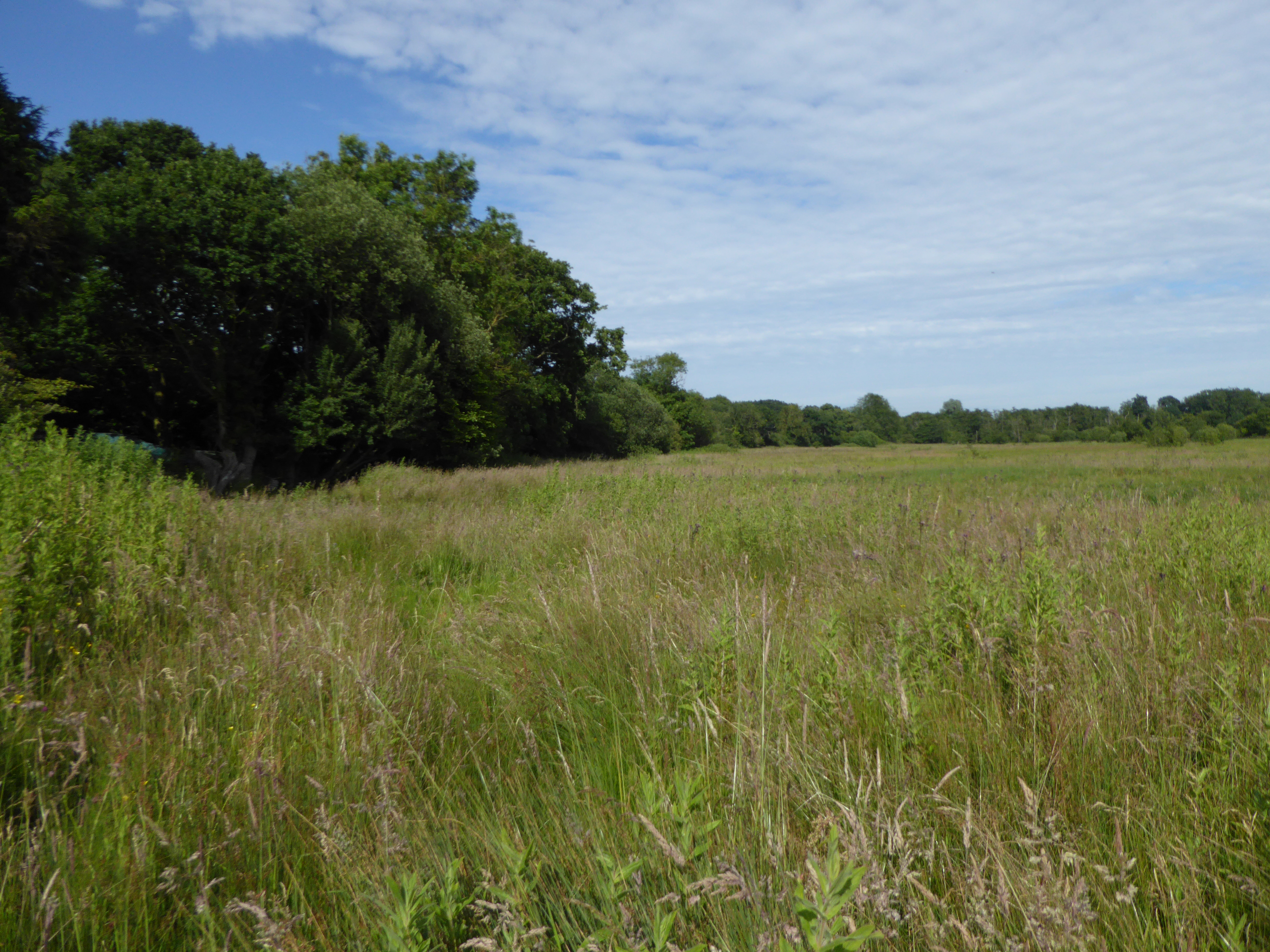
Limekiln Hole is a picturesque wood located in Norfolk, England. Situated in the heart of the county, this enchanting forest covers an area of approximately 50 hectares. It is known for its natural beauty and diverse range of flora and fauna.
The wood derives its name from the historic lime kilns that were once operated in the area. These kilns were used to produce lime for use in construction and agriculture during the 19th century. Today, the remnants of these kilns can still be seen, adding a touch of history to the woodland.
Limekiln Hole is characterized by its dense canopy of trees, which includes species such as oak, beech, and birch. The forest floor is carpeted with an array of wildflowers, creating a vibrant and colorful display during the spring and summer months. Numerous walking trails wind through the woodland, allowing visitors to explore its beauty at their own pace.
Wildlife enthusiasts will find Limekiln Hole to be a haven for various species. The forest is home to a diverse range of birds, including woodpeckers, owls, and songbirds. Additionally, it provides habitat for small mammals like squirrels and hedgehogs, as well as reptiles and amphibians such as snakes and frogs.
Limekiln Hole is a popular destination for nature lovers and outdoor enthusiasts. Its tranquil atmosphere, scenic beauty, and rich biodiversity make it an ideal location for walking, birdwatching, or simply enjoying a peaceful retreat in the heart of nature.
If you have any feedback on the listing, please let us know in the comments section below.
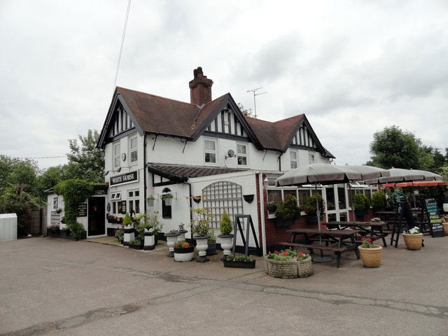
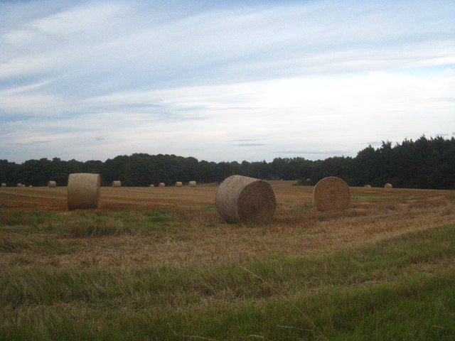
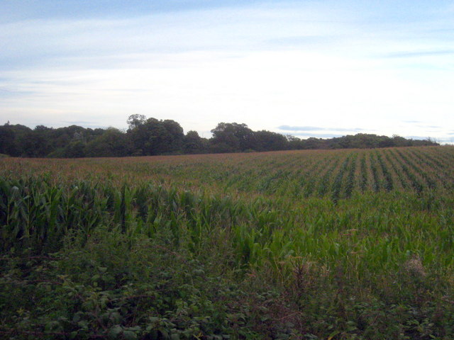
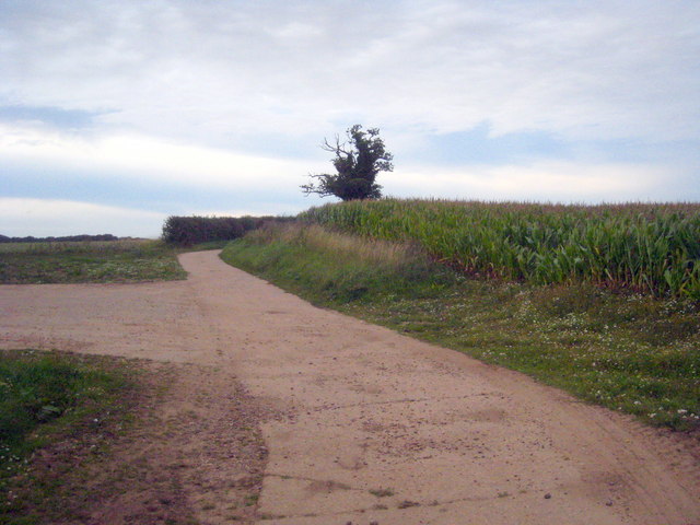
Limekiln Hole Images
Images are sourced within 2km of 52.688637/1.3568323 or Grid Reference TG2615. Thanks to Geograph Open Source API. All images are credited.


Limekiln Hole is located at Grid Ref: TG2615 (Lat: 52.688637, Lng: 1.3568323)
Administrative County: Norfolk
District: Broadland
Police Authority: Norfolk
What 3 Words
///placed.prune.commoners. Near Spixworth, Norfolk
Nearby Locations
Related Wikis
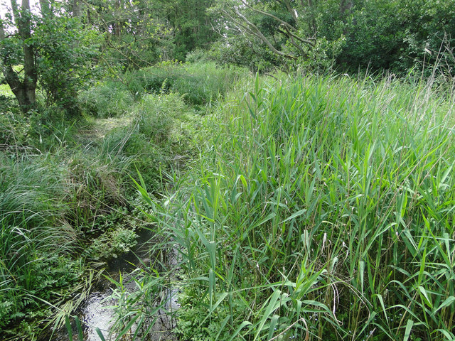
Crostwick Marsh
Crostwick Marsh is an 11.6-hectare (29-acre) biological Site of Special Scientific Interest in Crostwick, north of Norwich in Norfolk. It is part of the...

Crostwick
Crostwick is a village in the English county of Norfolk. The village is part of the civil parish of Horstead with Stanninghall. Crostwick is located 2...

Norwich Northern Distributor Road
The Norwich Northern Distributor Road, now officially named the Broadland Northway (but also known as the NDR) is a 12.4 mi (20.0 km) dual-carriageway...
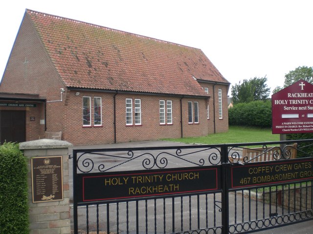
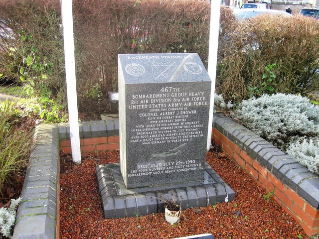
Rackheath
Rackheath is a village and civil parish in the English county of Norfolk, and is roughly 6 miles (9.7 km) north-east of Norwich city centre. It covers...

Beeston St Andrew
Beeston St Andrew is a civil parish north of Norwich in the Broadland district of Norfolk, England. It contains Beeston Park and according to the 2001...

Spixworth
Spixworth is a village and civil parish in the English county of Norfolk. The village lies close to the B1150 road and is 5 miles (8.0 km) north of Norwich...
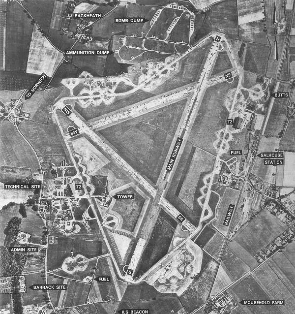
RAF Rackheath
Royal Air Force Rackheath, more commonly known as RAF Rackheath, is a former Royal Air Force station located near the village of Rackheath, approximately...
Rackheath Eco-town
The Rackheath Eco-town is a proposal for just over 5,000 houses to be built in the Rackheath area, in Norfolk, within a mile of The Broads National Park...
Nearby Amenities
Located within 500m of 52.688637,1.3568323Have you been to Limekiln Hole?
Leave your review of Limekiln Hole below (or comments, questions and feedback).