Church Wood

Wood, Forest in Norfolk Broadland

England

Church Wood

Burnt-out industrial premises at Rackheath Industrial Estate On 29 February 2012 a fire ripped through the industrial unit housing a company called PHS Data Shred, situated on the Rackheath Industrial Estate. Altogether 13 fire engines are reported to have been at the scene and the industrial estate was closed to all but emergency vehicles.  A security fence has since been erected around the burnt-out shell of the building.
Burnt-out industrial premises at Rackheath Industrial Estate Credit: Evelyn Simak

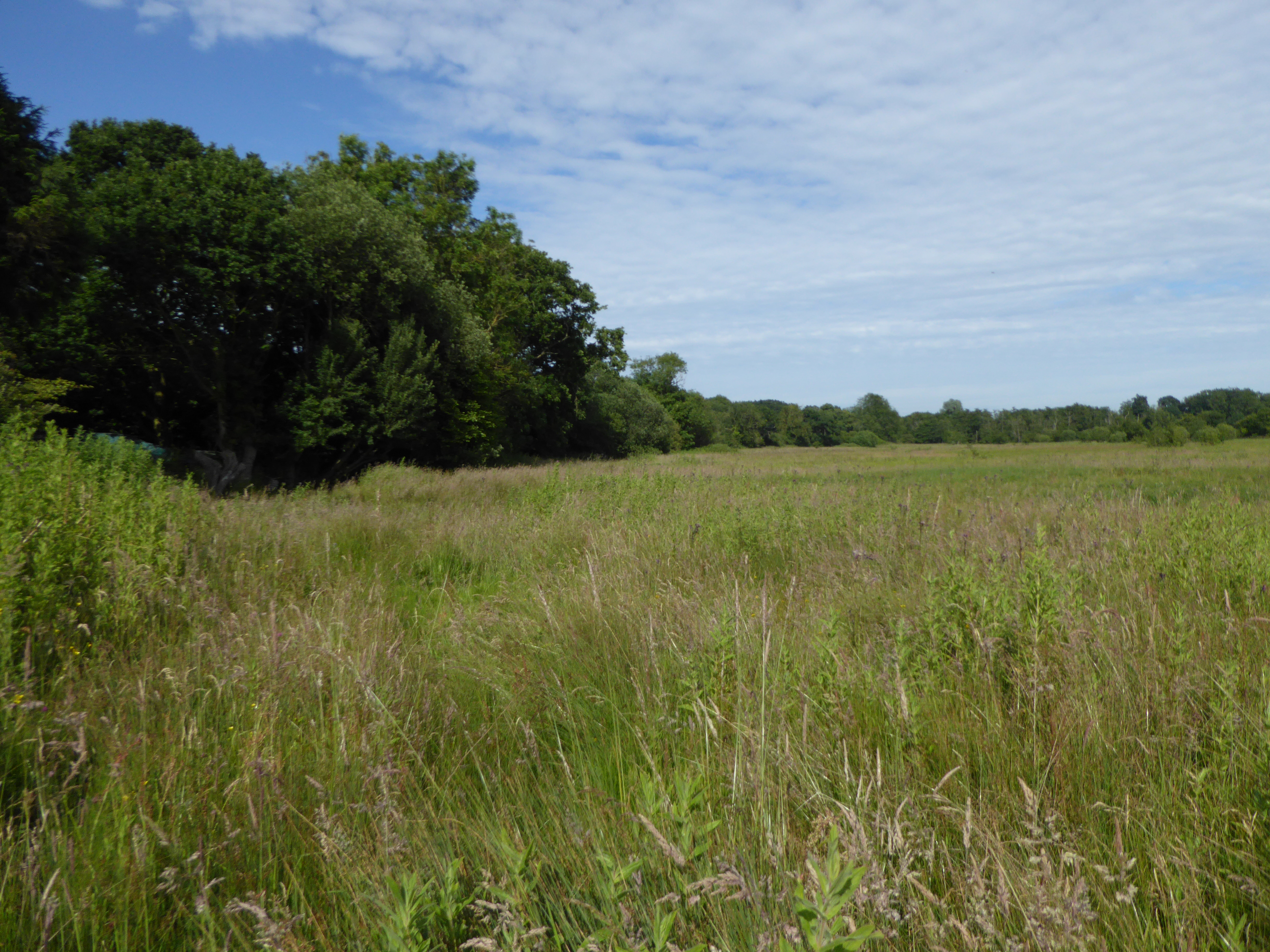
Church Wood is a picturesque woodland located in the county of Norfolk, England. Situated near the village of Norfolk, it covers an area of approximately 50 acres and is known for its diverse range of flora and fauna.

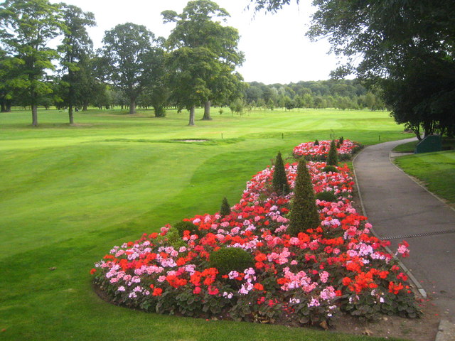
The wood is predominantly made up of deciduous trees, including oak, beech, and ash, which create a dense canopy of foliage, providing a sheltered and tranquil environment for visitors. The forest floor is adorned with an array of native wildflowers, such as bluebells and primroses, adding a burst of color to the woodland.

Church Wood is home to a variety of wildlife, making it a popular spot for nature enthusiasts. Birdwatchers can spot species such as woodpeckers, nuthatches, and tawny owls, while small mammals like squirrels and rabbits can be seen scurrying among the undergrowth. The wood also provides a habitat for a diverse range of insects and butterflies, making it an ideal destination for insect enthusiasts.

The wood features several well-maintained footpaths that meander through the forest, allowing visitors to explore its beauty at their leisure. These trails offer opportunities for peaceful walks, picnics, or even a spot of photography, capturing the tranquil ambiance and natural beauty of the woodland.

Overall, Church Wood offers a serene and idyllic setting for those seeking a peaceful retreat amidst nature. With its diverse range of flora and fauna, it is a haven for wildlife enthusiasts and a place to appreciate the stunning natural landscapes Norfolk has to offer.

If you have any feedback on the listing, please let us know in the comments section below.
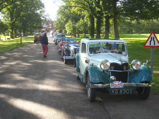
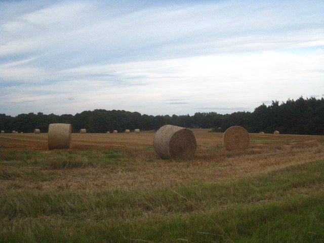
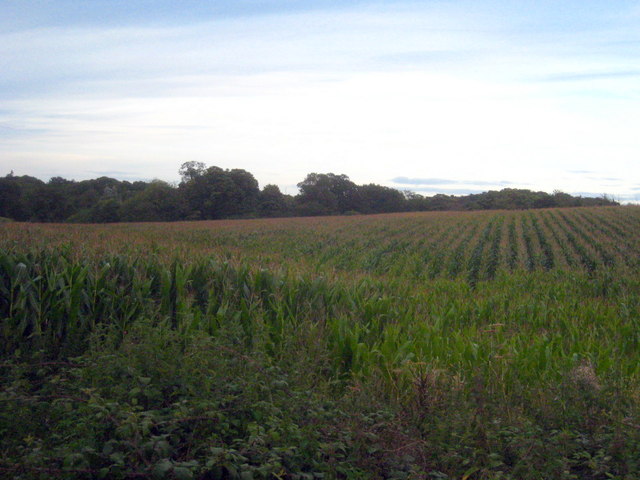
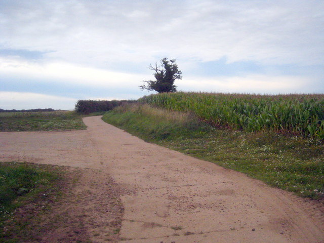
Church Wood Images

Images are sourced within 2km of 52.680972/1.3540834 or Grid Reference TG2614. Thanks to Geograph Open Source API. All images are credited.

Burnt-out industrial premises at Rackheath Industrial Estate On 29 February 2012 a fire ripped through the industrial unit housing a company called PHS Data Shred, situated on the Rackheath Industrial Estate. Altogether 13 fire engines are reported to have been at the scene and the industrial estate was closed to all but emergency vehicles.  A security fence has since been erected around the burnt-out shell of the building.
Burnt-out industrial premises at Rackheath Industrial Estate
On 29 February 2012 a fire ripped through the industrial unit housing a company called PHS Data Shred, situated on the Rackheath Industrial Estate. Altogether 13 fire engines are reported to have been at the scene and the industrial estate was closed to all but emergency vehicles. A security fence has since been erected around the burnt-out shell of the building.
Fire-damaged business unit on the Rackheath Industrial Estate On 29 February 2012 a fire ripped through the industrial unit housing a company called PHS Data Shred, situated on the Rackheath Industrial Estate. Altogether 13 fire engines are reported to have been at the scene and the industrial estate was closed to all but emergency vehicles.  A security fence has since been erected around the burnt-out shell of the building.
Fire-damaged business unit on the Rackheath Industrial Estate
On 29 February 2012 a fire ripped through the industrial unit housing a company called PHS Data Shred, situated on the Rackheath Industrial Estate. Altogether 13 fire engines are reported to have been at the scene and the industrial estate was closed to all but emergency vehicles. A security fence has since been erected around the burnt-out shell of the building.
Business units on the Rackheath Industrial Estate
Unnamed road at Rackheath Industrial Estate
Business units on the Rackheath Industrial Estate
View along the road through Rackheath Industrial Estate
Huge silos on Rackheath Industrial Estate
The Green Man Public House, Wroxham Road, Rackheath A former 17th century coaching inn
The Green Man Public House, Wroxham Road, Rackheath
A former 17th century coaching inn
The drive of the Sprowston Manor Hotel Norwich Classic cars are lined up waiting for the start of the Rotary Retro Automobile Fellowship Jubilee Tour.
The drive of the Sprowston Manor Hotel Norwich
Classic cars are lined up waiting for the start of the Rotary Retro Automobile Fellowship Jubilee Tour.
Straw bales in a field in Beeston Lane Sprowston Wood on the right of the photo.
Straw bales in a field in Beeston Lane
Sprowston Wood on the right of the photo.
Field of maize at Diary Farm
Concrete farm track at Diary Farm
Beeston St Andrew Hall The curved C18th brick garden walls to each side of the house are Grade II Listed.
Beeston St Andrew Hall
The curved C18th brick garden walls to each side of the house are Grade II Listed.
Flowerbeds at Sprowston Manor Golf Club The golf course is set in the parkland surrounding the manor, which is now a hotel.
Flowerbeds at Sprowston Manor Golf Club
The golf course is set in the parkland surrounding the manor, which is now a hotel.
Entrance to Industrial Estate
Rackheath Industrial Estate
WW II memorial
WW II memorial
Witchcraft Way
Witchcraft Way
Show me another place!

Church Wood is located at Grid Ref: TG2614 (Lat: 52.680972, Lng: 1.3540834)

Administrative County: Norfolk

District: Broadland

Police Authority: Norfolk

What 3 Words

///onlookers.expose.fluctuate. Near Spixworth, Norfolk

Nearby Locations

Lady's Carr Church Wood

Related Wikis

Norwich Northern Distributor Road

The Norwich Northern Distributor Road, now officially named the Broadland Northway (but also known as the NDR) is a 12.4 mi (20.0 km) dual-carriageway...

Beeston St Andrew

Beeston St Andrew is a civil parish north of Norwich in the Broadland district of Norfolk, England. It contains Beeston Park and according to the 2001...
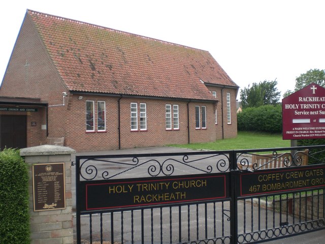
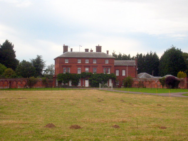
Rackheath

Rackheath is a village and civil parish in the English county of Norfolk, and is roughly 6 miles (9.7 km) north-east of Norwich city centre. It covers...
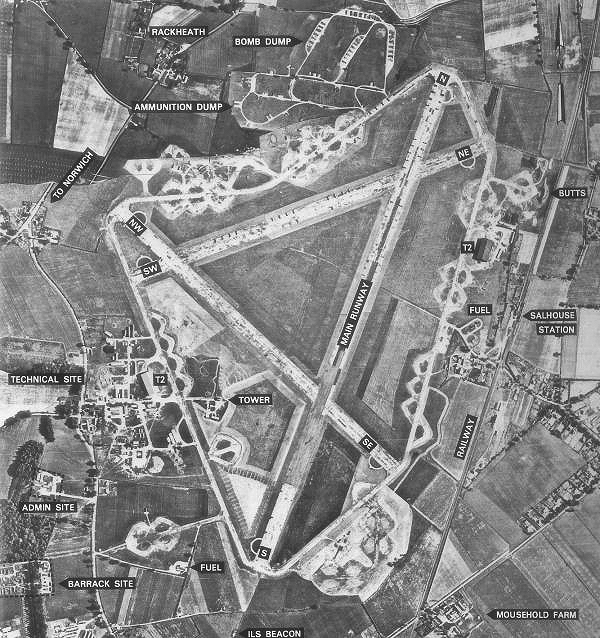
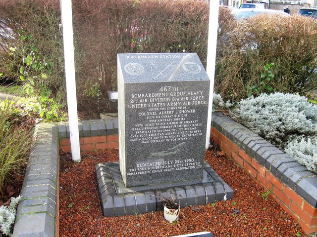
RAF Rackheath

Royal Air Force Rackheath, more commonly known as RAF Rackheath, is a former Royal Air Force station located near the village of Rackheath, approximately...

Rackheath Eco-town

The Rackheath Eco-town is a proposal for just over 5,000 houses to be built in the Rackheath area, in Norfolk, within a mile of The Broads National Park...

Crostwick

Crostwick is a village in the English county of Norfolk. The village is part of the civil parish of Horstead with Stanninghall. Crostwick is located 2...

Spixworth

Spixworth is a village and civil parish in the English county of Norfolk. The village lies close to the B1150 road and is 5 miles (8.0 km) north of Norwich...

Crostwick Marsh

Crostwick Marsh is an 11.6-hectare (29-acre) biological Site of Special Scientific Interest in Crostwick, north of Norwich in Norfolk. It is part of the...

Nearby Amenities

Located within 500m of 52.680972,1.3540834
Turning Circle
Lat/Long: 52.6844961/1.3573696
Entrance: yes
Lat/Long: 52.6847586/1.357521
Entrance: main
Lat/Long: 52.6847113/1.3573379
The data included in this document is from www.openstreetmap.org. The data is made available under ODbL.

Have you been to Church Wood?

Leave your review of Church Wood below (or comments, questions and feedback).