Blyth's Grove

Wood, Forest in Norfolk South Norfolk

England

Blyth's Grove

Neolithic polished flint axe The axe, which measures 135mm x 60mm and about 6,000 years old, was found close to this spot in 1977.
The general location can be seen here <a title="https://www.geograph.org.uk/photo/6946224" href="https://www.geograph.org.uk/photo/6946224">Link</a>
Neolithic polished flint axe Credit: Adrian S Pye

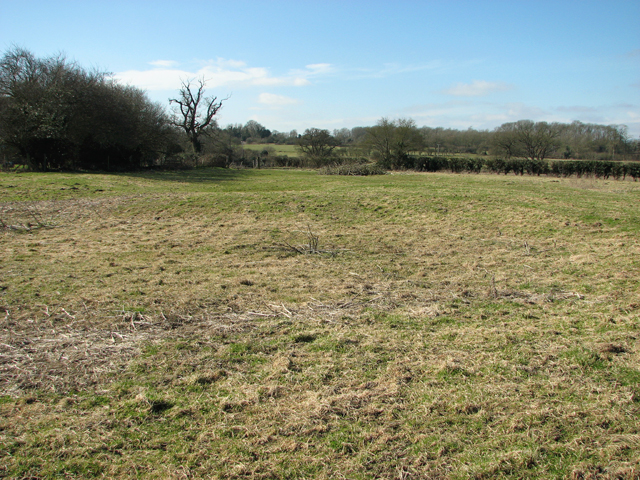
Blyth's Grove is a woodland area located in Norfolk, England. Spread across a vast expanse, it is known for its picturesque beauty and diverse ecosystem. This natural treasure is situated near the village of Blythburgh and encompasses a mix of deciduous and coniferous trees, making it a haven for numerous species of wildlife.

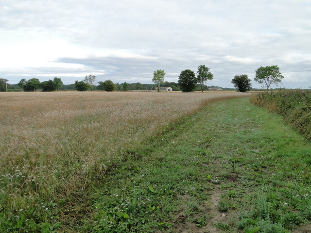
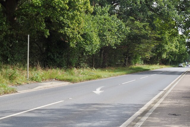
The grove features a variety of tree species, including oak, beech, birch, and pine. These trees create a dense canopy, casting dappled sunlight on the forest floor and providing a tranquil environment for visitors. The undergrowth is abundant with ferns, wildflowers, and moss, adding to the area's allure.

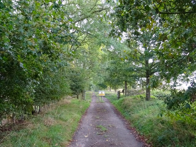
A network of well-maintained footpaths and trails crisscrosses Blyth's Grove, allowing visitors to explore its enchanting surroundings. Walking through the grove, one can observe a rich diversity of animal life, including squirrels, deer, rabbits, and a multitude of bird species. Birdwatchers flock to the area to catch glimpses of rare species, such as woodpeckers and tawny owls.

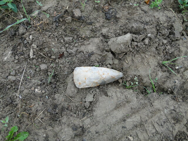
Blyth's Grove has a rich history and is steeped in folklore. It is said to have inspired many local legends and ghost stories, adding a touch of mystique to the experience of exploring the woods. The grove is also significant from an archaeological standpoint, with ancient burial mounds and prehistoric remains found within its boundaries.

With its natural beauty, diverse flora and fauna, and intriguing history, Blyth's Grove in Norfolk is a must-visit destination for nature enthusiasts and those seeking tranquility amidst the magical charm of a woodland setting.

If you have any feedback on the listing, please let us know in the comments section below.

Blyth's Grove Images

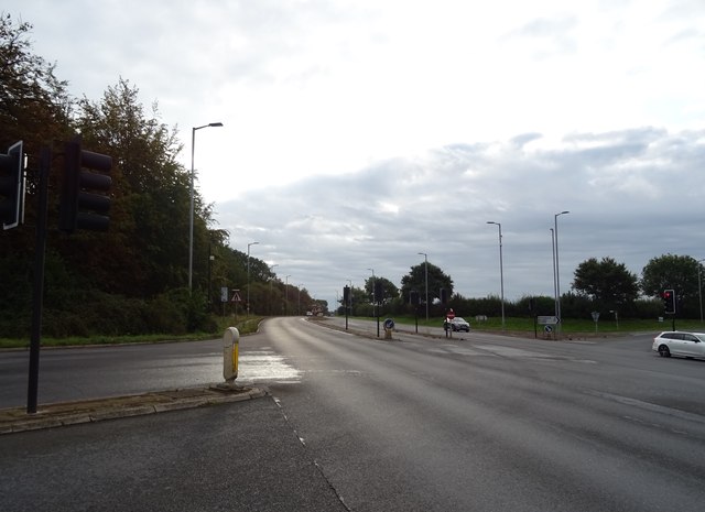
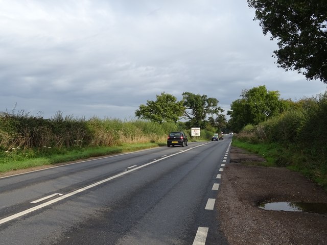
Images are sourced within 2km of 52.600961/1.3477999 or Grid Reference TG2605. Thanks to Geograph Open Source API. All images are credited.

Neolithic polished flint axe The axe, which measures 135mm x 60mm and about 6,000 years old, was found close to this spot in 1977.
The general location can be seen here <a title="https://www.geograph.org.uk/photo/6946224" href="https://www.geograph.org.uk/photo/6946224">Link</a>
Neolithic polished flint axe
The axe, which measures 135mm x 60mm and about 6,000 years old, was found close to this spot in 1977. The general location can be seen here Link
Field headland A polished neolithic flint axe was found in this field in 1977 <a href="https://www.geograph.org.uk/photo/6946221">TG2605 : Neolithic polished flint axe</a>
Field headland
A polished neolithic flint axe was found in this field in 1977 TG2605 : Neolithic polished flint axe
The B1332 with information sign
The B1332 junction with the A146 approaching Norwich
The A146 joining the A47 at Norwich
Lodge and gates, Trowse Newton North Lodge, former entrance to Whitlingham Hall (<a href="https://www.geograph.org.uk/photo/4769135">TG2506 : Crown Point Hall</a>). By George Devey, c1864.
Lodge and gates, Trowse Newton
North Lodge, former entrance to Whitlingham Hall (TG2506 : Crown Point Hall). By George Devey, c1864.
Old Rectory, Kirby Bedon A handsome early Georgian house in five bays with a pedimented Ionic doorcase. Grade II listed.
The owner kindly gave me permission to photograph.
Old Rectory, Kirby Bedon
A handsome early Georgian house in five bays with a pedimented Ionic doorcase. Grade II listed. The owner kindly gave me permission to photograph.
It is an ex-bus stop On the B1332, Bungay Road.
It is an ex-bus stop
On the B1332, Bungay Road.
B1332 junction with the A146
Crop field and woodland Off the B1332.
Crop field and woodland
Off the B1332.
B1332 heading north
B1332 heading north
Cottages, Arminghall
Gated road to the ruined church of St Wandregesilius
Bungay Road (B1332) Heading south towards Poringland.
Bungay Road (B1332)
Heading south towards Poringland.
Pylon in crop field
Pylon in crop field
Loddon Road (A146)
Loddon Road (A146)
Bend in Loddon Road (A146) towards Norwich
The Old Feathers
The Old Feathers
Show me another place!

Blyth's Grove is located at Grid Ref: TG2605 (Lat: 52.600961, Lng: 1.3477999)

Administrative County: Norfolk

District: South Norfolk

Police Authority: Norfolk

What 3 Words

///deep.shady.direct. Near Poringland, Norfolk

Nearby Locations

Blyth's Grove

Related Wikis

Bixley medieval settlement

Bixley medieval settlement is a deserted medieval village in Norfolk, England, about 2 miles (3.2 km) south-east of Norwich. It is a Scheduled Monument...

Bixley

Bixley is a former civil parish now in the parish of Caistor St Edmund and Bixley, in the South Norfolk district of Norfolk, England. According to the...

Kirby Bedon

Kirby Bedon is a hamlet in South Norfolk which lies approximately 3½ miles (5½ km) south-east of Norwich on the road to Bramerton. It covers an area of...

Arminghall

Arminghall is a village and former civil parish, now in the parish of Caistor St Edmund and Bixley, in the South Norfolk district, in the county of Norfolk...

Nearby Amenities

Located within 500m of 52.600961,1.3477999
Material: wood
Power: pole
Lat/Long: 52.601836/1.34074
Power: pole
Lat/Long: 52.602385/1.343653
Power: pole
Lat/Long: 52.60211/1.342193
Power: pole
Lat/Long: 52.602442/1.345774
Power: pole
Lat/Long: 52.602687/1.345187
Power: pole
Lat/Long: 52.6012234/1.3487448
Power: pole
Lat/Long: 52.601822/1.347247
Power: pole
Lat/Long: 52.599525/1.352984
Power: pole
Lat/Long: 52.599036/1.354218
Power: pole
Lat/Long: 52.600605/1.350243
Power: pole
Lat/Long: 52.600005/1.351742
Give Way
Lat/Long: 52.603282/1.3457655
Parking
Access: yes
Fee: no
Parking: layby
Lat/Long: 52.599529/1.341796
Give Way
Lat/Long: 52.6033116/1.3456847
Give Way
Lat/Long: 52.5980609/1.3443969
Marker: post
Utility: gas
Lat/Long: 52.6025706/1.3493489
Marker: post
Utility: gas
Lat/Long: 52.6024633/1.3494042
Inscription: GAS LTS HP GAS PIPELINE
Marker: post
Material: concrete
Utility: gas
Lat/Long: 52.6025273/1.3491355
Colour: red and white
Marker: aerial
Utility: gas
Lat/Long: 52.6027358/1.3492363
The data included in this document is from www.openstreetmap.org. The data is made available under ODbL.

Have you been to Blyth's Grove?

Leave your review of Blyth's Grove below (or comments, questions and feedback).