Alder Carr

Wood, Forest in Suffolk East Suffolk

England

Alder Carr

Waldringfield: footpath, field and fog One of a number of paths in the southern part of the village.
Waldringfield: footpath, field and fog Credit: John Sutton

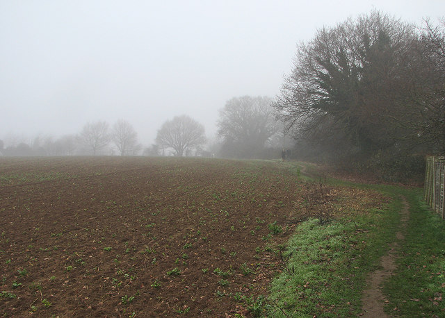
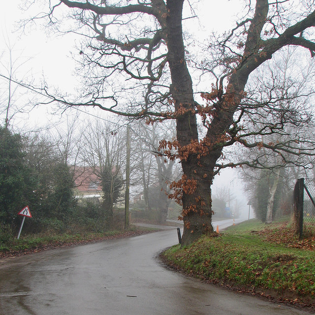
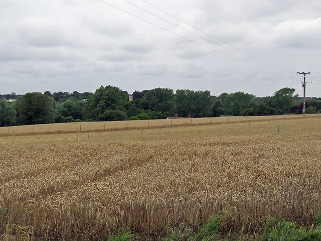
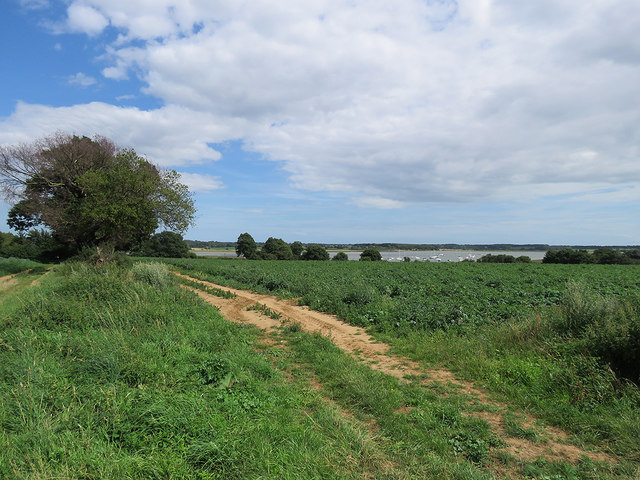
Alder Carr, Suffolk is a picturesque woodland area located in the eastern part of England. It is a prime example of a traditional English countryside, boasting a thriving woodland ecosystem and stunning natural beauty. Known for its dense alder tree population, the area is often referred to as Alder Carr Wood or Alder Carr Forest.

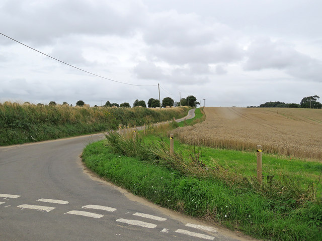
Covering an area of approximately 200 acres, Alder Carr is home to a wide variety of flora and fauna. The woodlands are dominated by alder trees, which thrive in the damp and marshy conditions of the area. The forest floor is covered in a lush carpet of mosses, ferns, and wildflowers, creating a vibrant and colorful landscape.

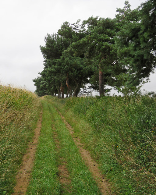
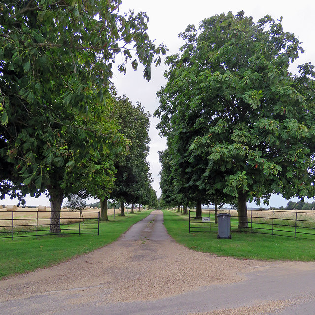
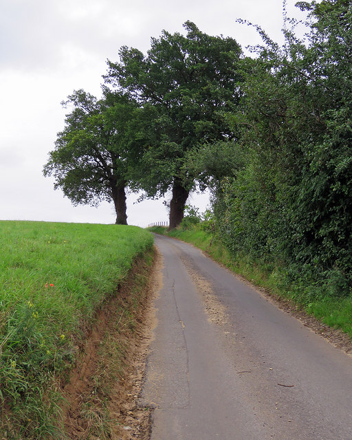
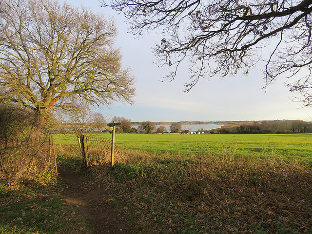
The woodland is crisscrossed by a network of footpaths and trails, offering visitors the opportunity to explore and immerse themselves in nature. These paths lead to hidden gems such as tranquil streams, small ponds, and secluded clearings. Birdwatchers and nature enthusiasts flock to Alder Carr to spot a wide range of bird species, including woodpeckers, owls, and various waterfowl.

In addition to its natural beauty, Alder Carr also serves as an important habitat for a diverse range of wildlife. The woodland is home to squirrels, rabbits, badgers, and even deer, making it a popular destination for animal lovers and wildlife photographers.

A visit to Alder Carr offers a peaceful and serene experience, allowing visitors to escape the hustle and bustle of everyday life and connect with nature. Whether it's a leisurely walk, a picnic by the stream, or simply enjoying the tranquil surroundings, Alder Carr is a true gem for anyone seeking solace in the beauty of the natural world.

If you have any feedback on the listing, please let us know in the comments section below.
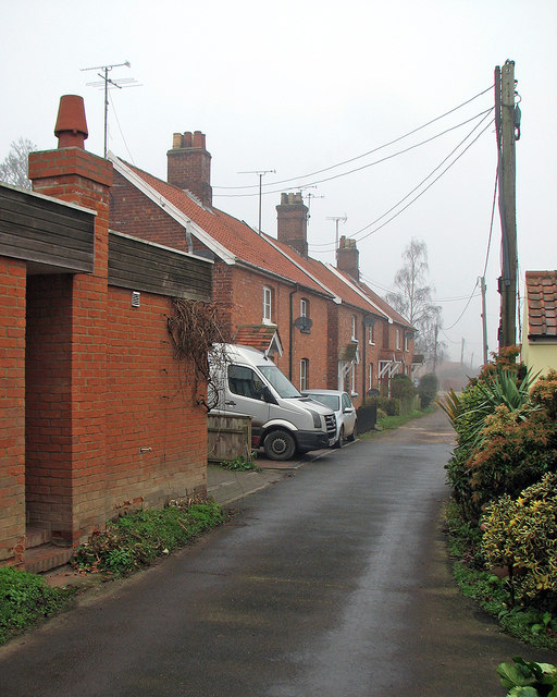
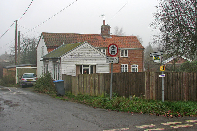
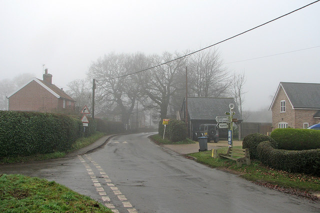
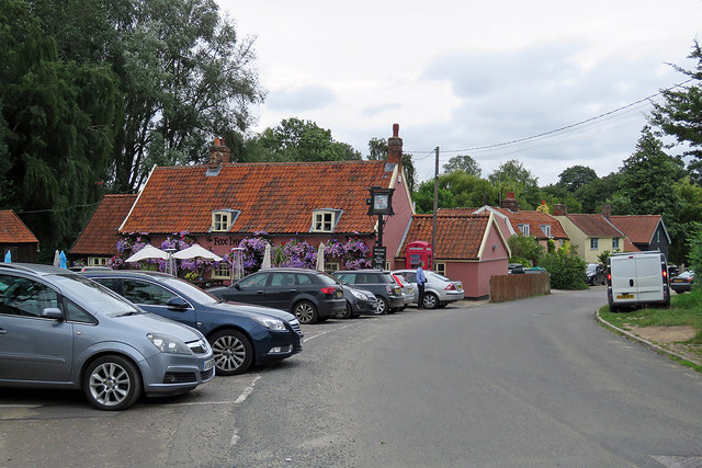
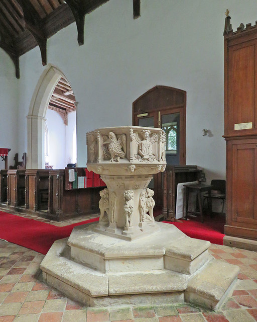
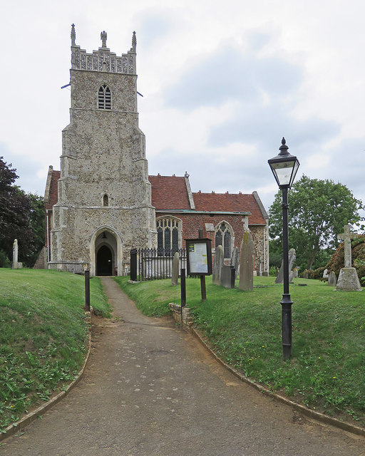
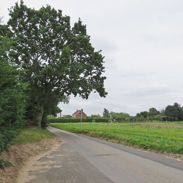
Alder Carr Images

Images are sourced within 2km of 52.044289/1.3052178 or Grid Reference TM2643. Thanks to Geograph Open Source API. All images are credited.

Waldringfield: footpath, field and fog One of a number of paths in the southern part of the village.
Waldringfield: footpath, field and fog
One of a number of paths in the southern part of the village.
Waldringfield: Deben Lane in December A dank, foggy morning at the end of the year.
Waldringfield: Deben Lane in December
A dank, foggy morning at the end of the year.
Waldringfield: the corner of Sandy Lane This was formerly the village post office. For the 2016 arrangements, see <a href="https://www.geograph.org.uk/photo/5239865">TM2744 : Waldringfield: the mobile post office at the village hall</a>.
Waldringfield: the corner of Sandy Lane
This was formerly the village post office. For the 2016 arrangements, see TM2744 : Waldringfield: the mobile post office at the village hall.
Waldringfield: at the corner of Mill Road School Road and the school are straight ahead, Mill Road to the left and Cliff Road behind the camera. This was a gloomy day at the end of the year.
Waldringfield: at the corner of Mill Road
School Road and the school are straight ahead, Mill Road to the left and Cliff Road behind the camera. This was a gloomy day at the end of the year.
Waldringfield: School Road in winter The primary school is behind the camera. This was a foggy day at the end of December.
Waldringfield: School Road in winter
The primary school is behind the camera. This was a foggy day at the end of December.
Waldringfield: the mobile post office at the village hall A foggy morning in the week after Christmas.
Waldringfield: the mobile post office at the village hall
A foggy morning in the week after Christmas.
Bridle way to Waldringfield The track from Hemley to Waldringfield (ahead) on a rainy August afternoon.
Bridle way to Waldringfield
The track from Hemley to Waldringfield (ahead) on a rainy August afternoon.
Hemley: cottages on Church Lane Soon after the cottages the lane turns into a bridle path to Mill Road, Waldringfield. Steady rain had swept in after a dry morning.
Hemley: cottages on Church Lane
Soon after the cottages the lane turns into a bridle path to Mill Road, Waldringfield. Steady rain had swept in after a dry morning.
A wheatfield near Newbourne Newbourne church tower shows among the trees on the other side of the valley, the roof and chimneys of Street Farm beyond the wheat. Rain set in later on this August afternoon.

Update (December 2017): the stakes mark the course of the Ea1 onshore electricity cable, whose construction began later in the year (see <a href="https://www.geograph.org.uk/photo/5637802">TM2742 : Electricity cable works near Newbourne</a>).
A wheatfield near Newbourne
Newbourne church tower shows among the trees on the other side of the valley, the roof and chimneys of Street Farm beyond the wheat. Rain set in later on this August afternoon. Update (December 2017): the stakes mark the course of the Ea1 onshore electricity cable, whose construction began later in the year (see TM2742 : Electricity cable works near Newbourne).
Hemley Hall only So reads the sign at the end of the drive, seen from the Newbourne-Hemley road on a cloudy August afternoon.
Hemley Hall only
So reads the sign at the end of the drive, seen from the Newbourne-Hemley road on a cloudy August afternoon.
The road to Hemley The junction of the roads from Waldringfield and Newbourne (right) on a cloudy August afternoon.
The road to Hemley
The junction of the roads from Waldringfield and Newbourne (right) on a cloudy August afternoon.
Newbourne: up The Street The narrow lane to the east of the village, leading to Waldringfield and Hemley.
Newbourne: up The Street
The narrow lane to the east of the village, leading to Waldringfield and Hemley.
Newbourne: The Fox Colour-washed walls, pantiles and a lot of petunias.
Newbourne: The Fox
Colour-washed walls, pantiles and a lot of petunias.
Newbourne: St Mary - the font "Against the stem four lions and four Wild Men. Against the bowl the Signs of the four Evangelists and angels with shields illustrating the Trinity and the Passion and the Cross, and M for the Virgin Mary" (Nikolaus Pevsner).
Newbourne: St Mary - the font
"Against the stem four lions and four Wild Men. Against the bowl the Signs of the four Evangelists and angels with shields illustrating the Trinity and the Passion and the Cross, and M for the Virgin Mary" (Nikolaus Pevsner).
Newbourne: St Mary "S tower probably Dec, with diagonal buttresses with five set-offs. Flushwork decoration on the double-stepped battlements. Also pinnacles and four (new) angel figures instead of intermediate pinnacles. S aisle of red brick with dark blue diaper; early C16" (Nikolaus Pevsner).
Newbourne: St Mary
"S tower probably Dec, with diagonal buttresses with five set-offs. Flushwork decoration on the double-stepped battlements. Also pinnacles and four (new) angel figures instead of intermediate pinnacles. S aisle of red brick with dark blue diaper; early C16" (Nikolaus Pevsner).
On Newbourne Road The road from Martlesham to Newbourne (ahead) on an August afternoon.
On Newbourne Road
The road from Martlesham to Newbourne (ahead) on an August afternoon.
Waldringfield: down to the river A view towards the Deben estuary from the path from Mill Road to the beach.
Waldringfield: down to the river
A view towards the Deben estuary from the path from Mill Road to the beach.
Waldringfield: footpaths and fingerpost The footpath to the sailing club on a winter afternoon.
Waldringfield: footpaths and fingerpost
The footpath to the sailing club on a winter afternoon.
Show me another place!

Alder Carr is located at Grid Ref: TM2643 (Lat: 52.044289, Lng: 1.3052178)

Administrative County: Suffolk

District: East Suffolk

Police Authority: Suffolk

What 3 Words

///ogre.super.tagging. Near Kesgrave, Suffolk

Nearby Locations

Alder Carr Newbourne

Related Wikis

Newbourne Springs

Newbourne Springs is a 15.7-hectare (39-acre) biological Site of Special Scientific Interest in Newbourne in Suffolk. It is owned by Anglian Water and...

Newbourne

Newbourne is a village and civil parish in the East Suffolk district of Suffolk, England. It lies on the peninsula between the River Orwell and the River...

Waldringfield Pit

Waldringfield Pit is a 0.8-hectare (2.0-acre) geological Site of Special Scientific Interest between Martlesham Heath and Waldringfield in Suffolk. It...

Waldringfield

Waldringfield is a village and civil parish in the East Suffolk district, in the county of Suffolk, England. It is situated on the bank of the River Deben...

Brightwell, Suffolk

Brightwell is a village and civil parish in the East Suffolk district, in the English county of Suffolk. It has a church called St John The Baptist. For...

Hemley

Hemley is a village and a civil parish in the East Suffolk district, in the English county of Suffolk. It is located near the River Deben. Nearby settlements...

Centre for Integrated Photonics

The Centre for Integrated Photonics (CIP) was a research and development centre for photonic devices. It was based in Phoenix House at Adastral Park in...

Adastral Park

Adastral Park is a science campus based on part of the old Royal Air Force Station at Martlesham Heath, near Ipswich in the English county of Suffolk....

Related Videos

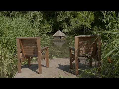
Newbourne Woodland Campsite - Escape to the woods!

Welcome to Newbourne Woodland Campsite. Relax and enjoy peaceful adult-only woodland camping near Ipswich, Suffolk.

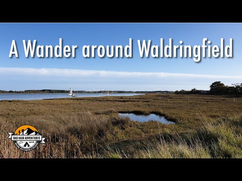
A Wander around Waldringfield 03/11/19

As yesterday was a wash out, we decided to head out and stretch our legs. Just a short wander, brew stop, more wandering, then ...

Isuzu D-Max fitted with ARB roof tent, side awning and slide out kitchen - Black Stag Styling

ARB visit us at Black Stag Styling to demo there pickup truck accessories. From roof tent, side canopy, pull out kitchen, sliding ...

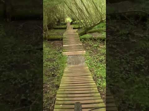
Mtb sounds at Twisted Oaks, dirt woodwork mud and hope pro 4

Day at Twisted Oaks Bike Park #shorts #mtb #mountainbiking #hopehubs #sixthelementwheels Bike Scott Spark 710+ Frame hmf ...

Nearby Amenities

Located within 500m of 52.044289,1.3052178
The data included in this document is from www.openstreetmap.org. The data is made available under ODbL.

Have you been to Alder Carr?

Leave your review of Alder Carr below (or comments, questions and feedback).