Darrow Wood
Wood, Forest in Norfolk South Norfolk
England
Darrow Wood
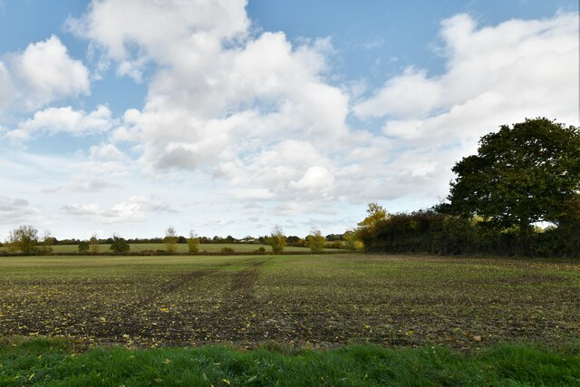
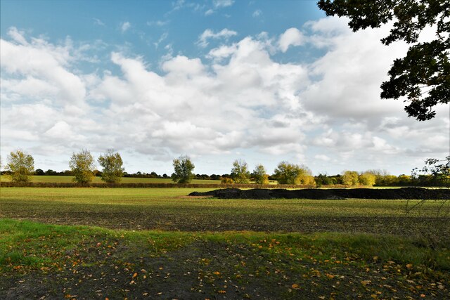
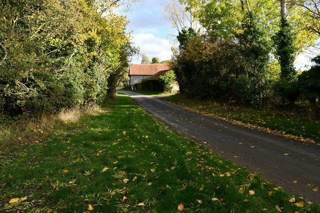
Darrow Wood is a charming woodland located in Norfolk, England. Spanning over a vast area, this forest is a haven for nature enthusiasts and a popular recreational spot for locals and tourists alike. The wood is situated in the heart of Norfolk, surrounded by picturesque countryside and rolling hills.
Darrow Wood is known for its diverse ecosystem, consisting of a variety of tree species, including oak, beech, and pine. These towering trees create a dense canopy, providing shelter for an array of wildlife such as deer, foxes, and various bird species. The forest floor is adorned with vibrant wildflowers and mosses, adding to the natural beauty of the wood.
For outdoor enthusiasts, Darrow Wood offers numerous walking trails that wind through the forest, allowing visitors to explore its hidden gems and discover the tranquility of nature. The well-maintained paths cater to different levels of fitness and provide opportunities for both leisurely strolls and more challenging hikes. Along the way, hikers may encounter babbling brooks, small ponds, and even ancient ruins, adding an element of intrigue to the woodland experience.
Nature lovers can also indulge in birdwatching, as Darrow Wood is home to a variety of bird species, including woodpeckers, owls, and various songbirds. Bird hides and observation points are strategically placed throughout the forest, allowing visitors to observe these magnificent creatures in their natural habitat.
Overall, Darrow Wood is a captivating woodland that offers a wonderful escape from the hustle and bustle of daily life. With its diverse flora and fauna, enchanting trails, and peaceful ambiance, it is no wonder that this forest is a cherished gem in Norfolk's natural landscape.
If you have any feedback on the listing, please let us know in the comments section below.
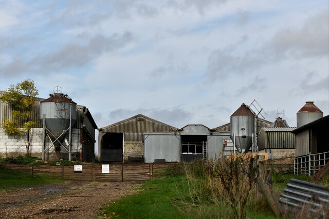
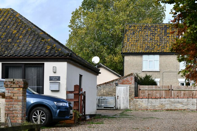
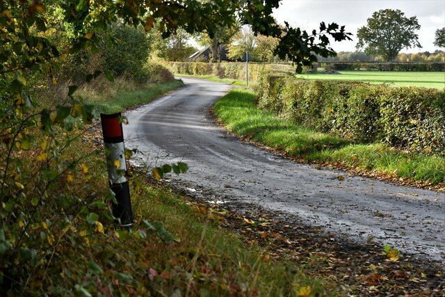
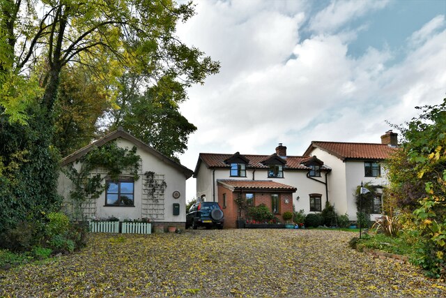
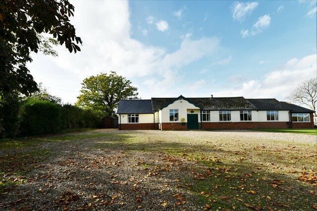
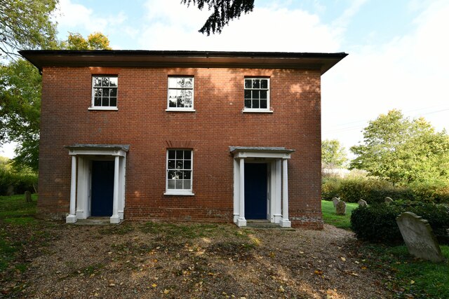
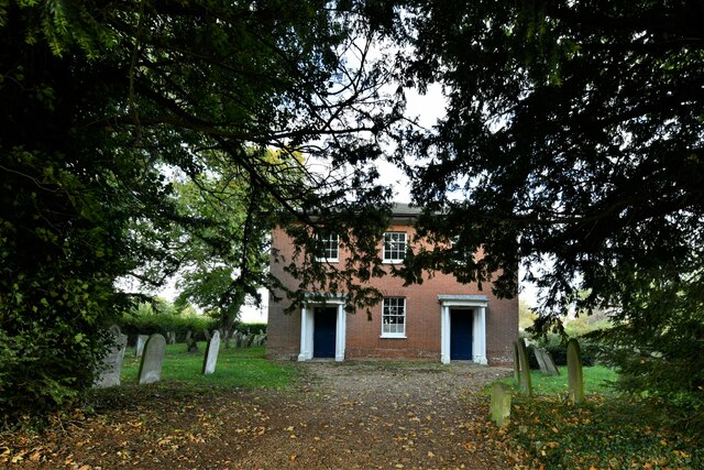
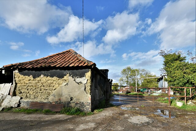
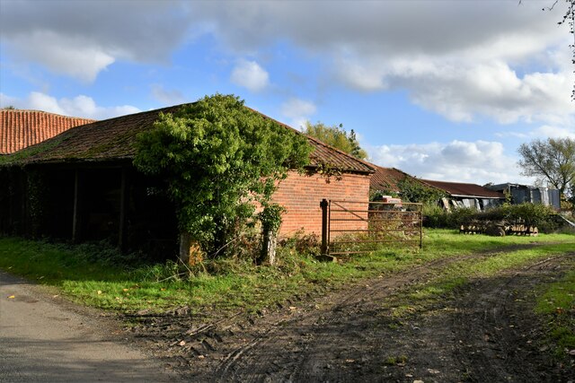
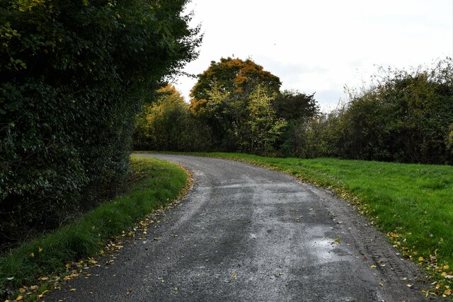
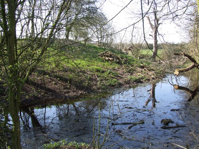
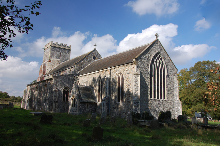
Darrow Wood Images
Images are sourced within 2km of 52.456578/1.3323816 or Grid Reference TM2689. Thanks to Geograph Open Source API. All images are credited.


Darrow Wood is located at Grid Ref: TM2689 (Lat: 52.456578, Lng: 1.3323816)
Administrative County: Norfolk
District: South Norfolk
Police Authority: Norfolk
What 3 Words
///tastier.bonnet.ranches. Near Harleston, Norfolk
Nearby Locations
Related Wikis
Denton Castle
Denton Castle is a motte and bailey castle built in the village of Denton, Norfolk, England. == History == Denton Castle was built after 1088, following...
Denton, Norfolk
Denton is a village and civil parish in the English county of Norfolk. Denton is located 3.8 miles north-east of Harleston and 13 miles south of Norwich...
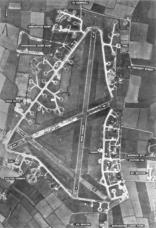
RAF Hardwick
Royal Air Force Hardwick or more simply RAF Hardwick is a former Royal Air Force station located between the Norfolk villages of Topcroft and Hardwick...

Alburgh
Alburgh is a village and civil parish in the English county of Norfolk. It lies about four miles (6 km) north-east of Harleston and 16 miles (26 km) south...

Topcroft
Topcroft is a village and a civil parish in the English county of Norfolk. The village is around 7 miles (11 km) north-west of Bungay and 14 miles (23...
Bedingham
Bedingham is a village and civil parish in the South Norfolk district of Norfolk, England, about 11 miles (18 km) south of Norwich. According to the 2001...

Shelton Hall (Norfolk)
Shelton Hall is a large estate in the village of Shelton, Norfolk, England. The estate has around 72 acres (290,000 m2) of surrounding fields, the names...

Sexton Wood
Sexton Wood is a 40-hectare (99-acre) biological Site of Special Scientific Interest north-west of Ditchingham in Norfolk. It is a Nature Conservation...
Nearby Amenities
Located within 500m of 52.456578,1.3323816Have you been to Darrow Wood?
Leave your review of Darrow Wood below (or comments, questions and feedback).