Darrow Green
Settlement in Norfolk South Norfolk
England
Darrow Green
Darrow Green is a small village located in the county of Norfolk, England. Situated in the eastern part of the country, it is part of the Broadland district and lies approximately 10 miles northwest of the city of Norwich. With a population of around 500 residents, Darrow Green is known for its picturesque countryside and tranquil atmosphere.
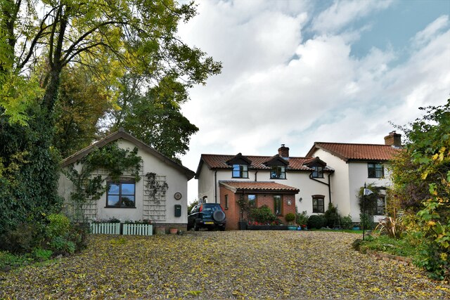
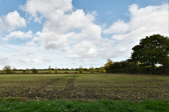
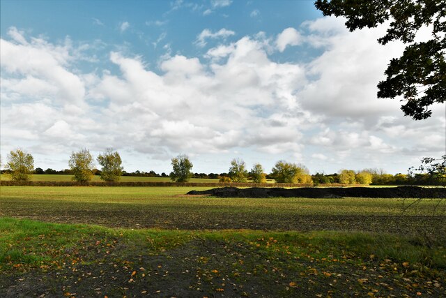
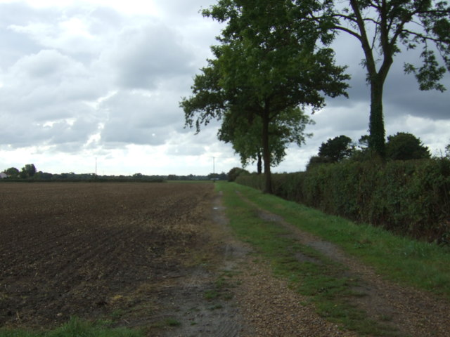
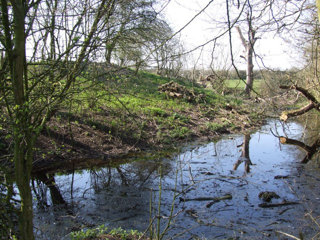
The village is surrounded by lush green fields and is dotted with charming cottages and traditional houses, giving it a quintessential English countryside feel. The nearby River Wensum flows through the area, providing a beautiful backdrop for leisurely walks and opportunities for fishing.
Darrow Green is a close-knit community that prides itself on its strong sense of community spirit. The village has a local pub, The Green Arms, which serves as a popular meeting place for both residents and visitors. Additionally, the village hall hosts various events and gatherings throughout the year, fostering a sense of togetherness among the villagers.
For amenities, residents of Darrow Green have access to a small convenience store that caters to their daily needs. However, for a wider range of services, the nearby town of Aylsham is only a short drive away.
With its idyllic countryside setting and friendly community, Darrow Green offers a peaceful retreat for those seeking a slower pace of life away from the hustle and bustle of city living.
If you have any feedback on the listing, please let us know in the comments section below.
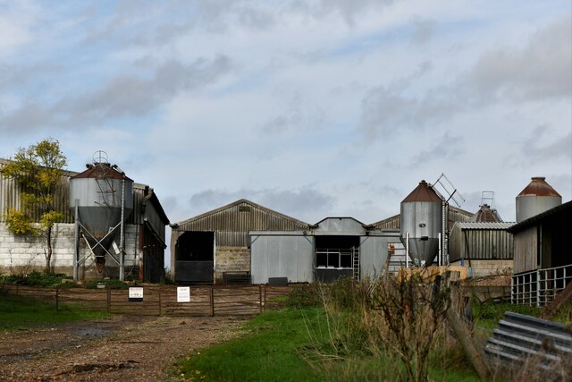
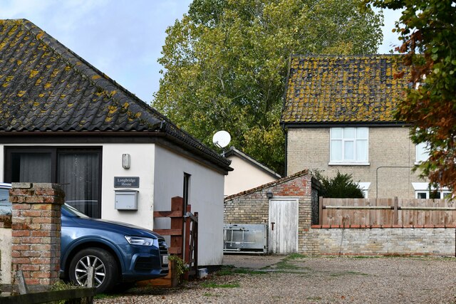
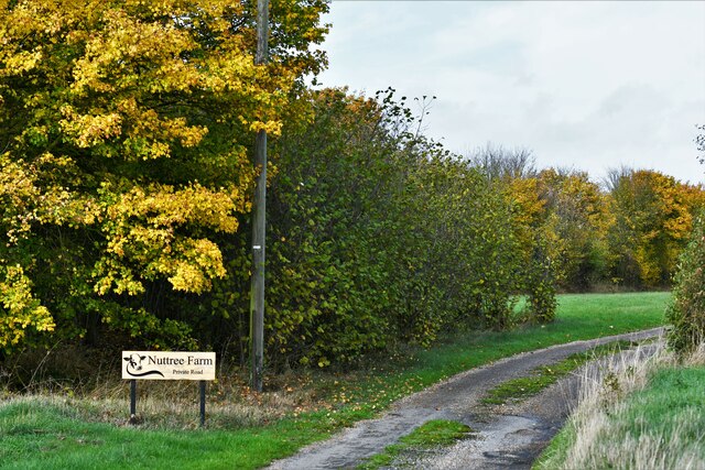
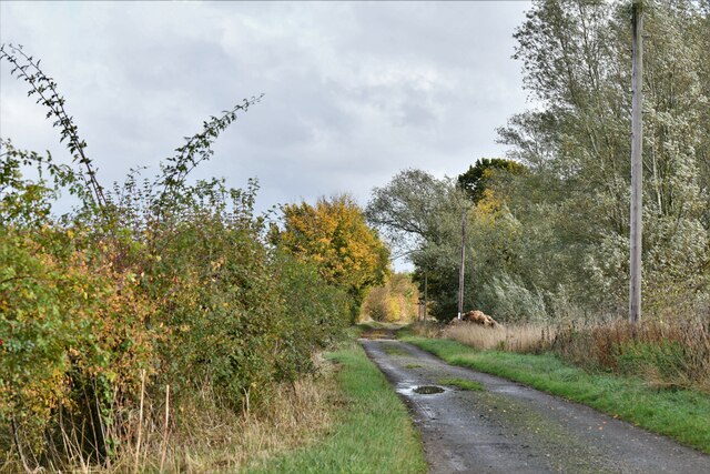
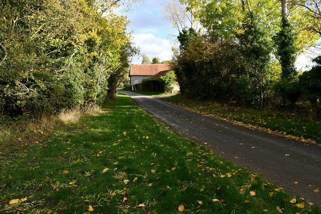
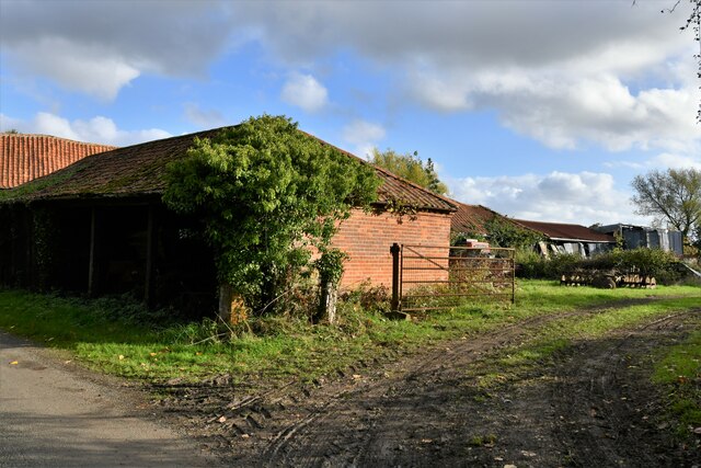
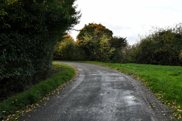
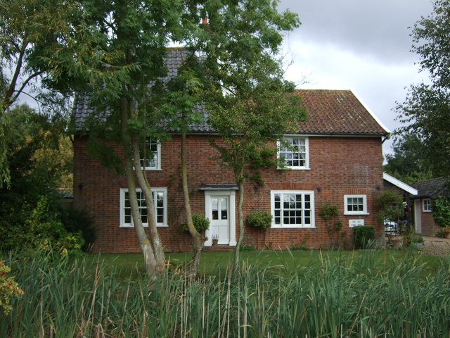
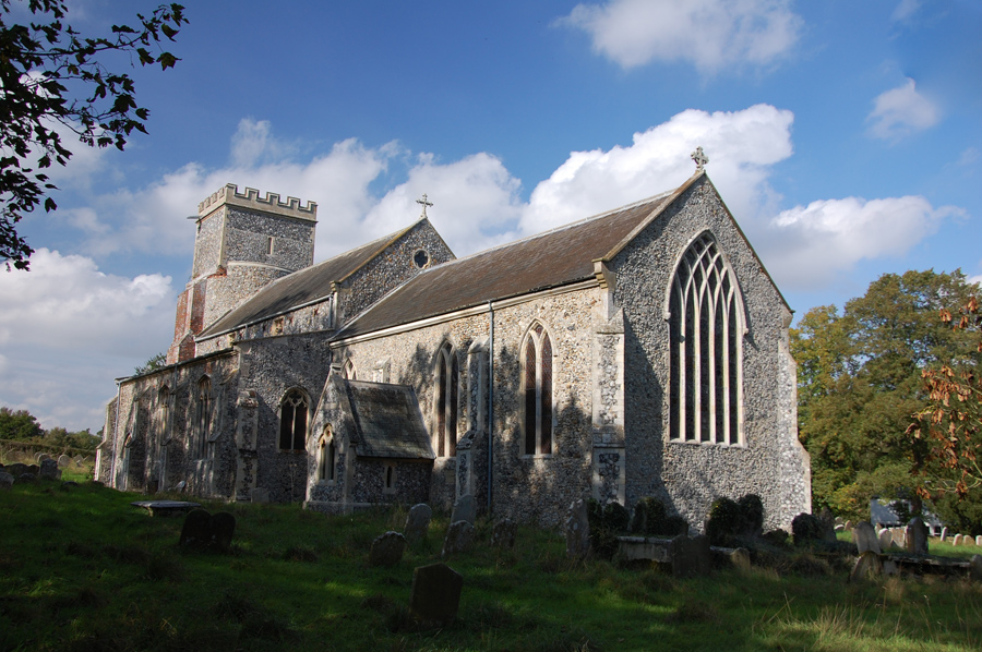
Darrow Green Images
Images are sourced within 2km of 52.456603/1.325727 or Grid Reference TM2689. Thanks to Geograph Open Source API. All images are credited.


Darrow Green is located at Grid Ref: TM2689 (Lat: 52.456603, Lng: 1.325727)
Administrative County: Norfolk
District: South Norfolk
Police Authority: Norfolk
What 3 Words
///marked.join.nerves. Near Harleston, Norfolk
Nearby Locations
Related Wikis
Denton Castle
Denton Castle is a motte and bailey castle built in the village of Denton, Norfolk, England. == History == Denton Castle was built after 1088, following...
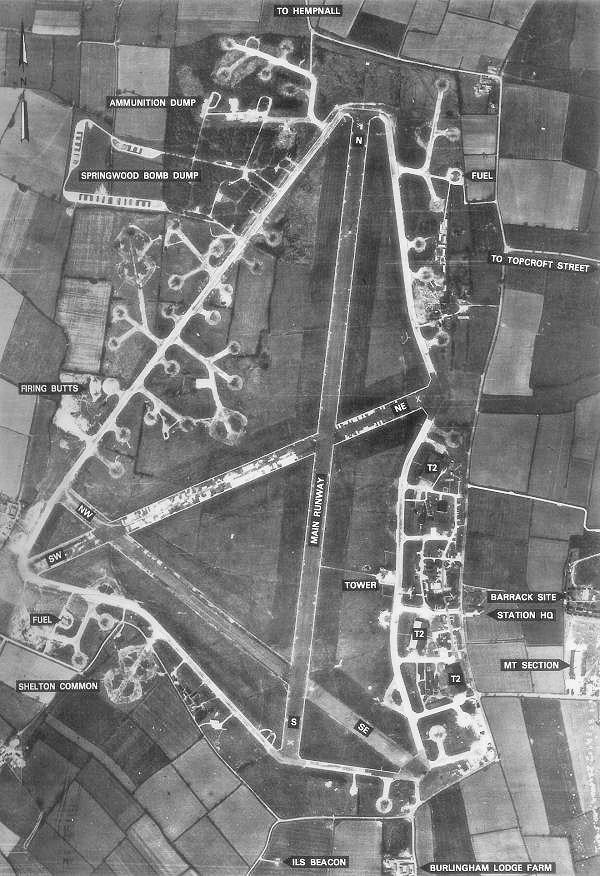
RAF Hardwick
Royal Air Force Hardwick or more simply RAF Hardwick is a former Royal Air Force station located between the Norfolk villages of Topcroft and Hardwick...
Denton, Norfolk
Denton is a village and civil parish in the English county of Norfolk. Denton is located 3.8 miles north-east of Harleston and 13 miles south of Norwich...

Alburgh
Alburgh is a village and civil parish in the English county of Norfolk. It lies about four miles (6 km) north-east of Harleston and 16 miles (26 km) south...
Nearby Amenities
Located within 500m of 52.456603,1.325727Have you been to Darrow Green?
Leave your review of Darrow Green below (or comments, questions and feedback).