Duckpond Plantation

Wood, Forest in Norfolk South Norfolk

England

Duckpond Plantation

Neolithic polished flint axe The axe, which measures 135mm x 60mm and about 6,000 years old, was found close to this spot in 1977.
The general location can be seen here <a title="https://www.geograph.org.uk/photo/6946224" href="https://www.geograph.org.uk/photo/6946224">Link</a>
Neolithic polished flint axe Credit: Adrian S Pye

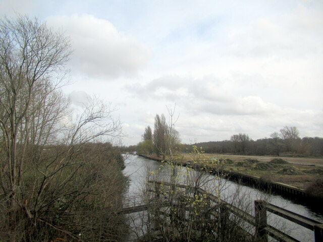
Duckpond Plantation is a picturesque woodland located in Norfolk, England. Situated in the heart of the county, the plantation is known for its serene atmosphere and abundant wildlife. The plantation covers a vast area, encompassing dense woodlands and a charming duckpond, from which it derives its name.

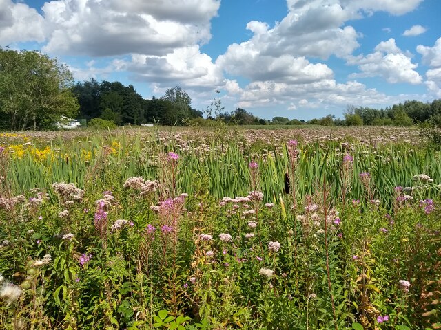
The woodlands of Duckpond Plantation are predominantly made up of various species of trees, including oak, beech, and birch. These trees create a dense canopy, providing shade and shelter to a diverse array of flora and fauna. Walking through the plantation, visitors can admire the vibrant colors of wildflowers that carpet the forest floor during the spring and summer months.

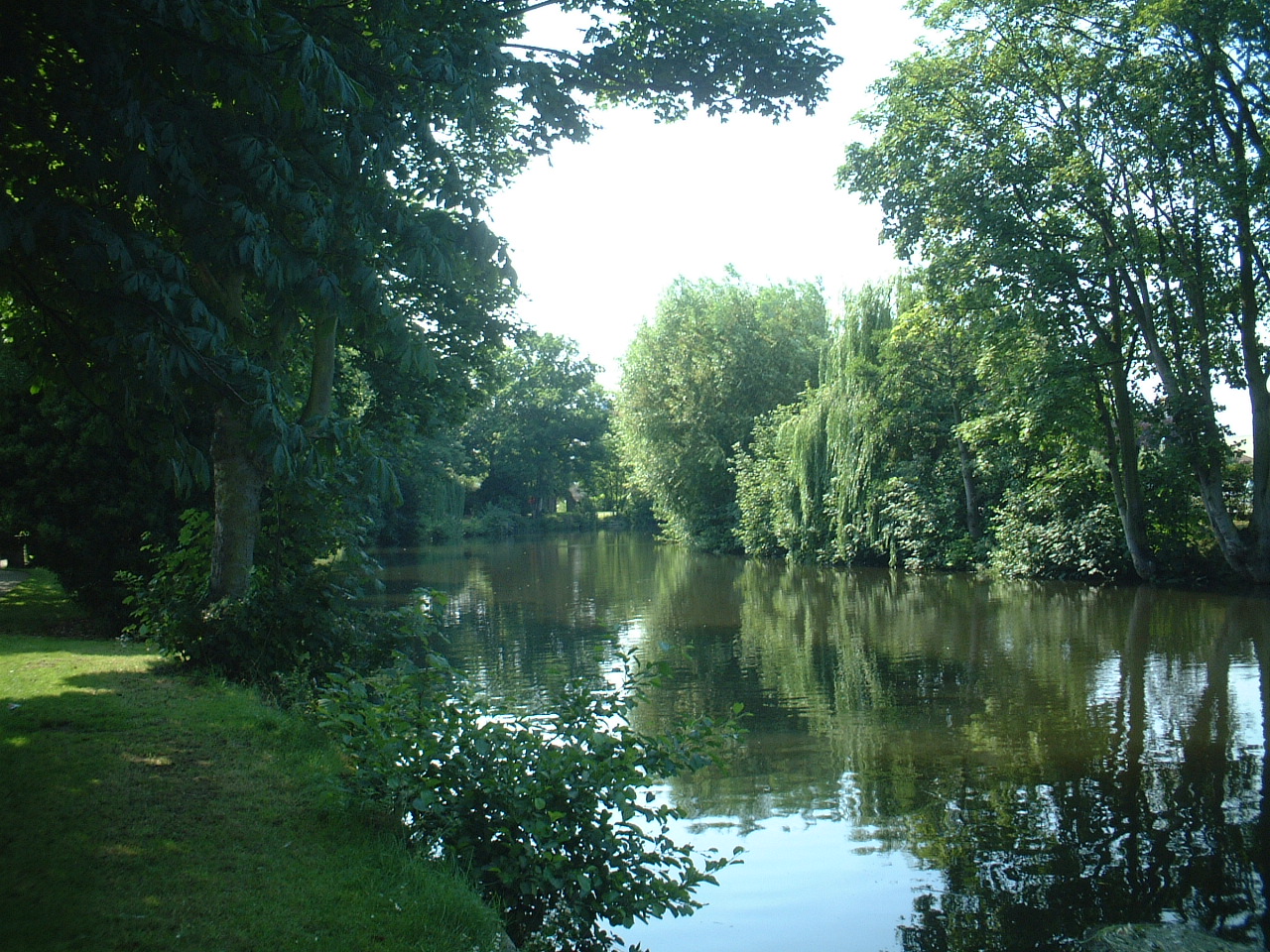
One of the highlights of Duckpond Plantation is the tranquil duckpond, which is home to a variety of waterfowl. Ducks, geese, and swans can often be seen gracefully gliding across the surface of the pond, creating a serene and idyllic scene. The pond also attracts other wildlife, such as dragonflies and frogs, further enhancing the natural beauty of the area.

The plantation offers several walking trails that wind their way through the woodlands, allowing visitors to explore its natural wonders. These trails are well-maintained and provide a peaceful and immersive experience, as well as opportunities for birdwatching and photography.

Duckpond Plantation is a popular destination for nature lovers, hikers, and families looking for a peaceful retreat amidst the beauty of Norfolk's countryside. Its lush woodlands, vibrant wildlife, and serene duckpond make it a true gem in the heart of the county.

If you have any feedback on the listing, please let us know in the comments section below.

Duckpond Plantation Images

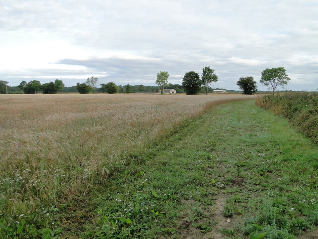
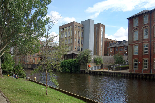
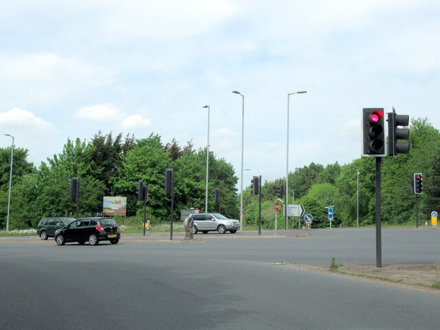
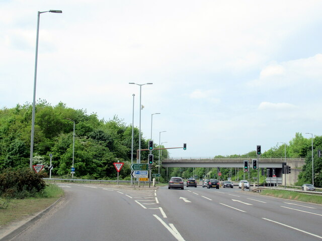
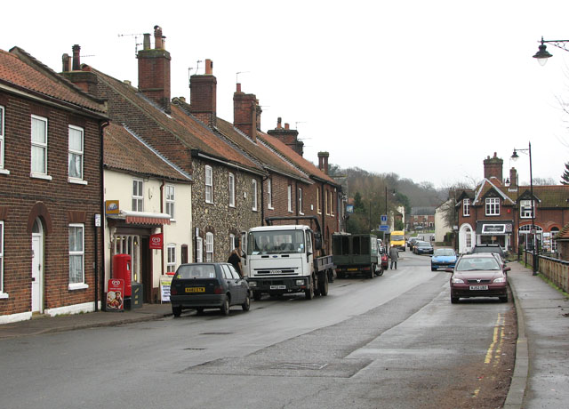
Images are sourced within 2km of 52.61622/1.3364789 or Grid Reference TG2507. Thanks to Geograph Open Source API. All images are credited.

Neolithic polished flint axe The axe, which measures 135mm x 60mm and about 6,000 years old, was found close to this spot in 1977.
The general location can be seen here <a title="https://www.geograph.org.uk/photo/6946224" href="https://www.geograph.org.uk/photo/6946224">Link</a>
Neolithic polished flint axe
The axe, which measures 135mm x 60mm and about 6,000 years old, was found close to this spot in 1977. The general location can be seen here Link
Field headland A polished neolithic flint axe was found in this field in 1977 <a href="https://www.geograph.org.uk/photo/6946221">TG2605 : Neolithic polished flint axe</a>
Field headland
A polished neolithic flint axe was found in this field in 1977 TG2605 : Neolithic polished flint axe
Old and New by the River The River Wensum heads out of Norwich through a former industrial area. On this side, an extensive redevelopment zone is full of new building, but on the other side is the old Colmans Mustard factory where mustard was made for 160 years before production stopped in 2020. 
Colmans Mustard is now made outside the city in a new mill.
Old and New by the River
The River Wensum heads out of Norwich through a former industrial area. On this side, an extensive redevelopment zone is full of new building, but on the other side is the old Colmans Mustard factory where mustard was made for 160 years before production stopped in 2020. Colmans Mustard is now made outside the city in a new mill.
Stadium Car Park Outside Norwich City's Carrow Road Football Ground.
Stadium Car Park
Outside Norwich City's Carrow Road Football Ground.
New Buildings, Geoffrey Watling Way A large area of old industrial buildings is being redeveloped.
Geoffrey Watling was a Norwich businessman and philanthropist, and also former president and chairman of Norwich City football club, whose stadium is a short way behind me.
New Buildings, Geoffrey Watling Way
A large area of old industrial buildings is being redeveloped. Geoffrey Watling was a Norwich businessman and philanthropist, and also former president and chairman of Norwich City football club, whose stadium is a short way behind me.
Building Site, Geoffrey Watling Way Redevelopment of former industrial land near the river.
Building Site, Geoffrey Watling Way
Redevelopment of former industrial land near the river.
Old Factory by the River Industrial buildings by the River Wensum.
Colman's Mustard was made here for 160 years up to 2020 when production moved to a new out of town site.
Old Factory by the River
Industrial buildings by the River Wensum. Colman's Mustard was made here for 160 years up to 2020 when production moved to a new out of town site.
Carrow Road Football Ground Norwich City Football Club, the home of The Canaries, viewed looking toward the South Stand.
Carrow Road Football Ground
Norwich City Football Club, the home of The Canaries, viewed looking toward the South Stand.
New homes in central Norwich New blocks of flats on Geoffrey Watling Way using former industrial land. More building work is already under way.
New homes in central Norwich
New blocks of flats on Geoffrey Watling Way using former industrial land. More building work is already under way.
Norwich: Telegraph Lane East
Thorpe Marshes Nature Reserve
Yellow Iris, Thorpe Marshes Nature Reserve
War Grave of George William West RASC Driver George William West was the son of Edmund and Gertrude West, of Lakenham. He married Amy Elizabeth Newitt in 1939 and lived at Hill Cottages in Whitlingham. He served as a driver in the RASC, 593 Transport Coy, and in the Ammunition Column for 33rd Brigade. He was injured and returned home where he died 13th September 1943. He is buried in Thorpe (St Andrew) Church Cemetery extension. His memorial can be seen here <a title="https://www.geograph.org.uk/photo/6590004" href="https://www.geograph.org.uk/photo/6590004">Link</a>
War Grave of George William West RASC Driver
George William West was the son of Edmund and Gertrude West, of Lakenham. He married Amy Elizabeth Newitt in 1939 and lived at Hill Cottages in Whitlingham. He served as a driver in the RASC, 593 Transport Coy, and in the Ammunition Column for 33rd Brigade. He was injured and returned home where he died 13th September 1943. He is buried in Thorpe (St Andrew) Church Cemetery extension. His memorial can be seen here Link
Tarmac Trowse Asphalt Plant, Norwich
Stock of Asphalt at Tarmac Trowse, Norwich
The River Yare from Trowse bridge
The B1332 junction with the A146 approaching Norwich
The A146 joining the A47 at Norwich
Show me another place!

Duckpond Plantation is located at Grid Ref: TG2507 (Lat: 52.61622, Lng: 1.3364789)

Administrative County: Norfolk

District: South Norfolk

Police Authority: Norfolk

What 3 Words

///player.dunes.probe. Near Thorpe Hamlet, Norfolk

Related Wikis

Thorpe rail accident

The Thorpe rail accident occurred on 10 September 1874 when two trains were involved in a head-on collision at Thorpe St Andrew, Norfolk, England.The accident...

Norwich Rowing Club

Norwich Rowing Club is a rowing club on the River Yare based at Whitlingham Boathouses, Whitlingham Lane, Trowse, Norwich and is affiliated to British...

River Wensum

The River Wensum is a chalk river in Norfolk, England and a tributary of the River Yare, despite being the larger of the two rivers. The river is a biological...

Trowse

Trowse (pronounced by those from Norwich and by elderly residents of the village), also called Trowse with Newton, is a village in South Norfolk which...

Nearby Amenities

Located within 500m of 52.61622,1.3364789
HP Gas
Pipeline: marker
Type: gas
Lat/Long: 52.6178475/1.3301404
Colour: red and white
Marker: aerial
Utility: gas
Lat/Long: 52.6146305/1.3371422
Colour: red and white
Marker: aerial
Utility: gas
Lat/Long: 52.6146725/1.3366094
Colour: red and white
Marker: aerial
Utility: gas
Lat/Long: 52.6146244/1.3371253
The data included in this document is from www.openstreetmap.org. The data is made available under ODbL.

Have you been to Duckpond Plantation?

Leave your review of Duckpond Plantation below (or comments, questions and feedback).