Dallinghoo Wood
Wood, Forest in Suffolk East Suffolk
England
Dallinghoo Wood

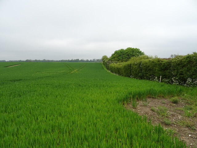
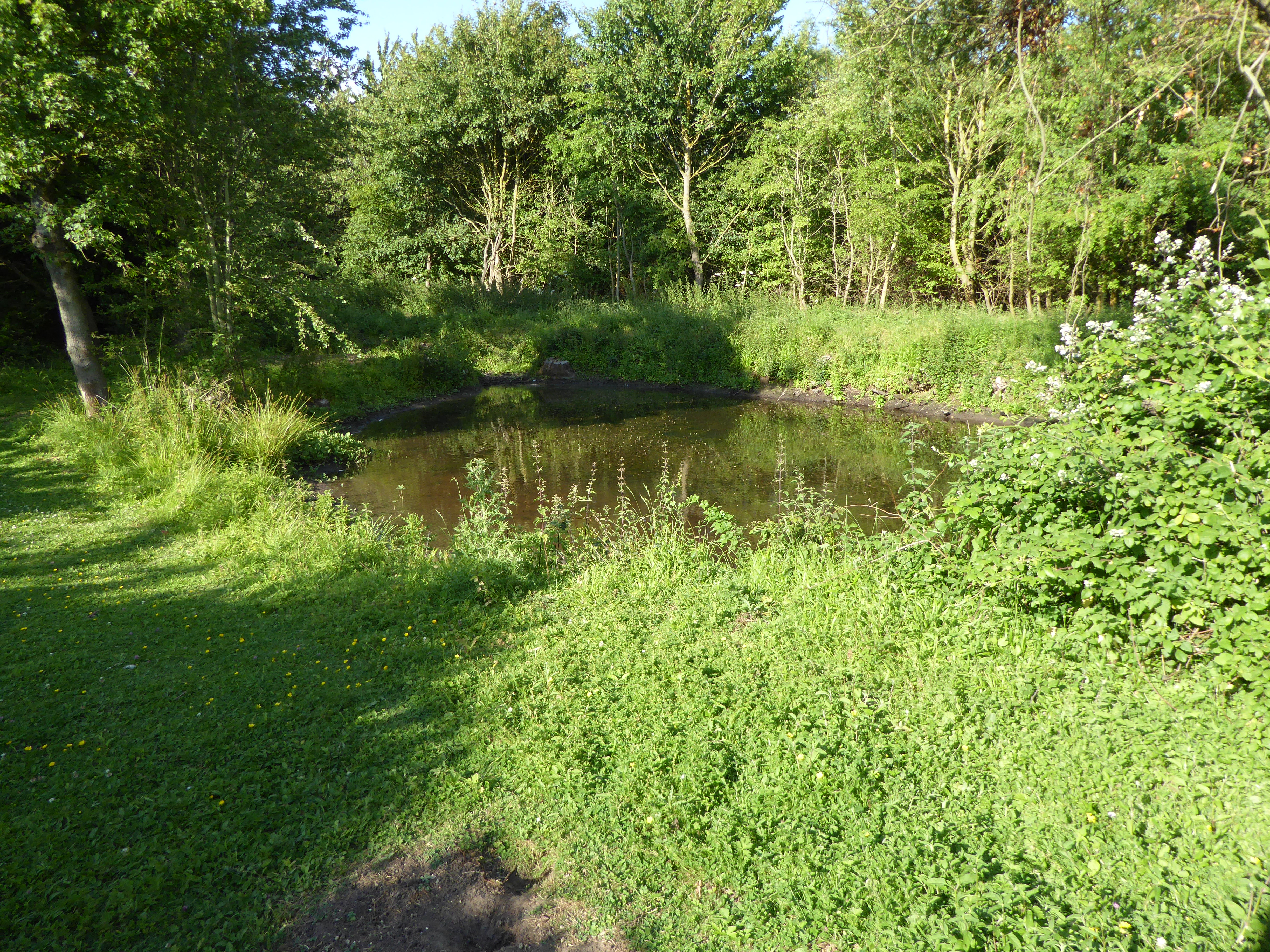
Dallinghoo Wood is a picturesque woodland located in Suffolk, England. Covering an area of approximately 100 acres, it is a captivating mix of ancient and semi-natural woodland. The wood is situated near the village of Dallinghoo, just a few miles northeast of Woodbridge.
This woodland boasts a rich biodiversity, with a diverse range of flora and fauna. The canopy is predominantly composed of oak and beech trees, along with pockets of ash, birch, and hazel. These majestic trees create a dense and enchanting forest atmosphere, providing shade and shelter for a variety of wildlife.
Walking through Dallinghoo Wood, one can encounter a plethora of wildlife species. Birds such as woodpeckers, owls, and various songbirds can be heard singing their melodious tunes. Small mammals like deer, foxes, and badgers can occasionally be spotted, while various species of butterflies and insects flutter around the undergrowth.
The wood is also home to a network of winding footpaths and trails, making it an ideal destination for nature lovers and hikers. Visitors can immerse themselves in the tranquil surroundings, enjoying the sights and sounds of the woodland. The changing seasons bring their own charm to Dallinghoo Wood, with vibrant displays of bluebells in spring and a riot of colors during the autumn foliage.
Dallinghoo Wood offers a peaceful retreat from the hustle and bustle of everyday life, providing a serene and captivating experience for those who venture into its depths.
If you have any feedback on the listing, please let us know in the comments section below.
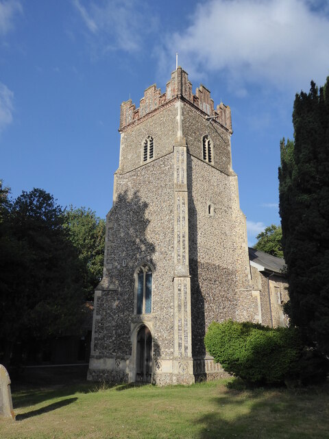
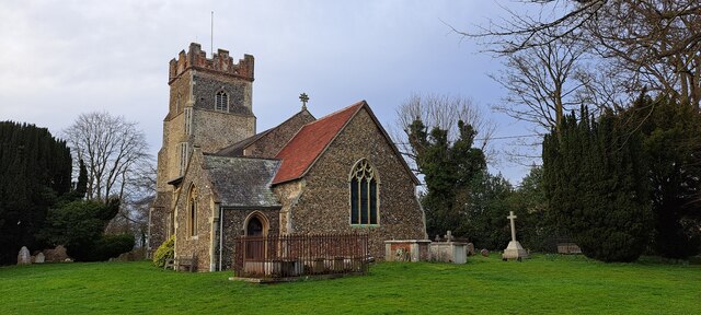
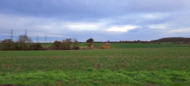
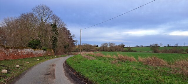
Dallinghoo Wood Images
Images are sourced within 2km of 52.143285/1.2995529 or Grid Reference TM2554. Thanks to Geograph Open Source API. All images are credited.


Dallinghoo Wood is located at Grid Ref: TM2554 (Lat: 52.143285, Lng: 1.2995529)
Administrative County: Suffolk
District: East Suffolk
Police Authority: Suffolk
What 3 Words
///equivocal.imparting.converged. Near Wickham Market, Suffolk
Nearby Locations
Related Wikis

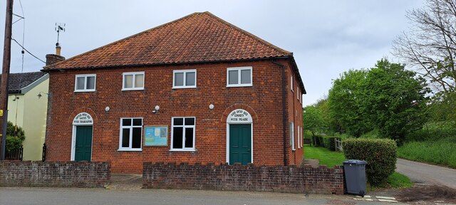
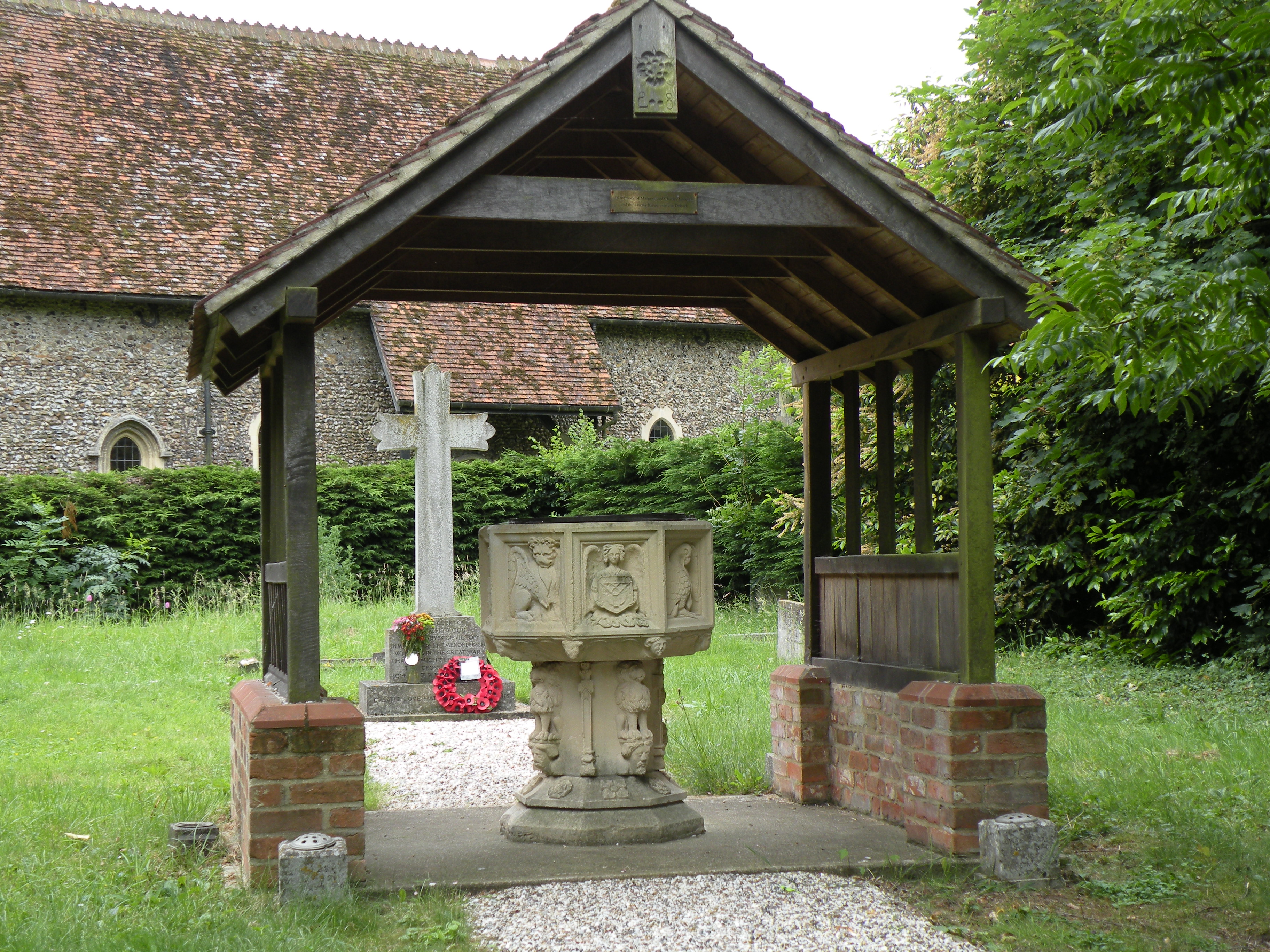
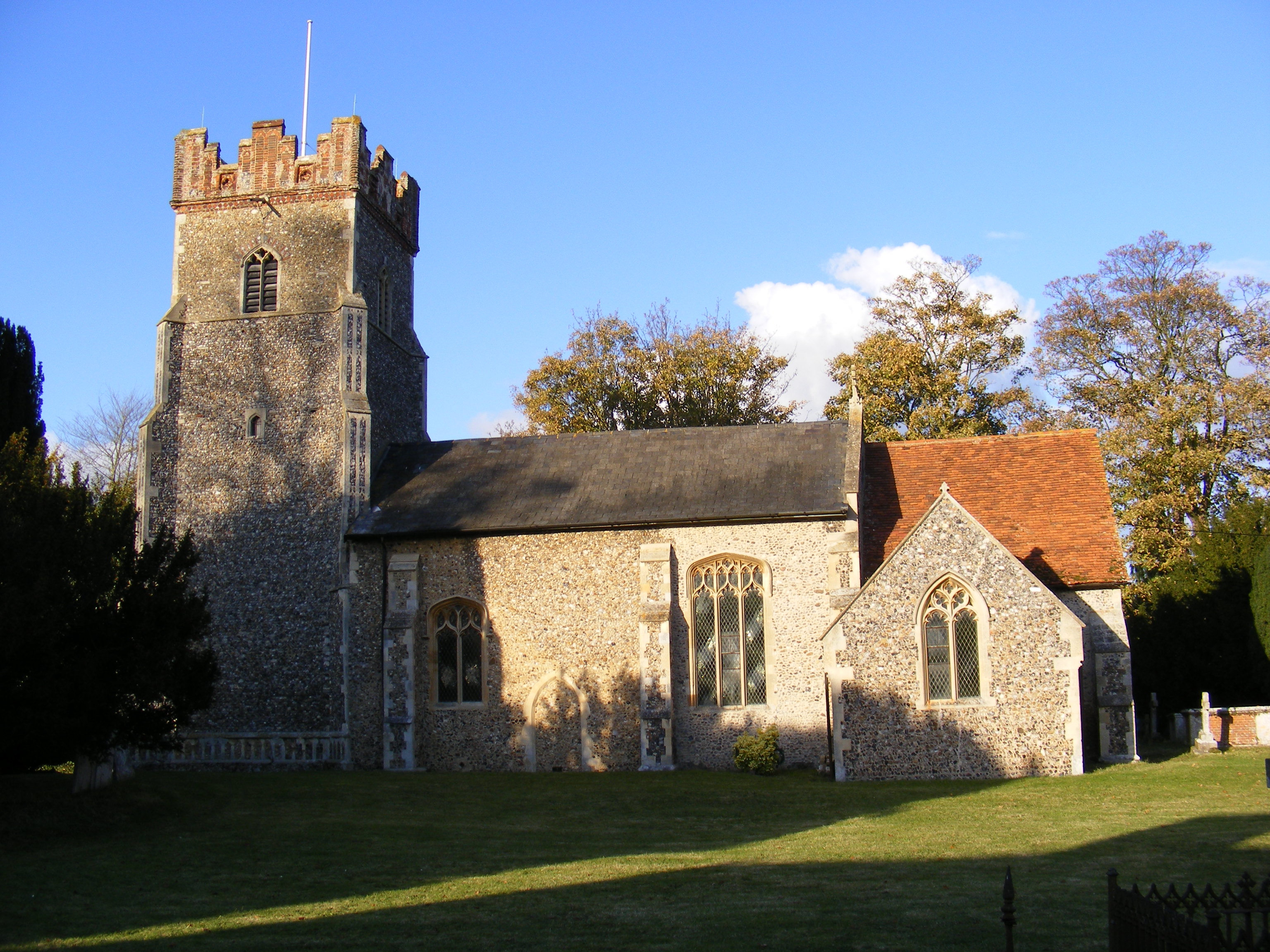
Dallinghoo
Dallinghoo is a village about three miles (5 km) north of Woodbridge, Suffolk, England. == Location == Dallinghoo is formed from Church Road to the west...
Debach
Debach is a small village about four miles northwest of Woodbridge, Suffolk, UK. == History == At the time of the Domesday Book, 1086, it was called Debenbeis...

Boulge
Boulge is a hamlet and civil parish in the East Suffolk district of Suffolk, England. It is about 3 miles (5 km) north of Woodbridge. The population remained...
Bredfield
Bredfield is a small village and civil parish in the English county of Suffolk. It is situated just off the A12, two miles north of Woodbridge. Another...

Charsfield
Charsfield is a small Suffolk village of 342 residents, 3 miles (4.8 km) from Wickham Market, 7 miles (11 km) from Woodbridge and 12 miles (19 km) from...
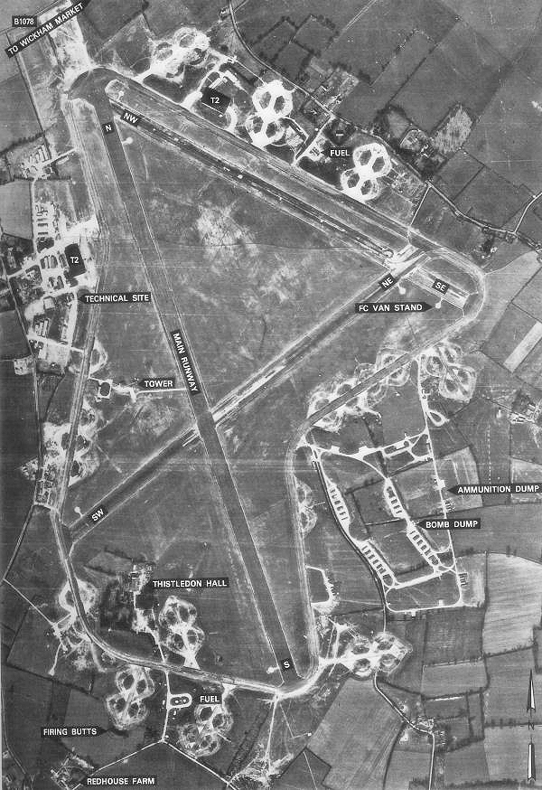
RAF Debach
Royal Air Force Debach or more simply RAF Debach is a former Royal Air Force station located at Debach, 3 miles (4.8 km) northwest of Woodbridge, Suffolk...
Foxburrow Farm
Foxburrow Farm is a 67 hectare nature reserve north of Melton in Suffolk. It is managed by the Suffolk Wildlife Trust.Part of this site is a working farm...

Manor of Byng
The Manor of Byng is a former manorial estate located in the county of Suffolk, UK. The manor house is the 16th-century Byng Hall. The manor is located...
Have you been to Dallinghoo Wood?
Leave your review of Dallinghoo Wood below (or comments, questions and feedback).