Creasy's Grove
Wood, Forest in Norfolk South Norfolk
England
Creasy's Grove
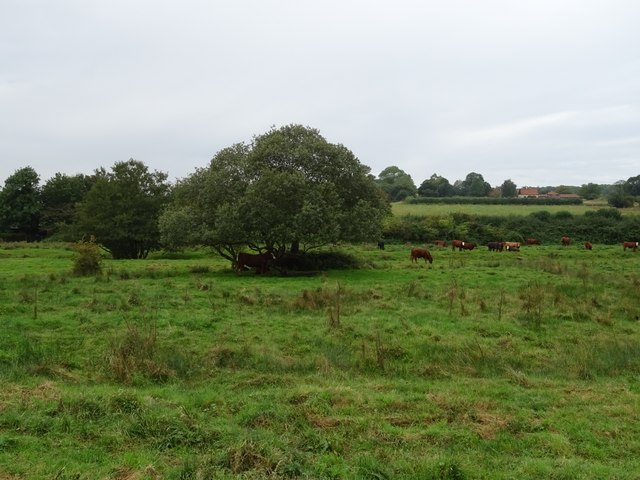
Creasy's Grove is a picturesque woodland located in Norfolk, England. This enchanting forest is nestled within the verdant countryside, making it a popular destination for nature enthusiasts and outdoor adventurers. Covering an area of approximately 100 acres, Creasy's Grove is characterized by its diverse range of trees, including oak, beech, ash, and birch.
The grove is renowned for its tranquil atmosphere, providing visitors with a serene escape from the hustle and bustle of everyday life. A network of well-maintained trails weaves through the forest, allowing visitors to explore its beauty at their own pace. Along these trails, visitors can discover a variety of native flora and fauna, including vibrant wildflowers, mushrooms, and small mammals like squirrels and rabbits.
The grove is also home to a diverse bird population, attracting birdwatchers from near and far. Species such as woodpeckers, robins, and thrushes can be spotted amidst the dense foliage, creating a symphony of birdsong that adds to the enchantment of the grove.
Creasy's Grove is not only a haven for wildlife but also a recreational paradise for visitors. The forest offers several picnic areas, allowing families and friends to gather and enjoy a meal surrounded by nature's beauty. Additionally, there are designated camping spots for those who wish to spend a night under the starry Norfolk sky.
Overall, Creasy's Grove is a captivating woodland that offers a tranquil escape and a chance to experience the natural wonders of Norfolk. Its diverse trees, abundant wildlife, and well-maintained trails make it an ideal destination for nature lovers and outdoor enthusiasts.
If you have any feedback on the listing, please let us know in the comments section below.
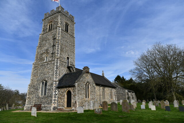
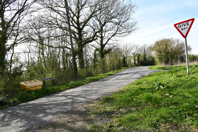
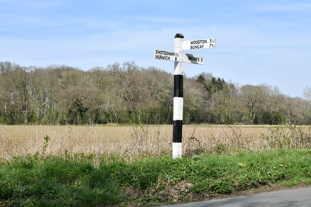
Creasy's Grove Images
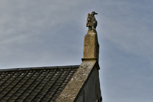
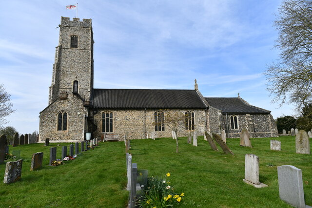
Images are sourced within 2km of 52.543481/1.3293621 or Grid Reference TM2599. Thanks to Geograph Open Source API. All images are credited.


Creasy's Grove is located at Grid Ref: TM2599 (Lat: 52.543481, Lng: 1.3293621)
Administrative County: Norfolk
District: South Norfolk
Police Authority: Norfolk
What 3 Words
///prepares.jumbled.centrally. Near Brooke, Norfolk
Nearby Locations
Related Wikis

Shotesham
Shotesham () is a village in South Norfolk which lies approximately 5 miles south of Norwich. It sits next to Stoke Holy Cross and Saxlingham Nethergate...

Howe, Norfolk
Howe is a village and civil parish in South Norfolk, England. It is situated between Poringland, Brooke and Shotesham. It covers an area of 3.20 km2...

Shotesham Common
Shotesham Common is a 21.6-hectare (53-acre) biological Site of Special Scientific Interest south of Norwich in Norfolk. This site consists of traditionally...
Poringland
Poringland is a village in the district of South Norfolk, England. It lies 5 miles (8.0 km) south of Norwich city centre and 10 miles (16 km) north of...
Nearby Amenities
Located within 500m of 52.543481,1.3293621Have you been to Creasy's Grove?
Leave your review of Creasy's Grove below (or comments, questions and feedback).