Frogshall Plantation

Wood, Forest in Norfolk North Norfolk

England

Frogshall Plantation

Accreting beach south of Overstrand Most of the area is eroding, but the beach here is almost to the top of the wooden baffles and a small area of sand dunes are forming at the base of the cliffs.
Accreting beach south of Overstrand Credit: Hugh Venables

Frogshall Plantation is a unique woodland located in Norfolk, England. Covering an area of approximately 250 acres, it is renowned for its diverse flora and fauna, making it a haven for nature enthusiasts and wildlife lovers.

The plantation boasts an impressive collection of over 30 different species of trees, including oak, beech, birch, and pine. These trees provide a rich habitat for a variety of woodland creatures such as deer, foxes, badgers, and a wide range of bird species. The tranquil atmosphere of the woodland is further enhanced by the presence of a gentle stream that winds its way through the plantation, providing a water source for the wildlife.

Visitors to Frogshall Plantation can explore its well-maintained network of walking trails, which offer panoramic views of the surrounding countryside. The trails are suitable for all ages and fitness levels, with options for shorter strolls or longer hikes. Along the way, visitors can discover hidden clearings, ancient monuments, and even a small pond teeming with aquatic life.

Frogshall Plantation is also home to a variety of rare plant species, including several orchids that bloom in the spring and summer months. Botany enthusiasts will delight in the opportunity to observe and learn about these unique plants in their natural habitat.

Overall, Frogshall Plantation offers a peaceful and educational experience for visitors, allowing them to connect with nature and appreciate the beauty of Norfolk's woodlands.

If you have any feedback on the listing, please let us know in the comments section below.

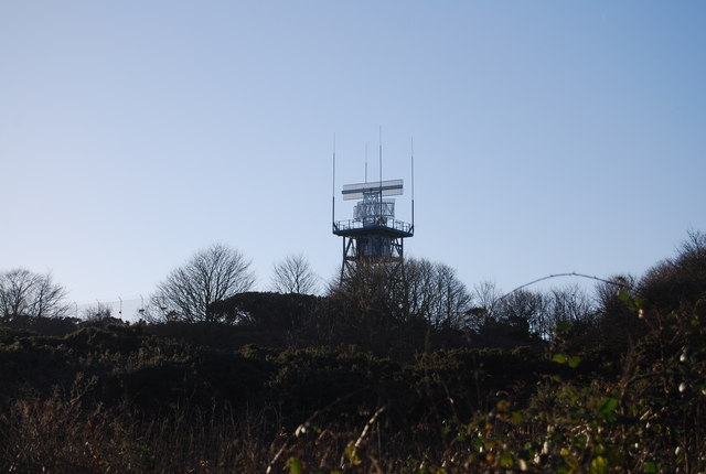
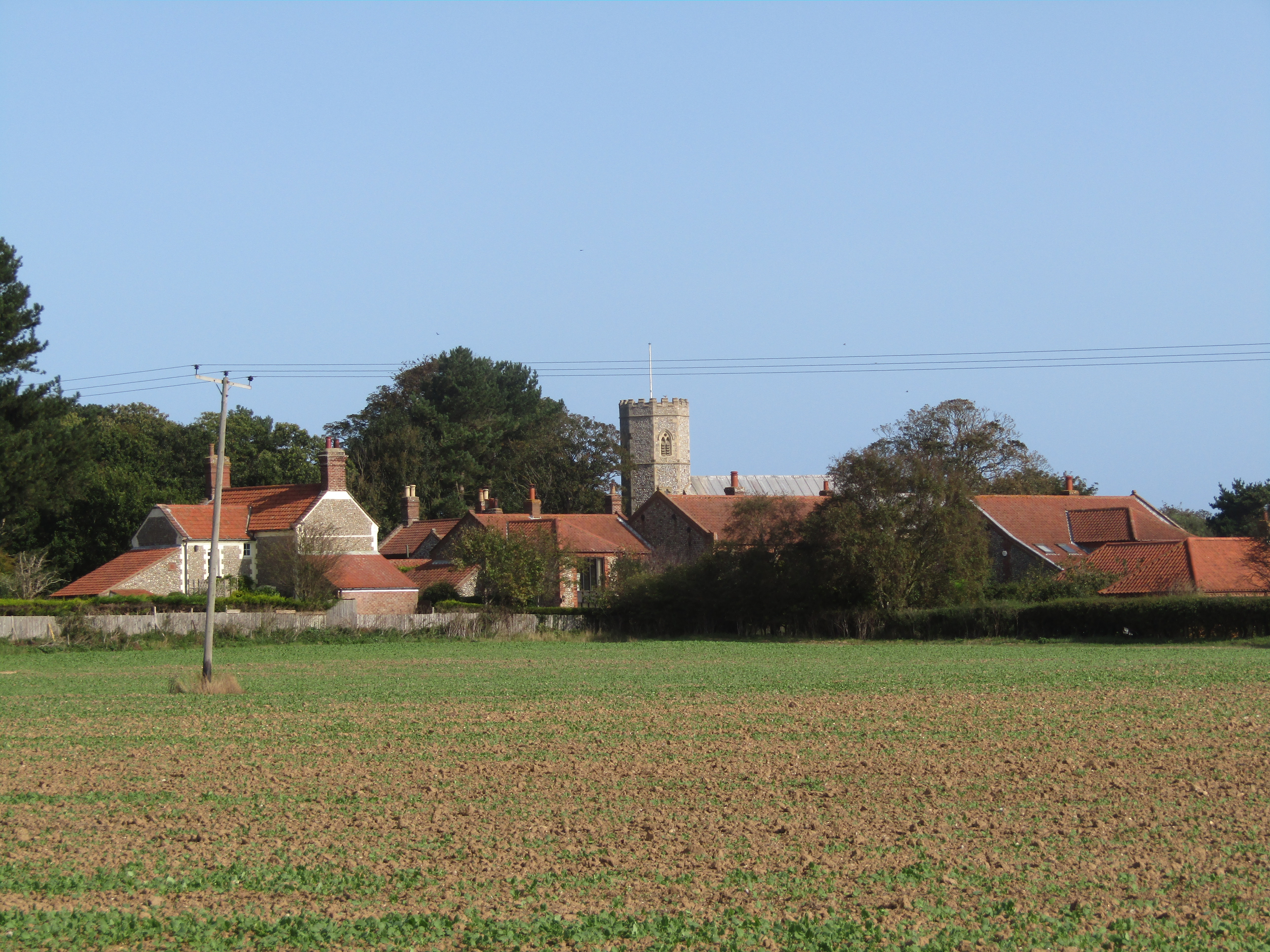
Frogshall Plantation Images

Images are sourced within 2km of 52.895614/1.3467347 or Grid Reference TG2538. Thanks to Geograph Open Source API. All images are credited.

Accreting beach south of Overstrand Most of the area is eroding, but the beach here is almost to the top of the wooden baffles and a small area of sand dunes are forming at the base of the cliffs.
Accreting beach south of Overstrand
Most of the area is eroding, but the beach here is almost to the top of the wooden baffles and a small area of sand dunes are forming at the base of the cliffs.
Accreting beach south of Overstrand
Eroding cliffs near Sidestrand
Wooden baffle remains
Chalk exposed under the beach
Disused railway, Quiet Lane, Overstrand This track goes past the National Air Traffic Services radio station and finishes as Madam Lane in Northrepps.
Disused railway, Quiet Lane, Overstrand
This track goes past the National Air Traffic Services radio station and finishes as Madam Lane in Northrepps.
Flower child in "Quiet Lane", Overstrand This lane goes to Northrepps.
A child was seen with a bunch of over 20 kinds of wildflowers gathered in the lane.
Flower child in "Quiet Lane", Overstrand
This lane goes to Northrepps. A child was seen with a bunch of over 20 kinds of wildflowers gathered in the lane.
Coast Rd
Coast Rd
Telephone Kiosk, Mundesley Rd The iconic red telephone kiosk was the result of a competition in 1924 to design a telephone box suitable for London Metropolitan Boroughs. A design by Giles Gilbert Scott, a British Architect, was chosen. The box, to be known as the K2 was deployed in London in 1926. The post office suggested it be painted red.

The K6 was introduced in 1935, designed to commemorate the silver jubilee of King George V. It was a smaller version of the K2, and went on to be installed prolifically around the country. It is the most recognised and iconic telephone box, that many people around  the world are familiar with. The first K6 is still to be found outside the Royal Academy of Art in London.

Other versions of the red telephone box were designed and implemented but none were ever to survive the popularity of the K6.

Over 240,000 red telephone boxes were built between the 1920s and 1980s.
BT had replaced many red telephone boxes during the 1980s and 90s with the aluminium KX100, leading to English Heritage to designate over 2000 as listed structures. Only 9400 K6's remain. 

BT offered councils to 'adopt-a-kiosk' for £1 to keep local K6's in place. Many have found alternate uses as mini libraries/book exchanges & art galleries, and even for storage of heart defibrillators.
Telephone Kiosk, Mundesley Rd
The iconic red telephone kiosk was the result of a competition in 1924 to design a telephone box suitable for London Metropolitan Boroughs. A design by Giles Gilbert Scott, a British Architect, was chosen. The box, to be known as the K2 was deployed in London in 1926. The post office suggested it be painted red. The K6 was introduced in 1935, designed to commemorate the silver jubilee of King George V. It was a smaller version of the K2, and went on to be installed prolifically around the country. It is the most recognised and iconic telephone box, that many people around the world are familiar with. The first K6 is still to be found outside the Royal Academy of Art in London. Other versions of the red telephone box were designed and implemented but none were ever to survive the popularity of the K6. Over 240,000 red telephone boxes were built between the 1920s and 1980s. BT had replaced many red telephone boxes during the 1980s and 90s with the aluminium KX100, leading to English Heritage to designate over 2000 as listed structures. Only 9400 K6's remain. BT offered councils to 'adopt-a-kiosk' for £1 to keep local K6's in place. Many have found alternate uses as mini libraries/book exchanges & art galleries, and even for storage of heart defibrillators.
Flnt built house, Mundesley Rd Flint is a form of silica or Silicon Dioxide (SiO2). It is found extensively in chalky areas around the country, where it is often used as a building material, due to its hardness. Many of Britain's beaches, especially on the south coast, are composed of flint.
Website on flint  <span class="nowrap"><a title="http://en.wikipedia.org/wiki/Flint" rel="nofollow ugc noopener" href="http://en.wikipedia.org/wiki/Flint">Link</a><img style="margin-left:2px;" alt="External link" title="External link - shift click to open in new window" src="https://s1.geograph.org.uk/img/external.png" width="10" height="10"/></span>
Flnt built house, Mundesley Rd
Flint is a form of silica or Silicon Dioxide (SiO2). It is found extensively in chalky areas around the country, where it is often used as a building material, due to its hardness. Many of Britain's beaches, especially on the south coast, are composed of flint. Website on flint LinkExternal link
Mundesley Rd
Mundesley Rd
Manor Farm
Manor Farm
Radar Station
Radar Station
Paston Way The Paston Way is a 20 mile long walk from Cromer to North Walsham in Norfolk
Wikipedia: <span class="nowrap"><a title="http://en.wikipedia.org/wiki/Paston_Way" rel="nofollow ugc noopener" href="http://en.wikipedia.org/wiki/Paston_Way">Link</a><img style="margin-left:2px;" alt="External link" title="External link - shift click to open in new window" src="https://s1.geograph.org.uk/img/external.png" width="10" height="10"/></span>
Paston Way
The Paston Way is a 20 mile long walk from Cromer to North Walsham in Norfolk Wikipedia: LinkExternal link
Disused railway bridge over Paston Way This line is now disused. 
It opened in 1898. In 1953 the line from Mundesley to Cromer closed. In 1964 the remainder of the route closed.
Wikipedia: <span class="nowrap"><a title="http://en.wikipedia.o" rel="nofollow ugc noopener" href="http://en.wikipedia.o">Link</a><img style="margin-left:2px;" alt="External link" title="External link - shift click to open in new window" src="https://s1.geograph.org.uk/img/external.png" width="10" height="10"/></span>. rg/wiki/Norfolk_and_Suffolk_Joint_Railway
Disused railway bridge over Paston Way
This line is now disused. It opened in 1898. In 1953 the line from Mundesley to Cromer closed. In 1964 the remainder of the route closed. Wikipedia: LinkExternal link. rg/wiki/Norfolk_and_Suffolk_Joint_Railway
Disused railway bridge over Paston Way The Paston Way is a 20 mile long walk from Cromer to North Walsham in Norfolk
Wikipedia: <span class="nowrap"><a title="http://en.wikipedia.org/wiki/Paston_Way" rel="nofollow ugc noopener" href="http://en.wikipedia.org/wiki/Paston_Way">Link</a><img style="margin-left:2px;" alt="External link" title="External link - shift click to open in new window" src="https://s1.geograph.org.uk/img/external.png" width="10" height="10"/></span>
Disused railway bridge over Paston Way
The Paston Way is a 20 mile long walk from Cromer to North Walsham in Norfolk Wikipedia: LinkExternal link
Radar Station
Radar Station
Woodland south of Overstrand
Show me another place!

Frogshall Plantation is located at Grid Ref: TG2538 (Lat: 52.895614, Lng: 1.3467347)

Administrative County: Norfolk

District: North Norfolk

Police Authority: Norfolk

What 3 Words

///splinters.natural.pulps. Near Overstrand, Norfolk

Related Wikis

Frogshall

Frogshall is a small hamlet within the civil parish of Northrepps in the English county of Norfolk. The hamlet is 5.2 miles (8.4 km) southeast of Cromer...

Northrepps

Northrepps is a village and a civil parish in the English county of Norfolk. It is 3.4 miles (5.5 km) southeast of Cromer, 22.2 miles (35.7 km) north of...

Sidestrand Halt railway station

Sidestrand Halt was a railway station on the Norfolk and Suffolk Joint Railway which briefly served the Norfolk coastal village of Sidestrand from 1936...

Sidestrand

Sidestrand is a village and a civil parish on the coast of the English county of Norfolk. The village is 23.7 mi (38.1 km) north of Norwich, 3.3 mi (5...

Nearby Amenities

Located within 500m of 52.895614,1.3467347
Frogshall
Place: hamlet
Wikidata: Q5505307
Lat/Long: 52.8954506/1.3449922
Post Box
Collection Times: Mo-Fr 16:00; Sa 08:30
Post Box Type: wall
Ref: NR27 2716
Royal Cypher: GVIR
Royal Cypher Wikidata: Q33102169
Lat/Long: 52.894739/1.3491671
Post Box
Note: Collection times not visible on plate
Operator: Royal Mail
Post Box Type: wall
Ref: NR27 2714
Royal Cypher: VR
Royal Cypher Wikidata: Q33102356
Lat/Long: 52.8981501/1.3422095
The data included in this document is from www.openstreetmap.org. The data is made available under ODbL.

Have you been to Frogshall Plantation?

Leave your review of Frogshall Plantation below (or comments, questions and feedback).