Bear's Covert
Wood, Forest in Norfolk North Norfolk
England
Bear's Covert

Bear's Covert, located in Norfolk, England, is a picturesque woodland area known for its enchanting beauty and diverse wildlife. Spread across a sprawling expanse, the forest is a captivating destination for nature enthusiasts and those seeking tranquility amidst the natural world.
The wood encompasses a mix of deciduous and coniferous trees, creating a lush and vibrant environment. Tall oak, beech, and ash trees dominate the landscape, providing a dense canopy that filters sunlight and creates a soothing ambiance. The forest floor is adorned with a rich carpet of mosses, ferns, and wildflowers, adding to the area's visual appeal.
Bear's Covert is home to a wide range of animal species, making it a haven for wildlife lovers. Visitors can spot deer gracefully grazing amidst the trees, while squirrels scamper playfully along the branches. The forest is also a haven for numerous bird species, including woodpeckers, owls, and thrushes, which fill the air with their melodic songs.
The woodland offers an extensive network of walking trails, allowing visitors to explore its hidden treasures at their own pace. Whether wandering through sun-dappled glades or following the babbling streams that wind through the wood, there is an endless array of natural wonders to discover.
For those seeking a peaceful retreat, Bear's Covert is the ideal destination. The serene atmosphere, coupled with the soothing sounds of nature, provides a respite from the hustle and bustle of everyday life. Whether enjoying a leisurely picnic or simply immersing oneself in the beauty of the surroundings, this woodland sanctuary offers a truly unforgettable experience.
If you have any feedback on the listing, please let us know in the comments section below.
Bear's Covert Images
Images are sourced within 2km of 52.910424/1.329237 or Grid Reference TG2339. Thanks to Geograph Open Source API. All images are credited.


Bear's Covert is located at Grid Ref: TG2339 (Lat: 52.910424, Lng: 1.329237)
Administrative County: Norfolk
District: North Norfolk
Police Authority: Norfolk
What 3 Words
///nips.blunt.pyramid. Near Overstrand, Norfolk
Nearby Locations
Related Wikis
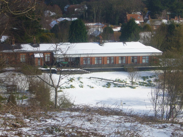
Overstrand railway station
Overstrand railway station was a station in North Norfolk on the Norfolk and Suffolk Joint Railway, serving the settlement of Overstrand. It opened on...
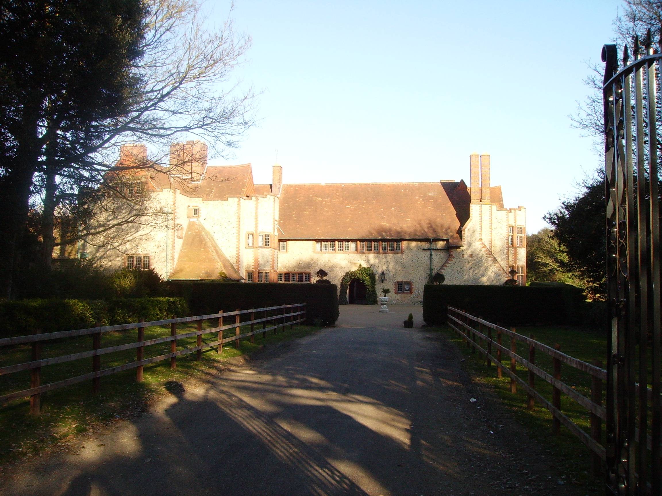
Overstrand Hall
Overstrand Hall is a country house in Overstrand, Norfolk, England, designed by Edwin Lutyens for Charles William Mills, 2nd Baron Hillingdon, a partner...

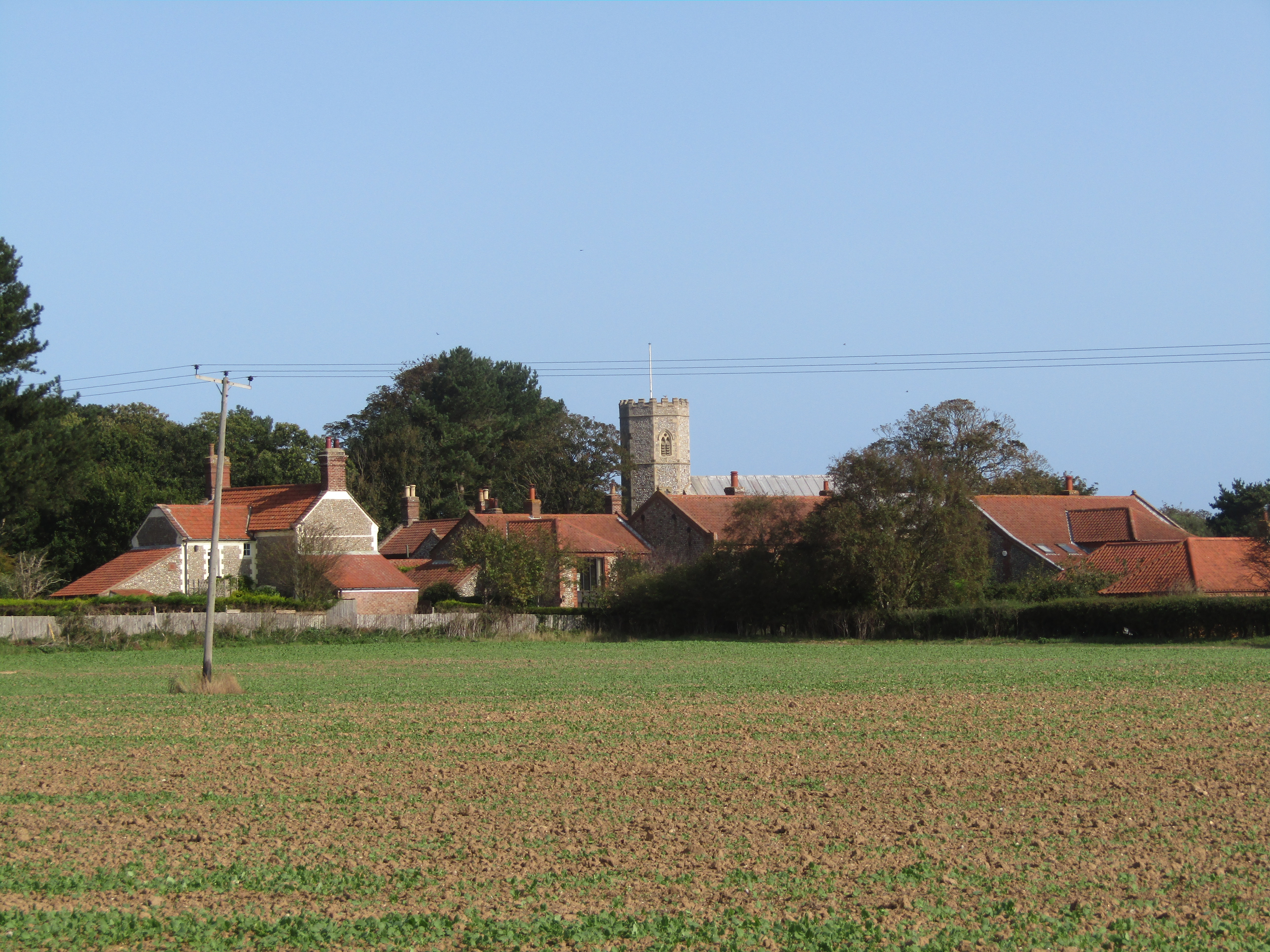
Northrepps
Northrepps is a village and a civil parish in the English county of Norfolk. It is 3.4 miles (5.5 km) southeast of Cromer, 22.2 miles (35.7 km) north of...

Overstrand Cliffs
Overstrand Cliffs is a 57.8-hectare (143-acre) biological and geological Site of Special Scientific Interest in Cromer in Norfolk. It is a Special Area...
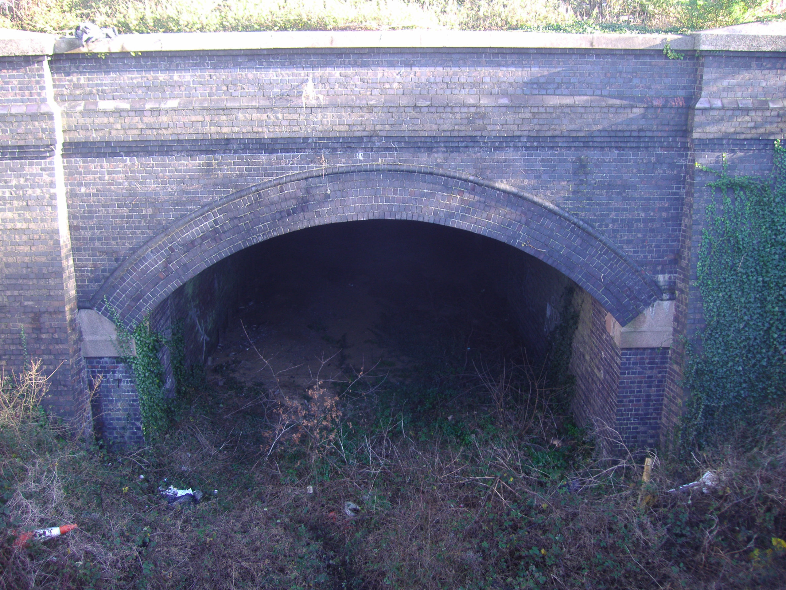
Cromer Tunnel
The Cromer Tunnel was built by the Norfolk and Suffolk Joint Railway to take their Cromer Beach to Mundesley line under the Great Eastern's Cromer High...

Cromer Lighthouse
Cromer Lighthouse is situated in the coastal town of Cromer, in the English county of Norfolk. == History == There has been a lighthouse on the cliff top...

Sidestrand Halt railway station
Sidestrand Halt was a railway station on the Norfolk and Suffolk Joint Railway which briefly served the Norfolk coastal village of Sidestrand from 1936...
Sidestrand
Sidestrand is a village and a civil parish on the coast of the English county of Norfolk. The village is 23.7 mi (38.1 km) north of Norwich, 3.3 mi (5...
Nearby Amenities
Located within 500m of 52.910424,1.329237Have you been to Bear's Covert?
Leave your review of Bear's Covert below (or comments, questions and feedback).