Notre Dame Wood

Wood, Forest in Norfolk South Norfolk

England

Notre Dame Wood

The A47 west approaching junction with A140
The A47 west approaching junction with A140 Credit: Roy Hughes

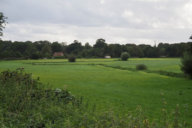
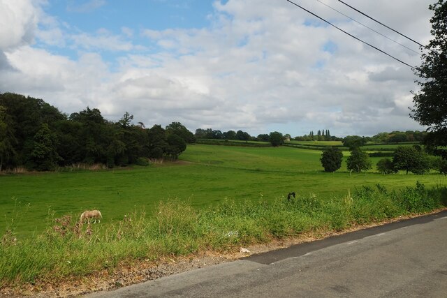
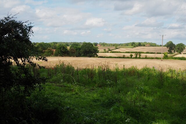
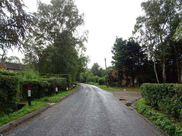
Notre Dame Wood, located in Norfolk, England, is a picturesque woodland area known for its natural beauty and diverse flora and fauna. Covering an area of approximately 100 acres, the wood is a popular destination for nature enthusiasts and walkers alike.

The woodland is characterized by its dense canopy of trees, primarily consisting of oak, beech, and birch, which provide a vibrant and colorful display throughout the year. These trees not only create a serene and tranquil atmosphere but also offer a habitat for various bird species, including woodpeckers, owls, and songbirds.

The forest floor is adorned with a rich carpet of bluebells, wild garlic, and other wildflowers, offering a stunning visual spectacle during the spring months. The undergrowth is also home to a diverse range of wildlife, such as foxes, squirrels, and deer.

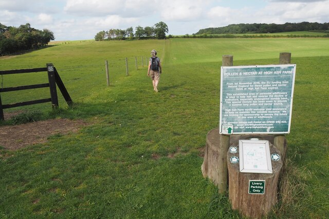
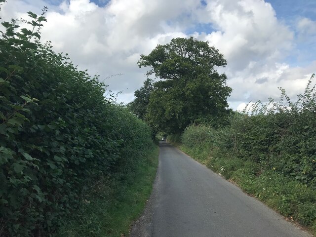
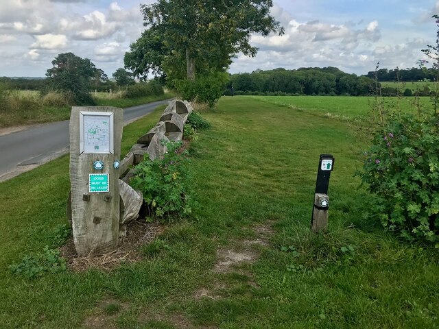
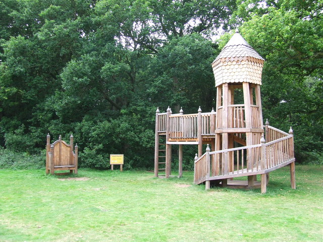
The wood features several well-maintained footpaths, allowing visitors to explore its beauty at their own pace. These paths wind through ancient trees and lead to secluded clearings, providing an ideal setting for a peaceful picnic or a moment of reflection.

Notre Dame Wood is managed by a local conservation group, which ensures the preservation of its natural habitats and promotes sustainable practices. The wood also serves as an educational resource, with guided tours and workshops available to teach visitors about the importance of woodland conservation and the unique ecosystem it supports.

Overall, Notre Dame Wood offers a serene escape from the hustle and bustle of everyday life, inviting visitors to immerse themselves in the beauty of nature and discover the wonders of Norfolk's woodlands.

If you have any feedback on the listing, please let us know in the comments section below.

Notre Dame Wood Images

Images are sourced within 2km of 52.577567/1.2975776 or Grid Reference TG2302. Thanks to Geograph Open Source API. All images are credited.

The A47 west approaching junction with A140
Keswick: A47 bridge over the Ipswich Road roundabout
A small tributary of the River Tas Meanders across a field.
A small tributary of the River Tas
Meanders across a field.
Road junction at Caistor St Edmund With a rather dull village sign see <a href="https://www.geograph.org.uk/photo/6797396">TG2303 : Caistor St Edmund village sign</a>
Road junction at Caistor St Edmund
With a rather dull village sign see TG2303 : Caistor St Edmund village sign
Horse in a field by Broken Back Plantation
Former wildflower field It appears that with the loss of EU funding the field has reverted to a grass monoculture.  The farm still maintains the concessionary walks and as of posting their website is still live <span class="nowrap"><a title="https://www.highashfarm.com/_files/ugd/fff082_d6472f8475a545759d5d20b6c1ecc567.pdf" rel="nofollow ugc noopener" href="https://www.highashfarm.com/_files/ugd/fff082_d6472f8475a545759d5d20b6c1ecc567.pdf">Link</a><img style="margin-left:2px;" alt="External link" title="External link - shift click to open in new window" src="https://s1.geograph.org.uk/img/external.png" width="10" height="10"/></span>
Former wildflower field
It appears that with the loss of EU funding the field has reverted to a grass monoculture. The farm still maintains the concessionary walks and as of posting their website is still live LinkExternal link
Field at Valley Farm With a view over to some houses on Caistor Lane.
Field at Valley Farm
With a view over to some houses on Caistor Lane.
Bus stop shelter and K6 phone box At Upper Stoke crossroads.  The Telephone box is not listed and now houses a defibrillator.
Bus stop shelter and K6 phone box
At Upper Stoke crossroads. The Telephone box is not listed and now houses a defibrillator.
Chandler Road Looking more like a lane.
Chandler Road
Looking more like a lane.
Concessionary path next to Wash Lane Part of a network of paths around High Ash Farm <span class="nowrap"><a title="https://www.highashfarm.com/_files/ugd/fff082_d6472f8475a545759d5d20b6c1ecc567.pdf" rel="nofollow ugc noopener" href="https://www.highashfarm.com/_files/ugd/fff082_d6472f8475a545759d5d20b6c1ecc567.pdf">Link</a><img style="margin-left:2px;" alt="External link" title="External link - shift click to open in new window" src="https://s1.geograph.org.uk/img/external.png" width="10" height="10"/></span>.
Concessionary path next to Wash Lane
Part of a network of paths around High Ash Farm LinkExternal link.
Abandoned farm machinery Beside a footpath near Caistor St Edmund.
Abandoned farm machinery
Beside a footpath near Caistor St Edmund.
Grazing, Caistor St Edmund
Farm track (footpath) off Stoke Road
Stoke Road into Caistor St Edmund
Grazing beside Foxes' Grove
Caistor Lane, Caistor St Edmund
Heading east on Caistor Lane
Grazing towards Broken Back Plantation
Show me another place!

Notre Dame Wood is located at Grid Ref: TG2302 (Lat: 52.577567, Lng: 1.2975776)

Administrative County: Norfolk

District: South Norfolk

Police Authority: Norfolk

What 3 Words

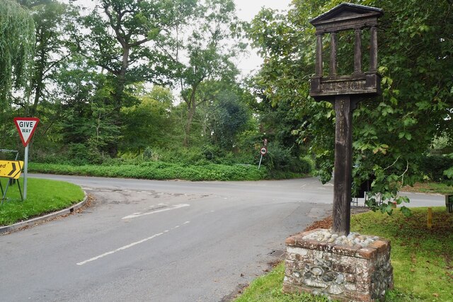
///snap.blackouts.wing. Near Poringland, Norfolk

Nearby Locations

Notre Dame Wood

Related Wikis

Venta Icenorum

Venta Icenorum (Classical Latin: [ˈwɛnta ɪkeːˈnoːrũː], literally "marketplace of the Iceni") was the civitas or capital of the Iceni tribe, located at...

Stoke Holy Cross

Stoke Holy Cross is a village in South Norfolk which lies approximately 4 miles (6.4 km) south of Norwich. == Geography == Stoke sits on the River Tas...

Dunston, Norfolk

Dunston is a village in the civil parish of Stoke Holy Cross, in the South Norfolk district, in the county of Norfolk, England. It is located in the valley...

Dunston Common

Dunston Common is a 3.8-hectare (9.4-acre) Local Nature Reserve south of Norwich in Norfolk. It is owned and managed by South Norfolk District Council...

Nearby Amenities

Located within 500m of 52.577567,1.2975776
Passing Place
Lat/Long: 52.5780415/1.3037784
Crossing
Crossing: unmarked
Lat/Long: 52.5804461/1.3011866
Barrier: stile
Bicycle: yes
Foot: yes
Material: wood
Stile: stepover
Lat/Long: 52.5766815/1.2922975
Barrier: kissing_gate
Bicycle: no
Foot: yes
Lat/Long: 52.5812396/1.2933065
Barrier: kissing_gate
Bicycle: no
Foot: yes
Material: wood
Lat/Long: 52.5813433/1.293637
Bench
Backrest: yes
Material: wood
Seats: 2
Lat/Long: 52.5786822/1.3008208
Bench
Backrest: yes
Material: wood
Seats: 2
Lat/Long: 52.5786948/1.3008209
Bus Stop
Chandler Road, opp
Naptan AtcoCode: 2900C033
Naptan Bearing: N
Naptan BusStopType: CUS
Naptan CommonName: Chandler Road
Naptan Indicator: opp
Naptan Landmark: Chandler Road
Naptan Locality: Caistor St Edmund
Naptan NaptanCode: nfoajawm
Naptan PlusbusZoneRef: NRCH
Naptan ShortCommonName: Chandler Road
Naptan Street: Stoke Road
Naptan Verified: no
Source: naptan_import
Lat/Long: 52.5788738/1.2931695
County Monument 234
Board Type: history
Description: Anglo-Saxon Cemetery burial site and finds
Information: board
Tourism: information
Lat/Long: 52.58071/1.2977456
Bench
Backrest: no
Material: wood
Note: Cut tree section
Lat/Long: 52.5807126/1.2972036
Waste Basket
Check Date: 2021-05-23
Waste: litter
Lat/Long: 52.5810521/1.2934693
Bench
Backrest: yes
Material: wood
Seats: 2
Lat/Long: 52.5786701/1.3008191
Barrier: bollard
Lat/Long: 52.5786408/1.3008425
Barrier: bollard
Lat/Long: 52.5786445/1.3008264
Bench
Backrest: yes
Material: wood
Seats: 2
Lat/Long: 52.5786604/1.3008167
Anglo-Saxon Burial Ground
Historic: archaeological_site
Lat/Long: 52.5810967/1.2972438
Board Type: history
Information: board
Tourism: information
Lat/Long: 52.5812235/1.2932658
Waste Basket
Waste: dog_excrement
Lat/Long: 52.5813512/1.2936294
Colour: yellow
Marker: post
Utility: gas
Lat/Long: 52.5780623/1.2927045
Colour: yellow
Marker: post
Material: concrete
Utility: gas
Lat/Long: 52.578476/1.3006254
Bench
Backrest: no
Material: wood
Lat/Long: 52.5783707/1.3006367
Cafe
Little Miss Latte Coffee Van
Opening Hours: Sa-Su 10:00-15:00
Phone: 07710183024
Takeaway: only
Lat/Long: 52.5783752/1.300691
Power: pole
Lat/Long: 52.5758627/1.2907694
The data included in this document is from www.openstreetmap.org. The data is made available under ODbL.

Have you been to Notre Dame Wood?

Leave your review of Notre Dame Wood below (or comments, questions and feedback).