Sallett's Plantation
Wood, Forest in Norfolk South Norfolk
England
Sallett's Plantation
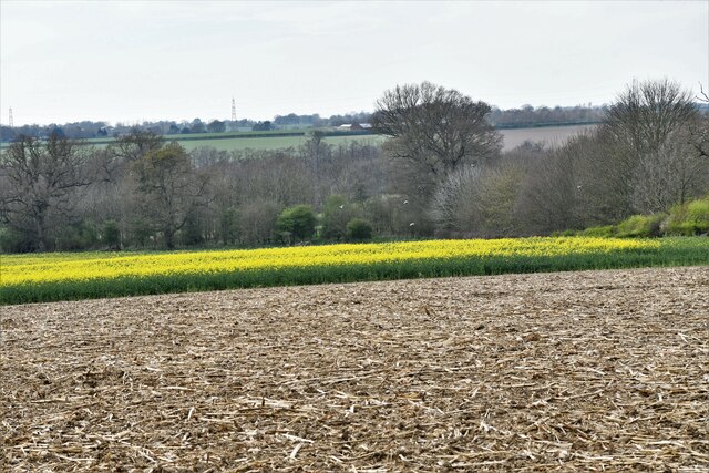
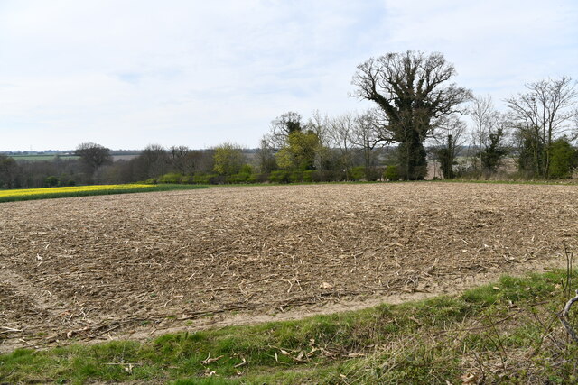
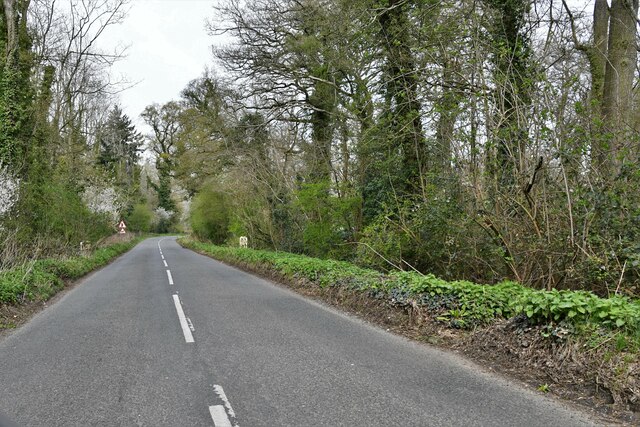
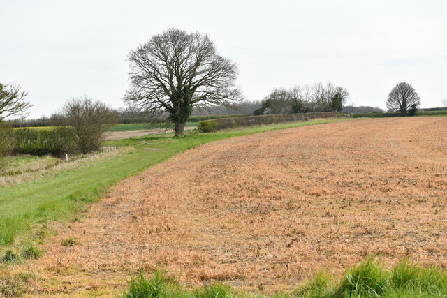
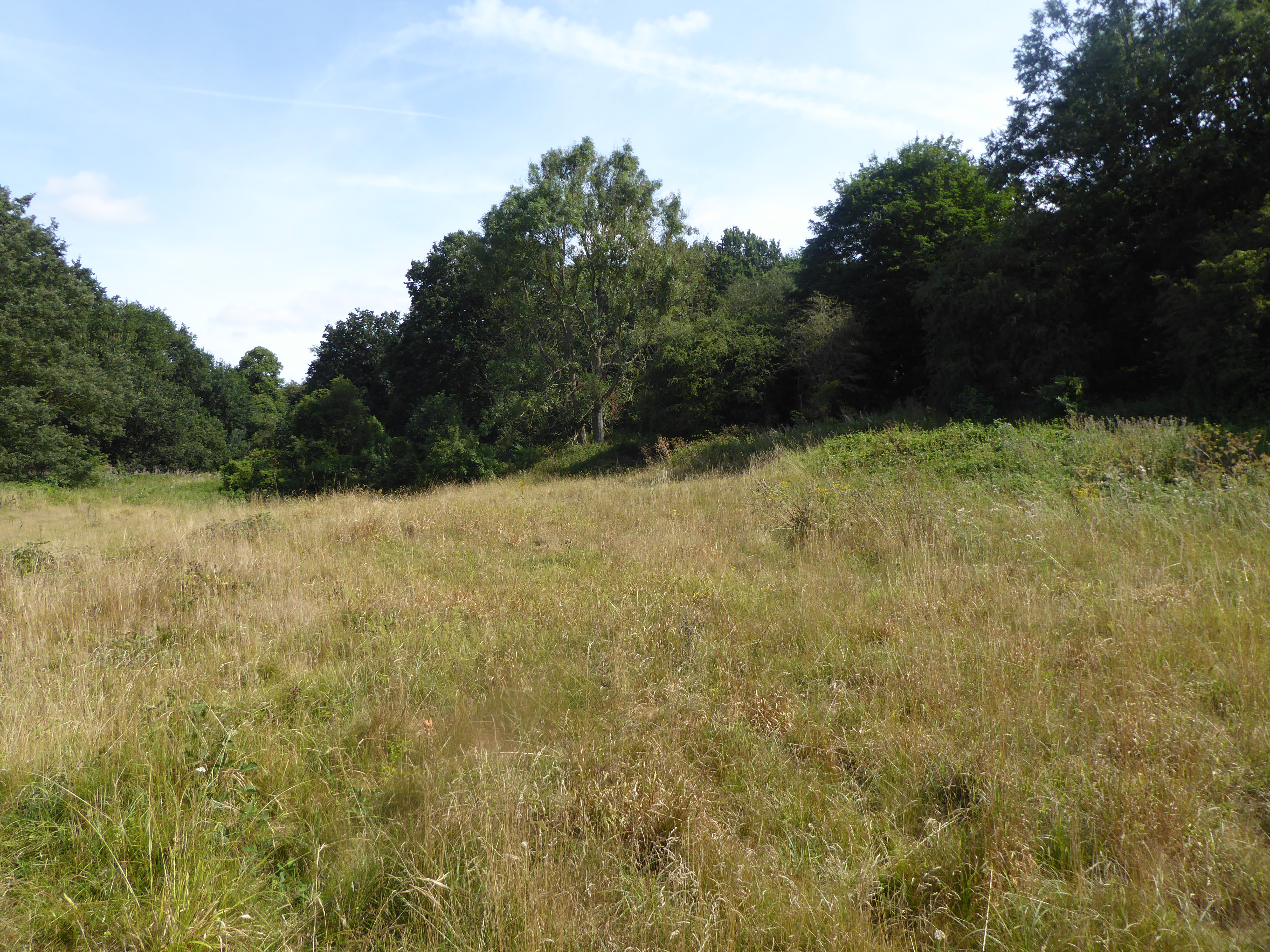
Sallett's Plantation, located in Norfolk, England, is a picturesque woodland area known for its natural beauty and historical significance. Spread across a vast expanse of land, the plantation is a haven for nature enthusiasts and history buffs alike.
The plantation is characterized by its dense growth of deciduous and coniferous trees, creating a diverse and vibrant ecosystem. Oak, beech, and pine trees dominate the landscape, providing shelter to a wide variety of wildlife. Visitors to Sallett's Plantation can expect to encounter an array of bird species, including woodpeckers, owls, and songbirds, as well as small mammals such as squirrels and foxes.
The history of the plantation dates back centuries, with records indicating its existence as early as the 12th century. Originally used for hunting purposes by the local aristocracy, Sallett's Plantation has seen various transformations over the years. It served as a timber source during the Tudor period, supplying wood for shipbuilding and construction. During the industrial revolution, the plantation became an important source of charcoal.
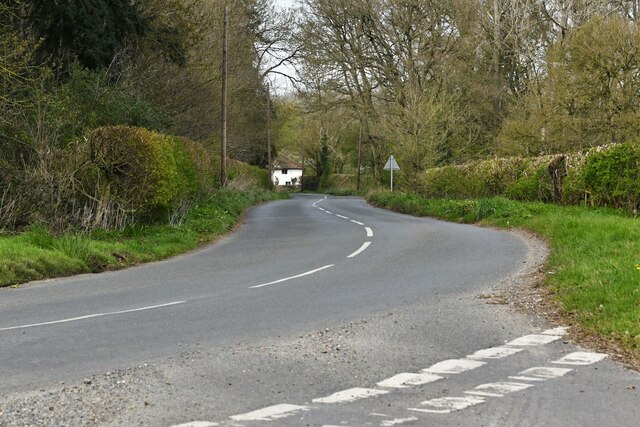
Today, Sallett's Plantation is managed by a local conservation organization, which aims to preserve its natural heritage and promote sustainable woodland management practices. The plantation offers a network of scenic walking trails, allowing visitors to explore its enchanting woodlands and discover its historical landmarks, such as remnants of charcoal kilns and ancient boundary markers.
With its rich biodiversity and historical significance, Sallett's Plantation stands as a testament to the beauty and resilience of Norfolk's natural landscape.
If you have any feedback on the listing, please let us know in the comments section below.
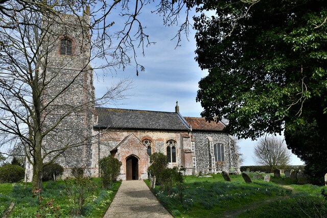
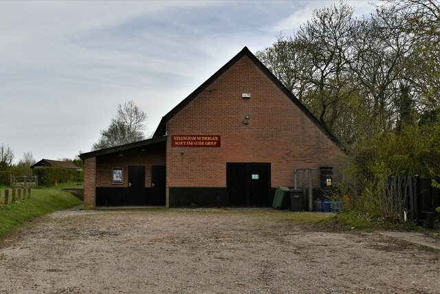
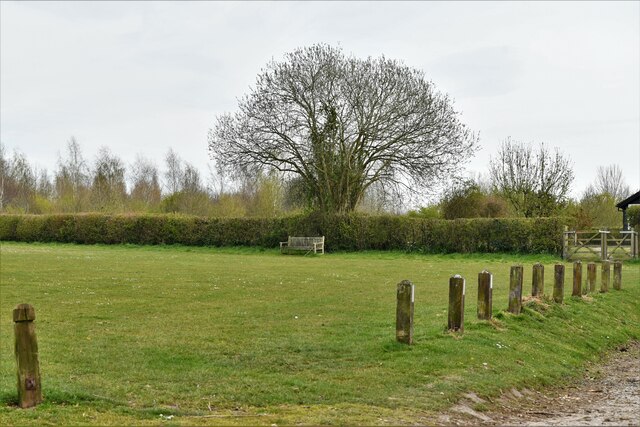
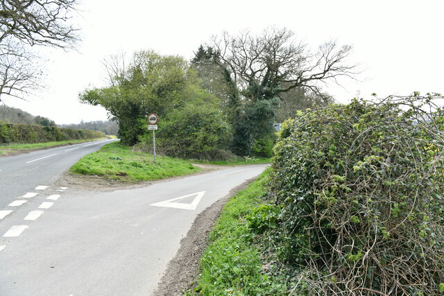
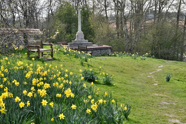
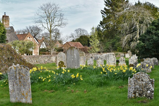
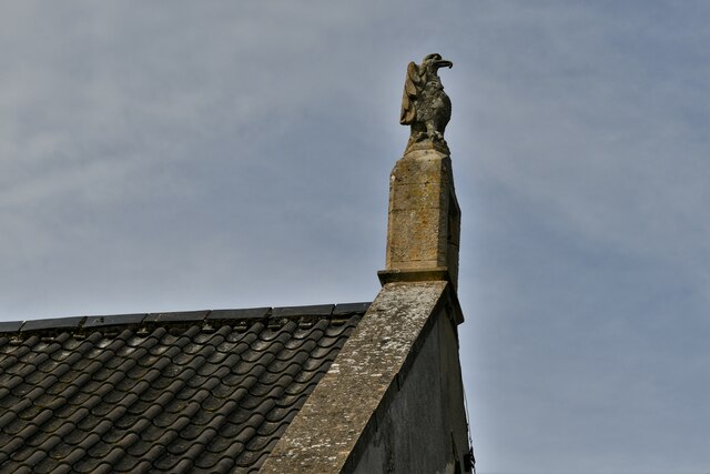
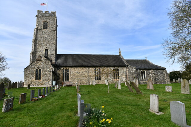
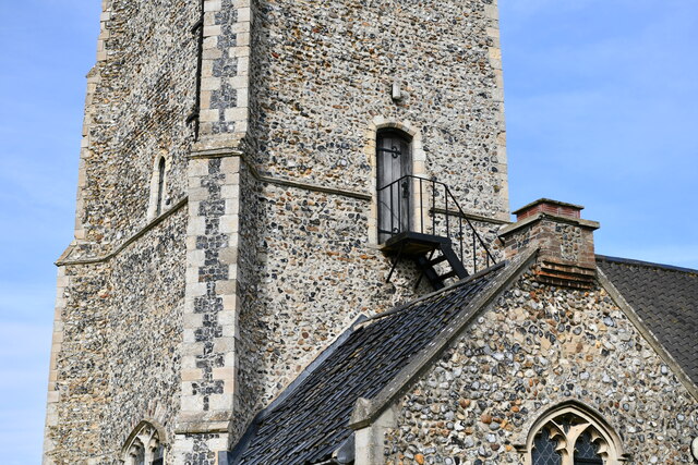
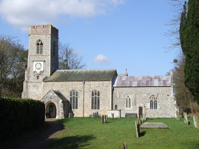
Sallett's Plantation Images
Images are sourced within 2km of 52.534115/1.2899527 or Grid Reference TM2398. Thanks to Geograph Open Source API. All images are credited.
Sallett's Plantation is located at Grid Ref: TM2398 (Lat: 52.534115, Lng: 1.2899527)
Administrative County: Norfolk
District: South Norfolk
Police Authority: Norfolk
What 3 Words
///wrong.spider.commuting. Near Mulbarton, Norfolk
Related Wikis
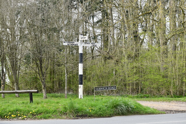
Saxlingham Nethergate
Saxlingham Nethergate is a village and civil parish in Norfolk, England, about 9.5 miles (15 km) south of Norwich. The civil parish has an area of 3.3...
Smockmill Common
Smockmill Common is a 10-hectare (25-acre) Local Nature Reserve on the eastern outskirts of Newton Flotman in Norfolk. It is owned by the Shotesham Estate...

Shotesham Common
Shotesham Common is a 21.6-hectare (53-acre) biological Site of Special Scientific Interest south of Norwich in Norfolk.This site consists of traditionally...

Newton Flotman
Newton Flotman, meaning new farm or settlement, is a village and civil parish in the English county of Norfolk, lies about 7 miles (11 km) south of Norwich...

Shotesham
Shotesham () is a village in South Norfolk which lies approximately 5 miles south of Norwich. It sits next to Stoke Holy Cross and Saxlingham Nethergate...

A140 road
The A140 is an 'A-class' road in Norfolk and Suffolk, East Anglia, England partly following the route of the Roman Pye Road. It runs from the A14 near...

Shotesham-Woodton Hornbeam Woods
Shotesham-Woodton Hornbeam Woods is a 40.4-hectare (100-acre) biological Site of Special Scientific Interest east of Newton Flotman in Norfolk.This site...

Swainsthorpe
Swainsthorpe is a village in Norfolk, England. It lies on the A140 road, approximately 5 miles south of Norwich, and just north of Newton Flotman. It covers...
Nearby Amenities
Located within 500m of 52.534115,1.2899527Have you been to Sallett's Plantation?
Leave your review of Sallett's Plantation below (or comments, questions and feedback).