Ashbed Plantation
Wood, Forest in Norfolk South Norfolk
England
Ashbed Plantation

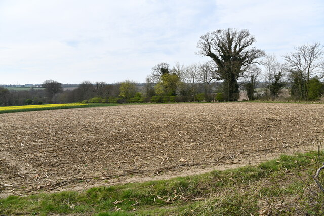
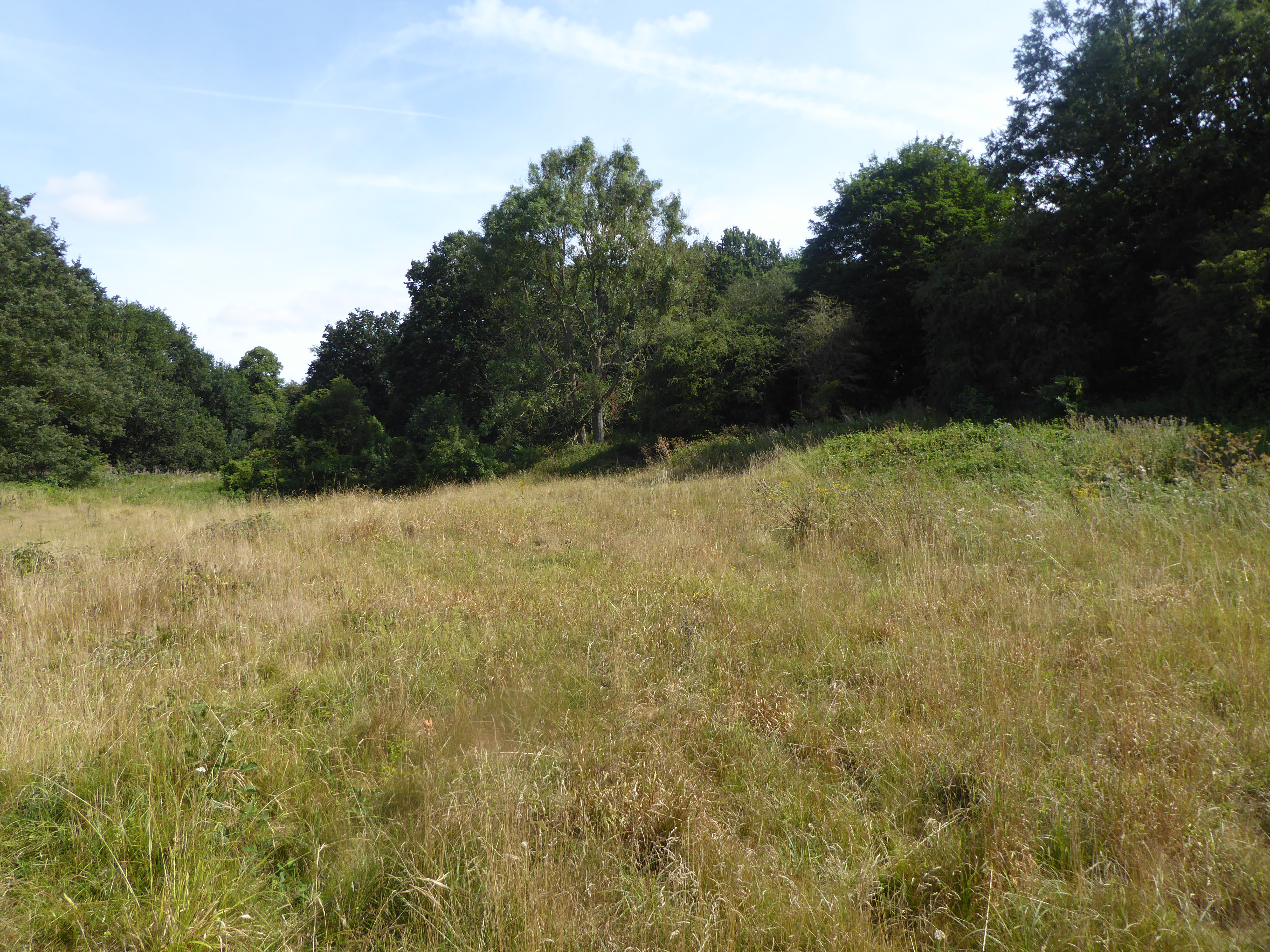
Ashbed Plantation is a picturesque woodland located in Norfolk, England. Spanning across a vast area, it is known for its diverse range of trees and enchanting natural beauty. The plantation is primarily composed of ash trees, which give it its unique name.
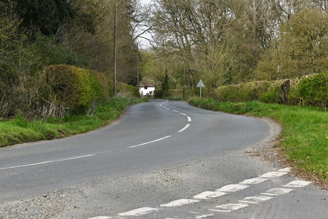
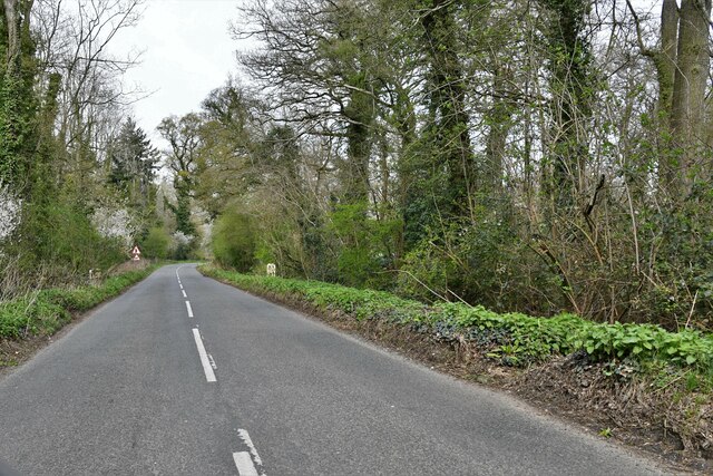
The woodland is a haven for nature enthusiasts and outdoor lovers, offering a serene environment for relaxation and exploration. Visitors can wander through the well-maintained paths that wind through the forest and immerse themselves in the tranquility of the surroundings. The dense canopy of trees provides ample shade, creating a cool and refreshing atmosphere even on hot summer days.
Ashbed Plantation is home to a rich variety of wildlife, including various bird species, small mammals, and insects. Birdwatchers can delight in spotting resident and migratory birds such as woodpeckers, owls, and warblers.
The plantation also offers recreational activities such as hiking, picnicking, and nature photography. The well-marked trails cater to different levels of fitness, making it accessible for all visitors. The beautiful scenery and peaceful ambiance make it an ideal spot for capturing breathtaking photographs of nature.
Managed by the local forestry commission, Ashbed Plantation is well-preserved and cared for. Regular maintenance ensures the health and vitality of the trees, allowing them to thrive and provide a sustainable habitat for wildlife.
In conclusion, Ashbed Plantation in Norfolk is a captivating woodland that boasts a diverse range of trees and wildlife. Its well-maintained paths, tranquil atmosphere, and recreational activities make it a popular destination for nature enthusiasts and those seeking solace in the beauty of the natural world.
If you have any feedback on the listing, please let us know in the comments section below.
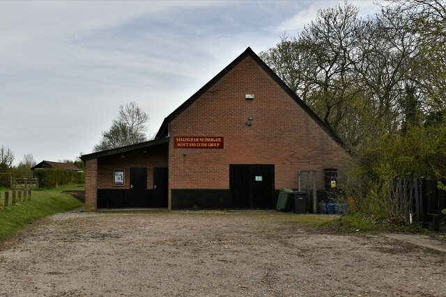
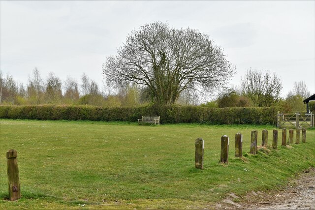
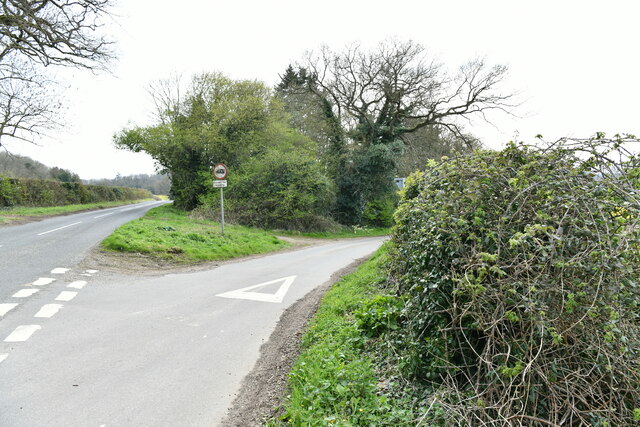
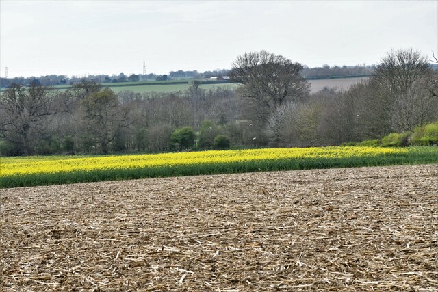
Ashbed Plantation Images
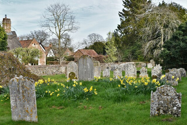
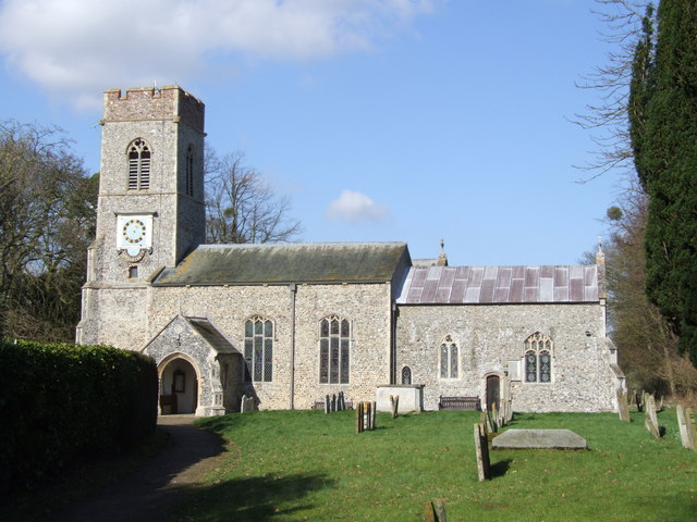
Images are sourced within 2km of 52.538401/1.2887984 or Grid Reference TM2398. Thanks to Geograph Open Source API. All images are credited.


Ashbed Plantation is located at Grid Ref: TM2398 (Lat: 52.538401, Lng: 1.2887984)
Administrative County: Norfolk
District: South Norfolk
Police Authority: Norfolk
What 3 Words
///seagulls.squad.preparing. Near Mulbarton, Norfolk
Related Wikis
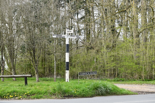
Saxlingham Nethergate
Saxlingham Nethergate is a village and civil parish in Norfolk, England, about 9.5 miles (15 km) south of Norwich. The civil parish has an area of 3.3...
Smockmill Common
Smockmill Common is a 10-hectare (25-acre) Local Nature Reserve on the eastern outskirts of Newton Flotman in Norfolk. It is owned by the Shotesham Estate...

Shotesham Common
Shotesham Common is a 21.6-hectare (53-acre) biological Site of Special Scientific Interest south of Norwich in Norfolk.This site consists of traditionally...

Newton Flotman
Newton Flotman, meaning new farm or settlement, is a village and civil parish in the English county of Norfolk, lies about 7 miles (11 km) south of Norwich...
Nearby Amenities
Located within 500m of 52.538401,1.2887984Have you been to Ashbed Plantation?
Leave your review of Ashbed Plantation below (or comments, questions and feedback).