Broome Wood
Wood, Forest in Kent Canterbury
England
Broome Wood

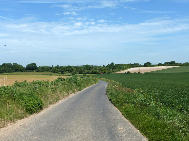
Broome Wood, located in the county of Kent, England, is a picturesque forest renowned for its natural beauty and diverse ecosystem. Covering an area of approximately 200 acres, this enchanting woodland offers a tranquil retreat for visitors seeking solace in nature.
The wood is predominantly composed of native tree species such as oak, beech, and ash, which create a dense canopy overhead, lending an ethereal ambiance to the area. The forest floor is adorned with a rich carpet of bluebells during spring, infusing the air with their sweet fragrance and adding a vibrant burst of color to the landscape.
Broome Wood is home to a plethora of wildlife, making it a haven for nature enthusiasts and birdwatchers. Visitors may catch a glimpse of the elusive nightjar or hear the melodic songs of resident songbirds such as the blackbird and chaffinch. The wood is also a habitat for small mammals including foxes, badgers, and rabbits.
Within the forest, there are several well-maintained footpaths and trails, allowing visitors to explore its hidden treasures. Whether it be a leisurely stroll or an adventurous hike, there are routes suitable for all abilities and interests. Additionally, the wood is equipped with picnic areas, making it an ideal spot for families and friends to enjoy a day out in nature.
Broome Wood, with its serene atmosphere and natural splendor, offers a welcome escape from the hustle and bustle of modern life. It is a true gem within the Kent countryside, inviting visitors to immerse themselves in its tranquility and marvel at the wonders of the natural world.
If you have any feedback on the listing, please let us know in the comments section below.
Broome Wood Images
Images are sourced within 2km of 51.255826/1.1974245 or Grid Reference TR2355. Thanks to Geograph Open Source API. All images are credited.


Broome Wood is located at Grid Ref: TR2355 (Lat: 51.255826, Lng: 1.1974245)
Administrative County: Kent
District: Canterbury
Police Authority: Kent
What 3 Words
///headlight.carpets.conquest. Near Wingham, Kent
Nearby Locations
Related Wikis

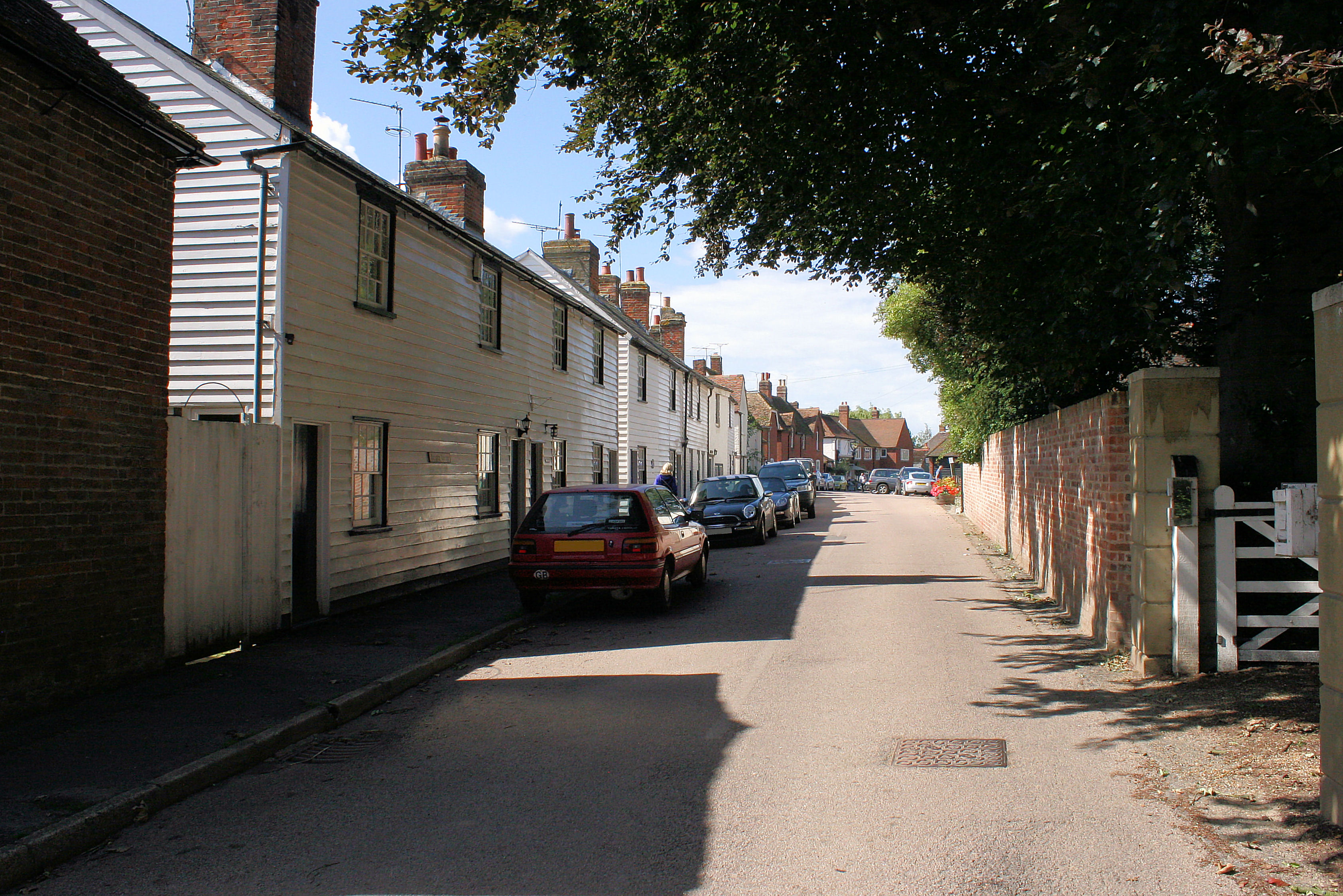
Bramling
Bramling is a hamlet five miles (8 km) east of Canterbury in Kent, England. It lies on the A257 road between Littlebourne and Wingham. The local public...

Adisham
Adisham (formerly Adesham) is a village and civil parish in the English county of Kent. It is twinned with Campagne-lès-Hesdin in France. == Geography... ==
Ickham and Well
Ickham and Well is a mostly rural civil parish east of Canterbury in Kent, South East England. The parish covers the villages of Ickham and Bramling just...
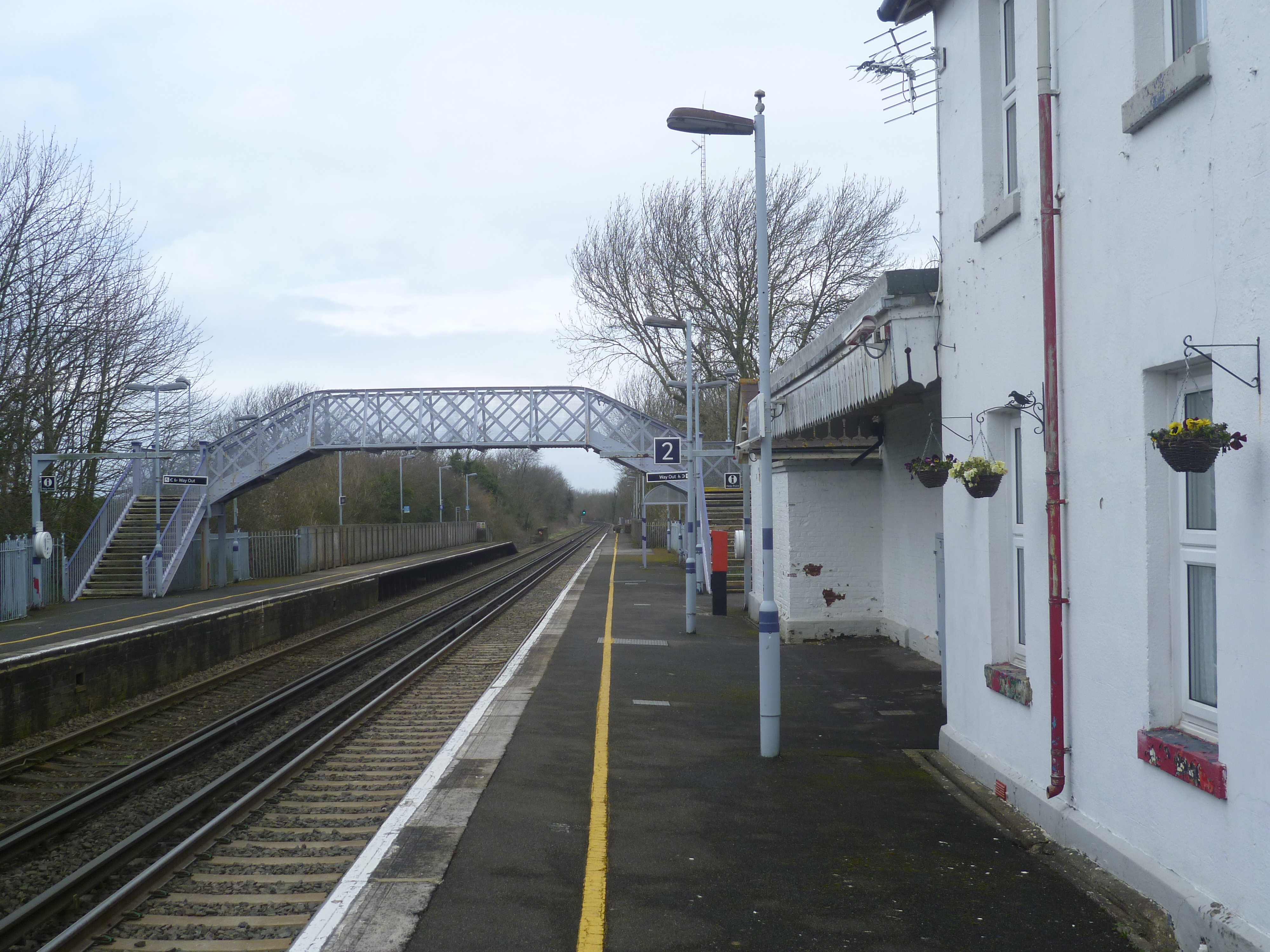
Adisham railway station
Adisham railway station is on the Dover branch of the Chatham Main Line in England, and serves the village of Adisham, Kent. It is 67 miles 60 chains...
Nearby Amenities
Located within 500m of 51.255826,1.1974245Have you been to Broome Wood?
Leave your review of Broome Wood below (or comments, questions and feedback).