Bloy's Grove
Wood, Forest in Norfolk South Norfolk
England
Bloy's Grove
Bloy's Grove is a picturesque woodland located in the county of Norfolk, England. Nestled in the heart of the Norfolk Broads National Park, this ancient woodland is a haven for nature enthusiasts and those seeking tranquility amidst the scenic beauty of the region.
Covering an area of approximately 100 acres, Bloy's Grove is renowned for its diverse range of tree species, including oak, beech, birch, and ash. The grove boasts a rich ecosystem, with an abundance of wildlife that calls this woodland home. Visitors can spot various bird species, such as the great spotted woodpecker, tawny owl, and chiffchaff, as well as small mammals like squirrels and rabbits.
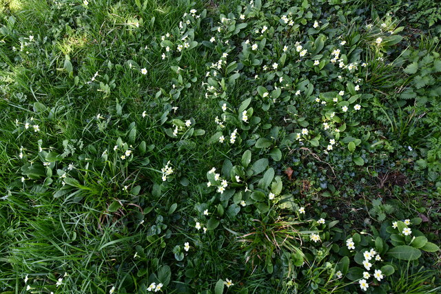
The woodland is crisscrossed with well-maintained footpaths, making it an ideal destination for walkers, hikers, and nature lovers. These paths lead visitors through a maze of lush greenery, providing breathtaking views of the surrounding landscape. In spring, the forest floor is carpeted with wildflowers, creating a vibrant burst of colors.
Bloy's Grove is not only a place of natural beauty but also holds historical significance. It is believed to have been a hunting ground for the wealthy landowners during medieval times. The remnants of an old stone wall add to the charm and mystery of the woodland, evoking a sense of the past.
Overall, Bloy's Grove offers a peaceful retreat for those seeking solace in nature. With its diverse flora and fauna, scenic trails, and a touch of history, it is truly a gem in the Norfolk countryside.
If you have any feedback on the listing, please let us know in the comments section below.
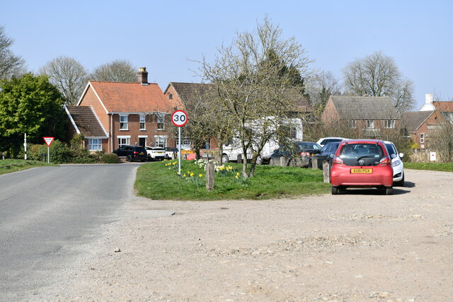
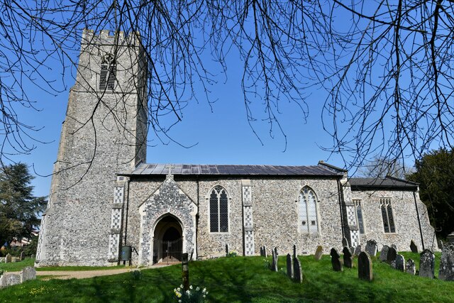
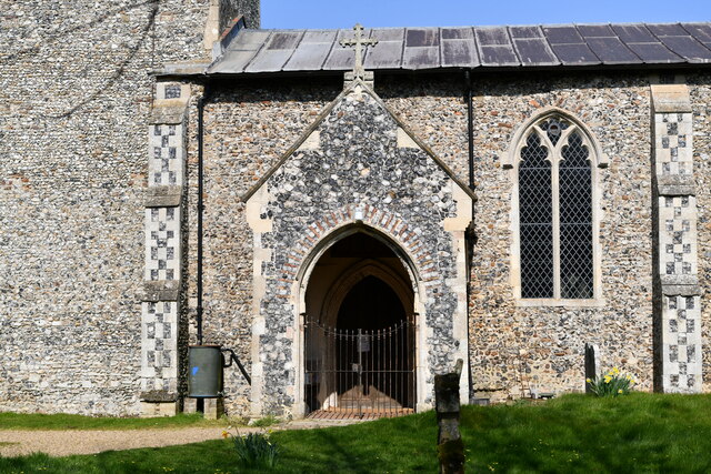
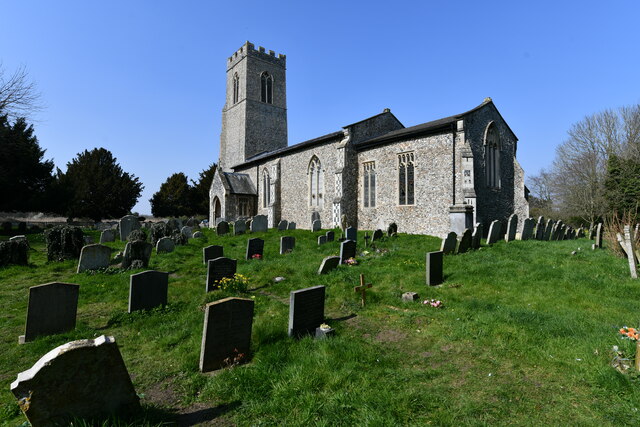
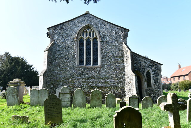
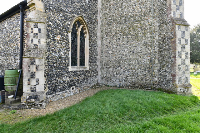
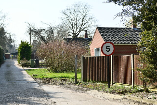
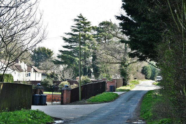
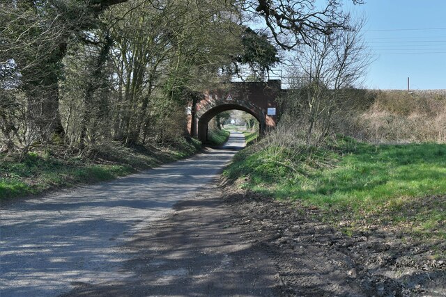
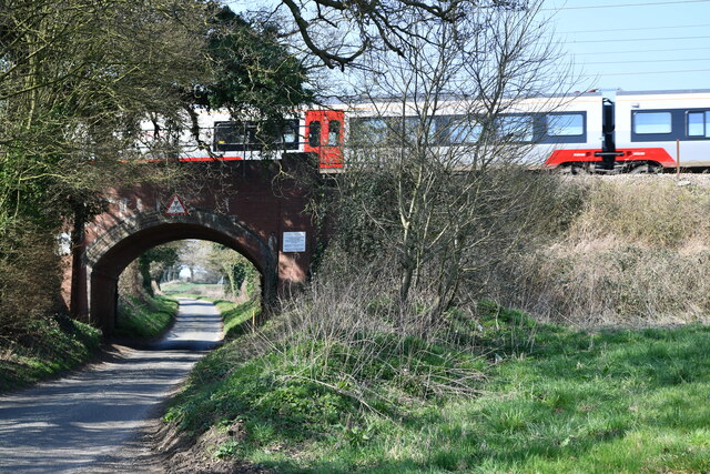
Bloy's Grove Images
Images are sourced within 2km of 52.557566/1.2599084 or Grid Reference TG2100. Thanks to Geograph Open Source API. All images are credited.


Bloy's Grove is located at Grid Ref: TG2100 (Lat: 52.557566, Lng: 1.2599084)
Administrative County: Norfolk
District: South Norfolk
Police Authority: Norfolk
What 3 Words
///coil.wiped.frizz. Near Mulbarton, Norfolk
Nearby Locations
Related Wikis
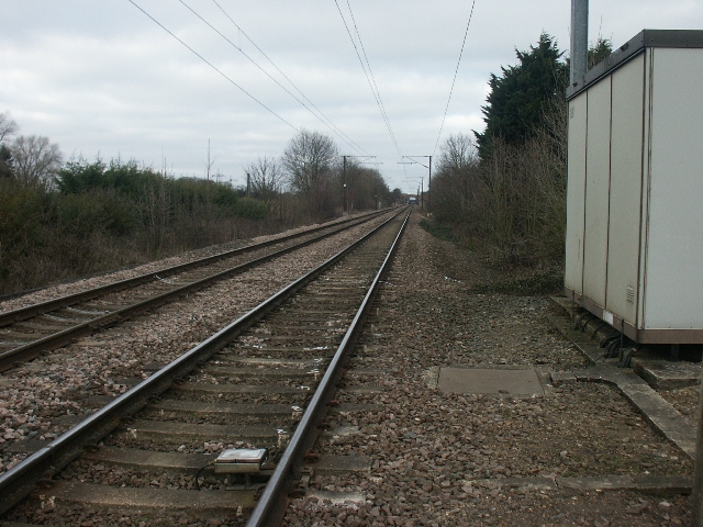
Swainsthorpe railway station
Swainsthorpe was a railway station in Swainsthorpe, England, around five miles south of Norwich. It was opened in 1850 when the Great Eastern Railway constructed...

Swainsthorpe
Swainsthorpe is a village in Norfolk, England. It lies on the A140 road, approximately 5 miles south of Norwich, and just north of Newton Flotman. It covers...

Mulbarton Wanderers F.C.
Mulbarton Wanderers Football Club is a football club based in Mulbarton, Norfolk. The men's first team are currently members in the Eastern Counties League...
Dunston Common
Dunston Common is a 3.8-hectare (9.4-acre) Local Nature Reserve south of Norwich in Norfolk. It is owned and managed by South Norfolk District Council...
Nearby Amenities
Located within 500m of 52.557566,1.2599084Have you been to Bloy's Grove?
Leave your review of Bloy's Grove below (or comments, questions and feedback).