Furze Covert
Wood, Forest in Norfolk South Norfolk
England
Furze Covert
Furze Covert is a woodland area located in the county of Norfolk, England. Situated in the eastern part of the country, it covers a total area of approximately _______ acres. The woodland is predominantly composed of various species of trees, including oak, beech, and birch. The dense canopy provides ample shade, creating a cool and tranquil atmosphere within the forest.
Furze Covert offers a diverse range of flora and fauna, making it an ideal habitat for a variety of wildlife. The forest floor is carpeted with a rich layer of moss, ferns, and wildflowers, adding to the natural beauty of the area. It is not uncommon to spot deer, foxes, and various bird species, including woodpeckers and owls, as they call the woodland their home.
The woodland has a network of well-maintained footpaths and trails, providing visitors with the opportunity to explore the area and enjoy its natural wonders. It is a popular destination for nature enthusiasts, hikers, and birdwatchers, who can immerse themselves in the peaceful surroundings and observe the local wildlife.
Furze Covert is managed by the local authorities, who ensure the preservation of its natural ecosystem. Regular maintenance work, such as tree pruning and litter collection, is carried out to keep the woodland in pristine condition. The area is also equipped with picnic spots and benches, allowing visitors to relax and enjoy a picnic amidst the tranquility of the forest.
Overall, Furze Covert in Norfolk offers a serene and picturesque setting for individuals seeking solace in nature, providing a haven for both wildlife and humans alike.
If you have any feedback on the listing, please let us know in the comments section below.
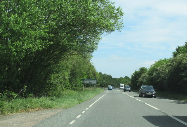
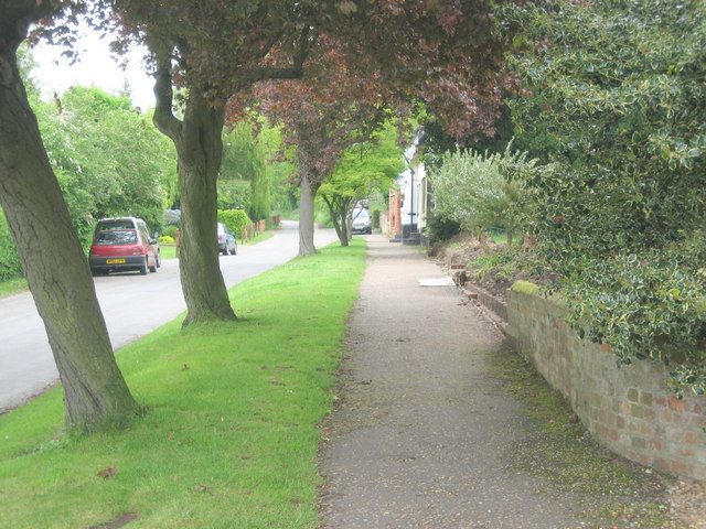
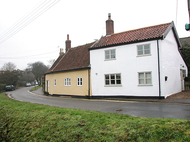
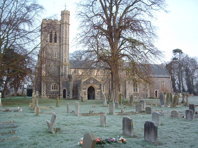
Furze Covert Images
Images are sourced within 2km of 52.387758/1.2470643 or Grid Reference TM2181. Thanks to Geograph Open Source API. All images are credited.


Furze Covert is located at Grid Ref: TM2181 (Lat: 52.387758, Lng: 1.2470643)
Administrative County: Norfolk
District: South Norfolk
Police Authority: Norfolk
What 3 Words
///keep.scariest.moderated. Near Harleston, Norfolk
Nearby Locations
Related Wikis

Needham, Norfolk
Needham is a small village in Norfolk, England. It covers an area of 4.69 km2 (1.81 sq mi) and had a population of 310 in 129 households at the 2001 census...
Brockdish
Brockdish is a village and civil parish in the South Norfolk district of Norfolk, England. The village is situated on the River Waveney (south of which...

100th Bomb Group Memorial Museum
The 100th Bomb Group Memorial Museum, located in the original control tower and other remaining buildings of the RAF Thorpe Abbotts airfield east of Diss...
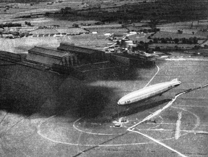
RNAS Pulham
RNAS Pulham (later RAF Pulham) was a Royal Navy Air Service (RNAS) airship station, near Pulham St Mary 18 mi (29 km) south of Norwich, UK. Though land...
Have you been to Furze Covert?
Leave your review of Furze Covert below (or comments, questions and feedback).