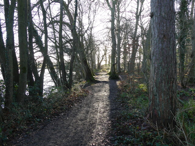
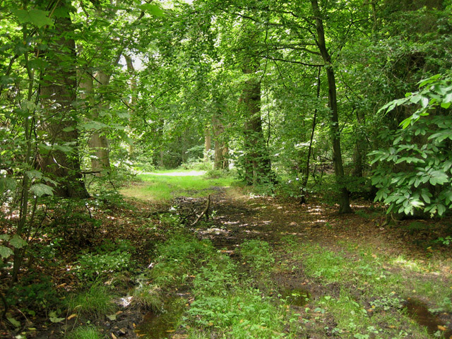
King's Plantation
Wood, Forest in Norfolk North Norfolk
England
King's Plantation

King's Plantation, Norfolk, also known as Wood or Forest, is a historic site located in the county of Norfolk, England. Situated near the village of King's Lynn, it spans an area of approximately 500 acres.
The plantation dates back to the 16th century when it was established as a hunting forest by King Henry VIII. It was primarily used as a royal hunting ground for deer and other game. Over the centuries, it underwent various transformations and expansions, eventually becoming a thriving agricultural estate.
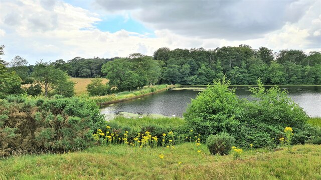
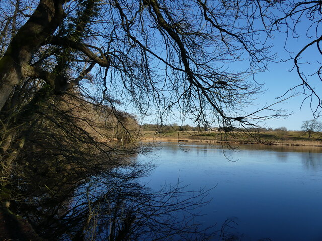
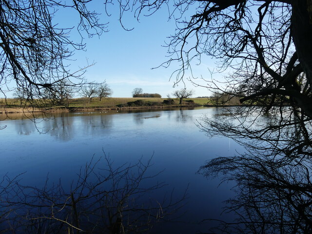
Today, King's Plantation is known for its diverse woodland, encompassing a mix of deciduous and coniferous trees. The forest boasts an impressive array of flora and fauna, including ancient oaks, beeches, and birches. The woodland floor is adorned with vibrant wildflowers during the spring and summer months.
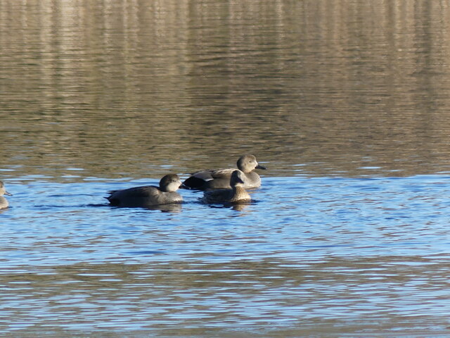
The plantation is also home to a rich variety of wildlife, making it a popular spot for nature enthusiasts and birdwatchers. Visitors can expect to encounter species such as roe deer, badgers, foxes, and a wide range of birdlife, including woodpeckers, owls, and various songbirds.
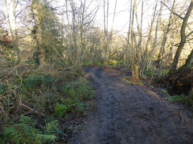
In addition to its natural beauty, King's Plantation offers recreational activities such as hiking and cycling trails, allowing visitors to explore the picturesque landscape. The estate also features picnic areas and designated camping spots for those looking to immerse themselves in the tranquility of the forest.
Overall, King's Plantation, Norfolk is a cherished natural treasure, combining history, biodiversity, and recreational opportunities, making it a must-visit destination for both locals and tourists alike.
If you have any feedback on the listing, please let us know in the comments section below.
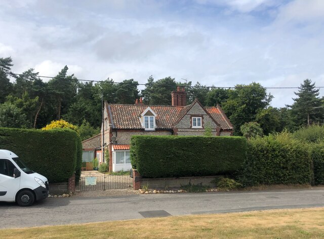
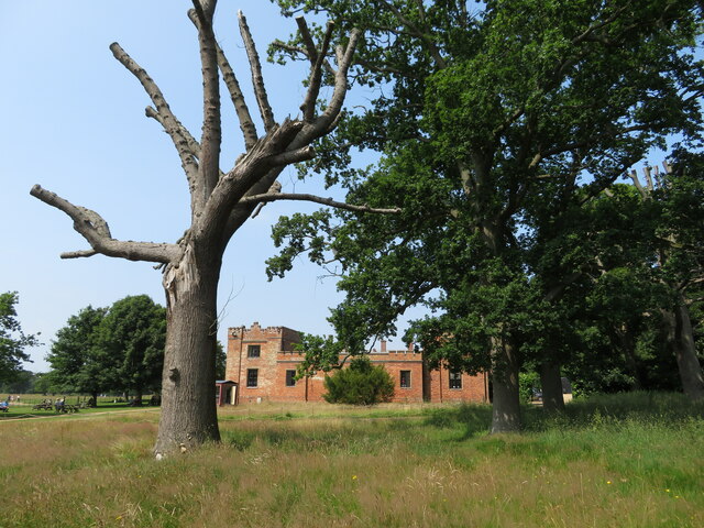
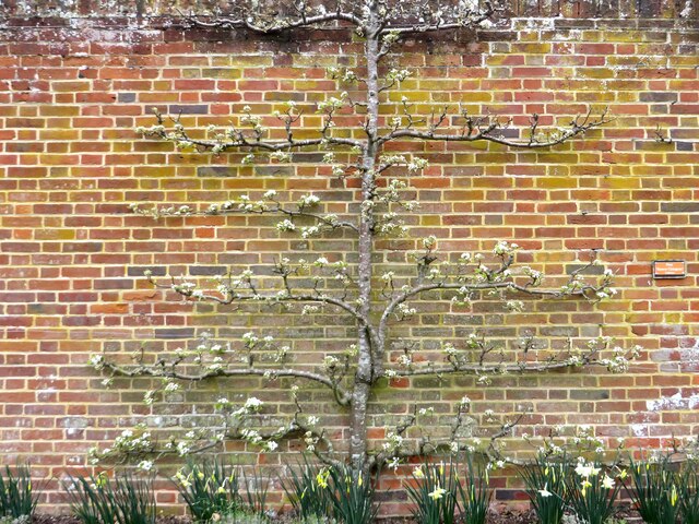
King's Plantation Images
Images are sourced within 2km of 52.909188/1.2802746 or Grid Reference TG2039. Thanks to Geograph Open Source API. All images are credited.


King's Plantation is located at Grid Ref: TG2039 (Lat: 52.909188, Lng: 1.2802746)
Administrative County: Norfolk
District: North Norfolk
Police Authority: Norfolk
What 3 Words
///apart.frost.bunch. Near Cromer, Norfolk
Nearby Locations
Related Wikis

Felbrigg
Felbrigg is a village and civil parish in the English county of Norfolk. The village is 1.7 miles (2.7 km) south-west of Cromer and 20 miles (32 km) north...

St Margaret's Church, Felbrigg
St Margaret's Church is a Grade II* listed parish church in the Church of England Diocese of Norwich in Felbrigg, Norfolk. == History == The church is...
Felbrigg Woods
Felbrigg Woods is a 164.6-hectare (407-acre) biological Site of Special Scientific Interest south-west of Cromer in Norfolk. It is the main part of the...

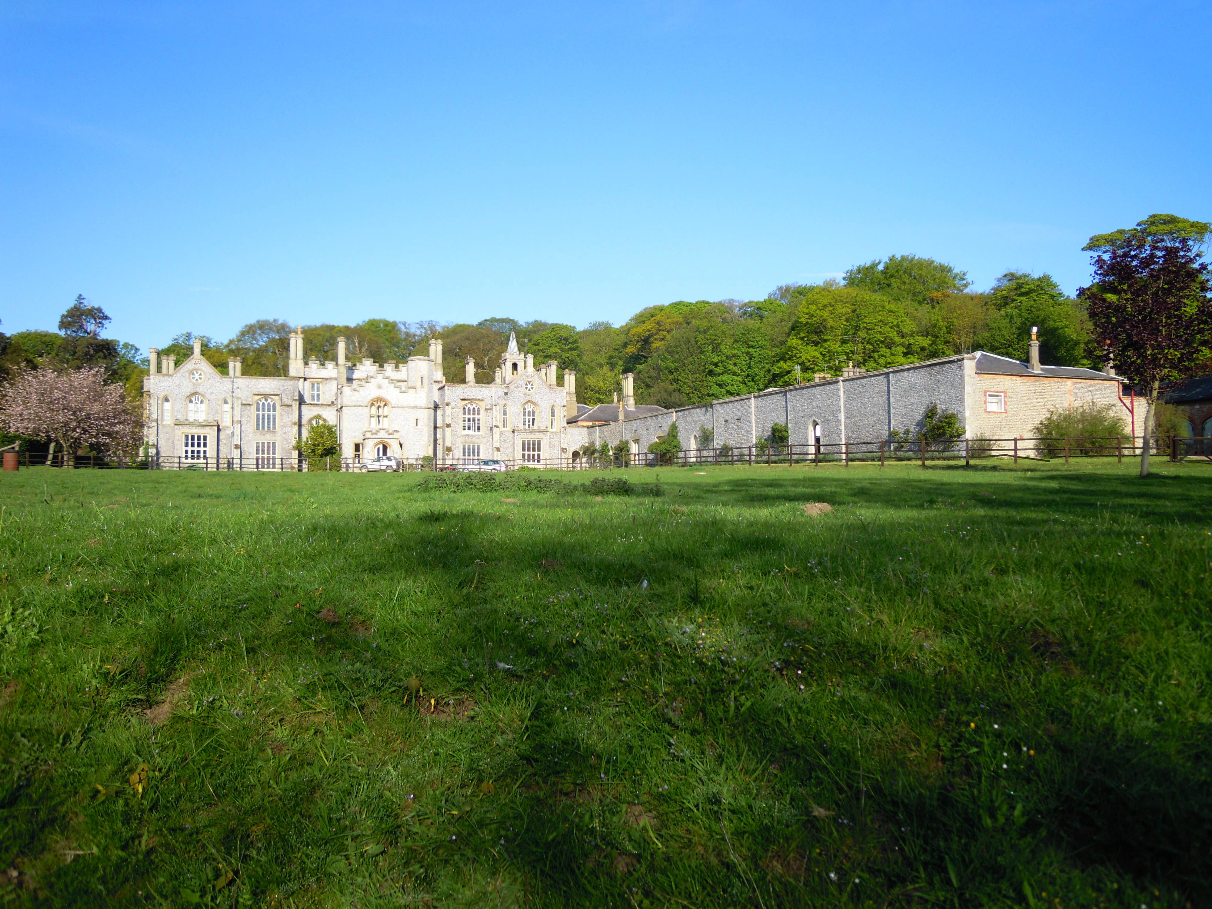
Felbrigg Hall
Felbrigg Hall is a 17th-century English country house near the village of that name in Norfolk. Part of a National Trust property, the unaltered 17th-century...
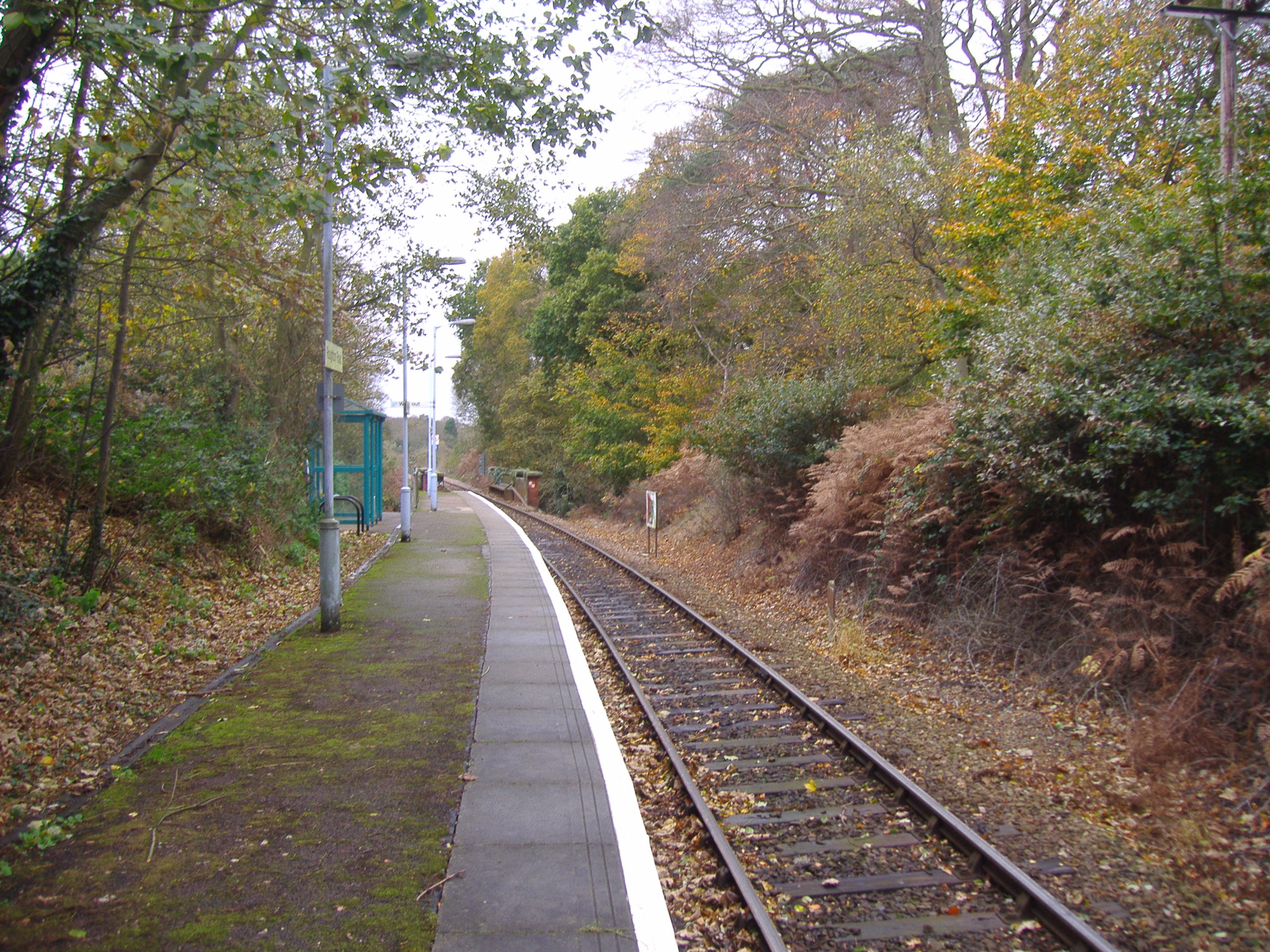
Roughton Road railway station
Roughton Road railway station is on the Bittern Line in Norfolk, England, on the outskirts of the town of Cromer. It takes its name from the street on...
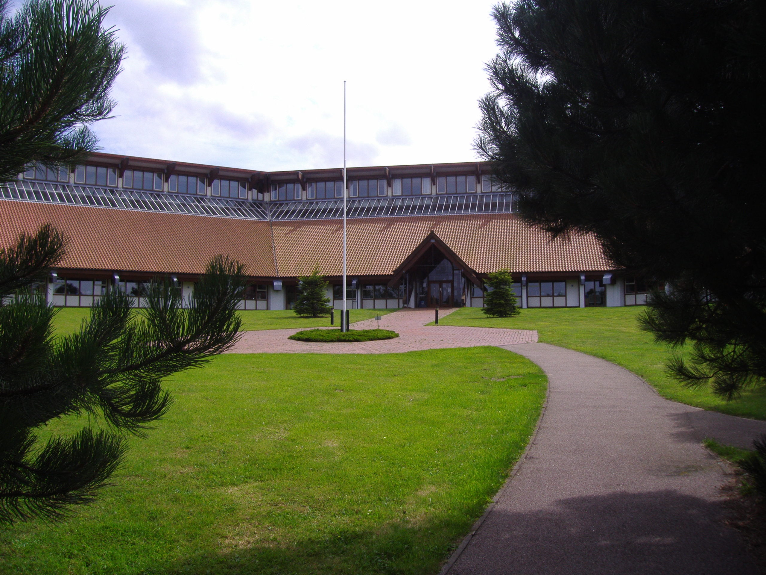
North Norfolk District Council Headquarters
North Norfolk District Council Headquarters is located in Holt road in a prominent position south of the town of Cromer in the English county of Norfolk...
Cromer Hall
Cromer Hall is a country house located one mile south of Cromer on Holt Road, in the English county of Norfolk. The present house was built in 1829 by...
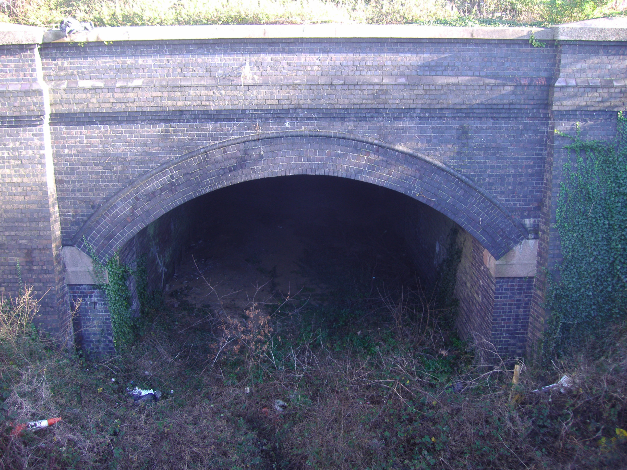
Cromer Tunnel
The Cromer Tunnel was built by the Norfolk and Suffolk Joint Railway to take their Cromer Beach to Mundesley line under the Great Eastern's Cromer High...
Nearby Amenities
Located within 500m of 52.909188,1.2802746Have you been to King's Plantation?
Leave your review of King's Plantation below (or comments, questions and feedback).