Cantley Wood
Wood, Forest in Norfolk South Norfolk
England
Cantley Wood
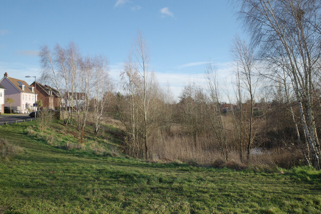
Cantley Wood is a picturesque woodland located in Norfolk, England. Situated near the village of Cantley, the wood covers an area of approximately 200 acres. It is part of the Norfolk Broads, a nationally protected wetland area known for its diverse flora and fauna.
Cantley Wood is predominantly made up of broadleaf trees, including oak, beech, and birch, which provide a rich habitat for a variety of wildlife. The wood is home to numerous bird species, such as woodpeckers, owls, and warblers, making it a popular spot for birdwatching enthusiasts.
The woodland floor is adorned with a carpet of bluebells during the spring, creating a stunning display of color and attracting visitors from far and wide. Other wildflowers, such as primroses and wild garlic, can also be found in abundance.
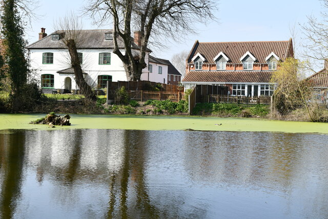
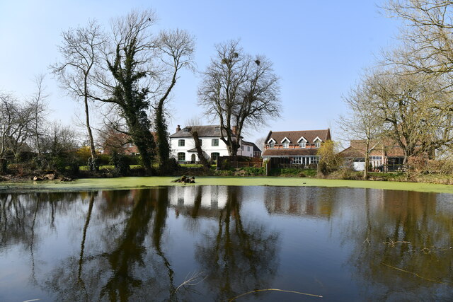
The wood features a network of well-maintained footpaths, allowing visitors to explore its natural beauty at their own pace. These paths lead to a tranquil pond nestled within the woodland, providing a peaceful spot for reflection and relaxation.
Cantley Wood is managed by a local conservation organization, which ensures the preservation of its natural habitat and promotes sustainable practices. The wood is open to the public year-round and offers a wonderful opportunity to immerse oneself in the tranquility of nature. Whether it's a leisurely walk, a picnic, or wildlife spotting, Cantley Wood offers a serene escape for nature lovers of all ages.
If you have any feedback on the listing, please let us know in the comments section below.
Cantley Wood Images
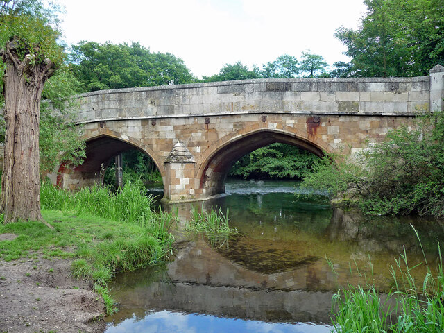
Images are sourced within 2km of 52.593063/1.2291097 or Grid Reference TG1804. Thanks to Geograph Open Source API. All images are credited.


Cantley Wood is located at Grid Ref: TG1804 (Lat: 52.593063, Lng: 1.2291097)
Administrative County: Norfolk
District: South Norfolk
Police Authority: Norfolk
What 3 Words
///noble.album.point. Near Cringleford, Norfolk
Nearby Locations
Related Wikis

Mulbarton, Norfolk
Mulbarton is a village and civil parish located south of Norwich in the English county of Norfolk. It covers an area of 5.34 km2 (2.06 sq mi).The place...

Intwood
Intwood is a village and former civil parish, now in the parish of Keswick and Intwood, in the South Norfolk district, in the county of Norfolk, England...
Cringleford
Cringleford is a civil parish and village in the English county of Norfolk. The village sits on the River Yare and forms part of the outskirts of Norwich...

Hethersett railway station
Hethersett was a railway station near Hethersett, Norfolk. == History == The Bill for the Norwich & Brandon Railway (N&BR) received Royal Assent on 10...
Nearby Amenities
Located within 500m of 52.593063,1.2291097Have you been to Cantley Wood?
Leave your review of Cantley Wood below (or comments, questions and feedback).