Hoxne Plantation
Wood, Forest in Norfolk South Norfolk
England
Hoxne Plantation

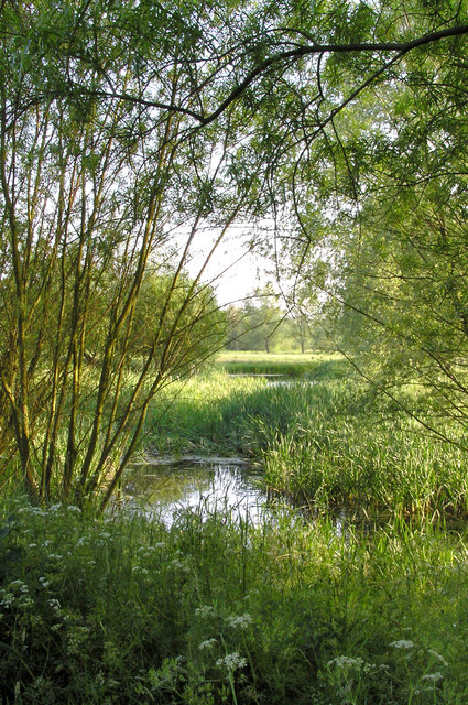
Hoxne Plantation is a picturesque woodland area located in the county of Norfolk, England. Covering an expansive area of land, this plantation is a haven for nature lovers and outdoor enthusiasts. The woodland is part of the wider Waveney Valley, which is renowned for its stunning natural beauty.
The plantation is dominated by a diverse range of trees, including oak, beech, and spruce, creating a rich and vibrant forest ecosystem. The dense canopy of foliage provides a habitat for various wildlife species, making it an ideal spot for birdwatchers and wildlife photographers. Visitors can expect to spot a plethora of bird species, such as woodpeckers, owls, and jays, as well as smaller mammals like squirrels and rabbits.
Hoxne Plantation offers several well-maintained walking trails that wind through the woodland, inviting visitors to explore its hidden corners. These paths are perfect for leisurely strolls, allowing visitors to immerse themselves in the tranquil surroundings. Additionally, the plantation also features designated picnic areas, where visitors can relax and enjoy a meal amidst the natural beauty.
Aside from its natural attractions, Hoxne Plantation has historical significance. It is believed that the woodland has been in existence for several centuries, and remnants of ancient settlements can still be found within its confines. These archaeological features add an interesting dimension to the plantation, making it an intriguing destination for history enthusiasts.
Overall, Hoxne Plantation is a stunning woodland area in Norfolk, offering a serene escape from the hustle and bustle of daily life. With its diverse flora and fauna, well-maintained trails, and historical significance, it is a must-visit destination for anyone seeking a peaceful and immersive nature experience.
If you have any feedback on the listing, please let us know in the comments section below.
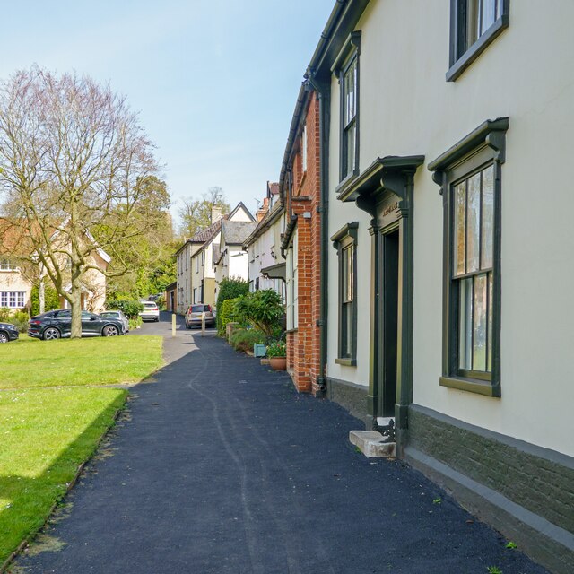
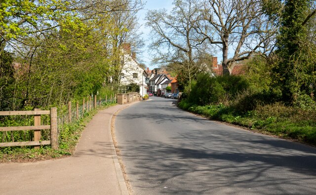
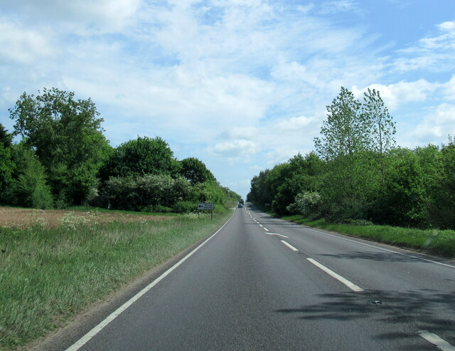
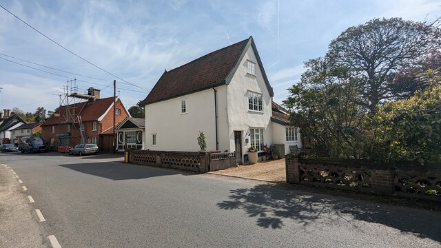
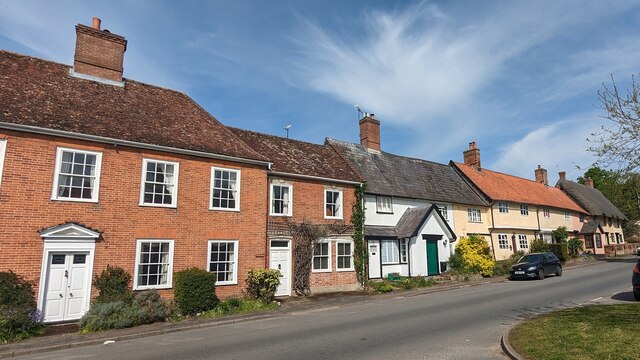
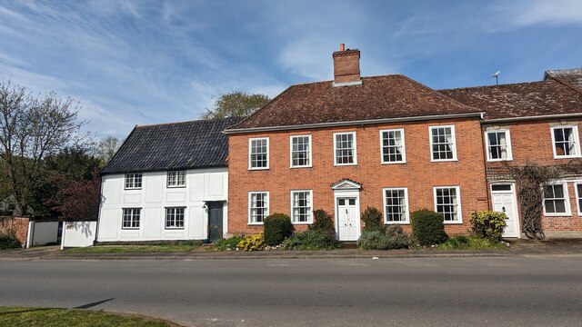
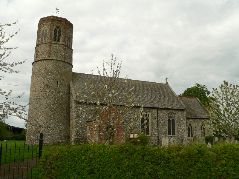
Hoxne Plantation Images
Images are sourced within 2km of 52.361676/1.2066019 or Grid Reference TM1878. Thanks to Geograph Open Source API. All images are credited.


Hoxne Plantation is located at Grid Ref: TM1878 (Lat: 52.361676, Lng: 1.2066019)
Administrative County: Norfolk
District: South Norfolk
Police Authority: Norfolk
What 3 Words
///intrigues.voice.tells. Near Scole, Norfolk
Nearby Locations
Related Wikis
River Dove, Suffolk
The River Dove is a river in the county of Suffolk. It is a tributary of the River Waveney starting near Bacton going through Eye to the Waveney. ��2...

Hoxne
Hoxne ( HOK-sən) is a village in the Mid Suffolk district of Suffolk, England, about five miles (8 km) east-southeast of Diss, Norfolk and 1⁄2 mile (800...
Thorpe Abbotts
Thorpe Abbotts is a village and (as Thorpe Abbots) a former civil parish, now in the parish of Brockdish, in the South Norfolk district, in the county...

Hoxne manor
Hoxne manor is an estate in Hoxne, Suffolk, England. It was originally a manor house belonging to East Anglian bishops. However following the dissolution...
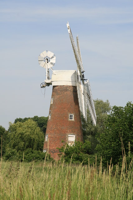
Billingford Windmill
Billingford Windmill is a grade II* listed brick tower mill at Billingford near Diss, Norfolk, England which has been preserved and restored to working...

Dickleburgh and Rushall
Dickleburgh and Rushall is a civil parish in South Norfolk. It covers an area of 14.90 km2 (5.75 sq mi) and had a population of 1356 in 565 households...
Billingford, South Norfolk
Billingford or Pirleston is a village and former civil parish, 19 miles (31 km) south of Norwich, now in the parish of Scole, in the South Norfolk district...

St Edmund's Memorial, Hoxne
St Edmund's Memorial, Hoxne is a memorial which claims to mark the spot where St Edmund was killed by the Vikings in the Suffolk village of Hoxne. The...
Nearby Amenities
Located within 500m of 52.361676,1.2066019Have you been to Hoxne Plantation?
Leave your review of Hoxne Plantation below (or comments, questions and feedback).