Bracon Common
Wood, Forest in Norfolk South Norfolk
England
Bracon Common
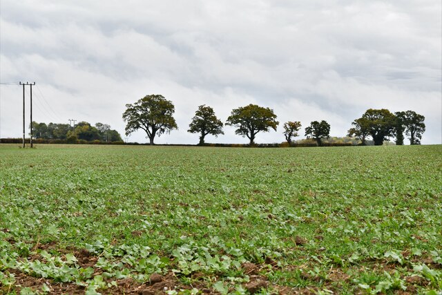
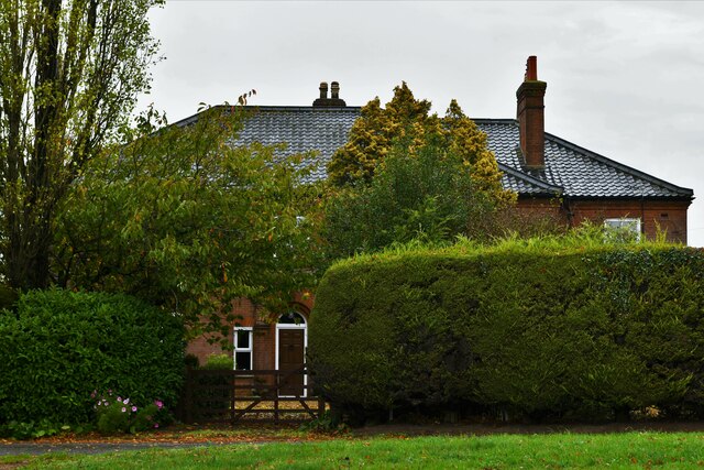
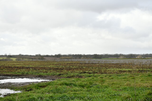
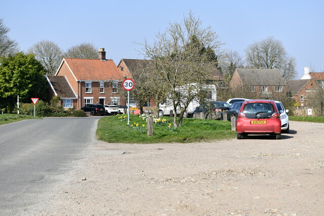
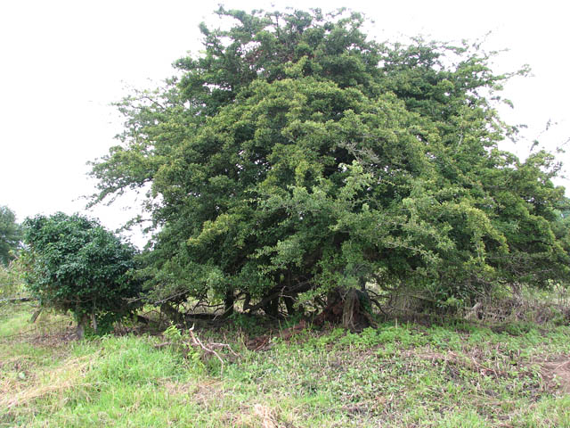
Bracon Common is a picturesque woodland area located in Norfolk, England. Covering an expansive area of approximately 200 acres, this common land is known for its rich biodiversity and natural beauty. The common is situated near the village of Bracon Ash, just south of Norwich, making it easily accessible for both locals and visitors.
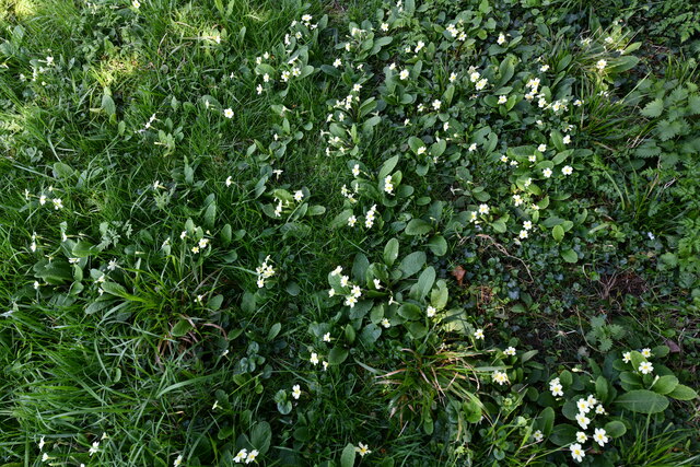
The woodlands of Bracon Common are predominantly composed of broadleaf trees such as oak, beech, and birch, creating a diverse and vibrant habitat for a wide range of plant and animal species. The forest floor is adorned with an array of wildflowers, ferns, and mosses, adding to the enchanting atmosphere of the area.
The common is a haven for wildlife enthusiasts and nature lovers alike, as it provides a sanctuary for numerous bird species, including woodpeckers, owls, and various songbirds. Mammals such as deer, foxes, and rabbits can also be spotted within the woodlands, adding to the allure of the area. Additionally, the common is home to a variety of insects, including butterflies and dragonflies, which thrive in the diverse ecosystem.
Visitors to Bracon Common can enjoy leisurely walks along the well-maintained footpaths that wind through the woodlands, offering stunning views of the surrounding countryside. The common is also a popular spot for picnics, birdwatching, and photography, with many visitors often capturing the beauty of the landscape throughout the seasons.
In summary, Bracon Common is a charming woodland area in Norfolk, offering a tranquil escape from the hustle and bustle of everyday life. With its diverse flora and fauna, it provides a natural haven for both wildlife and visitors seeking a serene and scenic environment.
If you have any feedback on the listing, please let us know in the comments section below.
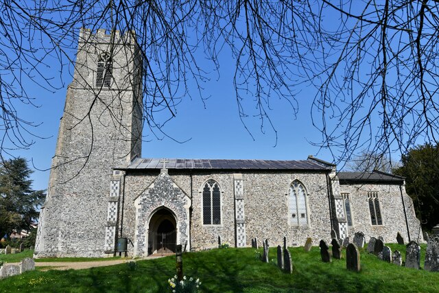
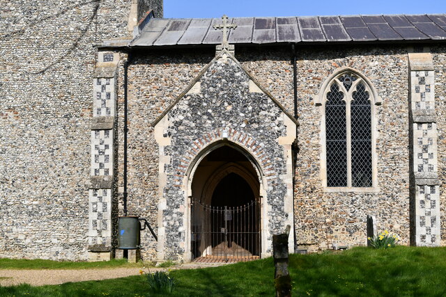
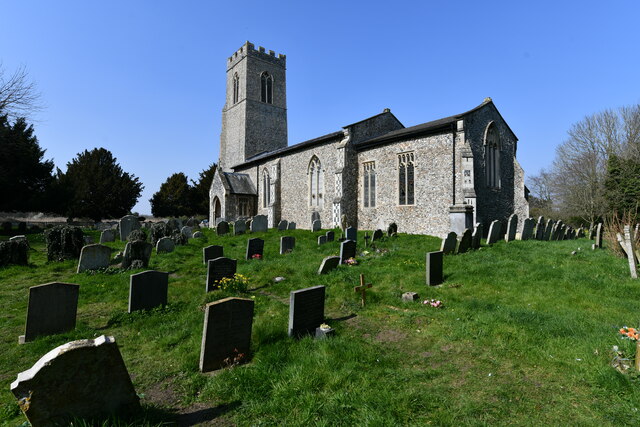
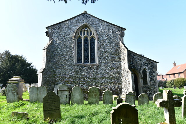
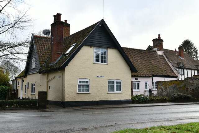
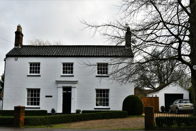
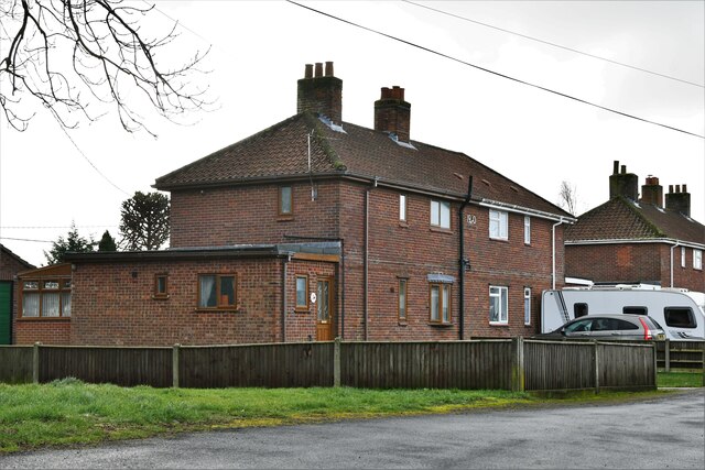
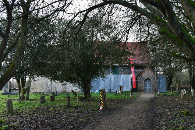
Bracon Common Images
Images are sourced within 2km of 52.549828/1.2186441 or Grid Reference TM1899. Thanks to Geograph Open Source API. All images are credited.

Bracon Common is located at Grid Ref: TM1899 (Lat: 52.549828, Lng: 1.2186441)
Administrative County: Norfolk
District: South Norfolk
Police Authority: Norfolk
What 3 Words
///joyously.wage.galaxies. Near Hethel, Norfolk
Nearby Locations
Related Wikis

Bracon Ash
Bracon Ash is a village and civil parish in the South Norfolk district of Norfolk, England. == History == Bracon Ash's name is of Anglo-Saxon origin and...

Hethel
Hethel is a small village in Norfolk, England, approximately five miles (8.0 km) southeast of the market town of Wymondham, and approximately ten miles...
Hethel Old Thorn
Hethel Old Thorn is a 0.025-hectare (0.062-acre) nature reserve south-west of Norwich in Norfolk. It is managed by the Norfolk Wildlife Trust.This is...

Wreningham
Wreningham is a village and civil parish in the English county of Norfolk. It is situated some 3 miles (4.8 km) south east of Wymondham and 9 miles (14...
Mulbarton Wanderers F.C.
Mulbarton Wanderers Football Club is a football club based in Mulbarton, Norfolk. The men's first team are currently members in the Eastern Counties League...

Flordon Common
Flordon Common is a 9.9-hectare (24-acre) biological Site of Special Scientific Interest south-east of Wymondham in Norfolk. It is a registered common...

East Carleton
East Carleton is a village and civil parish in the English county of Norfolk. The village is located 6.3 kilometres (3.9 mi) east of nearby Wymondham and...

Flordon railway station
Flordon railway station served the village of Flordon, Norfolk. It was opened in 1849, when the line from London Liverpool Street to Norwich Victoria was...
Nearby Amenities
Located within 500m of 52.549828,1.2186441Have you been to Bracon Common?
Leave your review of Bracon Common below (or comments, questions and feedback).