Freckleton

Settlement in Lancashire Fylde

England

Freckleton

The Ship Freckleton The Ship Freckleton.
The Ship Freckleton Credit: Colin Kinnear

Freckleton is a small village located in the county of Lancashire, England. Situated on the Fylde Peninsula, it lies approximately 10 miles west of the city of Preston. With a population of around 6,000 inhabitants, Freckleton is known for its peaceful and close-knit community.

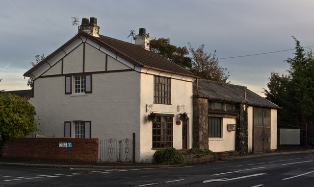
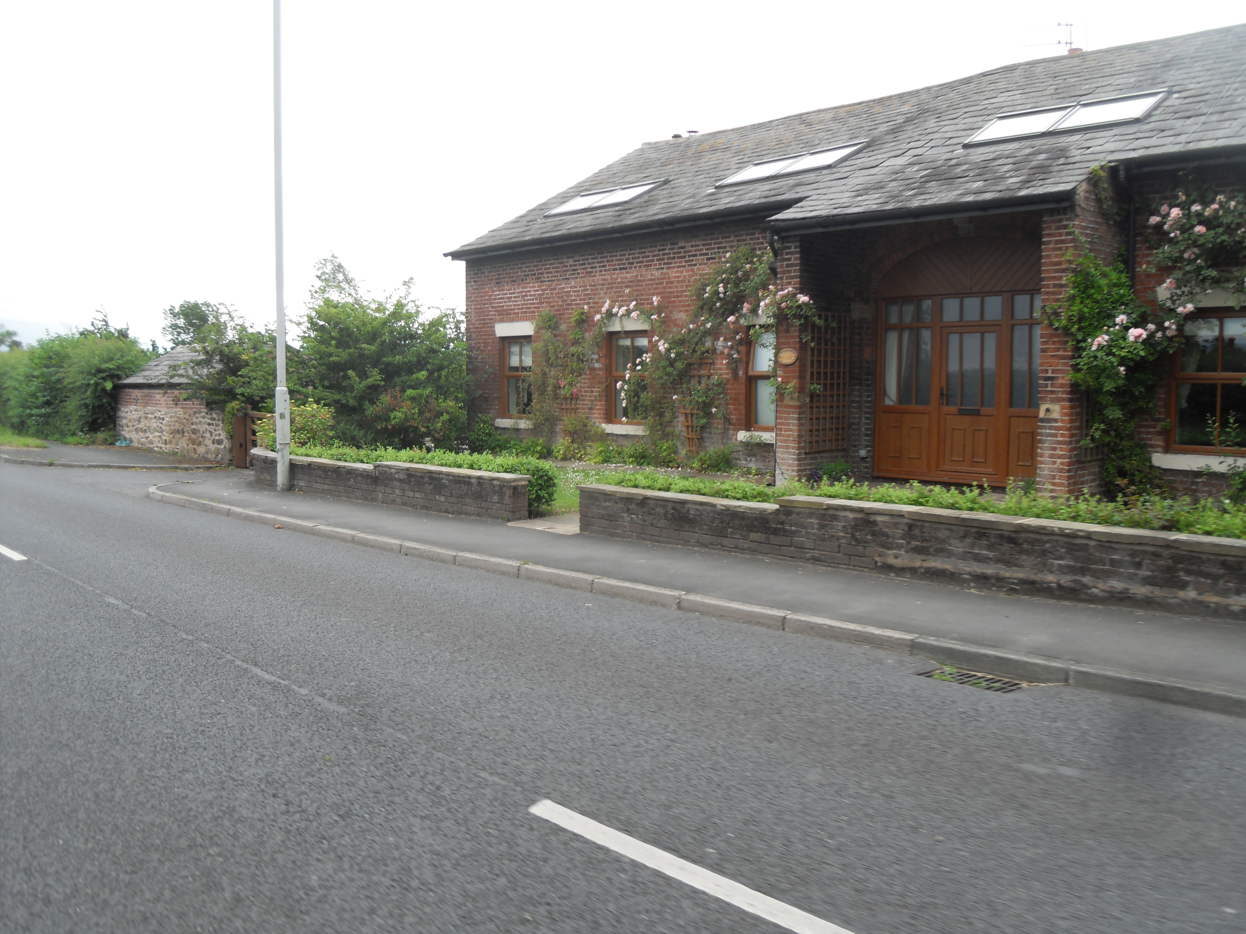
The village has a rich history, dating back to the Domesday Book in 1086, where it was recorded as "Frechetun." Throughout the years, Freckleton has grown and developed while still maintaining its traditional charm. The village is characterized by its picturesque cottages, quaint streets, and beautiful green spaces.

Freckleton offers a range of amenities and services to its residents. It has a primary school, a village hall, a post office, and a few local shops and pubs. The community is friendly and welcoming, making it an ideal place to raise a family or retire.

One of the notable landmarks in Freckleton is St. Paul's Church, a stunning Grade II listed building that dates back to the 19th century. The church serves as a prominent focal point within the village and holds regular services and events.

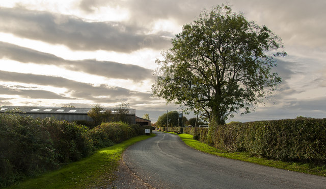
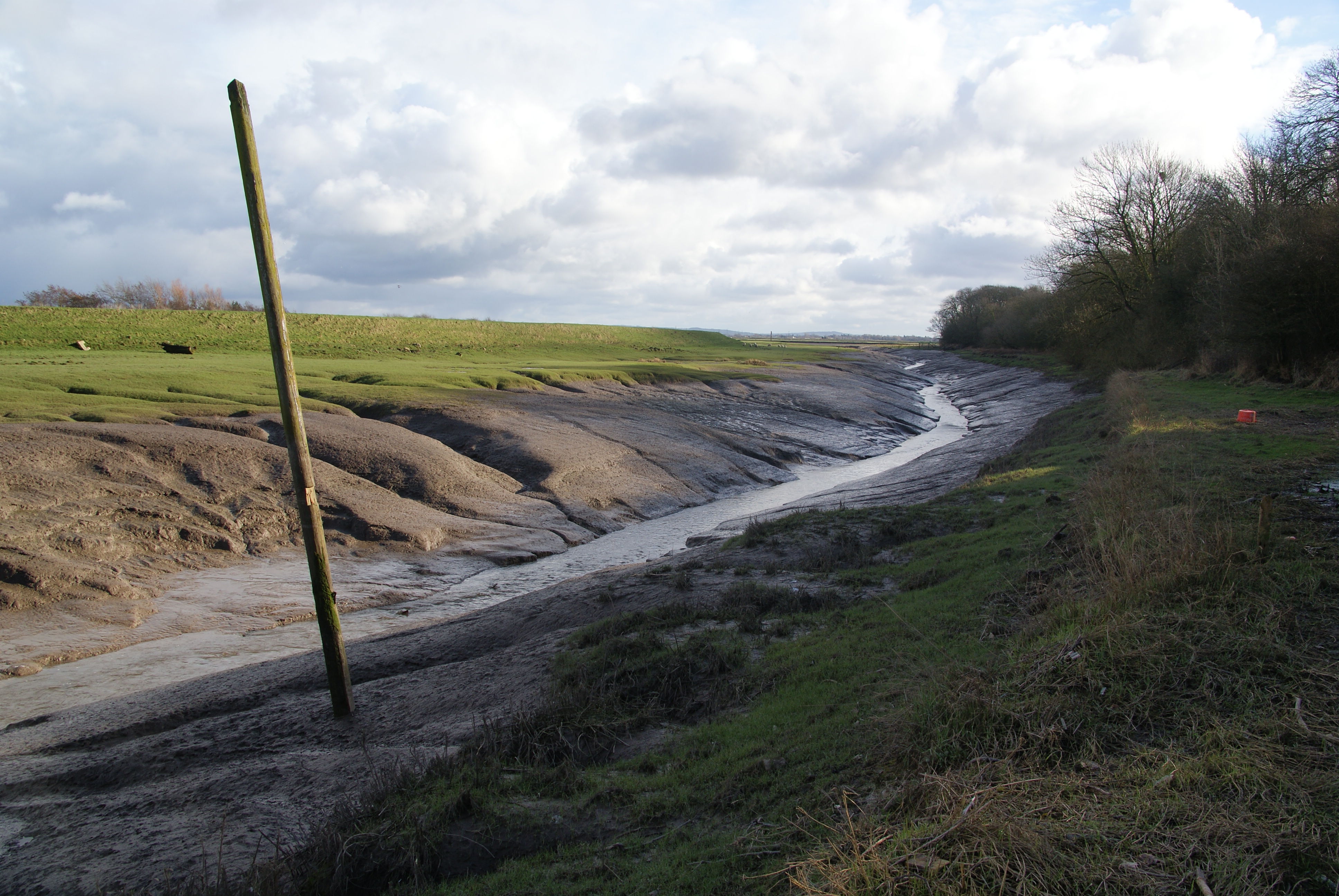
The surrounding countryside provides ample opportunities for outdoor activities, such as walking, cycling, and birdwatching. Nearby attractions include the Ribble Estuary National Nature Reserve, which is renowned for its diverse wildlife.

Overall, Freckleton offers a peaceful and idyllic setting with a strong sense of community, making it a desirable place to live for those seeking a quieter lifestyle in Lancashire.

If you have any feedback on the listing, please let us know in the comments section below.

Freckleton Images

Images are sourced within 2km of 53.755555/-2.869034 or Grid Reference SD4229. Thanks to Geograph Open Source API. All images are credited.

The Ship Freckleton The Ship Freckleton.
The Ship Freckleton
The Ship Freckleton.
This footpath leads from here to the main road
The Lancashire Coastal Way In humble mode
The Lancashire Coastal Way
In humble mode
Wharton Aerodrome
Wharton Aerodrome
Pool Lane
Pool Lane
Access to Naze Mount Farm from the Lancashire Coastal Way I think that must be a guard cow. She hasn't taken her eye off me.
Access to Naze Mount Farm from the Lancashire Coastal Way
I think that must be a guard cow. She hasn't taken her eye off me.
Strike Lane
Strike Lane
A Lockheed Lightning coming in to land at Wharton
The Lancashire Coastal Way
The Mill House
The Mill House
Hillock Lane at its junction with Harbour Lane
A drunken footpath sign
Lytham Road in Warton
Lytham Road in Freckleton
Show me another place!

Freckleton is located at Grid Ref: SD4229 (Lat: 53.755555, Lng: -2.869034)

Administrative County: Lancashire

District: Fylde

Police Authority: Lancashire

What 3 Words

///factually.warp.tank. Near Freckleton, Lancashire

Nearby Locations

Freckleton

Related Wikis

Freckleton air disaster

On 23 August 1944, a United States Army Air Forces (USAAF) Consolidated B-24 Liberator crashed during a test flight into the centre of the village of Freckleton...

Freckleton

Freckleton is a village and civil parish on the Fylde coast in Lancashire, England, to the south of Kirkham and east of the seaside resort of Lytham St...

Hall Cross

Hall Cross is a hamlet in the Borough of Fylde in Lancashire, England, between Kirkham and Freckleton. The name of the hamlet would seem to originate in...

Freckleton Pool

Freckleton Pool or Dow Brook is a tributary of the River Ribble running through the Fylde plain in Lancashire, England, passing the towns of Kirkham and...

Nearby Amenities

Located within 500m of 53.755555,-2.869034
Mini Roundabout
Direction: clockwise
Lat/Long: 53.7541349/-2.8688536
Traffic Signals
Lat/Long: 53.7550247/-2.8655553
Turning Circle
Lat/Long: 53.7548876/-2.8676995
Traffic Signals
Traffic Signals: signal
Lat/Long: 53.7560702/-2.8666521
Traffic Signals
Traffic Signals: signal
Lat/Long: 53.7559735/-2.8659433
Pub
The Plough
Addr City: Preston
Addr Country: GB
Addr Postcode: PR4 1XA
Addr Suburb: Freckleton
Fhrs Id: 95313
Lat/Long: 53.7551594/-2.8660482
Spar
Addr City: Preston
Addr Country: GB
Addr Postcode: PR4 1AA
Addr Suburb: Freckleton
Brand: Spar
Brand Wikidata: Q610492
Brand Wikipedia: en:Spar (retailer)
Fhrs Id: 95191
Shop: convenience
Lat/Long: 53.7540883/-2.8685614
Pub
Coach & Horses
Addr City: Preston
Addr Country: GB
Addr Postcode: PR4 1PD
Addr Suburb: Freckleton
Fhrs Id: 703213
Lat/Long: 53.7544009/-2.8654417
Co-op
Addr City: Preston
Addr Country: GB
Addr Postcode: PR4 1XA
Addr Suburb: Freckleton
Fhrs Id: 201768
Shop: convenience
Lat/Long: 53.7539364/-2.8699784
Atm
Fee: no
Operator: Co-op
Lat/Long: 53.7538889/-2.87015
Freckleton
Place: village
Lat/Long: 53.7540406/-2.8718952
Toilets
Fee: yes
Unisex: yes
Lat/Long: 53.7541167/-2.8658553
Addr Street: Douglas Drive
Entrance: main
Lat/Long: 53.7523595/-2.8724163
Post Box
Lat/Long: 53.7535541/-2.8713049
Post Box
Lat/Long: 53.7565873/-2.8665529
Power: tower
Lat/Long: 53.7583974/-2.8704037
Power: tower
Lat/Long: 53.7580074/-2.8639074
Power: tower
Lat/Long: 53.7583372/-2.8669007
Power: tower
Lat/Long: 53.7584672/-2.8738262
Fast Food
Millon
Addr City: Preston
Addr Country: GB
Addr Postcode: PR4 1PD
Addr Suburb: Freckleton
Cuisine: indian
Fhrs Id: 96503
Takeaway: yes
Lat/Long: 53.7542712/-2.8644463
Cafe
Flapjacks
Addr City: Preston
Addr Country: GB
Addr Postcode: PR4 1PD
Addr Suburb: Freckleton
Fhrs Id: 82730
Lat/Long: 53.7543441/-2.8649238
Fast Food
Lucky House
Addr City: Preston
Addr Country: GB
Addr Postcode: PR4 1PB
Addr Suburb: Freckleton
Cuisine: chinese
Fhrs Id: 80229
Takeaway: only
Lat/Long: 53.7545994/-2.8649546
Playground: zipwire
Lat/Long: 53.7533746/-2.8664822
Crossing
Lat/Long: 53.7550692/-2.8726642
Entrance: yes
Lat/Long: 53.7552539/-2.8640526
Crossing
Crossing: uncontrolled
Crossing Markings: yes
Lat/Long: 53.7542958/-2.8639045
Freckleton War Memorial
Historic: memorial
Memorial: war_memorial
Lat/Long: 53.7547672/-2.8657738
Clock
Display: analog
Faces: 2
Support: pole
Lat/Long: 53.754743/-2.8661905
Defibrillator
Access: yes
Defibrillator Location: attatched to railings of war memorial gardens, Lytham Road, Freckleton
Emergency: defibrillator
Indoor: no
Lat/Long: 53.754837/-2.8658173
Traffic Signals
Traffic Signals: signal
Traffic Signals Direction: backward
Lat/Long: 53.756191/-2.8663415
Bus Stop
Bus: yes
Public Transport: platform
Shelter: no
Lat/Long: 53.7561334/-2.862545
The data included in this document is from www.openstreetmap.org. The data is made available under ODbL.

Have you been to Freckleton?

Leave your review of Freckleton below (or comments, questions and feedback).