Killgrove Wood
Wood, Forest in Essex Tendring
England
Killgrove Wood

Killgrove Wood is a picturesque forest located in Essex, England. Covering an area of approximately 100 acres, this wood is renowned for its natural beauty and diverse flora and fauna. It is situated near the village of Killgrove, which lends its name to the woodland.
The wood is predominantly composed of broadleaf trees such as oak, beech, and birch, which create a dense canopy that provides shade and shelter to the forest floor. These towering trees, some of which are several centuries old, create a sense of tranquility and offer a haven for numerous bird species, including woodpeckers, owls, and various songbirds. Wildlife enthusiasts will also be delighted to spot squirrels, foxes, and badgers roaming among the undergrowth.
A network of well-maintained footpaths and trails meander through Killgrove Wood, making it accessible to visitors who wish to explore its natural wonders. These paths also offer opportunities for recreational activities such as hiking, birdwatching, and photography.
The wood's beauty is further enhanced by a small stream that runs through it, adding a peaceful soundtrack to the surroundings. This stream is a vital water source for the woodland's inhabitants and provides a habitat for amphibians and insects.
Killgrove Wood is not only a cherished natural gem for locals but also attracts visitors from across the county and beyond. Its idyllic setting and serene environment make it an ideal place to escape the hustle and bustle of everyday life and immerse oneself in the tranquility of nature.
If you have any feedback on the listing, please let us know in the comments section below.
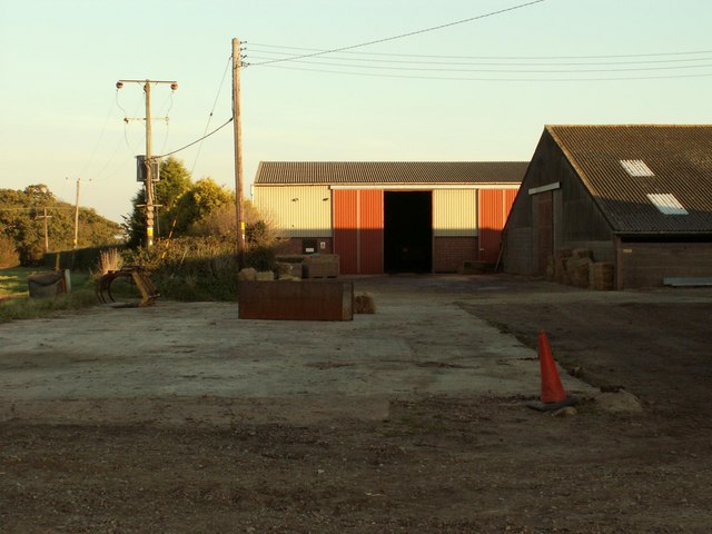
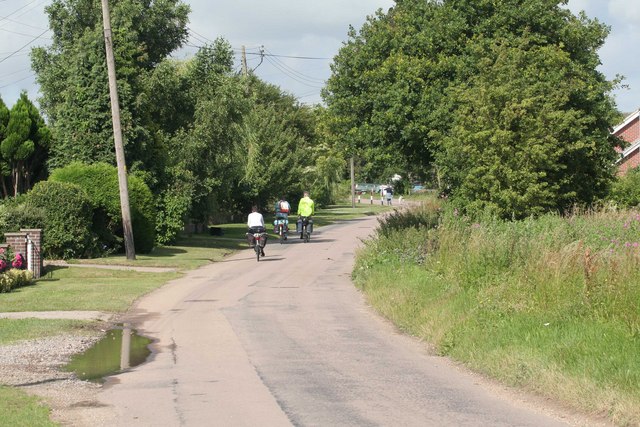
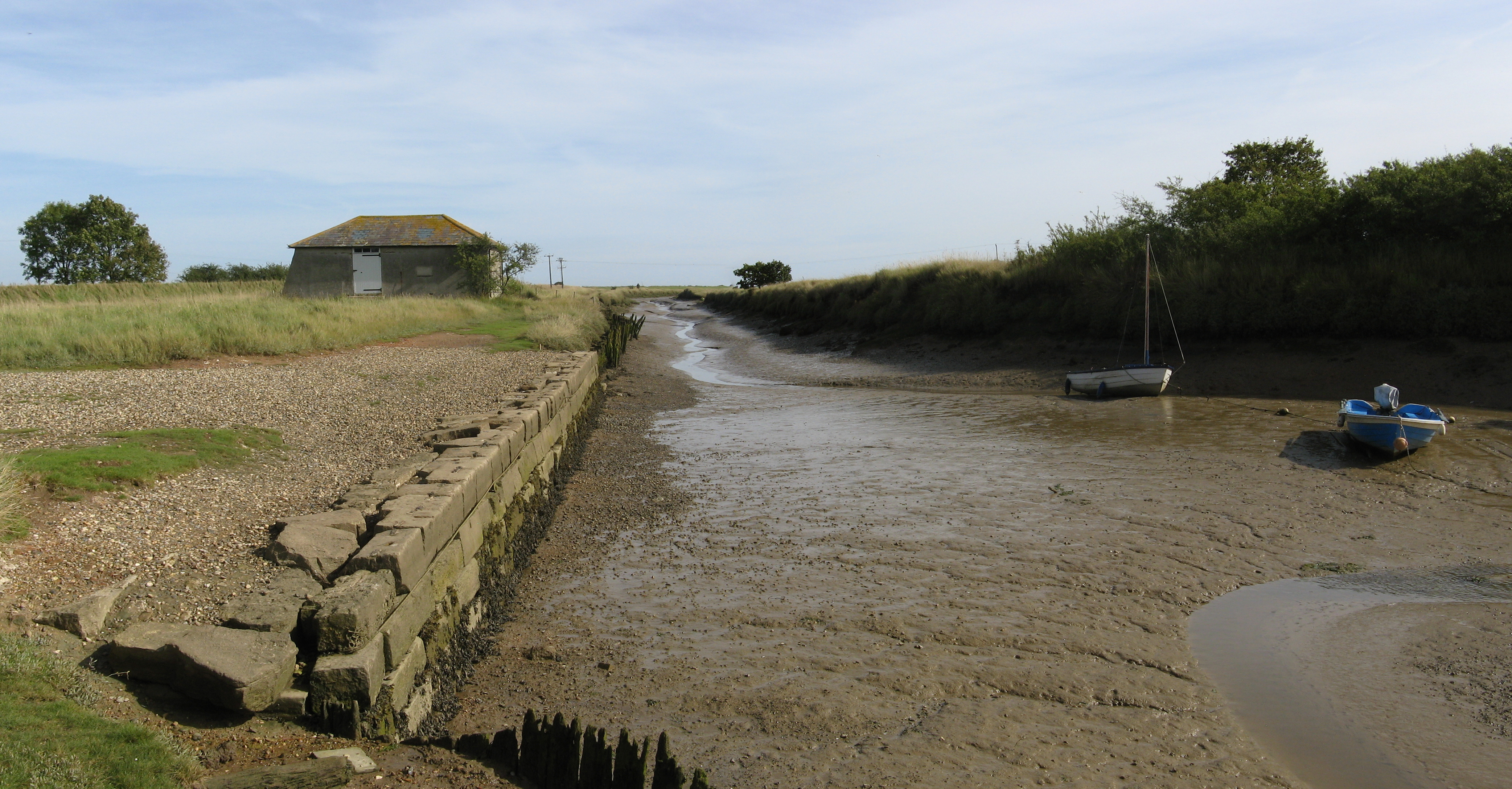
Killgrove Wood Images
Images are sourced within 2km of 51.895737/1.1425502 or Grid Reference TM1626. Thanks to Geograph Open Source API. All images are credited.


Killgrove Wood is located at Grid Ref: TM1626 (Lat: 51.895737, Lng: 1.1425502)
Administrative County: Essex
District: Tendring
Police Authority: Essex
What 3 Words
///discount.transfers.variances. Near Thorpe le Soken, Essex
Nearby Locations
Related Wikis

Stones Green
Stones Green is a hamlet near the village of Wix and the town of Harwich, in the Tendring district, in the English county of Essex. == References == A...
Wix, Essex
Wix is a village and civil parish in the Tendring district of north-east Essex, England. It lies in a small valley about 2 miles (3 km) south of the Stour...

Beaumont-cum-Moze
Beaumont-cum-Moze (grid reference TM175250) is a civil parish in the Tendring district of Essex, England. According to the 2001 census it had a population...

Wix Priory
Wix Priory was a Benedictine nunnery in Wix, Essex, England, founded in around 1125–1135 and dissolved in 1525. The buildings have not survived except...
St Mary's Church, Wix
St Mary's Church is a Grade II listed Anglican parish church in the village of Wix, Essex, England. Formerly associated with a priory from the Middle Ages...

Tendring
Tendring is a village and civil parish in Essex. It gives its name to the Tendring District and before that the Tendring Hundred. Its name was given to...
Great Oakley, Essex
Great Oakley is a village and civil parish in the Tendring district of Essex, England. It is a long, narrow parish lying on the top of a low (25 m) ridge...
Beaumont Cut
Beaumont Cut was a 1-kilometre-long (1,090 yd) canal linking Beaumont Quay, in the parish of Beaumont-cum-Moze, Tendring, Essex, England, with Hamford...
Nearby Amenities
Located within 500m of 51.895737,1.1425502Have you been to Killgrove Wood?
Leave your review of Killgrove Wood below (or comments, questions and feedback).