Beecham Wood
Wood, Forest in Kent Canterbury
England
Beecham Wood
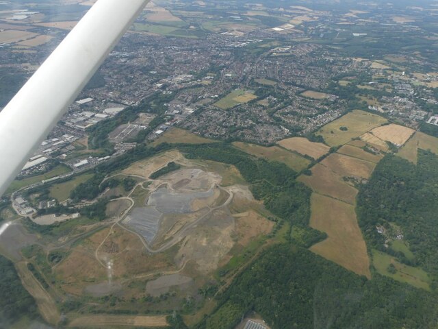
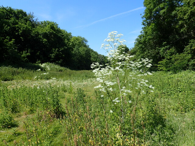
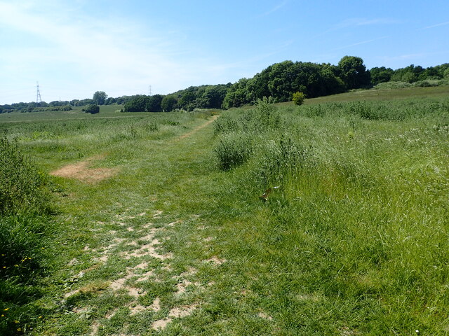
Beecham Wood, located in Kent, is a picturesque woodland area that spans across a vast expanse of approximately 200 acres. This enchanting forest is renowned for its dense beech tree population, which dominates the landscape and lends its name to the woodland. Situated near the town of Maidstone, Beecham Wood is easily accessible and attracts visitors from the local community as well as tourists.
The woodland is a haven for nature lovers, offering a diverse range of flora and fauna. The towering beech trees provide a canopy of shade, creating a serene and tranquil atmosphere within the forest. The forest floor is carpeted with a rich tapestry of bluebells and wildflowers during the spring, adding bursts of color to the greenery.
Beecham Wood is also home to a variety of wildlife, making it a popular destination for birdwatchers and animal enthusiasts. Visitors may spot various bird species, including woodpeckers, owls, and warblers, while lucky observers may even catch a glimpse of deer or foxes roaming through the undergrowth.
The wood offers a network of well-maintained footpaths and trails, making it ideal for leisurely walks and hikes. These pathways wind through the forest, leading visitors to captivating viewpoints and picnic spots, allowing them to immerse themselves in the natural beauty of the surroundings. Furthermore, the wood is equipped with information boards that educate visitors about the local ecology and history, adding an educational element to the experience.
Overall, Beecham Wood in Kent is a captivating forest that offers a peaceful retreat from the hustle and bustle of everyday life. Its breathtaking scenery, abundant wildlife, and well-maintained trails make it a must-visit destination for nature enthusiasts and those seeking a tranquil escape in the heart of the countryside.
If you have any feedback on the listing, please let us know in the comments section below.
Beecham Wood Images
Images are sourced within 2km of 51.306265/1.1020016 or Grid Reference TR1660. Thanks to Geograph Open Source API. All images are credited.


Beecham Wood is located at Grid Ref: TR1660 (Lat: 51.306265, Lng: 1.1020016)
Administrative County: Kent
District: Canterbury
Police Authority: Kent
What 3 Words
///operation.shack.stunning. Near Sturry, Kent
Nearby Locations
Related Wikis
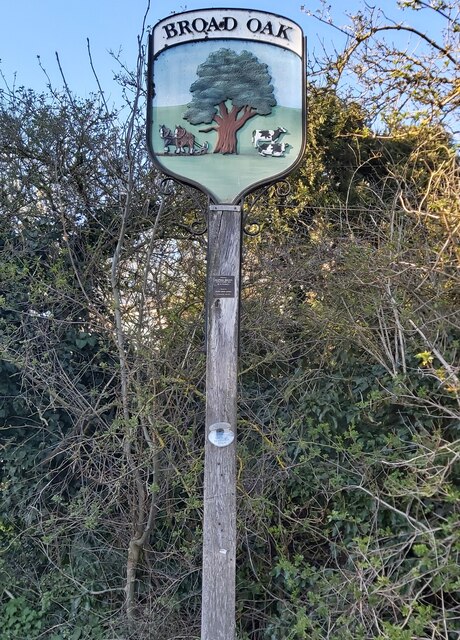
Broad Oak, Kent
Broad Oak is a village in Sturry parish, Kent, England. It lies west of the A291 road to Herne Bay; the centre of the village is about half a mile northwest...

Sturry Pit
Sturry Pit is a 0.7 hectares (1.7 acres) geological Site of Special Scientific Interest north-east of Canterbury in Kent. It is a Geological Conservation...
Sturry
Sturry is a village on the Great Stour river situated 3 miles (4.8 km) northeast of Canterbury in Kent. Its large civil parish incorporates several hamlets...

Tithe Barn, Sturry
The Tithe Barn, Sturry, Kent, England is a barn dating from the early 16th century. The barn was built as the tithe barn for the grange of St Augustine...
Sturry railway station
Sturry railway station is a railway station Kent, England, serving Sturry and Fordwich on the Ashford to Ramsgate line in Kent. It is 2+1⁄4 miles (3.6...

St Nicholas' Church, Sturry
St Nicholas' Church, Sturry, is a joint Anglican and Methodist church standing on a bank beside the River Stour, in the village of Sturry, near Canterbury...

Hackington
Hackington is an area of Canterbury in Kent, England, also known (especially historically) as St Stephen's, incorporating the northern part of the city...

Hales Place
The residential area known as Hales Place is part of the civil parish of Hackington, and lies to the north of the city of Canterbury in Kent, England....
Nearby Amenities
Located within 500m of 51.306265,1.1020016Have you been to Beecham Wood?
Leave your review of Beecham Wood below (or comments, questions and feedback).