Auchindrain
Settlement in Argyllshire
Scotland
Auchindrain

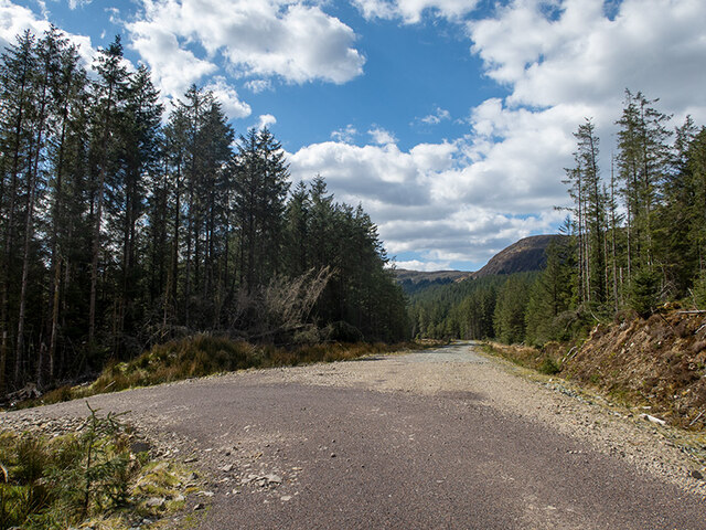
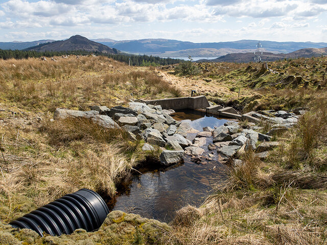
Auchindrain is a small village located in the county of Argyllshire, Scotland. Situated approximately 6 miles southeast of Inveraray, it is nestled in a picturesque valley surrounded by rolling hills and stunning natural beauty. The village is known for its well-preserved historic buildings, offering a unique glimpse into rural life in the 19th and early 20th centuries.
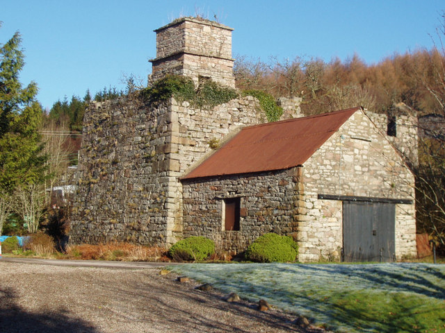
Auchindrain is home to an open-air museum that showcases a collection of original buildings, including traditional cottages, a blacksmith's forge, a watermill, and a schoolhouse. These structures have been carefully restored to provide visitors with an authentic experience of the village's past. Exploring the museum allows visitors to step back in time and learn about the daily lives of the people who once inhabited Auchindrain.
The village's rich history dates back centuries, with evidence of human settlement in the area from as early as the Iron Age. Over the years, Auchindrain has seen periods of agricultural prosperity and decline, reflecting the changing economic landscapes of rural Scotland. The museum offers insight into the challenges and triumphs faced by the community throughout its history.
Today, Auchindrain serves as a popular tourist destination, attracting visitors from near and far who are interested in Scotland's rural heritage. The village offers guided tours, workshops, and special events to engage visitors with its fascinating history. With its idyllic setting and well-preserved buildings, Auchindrain continues to be a window into the past, providing a valuable glimpse into Scotland's rural past.
If you have any feedback on the listing, please let us know in the comments section below.
Auchindrain Images
Images are sourced within 2km of 56.178781/-5.1754567 or Grid Reference NN0303. Thanks to Geograph Open Source API. All images are credited.


Auchindrain is located at Grid Ref: NN0303 (Lat: 56.178781, Lng: -5.1754567)
Unitary Authority: Argyll and Bute
Police Authority: Argyll and West Dunbartonshire
Also known as: Achadh an Droighinn
What 3 Words
///crackled.grandest.unique. Near Inveraray, Argyll & Bute
Nearby Locations
Related Wikis

Auchindrain
Auchindrain (Scottish Gaelic: Achadh an Droighinn: 'thorn field') lies on the A83, 6 miles (10 km) south of Inveraray in Argyll and Bute, Scotland. It...
Furnace, Argyll
Furnace (Scottish Gaelic: An Fhùirneis) (formerly Inverleacainn (Scottish Gaelic: Inbhir Leacainn)) is a village in Argyll and Bute, on the west coast...

Douglas Water, Loch Fyne
The Douglas Water (Scottish Gaelic: Dùghlas) is a river in Argyll in the southwest Scottish Highlands. It emerges from the northeastern end of the diminutive...

Loch Fyne
Loch Fyne (Scottish Gaelic: Loch Fìne, pronounced [l̪ˠɔx ˈfiːnə]; meaning "Loch of the Vine/Wine"), is a sea loch off the Firth of Clyde and forms part...
Nearby Amenities
Located within 500m of 56.178781,-5.1754567Have you been to Auchindrain?
Leave your review of Auchindrain below (or comments, questions and feedback).