Auchinderran
Settlement in Banffshire
Scotland
Auchinderran
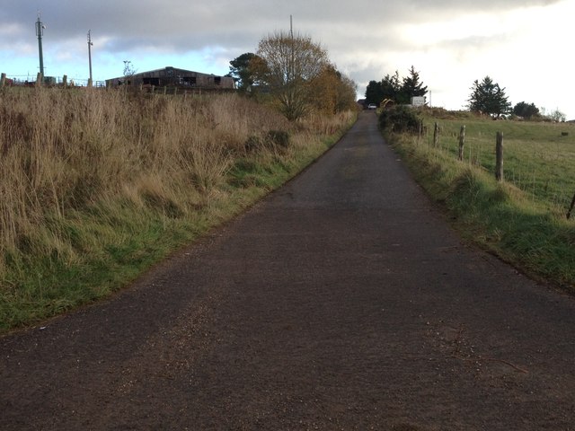
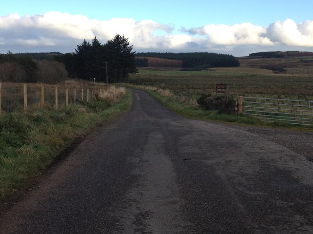
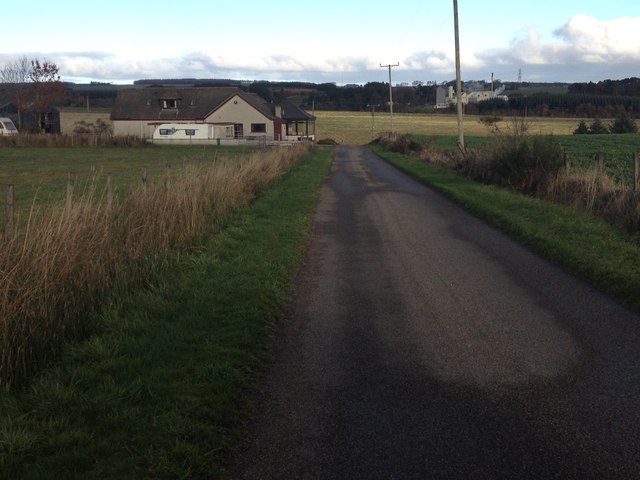
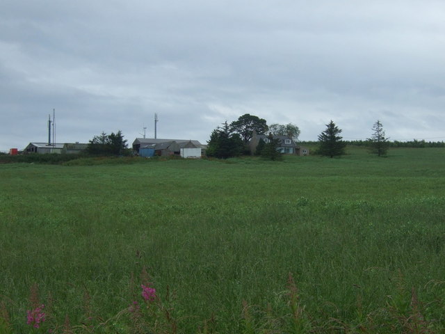
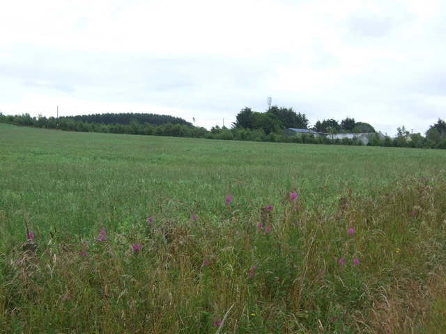
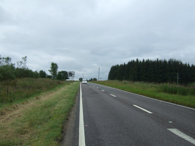
Auchinderran is a small village located in the historical county of Banffshire, Scotland. Situated in the northeast region of the country, it lies approximately 3 miles southeast of the town of Keith. Nestled amidst picturesque countryside, Auchinderran offers breathtaking views of rolling hills, lush green fields, and the meandering River Isla.
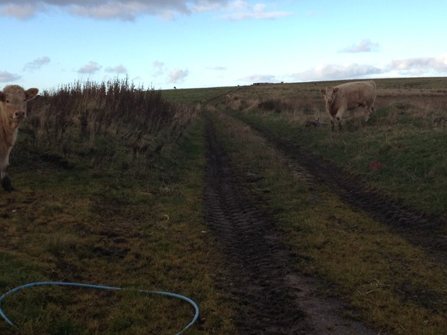
The village is known for its rich agricultural heritage, with farming being a significant part of its economy. The fertile lands surrounding Auchinderran are primarily used for cultivating crops such as barley, oats, and potatoes. The area is also dotted with traditional farmhouses and barns, adding to the rural charm of the region.
Auchinderran is home to a close-knit community, with a population of around 200 residents. The village boasts a well-maintained primary school, providing excellent educational opportunities for local children. Additionally, the village is served by a small shop, offering daily essentials to its inhabitants.
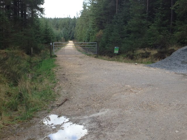
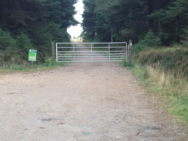
For outdoor enthusiasts, Auchinderran provides ample opportunities for exploration and recreation. The surrounding countryside offers numerous walking and cycling trails, allowing visitors to immerse themselves in the natural beauty of the area. Anglers can enjoy fishing in the nearby River Isla, which is known for its abundance of salmon and trout.
Overall, Auchinderran is a charming village that offers a peaceful and idyllic lifestyle amidst the stunning Scottish countryside. Its strong agricultural roots, friendly community, and natural beauty make it a truly special place to visit or call home.
If you have any feedback on the listing, please let us know in the comments section below.
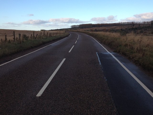
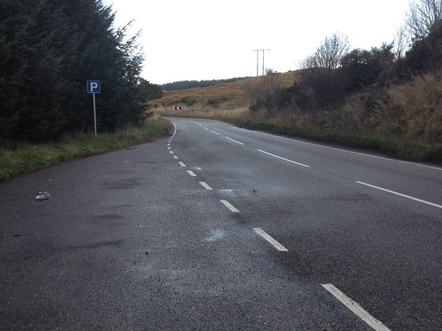
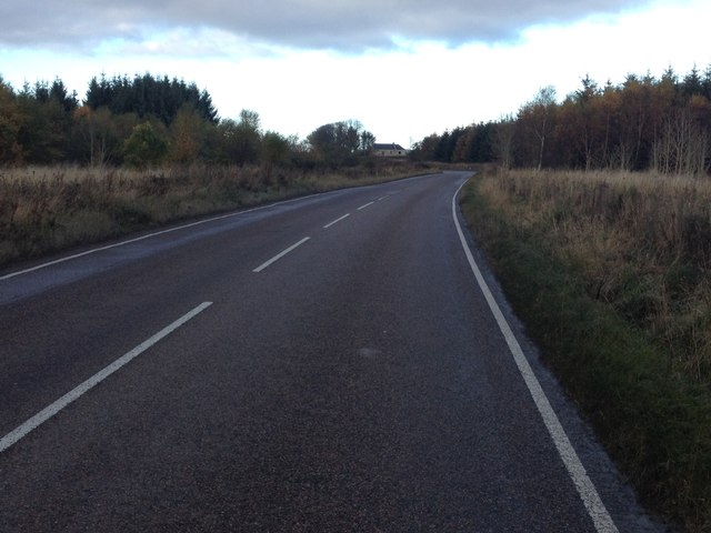
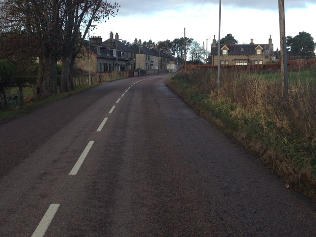
Auchinderran Images
Images are sourced within 2km of 57.581045/-3.0050284 or Grid Reference NJ4055. Thanks to Geograph Open Source API. All images are credited.
Auchinderran is located at Grid Ref: NJ4055 (Lat: 57.581045, Lng: -3.0050284)
Unitary Authority: Moray
Police Authority: North East
What 3 Words
///horseshoe.texts.flagged. Near Keith, Moray
Nearby Locations
Related Wikis

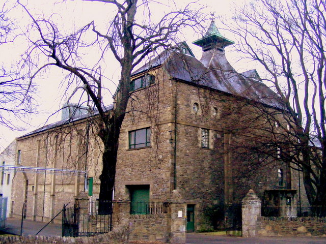
Aultmore distillery
Aultmore distillery is a whisky distillery in Keith, Moray, producing an eponymous single malt whisky. Its name is a derived from the phrase An t-Allt...

Aultmore
Aultmore (from Scottish Gaelic "An t-Allt Mòr", meaning the "Big Burn") is a village in Moray, Scotland, near Keith. == References ==
Aultmore railway station
Aultmore railway station was a station which served the village of Aultmore, in the Scottish county of Moray. It was served by trains on the Buckie and...

A96 road
The A96 is a major road in the north of Scotland. It runs generally west/north-west from Aberdeen, bypassing Blackburn, Kintore, Inverurie, Huntly, Fochabers...

Newmill
Newmill is a planned village 2 kilometres (1.2 mi) north of the town of Keith in the Moray council area of north-east Scotland. The resident population...

Keith railway station
Keith railway station is a railway station serving the town of Keith, Moray, Scotland. The station is managed by ScotRail and is on the Aberdeen to Inverness...
Glen Keith distillery
Glen Keith distillery is a Speyside, single malt Scotch whisky distillery built by Chivas Brothers owned by the Pernod Ricard group since 2001 within eyesight...
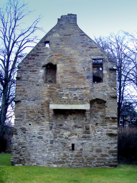
Milton Tower
Milton Tower is a ruined castle in Keith, Moray in Scotland. Built and remodelled over several centuries, it was started around 1480 for George Ogilvie...
Nearby Amenities
Located within 500m of 57.581045,-3.0050284Have you been to Auchinderran?
Leave your review of Auchinderran below (or comments, questions and feedback).