Well Plantation
Wood, Forest in Norfolk North Norfolk
England
Well Plantation

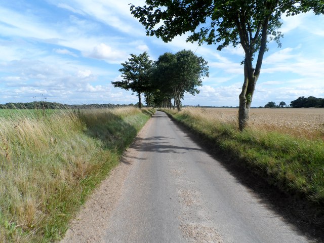
Well Plantation is a sprawling woodland located in Norfolk, England. Covering an area of approximately 400 acres, the plantation is known for its dense and diverse forest, providing a haven for a wide range of flora and fauna. The plantation is situated near the village of Well, just a few miles west of the bustling market town of Fakenham.
The woodland is primarily composed of deciduous trees, including oak, ash, beech, and birch, which create a vibrant and ever-changing landscape throughout the seasons. The dense canopy of trees provides a sheltered environment, attracting a rich variety of wildlife. Visitors to the plantation can witness numerous bird species, such as woodpeckers, nightingales, and warblers, along with small mammals like foxes, rabbits, and squirrels.
Well Plantation is also home to a network of walking trails, allowing visitors to explore the natural beauty of the woodland at their own pace. The paths wind through the forest, offering stunning views of the surrounding countryside and providing a peaceful retreat for nature enthusiasts and hikers alike.
The plantation is actively managed by local conservationists, who work to preserve and enhance the natural habitat. This includes selective tree thinning and the planting of new saplings to ensure the long-term sustainability of the woodland ecosystem.
Overall, Well Plantation is a captivating destination for those seeking solace in nature. With its picturesque landscape, diverse wildlife, and well-maintained trails, it offers a truly immersive experience in the heart of Norfolk's woodlands.
If you have any feedback on the listing, please let us know in the comments section below.
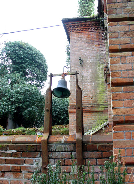
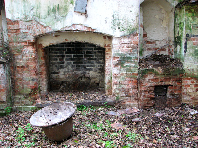
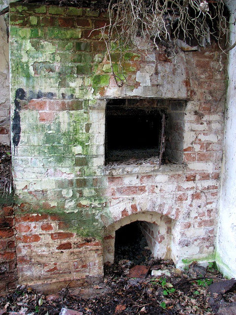
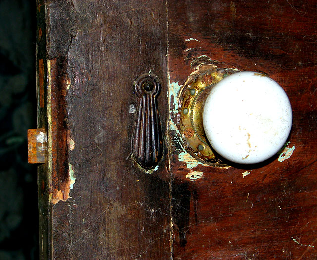
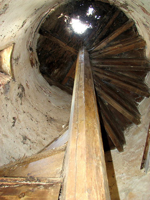
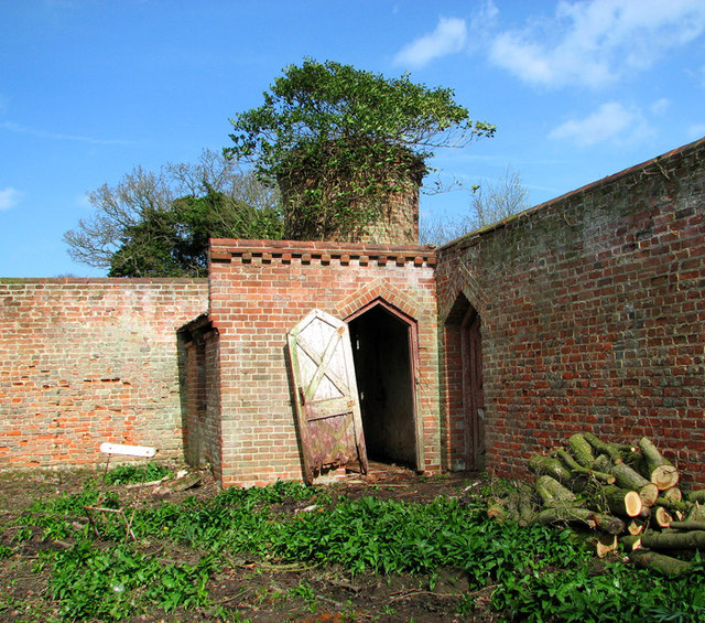
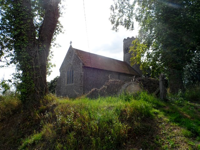
Well Plantation Images
Images are sourced within 2km of 52.871498/1.2052245 or Grid Reference TG1535. Thanks to Geograph Open Source API. All images are credited.


Well Plantation is located at Grid Ref: TG1535 (Lat: 52.871498, Lng: 1.2052245)
Administrative County: Norfolk
District: North Norfolk
Police Authority: Norfolk
What 3 Words
///solutions.parked.spending. Near Sheringham, Norfolk
Nearby Locations
Related Wikis

Matlaske
Matlaske is a village and a civil parish in the English county of Norfolk. The village is 21.6 miles (34.8 km) North-north-west of Norwich, 9.3 miles...
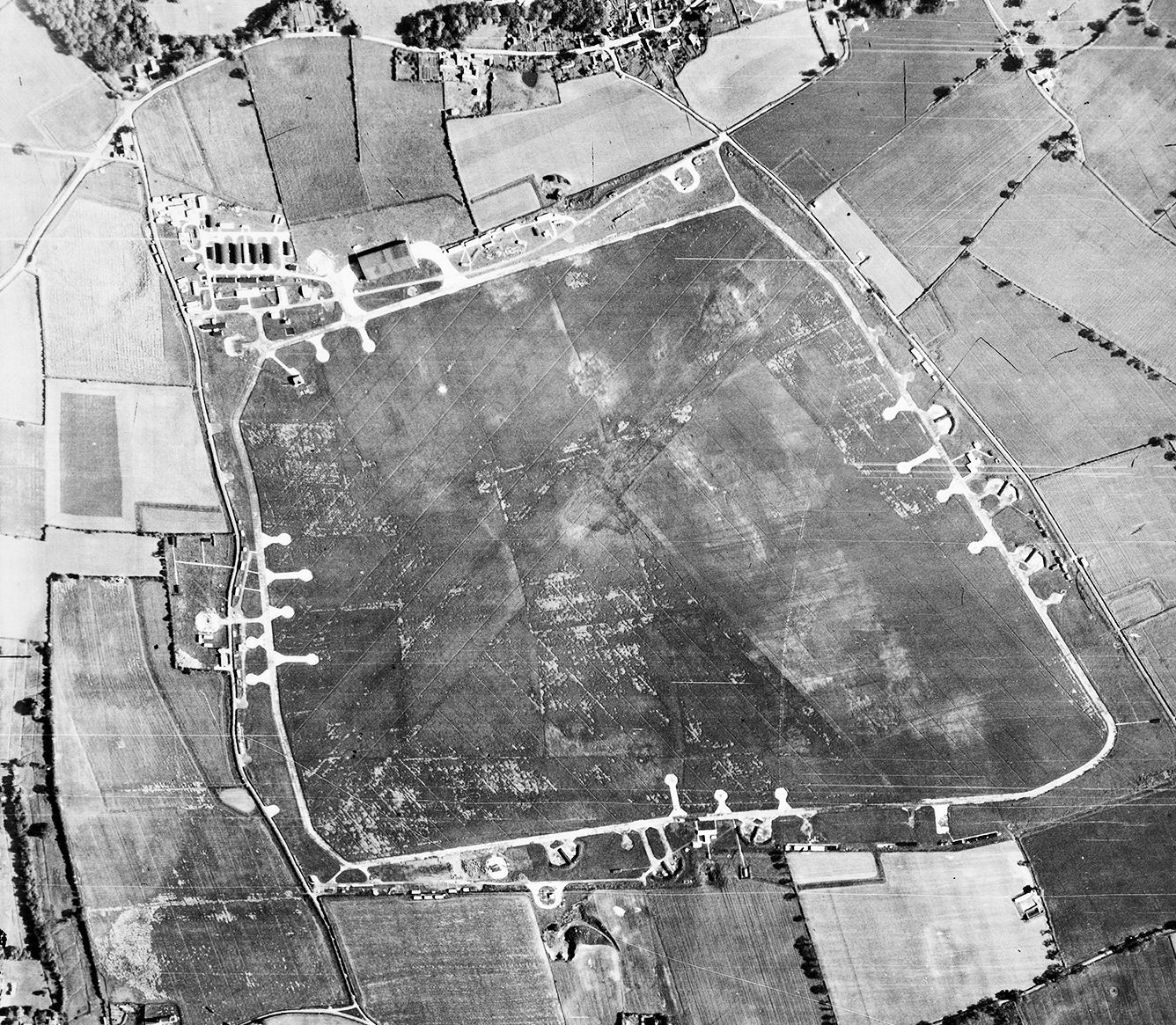
RAF Matlaske
Royal Air Force Matlaske or more simply RAF Matlaske is a former Royal Air Force satellite station to RAF Coltishall, situated near Matlaske in Norfolk...
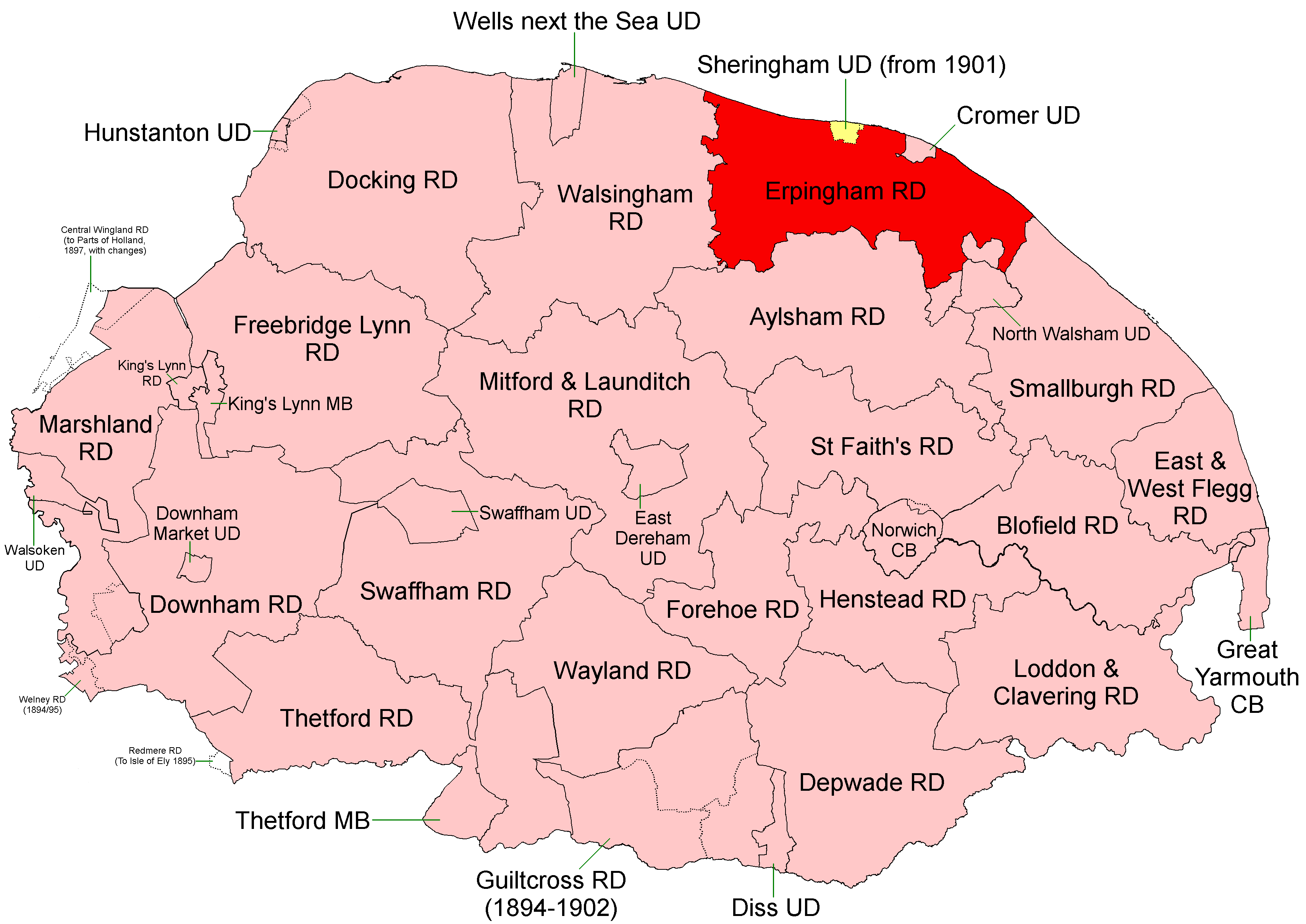
Erpingham Rural District
Erpingham Rural District was a rural district in Norfolk, England from 1894 to 1974.It was formed under the Local Government Act 1894 based on the Erpingham...

Bessingham
Bessingham is a village and former civil parish, now in the parish of Sustead, in the North Norfolk district of the English county of Norfolk. It lies...
North Barningham
North Barningham is a hamlet within the civil parish of Gresham in the English county of Norfolk. The hamlet is 7 miles (11 km) south-west of Cromer, 23...

All Saints Church, Thurgarton
All Saints' Church is a redundant Anglican church in the village of Thurgarton, Norfolk, England. It is recorded in the National Heritage List for England...
Thurgarton, Norfolk
Thurgarton is a village and former civil parish, now in the parish of Aldborough and Thurgarton, in the North Norfolk district of the county of Norfolk...

Wickmere
Wickmere is a village and a civil parish in the English county of Norfolk, 18.9 miles (30.4 km) north of Norwich, 7.3 miles (11.7 km) south-southwest...
Nearby Amenities
Located within 500m of 52.871498,1.2052245Have you been to Well Plantation?
Leave your review of Well Plantation below (or comments, questions and feedback).