Stonehall Wood
Wood, Forest in Essex Tendring
England
Stonehall Wood

Stonehall Wood is a charming forest located in the county of Essex, in the southeastern part of England. Covering an area of approximately 100 hectares, this woodland is a haven for nature lovers and outdoor enthusiasts. The forest is situated near the village of Stonehall and is easily accessible by road, making it a popular destination for locals and tourists alike.
With its diverse range of flora and fauna, Stonehall Wood offers visitors a chance to immerse themselves in the beauty of nature. The woodland is predominantly composed of broadleaf trees such as oak, beech, and birch, creating a picturesque landscape that changes dramatically with the seasons. In spring, the forest comes alive with colorful wildflowers, while autumn showcases a stunning display of vibrant foliage.
The forest is home to a variety of wildlife, providing ample opportunities for wildlife spotting and birdwatching. Visitors may encounter deer, foxes, squirrels, and numerous species of birds, including woodpeckers and owls. For those interested in learning more about the forest's inhabitants, there are educational nature trails and guided walks available.
Stonehall Wood also offers recreational activities for visitors to enjoy. There are well-maintained walking trails that crisscross the forest, allowing visitors to explore its hidden corners and discover its natural wonders. Picnic areas are scattered throughout the woodland, providing the perfect spot to relax and soak in the tranquil atmosphere.
Overall, Stonehall Wood is a captivating destination that combines natural beauty, biodiversity, and recreational opportunities. Whether it's a peaceful walk, wildlife spotting, or simply enjoying a picnic amidst the trees, this woodland offers a delightful escape from the hustle and bustle of everyday life.
If you have any feedback on the listing, please let us know in the comments section below.
Stonehall Wood Images
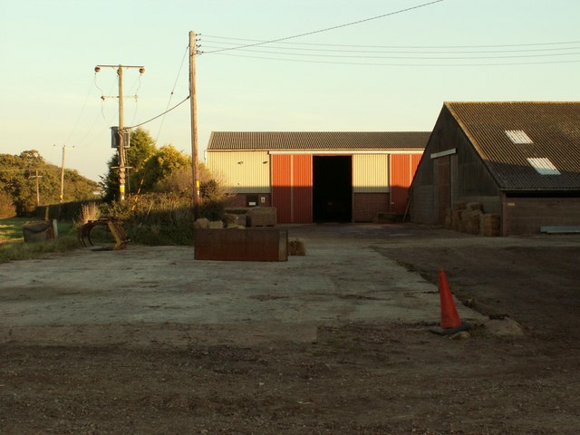
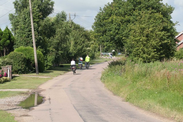
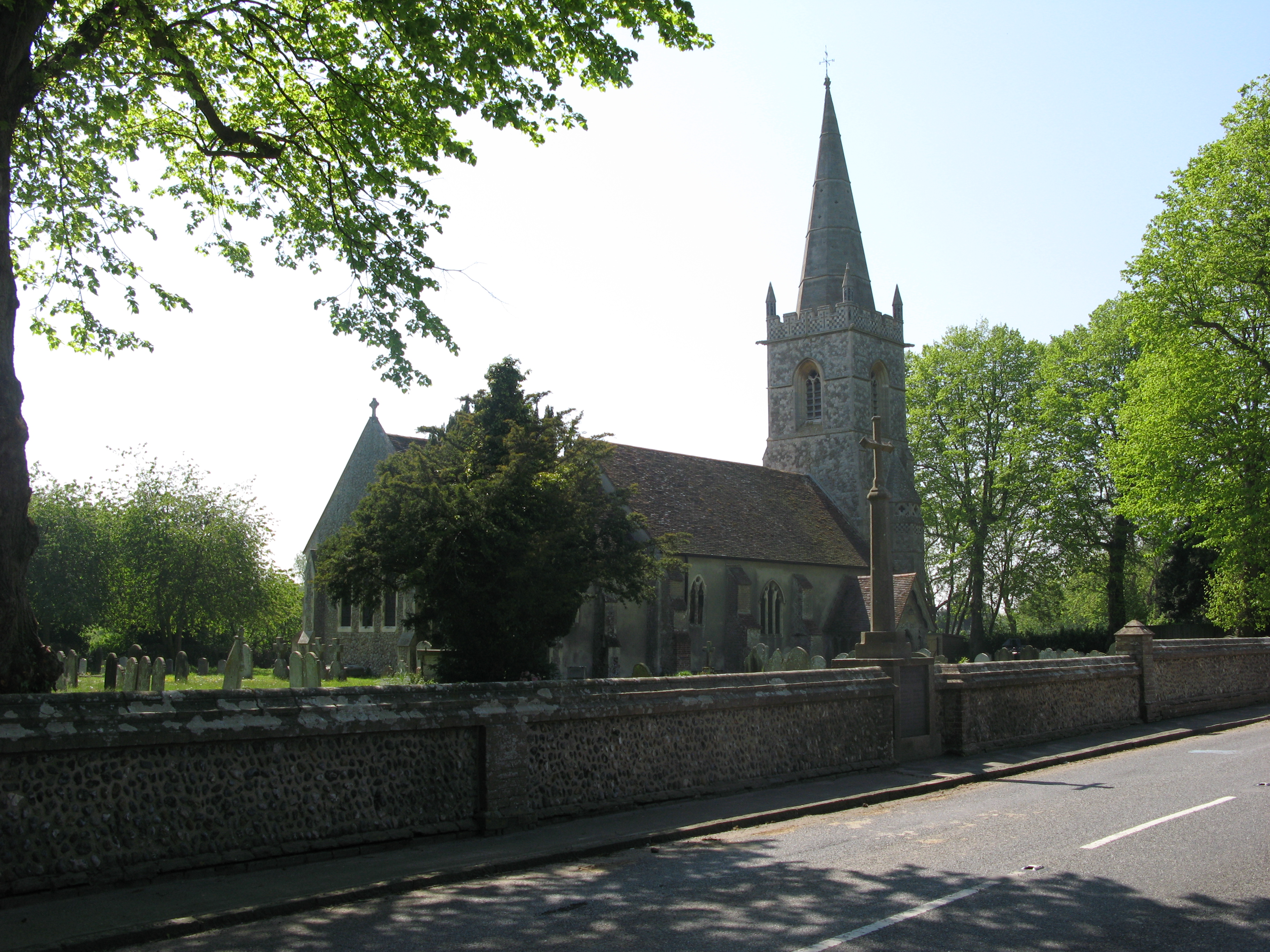
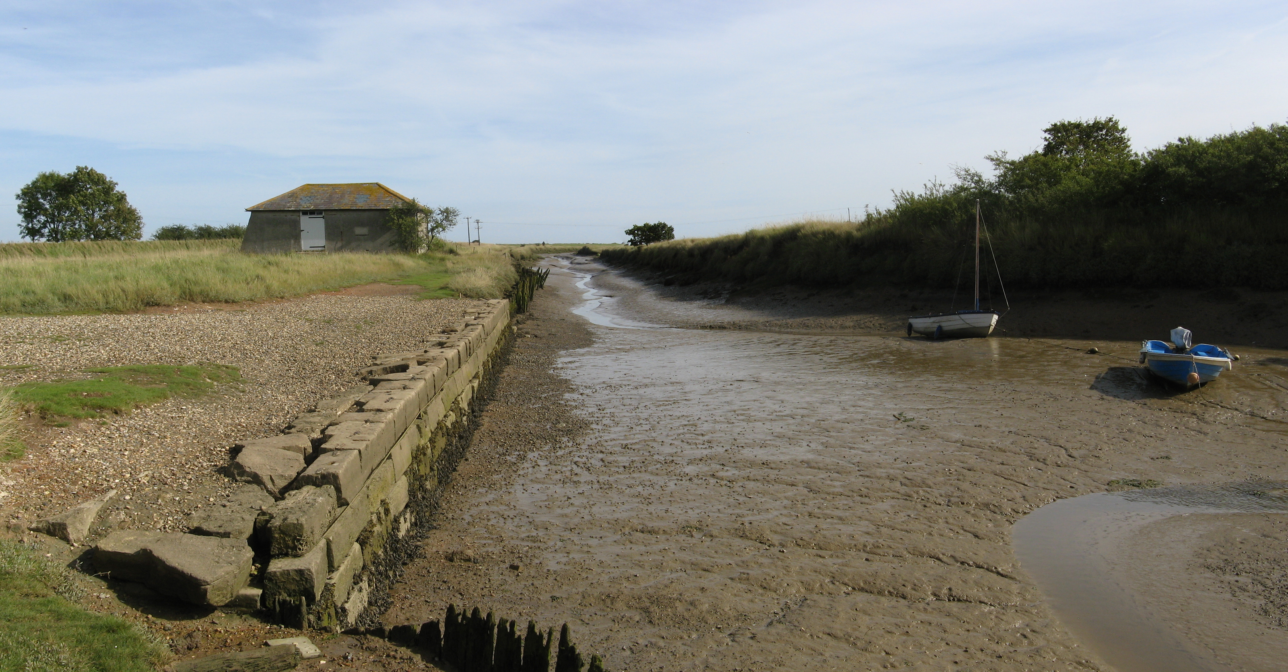
Images are sourced within 2km of 51.887178/1.1346708 or Grid Reference TM1525. Thanks to Geograph Open Source API. All images are credited.


Stonehall Wood is located at Grid Ref: TM1525 (Lat: 51.887178, Lng: 1.1346708)
Administrative County: Essex
District: Tendring
Police Authority: Essex
What 3 Words
///wedding.romantics.ballpoint. Near Thorpe le Soken, Essex
Nearby Locations
Related Wikis

Stones Green
Stones Green is a hamlet near the village of Wix and the town of Harwich, in the Tendring district, in the English county of Essex. == References == A...

Beaumont-cum-Moze
Beaumont-cum-Moze (grid reference TM175250) is a civil parish in the Tendring district of Essex, England. According to the 2001 census it had a population...
Tendring
Tendring is a village and civil parish in Essex. It gives its name to the Tendring District and before that the Tendring Hundred. Its name was given to...
Wix, Essex
Wix is a village and civil parish in the Tendring district of north-east Essex, England. It lies in a small valley about 2 miles (3 km) south of the Stour...
Comarques, Thorpe-le-Soken
Comarques is an 18th-century country house in Thorpe-le-Soken, Essex, England. It has been attributed to the architect, Sir Robert Taylor. Named after...

Wix Priory
Wix Priory was a Benedictine nunnery in Wix, Essex, England, founded in around 1125–1135 and dissolved in 1525. The buildings have not survived except...
St Mary's Church, Wix
St Mary's Church is a Grade II listed Anglican parish church in the village of Wix, Essex, England. Formerly associated with a priory from the Middle Ages...
Beaumont Cut
Beaumont Cut was a 1-kilometre-long (1,090 yd) canal linking Beaumont Quay, in the parish of Beaumont-cum-Moze, Tendring, Essex, England, with Hamford...
Nearby Amenities
Located within 500m of 51.887178,1.1346708Have you been to Stonehall Wood?
Leave your review of Stonehall Wood below (or comments, questions and feedback).