Stulps Plantation
Wood, Forest in Norfolk North Norfolk
England
Stulps Plantation
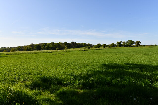
Stulps Plantation, located in Norfolk, is a picturesque woodland area known for its natural beauty and diverse ecosystem. Covering a vast expanse of land, the plantation is characterized by dense forests, lush greenery, and a tranquil atmosphere.
The woodland is home to a variety of tree species, including oak, beech, pine, and maple, which create a vibrant and colorful canopy throughout the year. The forest floor is covered in a thick layer of moss, adding to the enchanting ambiance of the plantation.
Stulps Plantation is not only visually appealing, but it also serves as an important habitat for numerous wildlife species. The forest provides shelter and sustenance for a range of animals, such as deer, foxes, rabbits, and a wide variety of bird species. Birdwatchers can often spot owls, woodpeckers, and songbirds flitting among the branches.
Visitors can explore the plantation through a network of well-maintained trails that wind their way through the woodland. These paths offer the opportunity to immerse oneself in nature, with the sound of birdsong and the scent of the forest filling the air.
The plantation is a popular destination for nature enthusiasts and hikers, offering a peaceful retreat from the hustle and bustle of city life. It provides ample opportunities for outdoor activities, including birdwatching, photography, and nature walks.
Overall, Stulps Plantation in Norfolk is a remarkable woodland area that showcases the beauty of nature. Its diverse flora and fauna, coupled with its serene atmosphere, make it a must-visit destination for anyone seeking a connection with the natural world.
If you have any feedback on the listing, please let us know in the comments section below.
Stulps Plantation Images
Images are sourced within 2km of 52.838161/1.1928615 or Grid Reference TG1531. Thanks to Geograph Open Source API. All images are credited.


Stulps Plantation is located at Grid Ref: TG1531 (Lat: 52.838161, Lng: 1.1928615)
Administrative County: Norfolk
District: North Norfolk
Police Authority: Norfolk
What 3 Words
///flesh.passports.foggy. Near Aylsham, Norfolk
Nearby Locations
Related Wikis
Itteringham
Itteringham is a village and civil parish in the English county of Norfolk, some 4+1⁄2 miles (7.2 km) northwest of the market town of Aylsham. It covers...

Wolterton Hall
Wolterton Hall, is a large country house in the ecclesiastical parish of Wickmere with Wolterton and the civil parish of Wickmere in the county of Norfolk...

Little Barningham
Little Barningham is a village and a civil parish in the English county of Norfolk. The village is 19 miles (31 km) north of Norwich, 10 miles (16 km)...
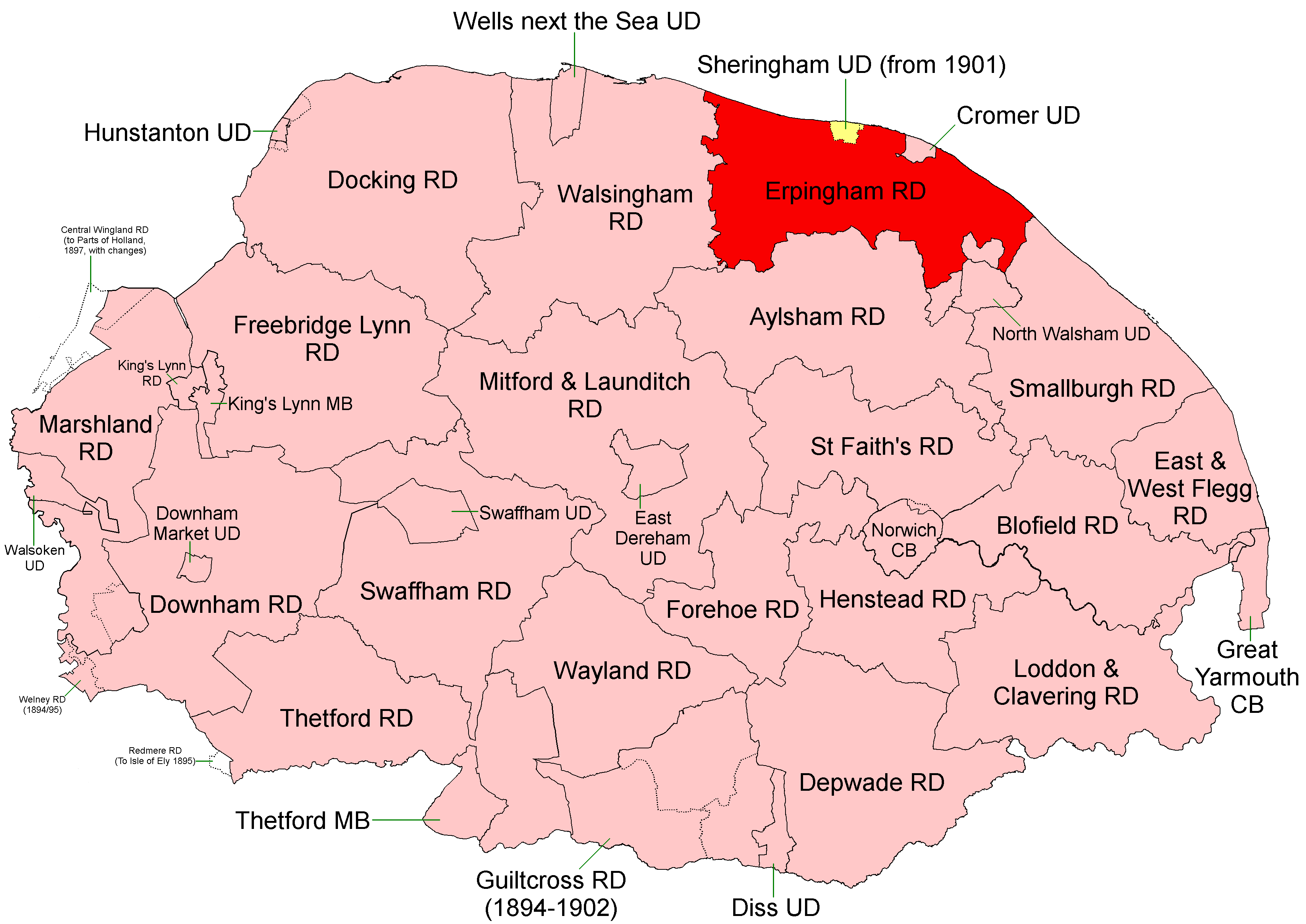
Erpingham Rural District
Erpingham Rural District was a rural district in Norfolk, England from 1894 to 1974. It was formed under the Local Government Act 1894 based on the Erpingham...
Have you been to Stulps Plantation?
Leave your review of Stulps Plantation below (or comments, questions and feedback).