Hill Pine Plantation
Wood, Forest in Norfolk Broadland
England
Hill Pine Plantation
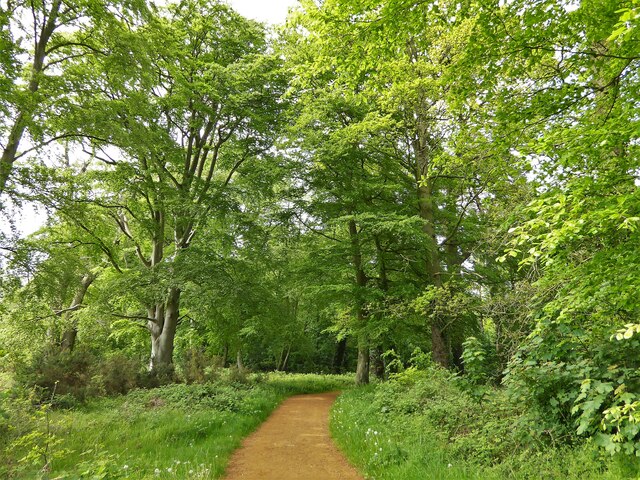
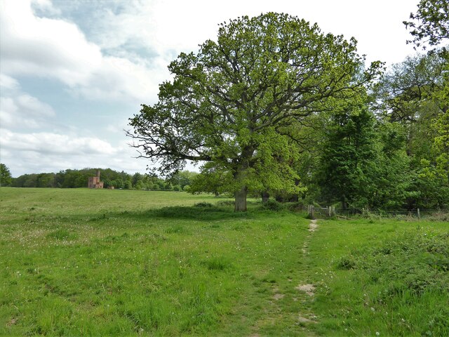
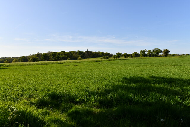
Hill Pine Plantation, located in Norfolk, is a scenic woodland area known for its dense concentration of pine trees. Spread over a vast expanse, this forest is a prominent feature of the Norfolk landscape. The plantation is characterized by its rolling hills, offering stunning views of the surrounding countryside.
The predominant tree species found in Hill Pine Plantation is the longleaf pine (Pinus palustris), which is known for its tall and straight trunks. These majestic trees provide a dense canopy that offers shade and shelter to a rich variety of flora and fauna. The forest floor is carpeted with a diverse mix of native plants, such as ferns, wildflowers, and mosses.
Hill Pine Plantation is an important ecological site, providing habitat for numerous wildlife species. Deer, rabbits, and squirrels are commonly spotted among the trees, while various bird species, including woodpeckers and owls, can be heard and seen throughout the year.
The forest is also of historical significance, as it was once part of a larger plantation that played a significant role in the region's past. The wood harvested from the plantation was used for construction, shipbuilding, and fuel, contributing to the economic development of the area.
Visitors to Hill Pine Plantation can enjoy the tranquility and natural beauty of the forest by hiking or walking along its well-maintained trails. Educational programs and guided tours are also available, providing insight into the ecological and historical importance of this woodland area.
If you have any feedback on the listing, please let us know in the comments section below.
Hill Pine Plantation Images
Images are sourced within 2km of 52.819536/1.1811335 or Grid Reference TG1429. Thanks to Geograph Open Source API. All images are credited.


Hill Pine Plantation is located at Grid Ref: TG1429 (Lat: 52.819536, Lng: 1.1811335)
Administrative County: Norfolk
District: Broadland
Police Authority: Norfolk
What 3 Words
///actors.intruded.deflect. Near Aylsham, Norfolk
Nearby Locations
Related Wikis
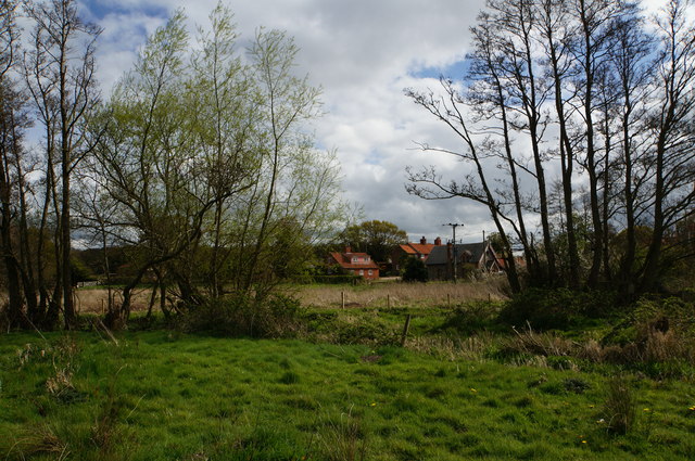
Itteringham
Itteringham is a village and civil parish in the English county of Norfolk, some 4+1⁄2 miles (7.2 km) northwest of the market town of Aylsham. It covers...

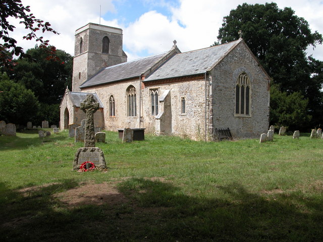
Oulton, Norfolk
Oulton is a village and civil parish in Norfolk, England. Nearby towns are Reepham and Aylsham. The parish covers an area of 10.58 km2 (4.08 sq mi) and...
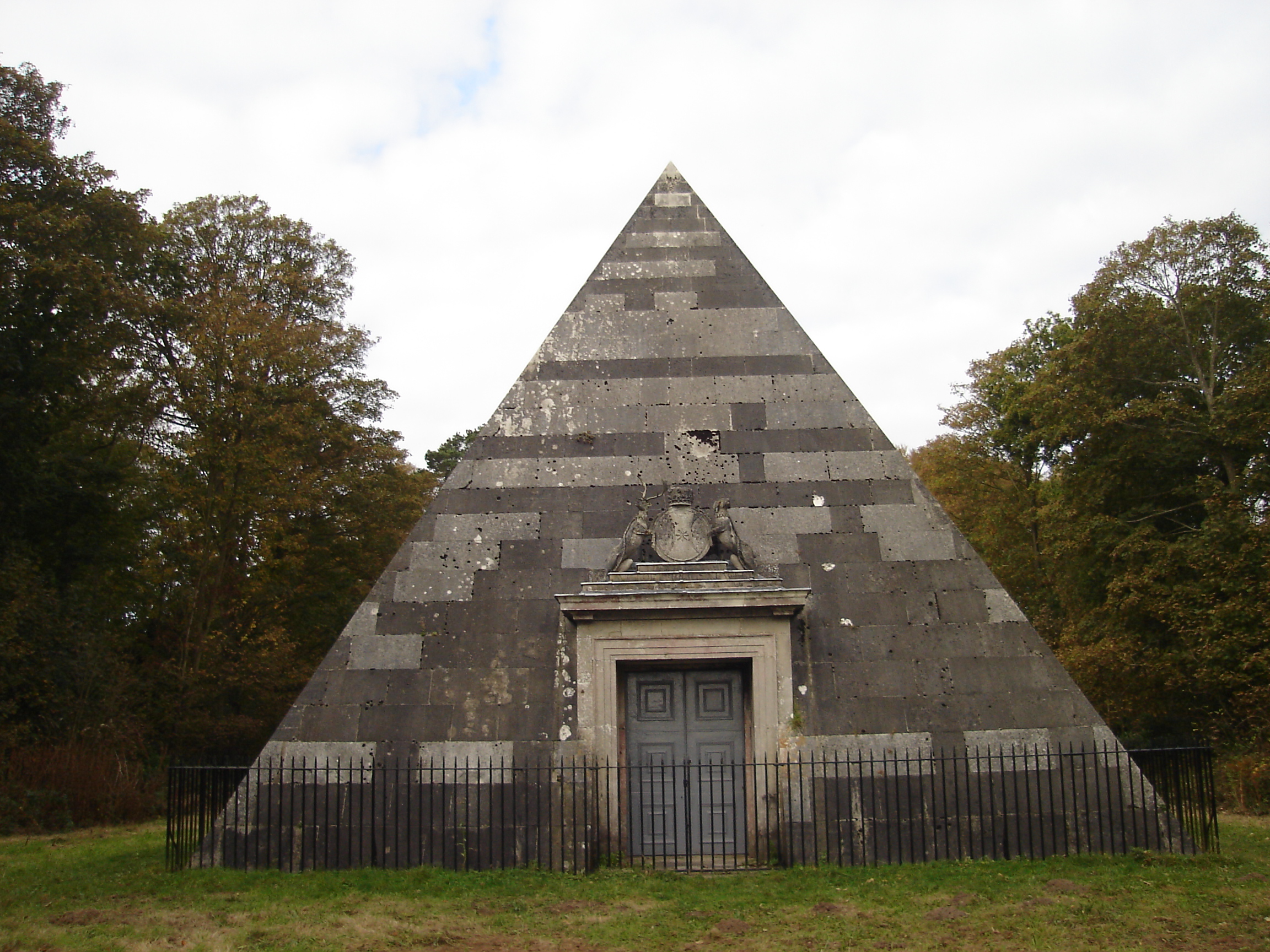
Blickling Park mausoleum
The Blickling Park mausoleum is a Grade II* listed building in the grounds of Blickling Hall, Norfolk, England. It was commissioned in 1793 by Lady Caroline...

RAF Oulton
Royal Air Force Oulton or more simply RAF Oulton is a former Royal Air Force satellite station located 3 miles (4.8 km) west of Aylsham, Norfolk and 12...
Nearby Amenities
Located within 500m of 52.819536,1.1811335Have you been to Hill Pine Plantation?
Leave your review of Hill Pine Plantation below (or comments, questions and feedback).