Chapel Plantation

Wood, Forest in Norfolk Broadland

England

Chapel Plantation

Church Lane Church Lane crossroad.
Church Lane Credit: P Gaskell

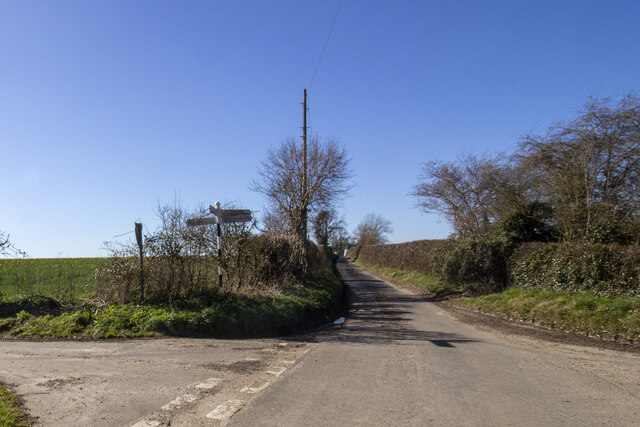
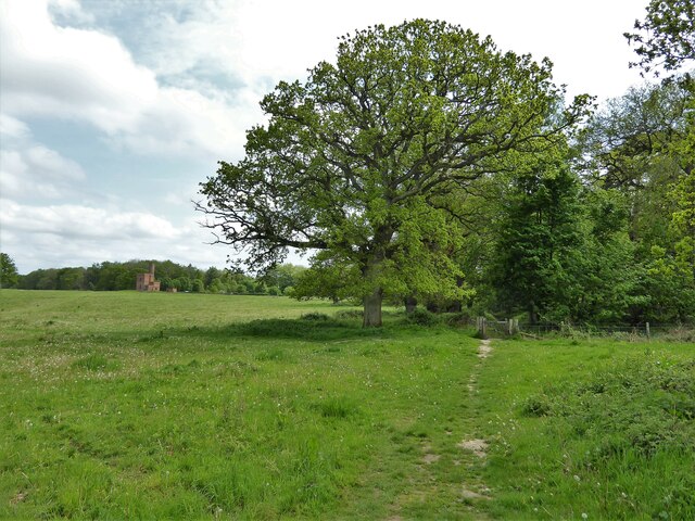
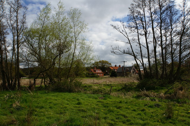
Chapel Plantation, located in Norfolk, is a picturesque woodland area known for its natural beauty and diverse ecosystem. The plantation covers a vast area, consisting mainly of dense forest and rich woodlands. It is a popular destination for nature enthusiasts, hikers, and wildlife enthusiasts.

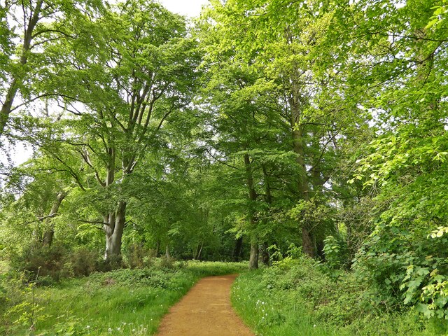
The woodlands of Chapel Plantation are home to a wide variety of trees, including oak, beech, and birch, creating a vibrant and lush environment. The dense foliage provides a perfect habitat for a myriad of animal species, including deer, foxes, badgers, and numerous bird species.

The plantation is well-maintained, with several well-marked trails that allow visitors to explore the woodlands and immerse themselves in the tranquility of nature. These trails offer a range of difficulty levels, catering to both casual strollers and more experienced hikers. Additionally, there are picnic areas scattered throughout the plantation, providing visitors with the opportunity to relax and enjoy a meal amidst the natural surroundings.

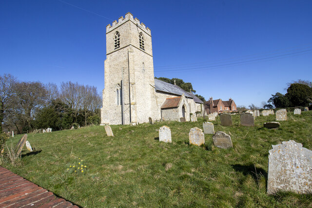
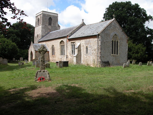
Chapel Plantation is also known for its historical significance, with remnants of an ancient chapel that once stood on the site. The chapel, which dates back several centuries, adds a touch of mystique and charm to the plantation.

Overall, Chapel Plantation in Norfolk is a haven for nature lovers, offering an escape from the hustle and bustle of city life. With its stunning woodlands, diverse wildlife, and well-maintained trails, it provides the perfect setting for those seeking solace and a connection with nature.

If you have any feedback on the listing, please let us know in the comments section below.

Chapel Plantation Images

Images are sourced within 2km of 52.81879/1.176106 or Grid Reference TG1429. Thanks to Geograph Open Source API. All images are credited.

Church Lane Church Lane crossroad.
Church Lane
Church Lane crossroad.
The Church of St Peter and St Paul at Oulton Church and churchyard
The Church of St Peter and St Paul at Oulton
Church and churchyard
Spink's Lane Spink's Lane public right of way
Spink's Lane
Spink's Lane public right of way
Blickling Estate Boundary Walk Entering Bucks Common west of The Tower
Blickling Estate Boundary Walk
Entering Bucks Common west of The Tower
Blickling Estate Walk Path leaving Hyde Park at the gate ahead and entering Bucks Common. The Tower is visible on the horizon.
Blickling Estate Walk
Path leaving Hyde Park at the gate ahead and entering Bucks Common. The Tower is visible on the horizon.
River Bure near Itteringham Part of the course of the River Bure between Itteringham and Blickling Great Wood.
River Bure near Itteringham
Part of the course of the River Bure between Itteringham and Blickling Great Wood.
River Bure The River Bure about 100 metres downstream from the footbridge over the river just north of Itteringham Common.
River Bure
The River Bure about 100 metres downstream from the footbridge over the river just north of Itteringham Common.
Itteringham Mill As seen from the road past Hill Farm, Itteringham. During WW2, some of the officers stationed at RAF Matlask were billeted here.
Itteringham Mill
As seen from the road past Hill Farm, Itteringham. During WW2, some of the officers stationed at RAF Matlask were billeted here.
Grazing land by River Bure Near Itteringham Common.
Grazing land by River Bure
Near Itteringham Common.
Grazing land near Itteringham Common By the River Bure, Norfolk.
Grazing land near Itteringham Common
By the River Bure, Norfolk.
Footpath to Dairy Farm
Cattle in field near Itteringham
Old  building and cattle, Itteringham
Old building and cattle, Itteringham
Kincardine, Itteringham View across a field towards the village.
Kincardine, Itteringham
View across a field towards the village.
Itteringham footpath Through gorse and silver birch woodland.
Itteringham footpath
Through gorse and silver birch woodland.
Ordnance Survey Cut Mark This can be found on the wall of St Mary's Church at Itteringham.
For more detail see : <span class="nowrap"><a title="http://www.bench-marks.org.uk/bm68740" rel="nofollow ugc noopener" href="http://www.bench-marks.org.uk/bm68740">Link</a><img style="margin-left:2px;" alt="External link" title="External link - shift click to open in new window" src="https://s1.geograph.org.uk/img/external.png" width="10" height="10"/></span>
Ordnance Survey Cut Mark
This can be found on the wall of St Mary's Church at Itteringham. For more detail see : LinkExternal link
The Church of St Mary at Itteringham Viewed from the south-east,
The Church of St Mary at Itteringham
Viewed from the south-east,
Old AA information sign at Itteringham Holt 8 miles, Aylsham 4½, London 121¼. How very precise but of little use.
I believe the building to which it is affixed used to be a motor workshop. More details please.
Old AA information sign at Itteringham
Holt 8 miles, Aylsham 4½, London 121¼. How very precise but of little use. I believe the building to which it is affixed used to be a motor workshop. More details please.
Show me another place!

Chapel Plantation is located at Grid Ref: TG1429 (Lat: 52.81879, Lng: 1.176106)

Administrative County: Norfolk

District: Broadland

Police Authority: Norfolk

What 3 Words

///king.submerged.propelled. Near Aylsham, Norfolk

Related Wikis

Oulton, Norfolk

Oulton is a village and civil parish in Norfolk, England. Nearby towns are Reepham and Aylsham. The parish covers an area of 10.58 km2 (4.08 sq mi) and...

Itteringham

Itteringham is a village and civil parish in the English county of Norfolk, some 4+1⁄2 miles (7.2 km) northwest of the market town of Aylsham. It covers...

RAF Oulton

Royal Air Force Oulton or more simply RAF Oulton is a former Royal Air Force satellite station located 3 miles (4.8 km) west of Aylsham, Norfolk and 12...

Blickling Park mausoleum

The Blickling Park mausoleum is a Grade II* listed building in the grounds of Blickling Hall, Norfolk, England. It was commissioned in 1793 by Lady Caroline...

Nearby Amenities

Located within 500m of 52.81879,1.176106
Advertising: board
Operator: Oulton Parish Council
Support: billboard
Lat/Long: 52.8198842/1.1798345
Post Box
Colour: red
Operator: Royal Mail
Post Box Type: lamp
Royal Cypher: EIIR
Royal Cypher Wikidata: Q33102113
Lat/Long: 52.8199171/1.1798702
Colour: red and white
Marker: aerial
Utility: gas
Lat/Long: 52.8202032/1.1749935
Colour: red
Marker: post
Utility: gas
Lat/Long: 52.8202033/1.1749957
The data included in this document is from www.openstreetmap.org. The data is made available under ODbL.

Have you been to Chapel Plantation?

Leave your review of Chapel Plantation below (or comments, questions and feedback).