Foxton
Settlement in Cambridgeshire South Cambridgeshire
England
Foxton

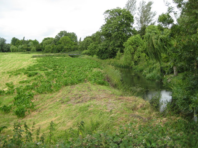
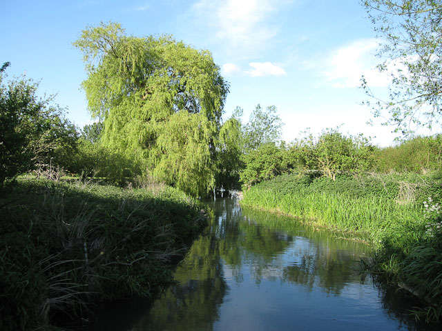
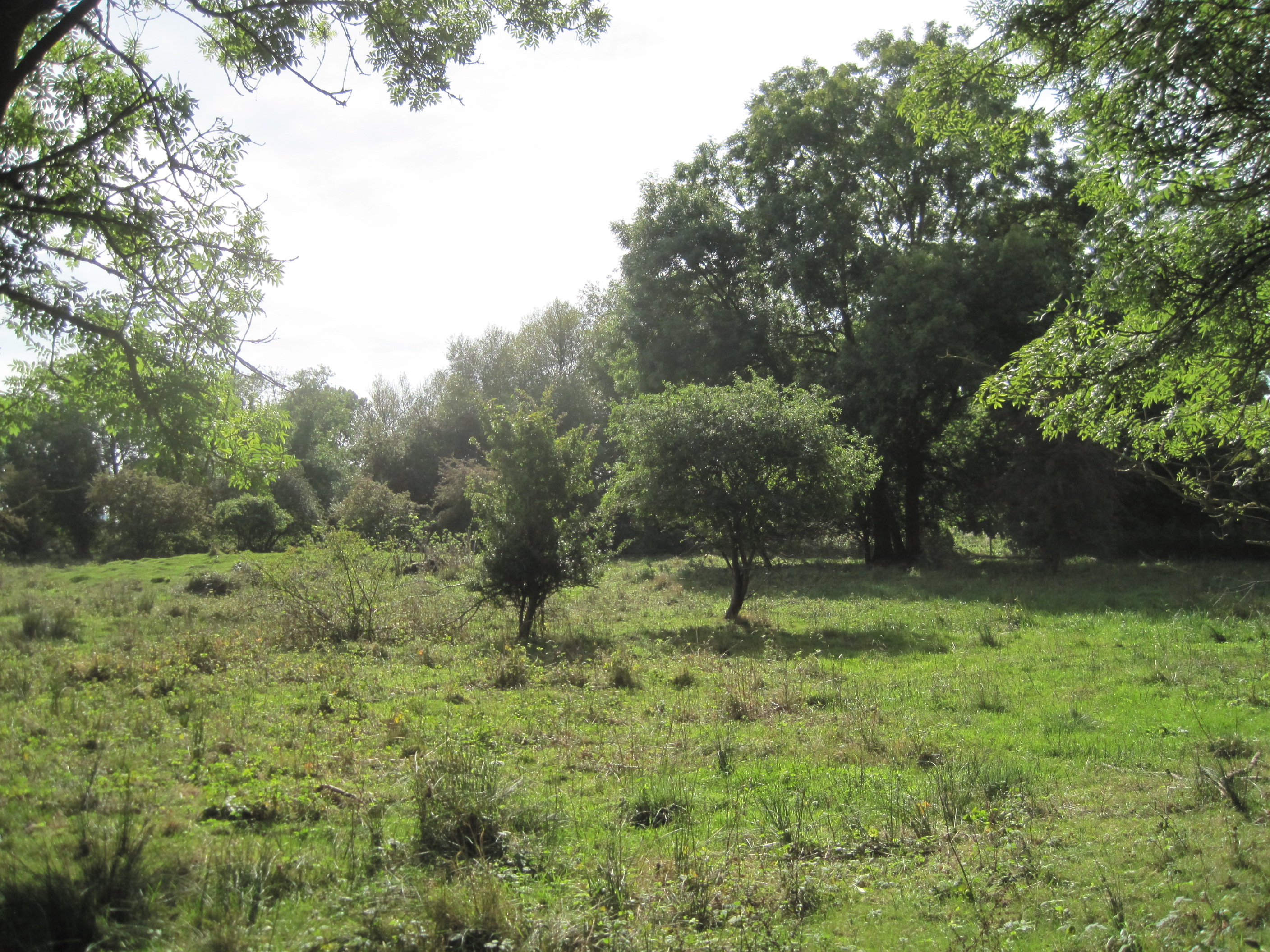
Foxton is a small village located in Cambridgeshire, England. Situated approximately 8 miles southwest of the city of Cambridge, it falls within the South Cambridgeshire district. The village is nestled on the banks of the River Cam and is surrounded by picturesque countryside, offering residents and visitors a tranquil and scenic environment.
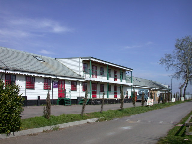
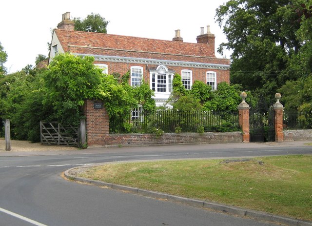
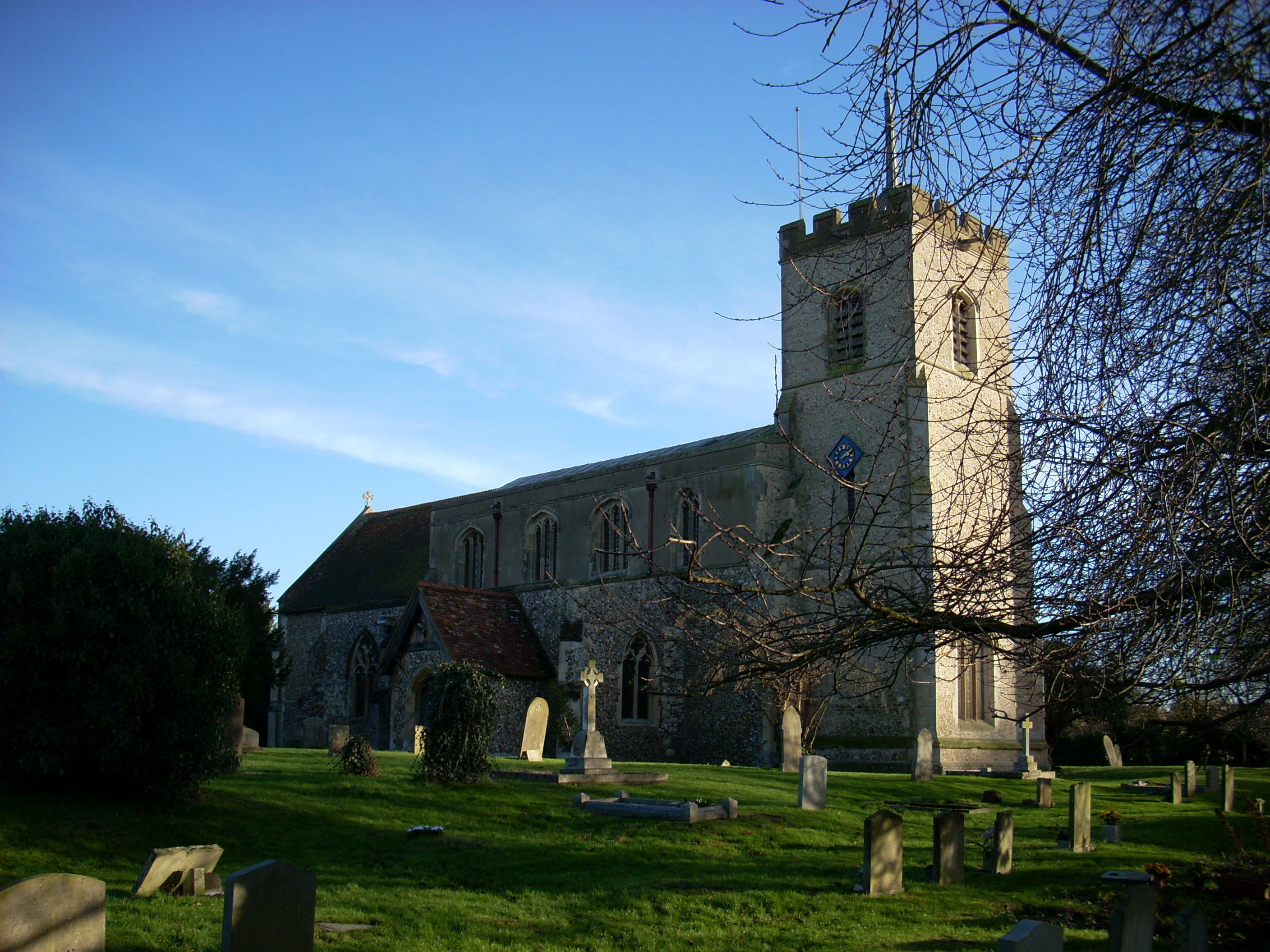
Foxton is known for its charming and traditional English village atmosphere. It is home to a close-knit community with a population of around 1,200 residents. The village features a range of amenities, including a local primary school, a village hall, and a post office. There is also a village shop, a pub, and a church, which all contribute to the village's sense of community.
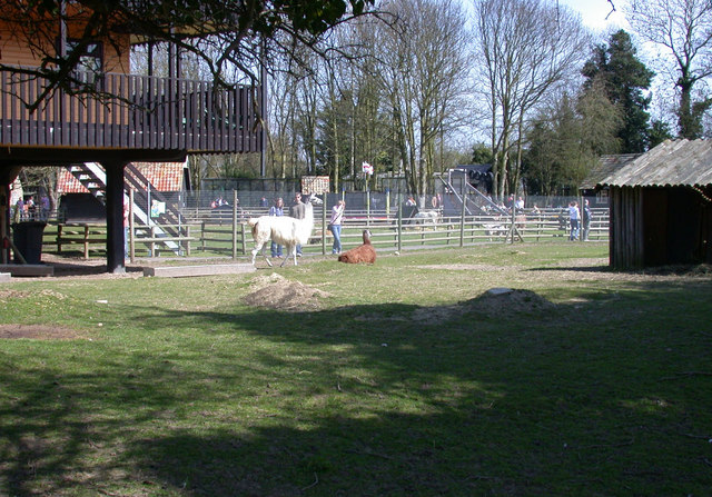
One of the notable attractions in Foxton is the Foxton Locks, a flight of ten canal locks on the Grand Union Canal. This historic site dates back to the early 19th century and attracts visitors from far and wide. The locks provide a fascinating insight into the region's industrial past and offer a pleasant spot for leisurely walks along the canal towpath.
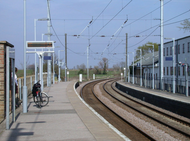
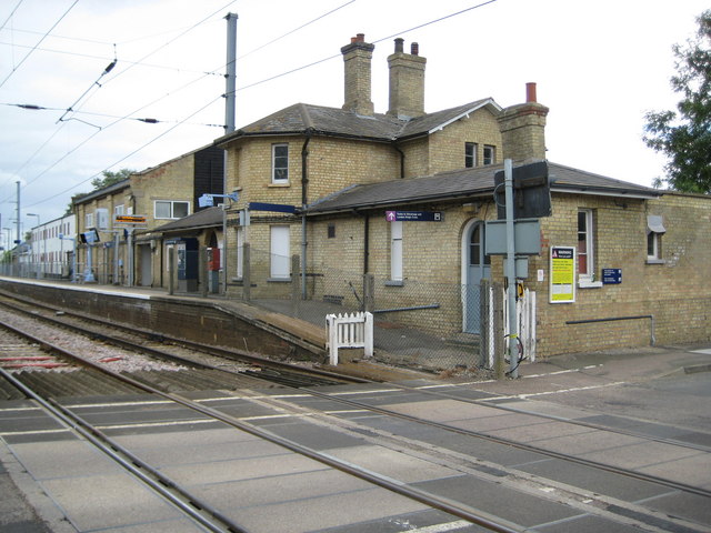
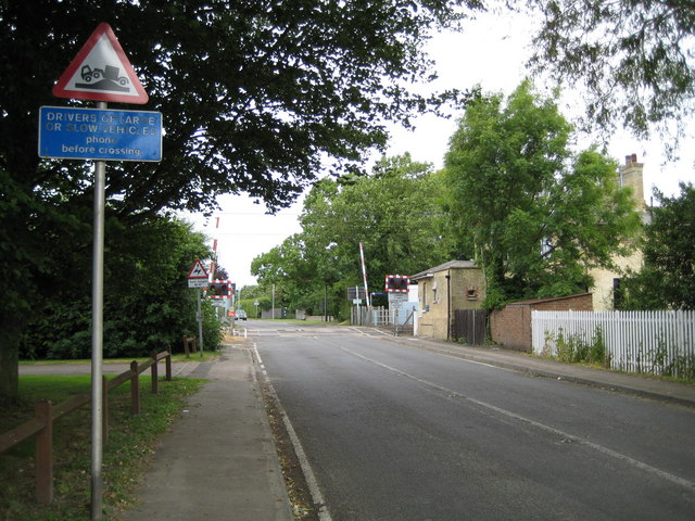
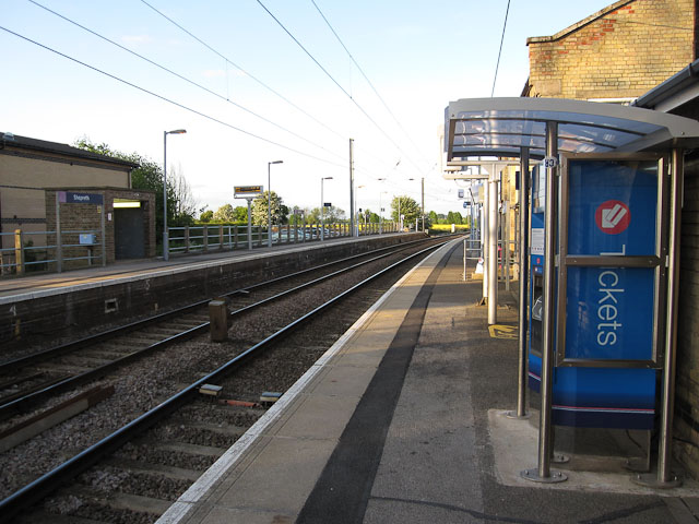
Foxton is well-connected to surrounding areas by road and rail. The nearby M11 motorway provides easy access to London and other major cities, while the Foxton railway station offers regular train services to Cambridge, London, and other destinations.
Overall, Foxton is a charming village that offers a peaceful and picturesque setting, making it an attractive place to live or visit for those seeking a slice of rural English life.
If you have any feedback on the listing, please let us know in the comments section below.
Foxton Images
Images are sourced within 2km of 52.114904/0.058388354 or Grid Reference TL4148. Thanks to Geograph Open Source API. All images are credited.


Foxton is located at Grid Ref: TL4148 (Lat: 52.114904, Lng: 0.058388354)
Administrative County: Cambridgeshire
District: South Cambridgeshire
Police Authority: Cambridgeshire
What 3 Words
///apes.officers.quilt. Near Fowlmere, Cambridgeshire
Related Wikis
Foxton, Cambridgeshire
Foxton is a small village in South Cambridgeshire, England. It has a number of well-preserved fifteenth- and sixteenth-century houses, and a thirteenth...
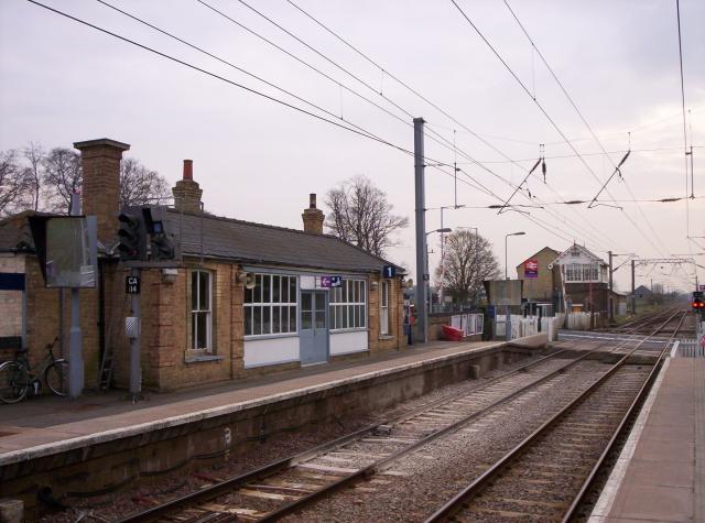
Foxton railway station
Foxton railway station serves the village of Foxton in Cambridgeshire, England. It is 50 miles 77 chains (50.96 miles, 82.02 km) from London King's Cross...

Shepreth
Shepreth is a small village and civil parish in South Cambridgeshire, lying halfway between Cambridge and Royston. == History == The parish of Shepreth...

Shepreth railway station
Shepreth railway station serves the village of Shepreth in Cambridgeshire, England. The station is on the Cambridge Line, 49 miles 67 chains (49.84 miles...
Rowley's Hill
Rowley's Hill is a hill in Cambridgeshire, near the villages of Harston and Newton. Although of only moderate height (50 m/164 ft), it has a relatively...

Barrington, Cambridgeshire
Barrington is a small village and civil parish in the South Cambridgeshire district of Cambridgeshire, England. The village is about 7 miles (11 km) south...
L-Moor, Shepreth
L-Moor, Shepreth is a 6.6-hectare (16-acre) biological Site of Special Scientific Interest in Shepreth in Cambridgeshire. It is managed by the Wildlife...

Harston railway station
Harston was a railway station on the Cambridge Line, which served the village of Harston in Cambridgeshire. The station opened on 1 April 1852, and closed...
Nearby Amenities
Located within 500m of 52.114904,0.058388354Have you been to Foxton?
Leave your review of Foxton below (or comments, questions and feedback).