Furze Ground
Wood, Forest in Norfolk South Norfolk
England
Furze Ground
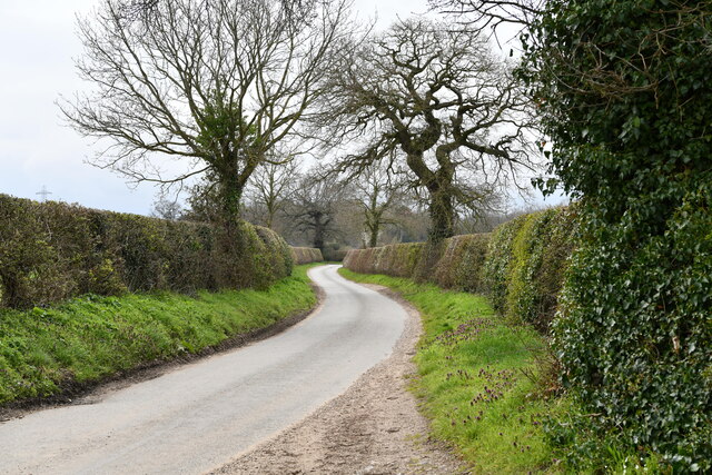
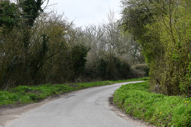
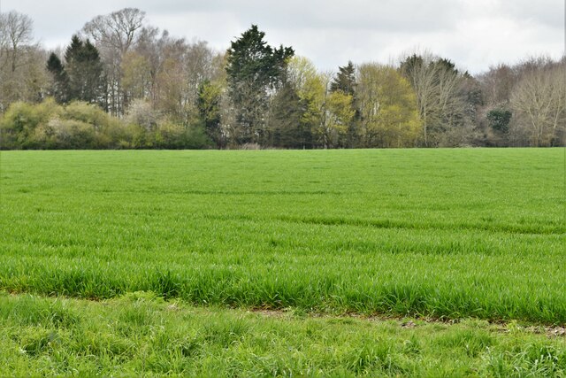
Furze Ground is a picturesque woodland located in the county of Norfolk, England. Nestled in the heart of the Norfolk countryside, this serene forest covers an area of approximately 500 acres and is a popular destination for nature enthusiasts and outdoor adventurers alike.
The woodland is primarily composed of dense thickets of gorse bushes, giving it its distinctive name. These vibrant yellow shrubs create a mesmerizing contrast against the lush green foliage, particularly during the blooming season when they burst into a riot of color. The gorse bushes also provide a valuable habitat for various species of birds and insects.
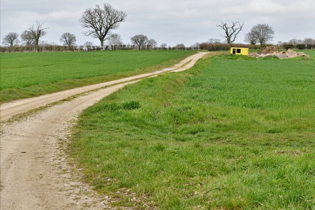
Traversing through Furze Ground, visitors will find a network of well-maintained footpaths and trails, allowing them to explore the woodland at their own pace. These trails wind through the ancient trees, offering stunning views of the surrounding landscape and the opportunity to spot woodland creatures such as deer, foxes, and rabbits.
For those seeking a more immersive experience, the forest also offers designated camping areas where visitors can spend the night under the stars. This allows them to truly disconnect from the hustle and bustle of daily life and embrace the tranquility of nature.
Furze Ground is also a popular spot for outdoor activities such as hiking, birdwatching, and photography. With its diverse range of plant and animal life, it provides an ideal setting for capturing stunning shots of the natural world.
In conclusion, Furze Ground is a captivating woodland in Norfolk, offering visitors a chance to connect with nature and enjoy the beauty of the English countryside.
If you have any feedback on the listing, please let us know in the comments section below.
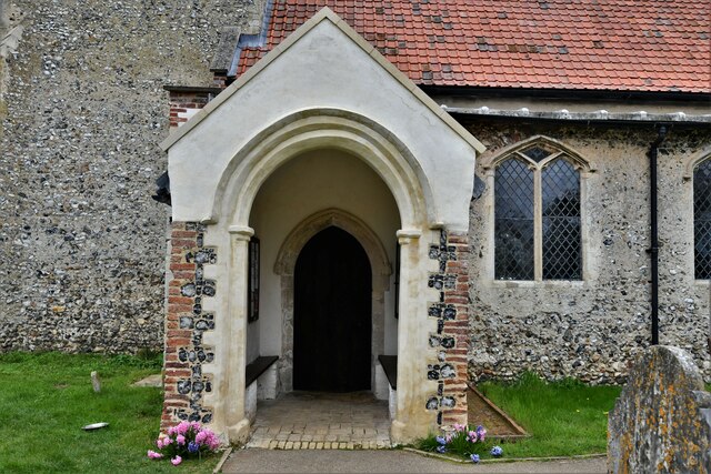
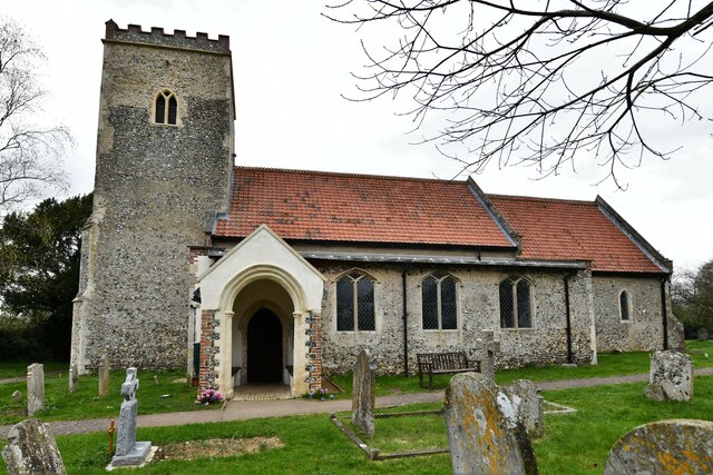
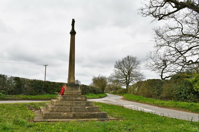
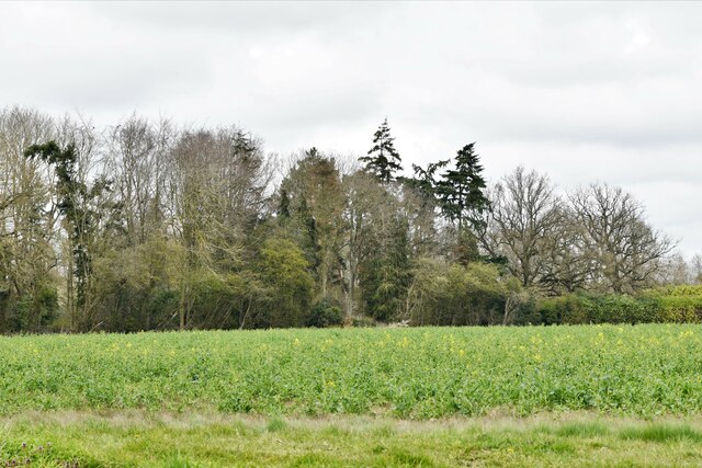
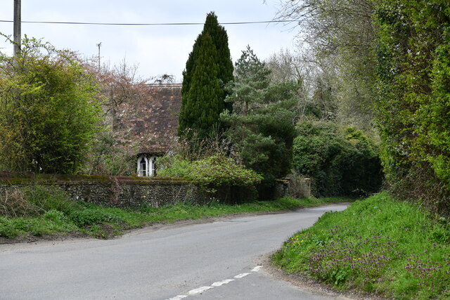
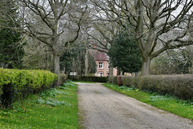
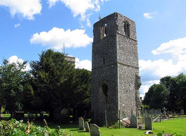
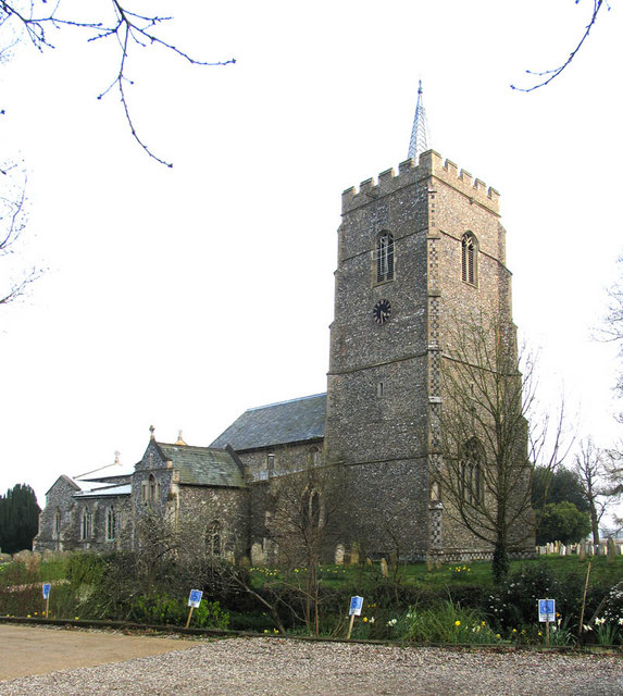
Furze Ground Images
Images are sourced within 2km of 52.616696/1.158832 or Grid Reference TG1306. Thanks to Geograph Open Source API. All images are credited.


Furze Ground is located at Grid Ref: TG1306 (Lat: 52.616696, Lng: 1.158832)
Administrative County: Norfolk
District: South Norfolk
Police Authority: Norfolk
What 3 Words
///flagging.browser.fantastic. Near Hethersett, Norfolk
Related Wikis
Great Melton
Great Melton is a civil parish in the English county of Norfolk. It covers an area of 10.24 km2 (3.95 sq mi) and had a population of 148 in 59 households...

River Tiffey
The River Tiffey is a small river in Norfolk, England and a tributary of the River Yare. It rises near Hethel and passes through Wymondham before flowing...
Hethersett
Hethersett is a large village and electoral ward in the county of Norfolk, England, about 6 miles (10 km) south-west of Norwich. It covers an area of 4...

Little Melton
Little Melton is a village on the outskirts of Norwich in the South Norfolk district of Norfolk, England. It covers an area of 2.75 km2 (1.06 sq mi) and...

Bawburgh
Bawburgh () is a village and civil parish in the South Norfolk district of Norfolk, England, lying in the valley of the River Yare about 5 miles (8.0 km...

Marlingford
Marlingford is a village and former civil parish, 6 miles (9.7 km) west of Norwich, now in the parish of Marlingford and Colton, in the South Norfolk district...

Hethersett Academy
Hethersett Academy, previously known as Hethersett High School and Science College, is a coeducational secondary school, part of the Inspiration Trust...

Barford, Norfolk
Barford is a village and civil parish in the English county of Norfolk, situated some 4 miles (6 km) north of Wymondham and 8 miles (13 km) west of Norwich...
Nearby Amenities
Located within 500m of 52.616696,1.158832Have you been to Furze Ground?
Leave your review of Furze Ground below (or comments, questions and feedback).