Church Plantation
Wood, Forest in Norfolk South Norfolk
England
Church Plantation
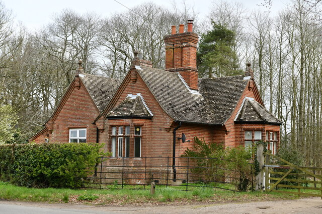
Church Plantation is a residential neighborhood located in Norfolk, Virginia. Nestled amidst lush woodlands and forests, it is known for its serene and picturesque setting. The neighborhood is primarily composed of single-family homes, offering a quiet and family-friendly atmosphere.
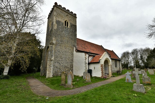
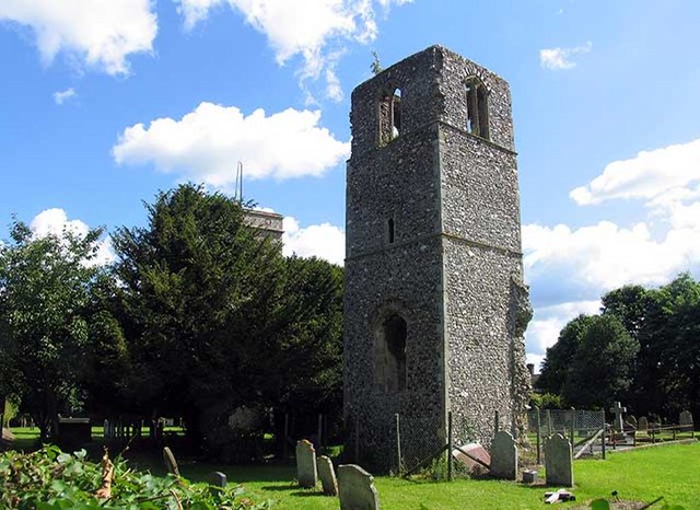
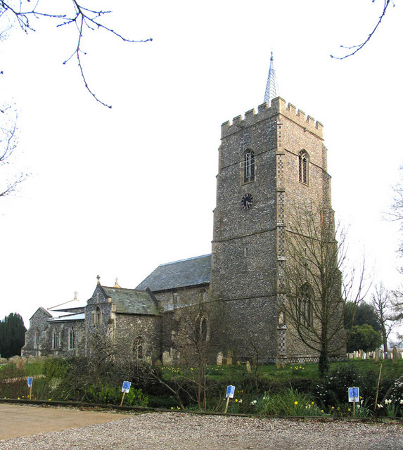
The area gets its name from the historical presence of a church that once stood on the plantation. Today, remnants of this historic structure can still be found, adding to the charm and character of the neighborhood.
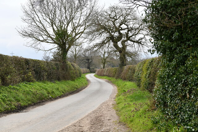
Church Plantation is well-known for its abundant green spaces and natural beauty. The surrounding forests provide a peaceful retreat for residents to enjoy outdoor activities such as hiking, biking, and walking trails. The neighborhood is also home to several parks and recreational areas, offering residents ample opportunities for outdoor recreation.
The community within Church Plantation is tight-knit and welcoming. Residents often come together for social gatherings, community events, and neighborhood watch programs, fostering a strong sense of belonging and safety.
Conveniently located, Church Plantation offers easy access to major roadways, making it a desirable location for commuters. The neighborhood is also in close proximity to various shopping centers, restaurants, and entertainment options, ensuring that residents have easy access to all their daily needs.
Overall, Church Plantation in Norfolk is a tranquil and idyllic neighborhood, nestled in the midst of nature, and offering a peaceful and close-knit community for its residents.
If you have any feedback on the listing, please let us know in the comments section below.
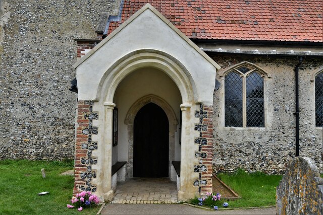
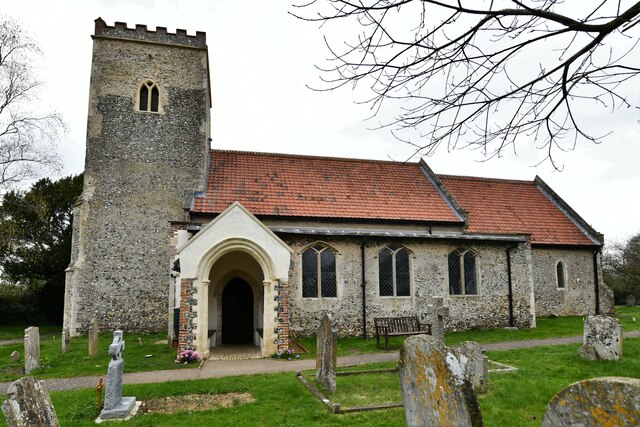
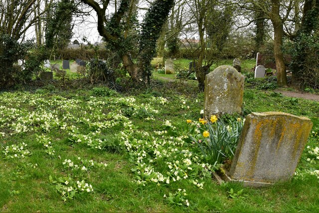
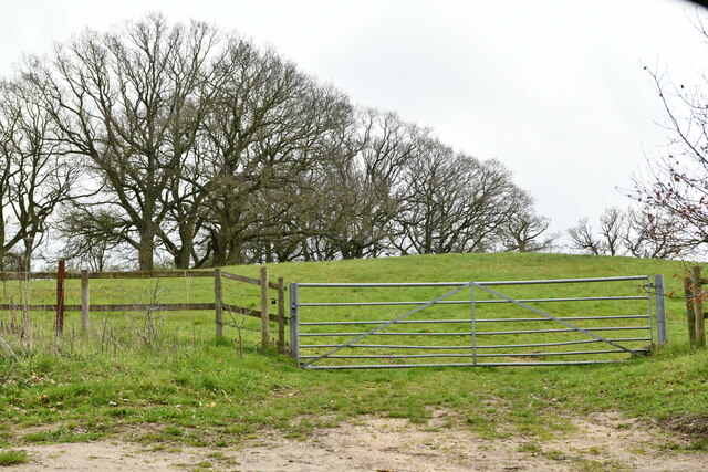
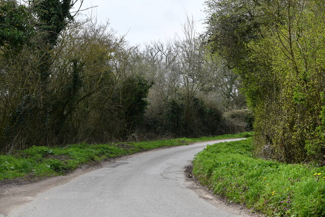
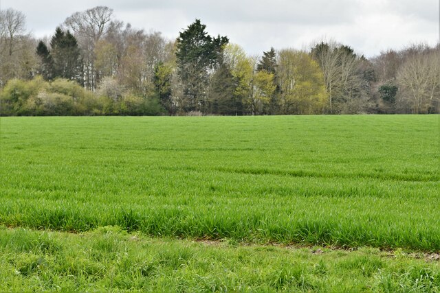
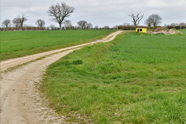
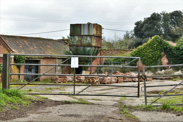
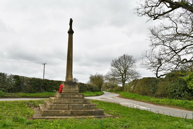
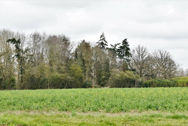
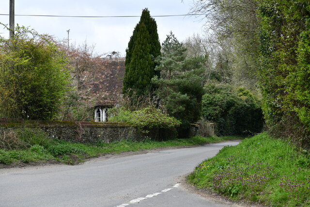
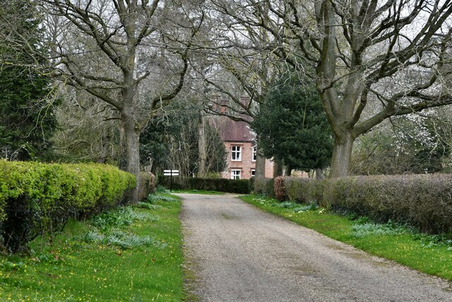
Church Plantation Images
Images are sourced within 2km of 52.61143/1.1583493 or Grid Reference TG1306. Thanks to Geograph Open Source API. All images are credited.


Church Plantation is located at Grid Ref: TG1306 (Lat: 52.61143, Lng: 1.1583493)
Administrative County: Norfolk
District: South Norfolk
Police Authority: Norfolk
What 3 Words
///adding.unheated.starfish. Near Hethersett, Norfolk
Related Wikis
Great Melton
Great Melton is a civil parish in the English county of Norfolk. It covers an area of 10.24 km2 (3.95 sq mi) and had a population of 148 in 59 households...
Hethersett
Hethersett is a large village and electoral ward in the county of Norfolk, England, about 6 miles (10 km) south-west of Norwich. It covers an area of 4...

River Tiffey
The River Tiffey is a small river in Norfolk, England and a tributary of the River Yare. It rises near Hethel and passes through Wymondham before flowing...

Hethersett Academy
Hethersett Academy, previously known as Hethersett High School and Science College, is a coeducational secondary school, part of the Inspiration Trust...
Hethersett Old Hall School
Hethersett Old Hall School was an independent school located in Hethersett, Norfolk, England that educated around 180 boys and girls. It was a day school...

Little Melton
Little Melton is a village on the outskirts of Norwich in the South Norfolk district of Norfolk, England. It covers an area of 2.75 km2 (1.06 sq mi) and...

Kett's Oak
Kett's Oak is one of the 50 Great British Trees. The ancient oak tree (Quercus robur) is located at the side of the B1172 road between Wymondham and Hethersett...

Wramplingham
Wramplingham is a village and civil parish in the English county of Norfolk. It is situated on the River Tiffey some 4 miles (6.4 km) north of Wymondham...
Related Videos

Summer Fields
Fields around Barford, Norfolk, England.

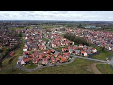
A short flight in Hethersett.
A brief flight over Hethersett's new estate. It's a bit less windy today. Still slightly too strong though. I also had a little interference so ...

Puncture Flat Tyre Fast Road
What can I say apart from 'Twat'. Why would you change you wheel there, side of a 70mph road and partially in lane 1.
Nearby Amenities
Located within 500m of 52.61143,1.1583493Have you been to Church Plantation?
Leave your review of Church Plantation below (or comments, questions and feedback).